Cauldshiels Hill
Hill, Mountain in Roxburghshire
Scotland
Cauldshiels Hill

Cauldshiels Hill is a prominent hill located in Roxburghshire, a historic county in the Scottish Borders region of Scotland. Standing at an elevation of approximately 272 meters (892 feet), it offers a commanding view of the surrounding countryside. The hill is situated near the village of Cauldshiels, about 5 kilometers south of the town of Hawick.
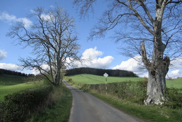
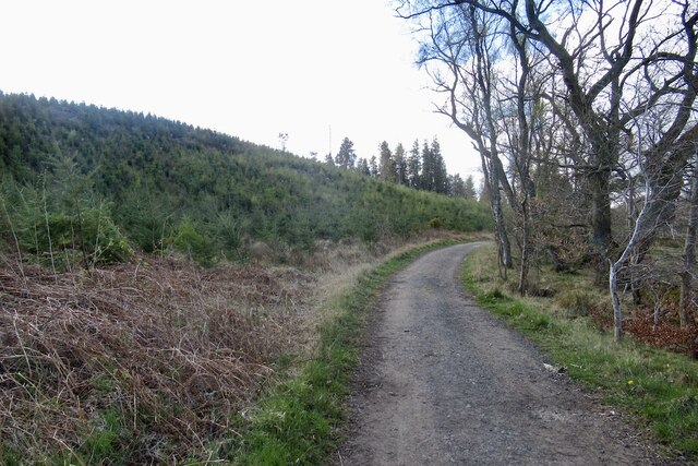
Covered in lush green vegetation, Cauldshiels Hill is a popular destination for outdoor enthusiasts and hikers. It is known for its well-maintained trails that provide visitors with an opportunity to explore its diverse wildlife and picturesque landscapes. The hill is home to a variety of plant species, including heather, gorse, and wildflowers, which create a vibrant and colorful scene during the summer months.
The summit of Cauldshiels Hill offers panoramic views of the surrounding area, allowing visitors to appreciate the beauty of the Scottish Borders. On a clear day, it is possible to see the rolling hills, meandering rivers, and distant mountains that characterize the region. The hill also provides an ideal vantage point for spotting local wildlife, such as birds of prey, deer, and rabbits.
Cauldshiels Hill is steeped in history and is believed to have been a site of ancient settlements and defensive structures. Its strategic location and commanding views suggest that it may have played a role in the region's past conflicts. Today, the hill serves as a peaceful retreat for nature lovers and a place of historical significance, attracting visitors from near and far.
If you have any feedback on the listing, please let us know in the comments section below.
Cauldshiels Hill Images
Images are sourced within 2km of 55.576214/-2.7695876 or Grid Reference NT5131. Thanks to Geograph Open Source API. All images are credited.


Cauldshiels Hill is located at Grid Ref: NT5131 (Lat: 55.576214, Lng: -2.7695876)
Unitary Authority: The Scottish Borders
Police Authority: The Lothians and Scottish Borders
What 3 Words
///captures.ambitions.riverboat. Near Tweedbank, Scottish Borders
Nearby Locations
Related Wikis

Lindean
Lindean is a village north of Selkirk and the Ettrick Water, in the Scottish Borders area of Scotland. In 1590 the parishioners of Lindean had permission...

Castle Holydean
Holydean Castle (pronounced "hollydeen") was a castle sited near Melrose in Bowden, 1.25 miles SW of the village, in the Scottish Borders region of Scotland...

Abbotsford Ferry railway station
Abbotsford Ferry railway station was a small railway station on the branch line from Galashiels to Selkirk railway station at Selkirk in the Scottish county...

Boleside
Boleside is a village in the Scottish Borders area of Scotland, on the B7060, south of Galashiels. It is very close to the place where the Ettrick Water...
Nearby Amenities
Located within 500m of 55.576214,-2.7695876Have you been to Cauldshiels Hill?
Leave your review of Cauldshiels Hill below (or comments, questions and feedback).