Gallow Hill
Hill, Mountain in Banffshire
Scotland
Gallow Hill
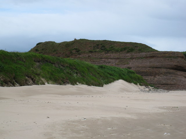
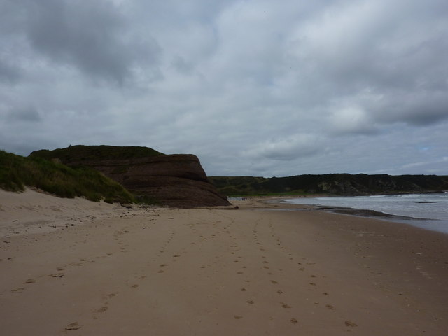
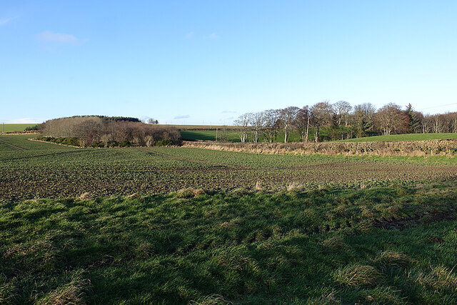
Gallow Hill is a prominent hill located in the county of Banffshire, Scotland. It is situated near the town of Banff, which is on the northeastern coast of the country. With an elevation of approximately 200 meters (656 feet), Gallow Hill offers breathtaking panoramic views of the surrounding landscape.
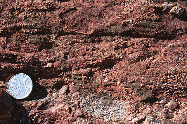
The hill is primarily composed of rugged granite, which gives it a distinctive appearance. Its slopes are covered in lush green vegetation, including grasses, heather, and scattered shrubs. The hill is also home to a variety of wildlife, such as birds, rabbits, and occasionally deer.
Gallow Hill holds historical significance as it is believed to have been used as a site for public executions in the past. The name "Gallow" is derived from the gallows that once stood on the hill. This dark history adds an air of mystery and intrigue to the location.
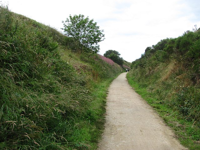
The hill is a popular destination for outdoor enthusiasts and nature lovers. It offers several walking trails that cater to different fitness levels, allowing visitors to explore its natural beauty at their own pace. On clear days, the summit provides stunning views of the North Sea, the town of Banff, and the surrounding countryside.
Gallow Hill is easily accessible, with parking available nearby. It provides a peaceful and serene escape from the hustle and bustle of everyday life, making it a favorite spot for locals and tourists alike.
If you have any feedback on the listing, please let us know in the comments section below.
Gallow Hill Images
Images are sourced within 2km of 57.685762/-2.8188097 or Grid Reference NJ5166. Thanks to Geograph Open Source API. All images are credited.


Gallow Hill is located at Grid Ref: NJ5166 (Lat: 57.685762, Lng: -2.8188097)
Unitary Authority: Moray
Police Authority: North East
What 3 Words
///rails.alongside.release. Near Cullen, Moray
Nearby Locations
Related Wikis
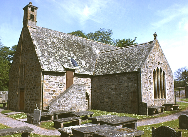
Cullen Old Church
Cullen Old Church (also known as Cullen Auld Kirk) is the parish church for Cullen and Deskford, in Moray. It was originally a part of the Roman Catholic...

Cullen Town Hall
Cullen Town Hall is a municipal building in The Square, Cullen, Moray, Scotland. The structure, which is currently used as a heritage centre, is a Category...
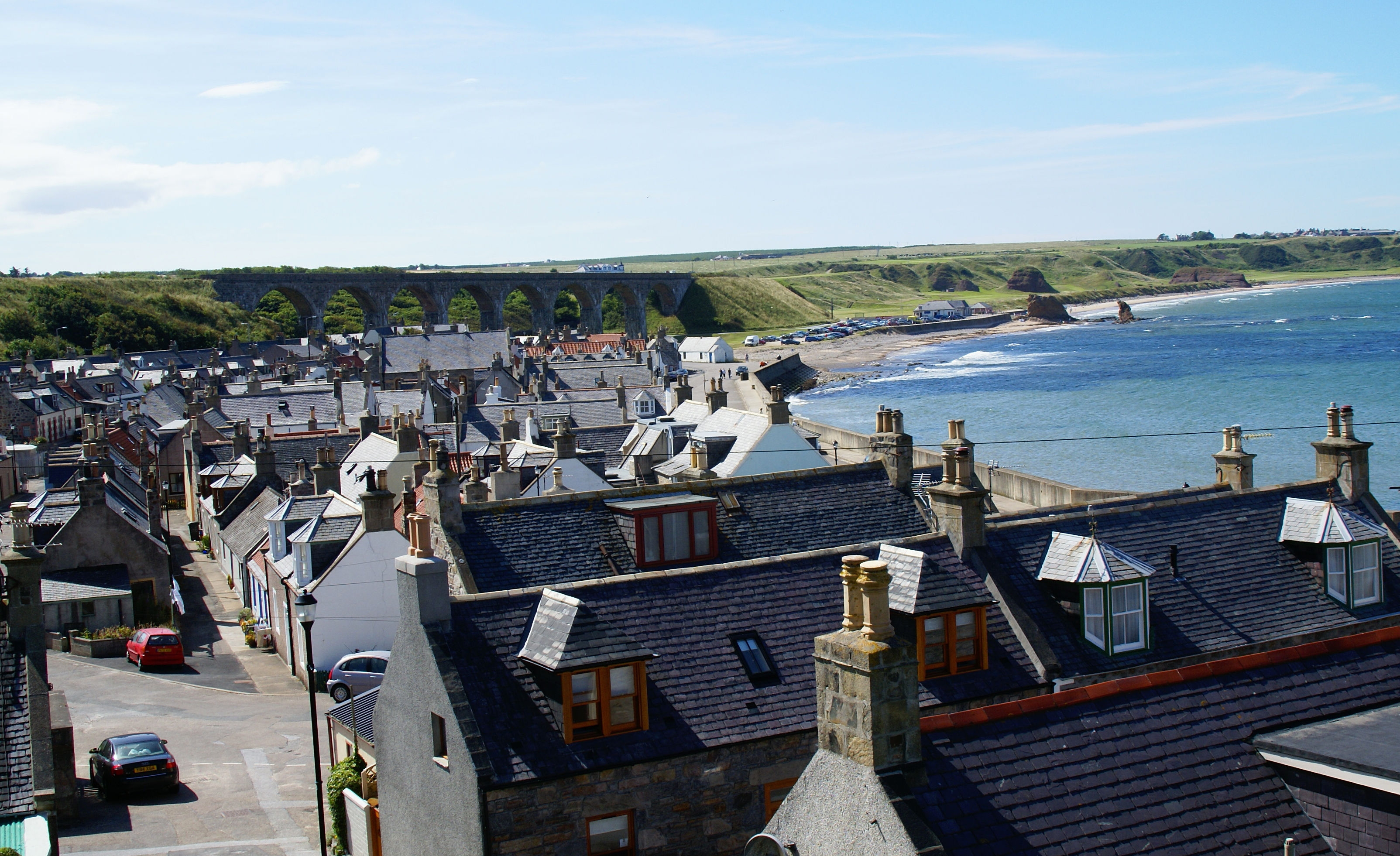
Cullen, Moray
Cullen (Scottish Gaelic: Inbhir Cuilinn) is a village and former royal burgh in Moray but historically in Banffshire, Scotland, on the North Sea coast...
Cullen Castle
Cullen Castle was a royal castle about 0.5 miles (0.80 km) west of Cullen, Moray, Scotland, west of the burn of Deskford, and south of Seatown. The remains...

Cullen House
Cullen House is a large house, about 1 kilometre (0.6 mi) south-west of the coastal town of Cullen in Moray, Scotland. It was the seat of the Ogilvies...

Cullen railway station
Cullen railway station was a railway station that served the small fishing village of Cullen, close to Portknockie in Moray. The railway station was opened...

Tochieneal railway station
Tochieneal railway station was a railway station that served the small industrial village of Tochieneal, close to Cullen in Moray. The railway station...

Findlater Castle
Findlater Castle is the old seat of the Earls of Findlater and Seafield, sitting on a 50-foot (15 m)-high cliff overlooking the Moray Firth on the coast...
Nearby Amenities
Located within 500m of 57.685762,-2.8188097Have you been to Gallow Hill?
Leave your review of Gallow Hill below (or comments, questions and feedback).