Birch Hill

Hill, Mountain in Aberdeenshire

Scotland

Birch Hill

Risquehouse This is the house at Risquehouse, viewed from the minor public road. It is certain well sheltered by the forest next to it.
Risquehouse Credit: Anne Burgess

Birch Hill is a prominent and picturesque hill located in Aberdeenshire, Scotland. Standing at an elevation of approximately 320 meters (1,050 feet), it offers breathtaking panoramic views of the surrounding countryside. Situated near the village of Birse, Birch Hill is a popular destination for outdoor enthusiasts, hikers, and nature lovers.

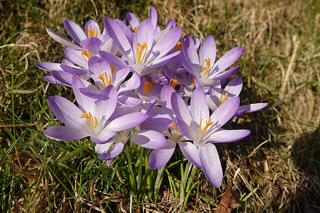
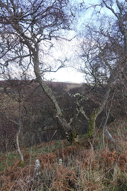
The hill is characterized by its distinctive shape, with a gentle slope on one side and a steeper incline on the other. It is covered in a variety of vegetation, including birch trees, heather, and grasses, giving it a vibrant and colorful appearance throughout the year. The presence of these trees is where the hill derives its name.

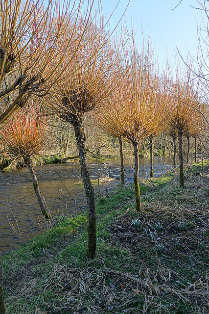
Birch Hill is easily accessible, with a well-maintained trail leading to the summit. The hike to the top is considered moderately challenging, providing a suitable adventure for both experienced and novice hikers. Along the way, visitors can enjoy the diverse flora and fauna of the area, including sightings of various bird species and small mammals.

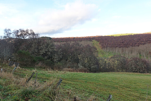
Once at the peak, visitors are rewarded with breathtaking views of the surrounding Aberdeenshire landscape. On clear days, it is possible to see the rolling hills, forests, and farmland stretching out into the distance. The hilltop also offers a serene and peaceful atmosphere, making it an excellent spot for relaxation, picnicking, or simply enjoying the beauty of nature.

In summary, Birch Hill in Aberdeenshire is a captivating hill that offers stunning vistas, a variety of wildlife, and an enjoyable hiking experience for all nature enthusiasts.

If you have any feedback on the listing, please let us know in the comments section below.
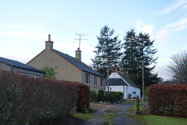
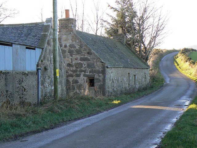
Birch Hill Images

Images are sourced within 2km of 57.385344/-2.816757 or Grid Reference NJ5033. Thanks to Geograph Open Source API. All images are credited.

Risquehouse This is the house at Risquehouse, viewed from the minor public road. It is certain well sheltered by the forest next to it.
Risquehouse
This is the house at Risquehouse, viewed from the minor public road. It is certain well sheltered by the forest next to it.
Tor Hill The gated road gives access to the forestry on Gartly Moor.
Tor Hill
The gated road gives access to the forestry on Gartly Moor.
Tor Hill Sheep grazing in a field below the wooded Tor Hill.
Tor Hill
Sheep grazing in a field below the wooded Tor Hill.
River Bogie Looking downstream from the bridge at Gartly.
River Bogie
Looking downstream from the bridge at Gartly.
Gartly The main street in the small village of Gartly.
Gartly
The main street in the small village of Gartly.
Haugh at Culdrain The flat land is the flood plain or water meadow of the meandering River Bogie, which is on the left of the view.
Haugh at Culdrain
The flat land is the flood plain or water meadow of the meandering River Bogie, which is on the left of the view.
Early Crocus (Crocus tommasinianus) A fine clump of the first species of crocus to flower each year. They are not native, but often naturalise after escaping from gardens.
Early Crocus (Crocus tommasinianus)
A fine clump of the first species of crocus to flower each year. They are not native, but often naturalise after escaping from gardens.
River Bogie Pollarded willows flank an informal path beside the River Bogie.
River Bogie
Pollarded willows flank an informal path beside the River Bogie.
Pollarded Willows In early spring, before the shoots are clipped, these willows look almost like flaming torches in the late afternoon sunshine.
Pollarded Willows
In early spring, before the shoots are clipped, these willows look almost like flaming torches in the late afternoon sunshine.
River Bogie Looking across to the right bank near Culdrain.
River Bogie
Looking across to the right bank near Culdrain.
Old railway buildings at Gartly
Hill of Kirkney and Hill of Noth From the 'back' road to Gartly near Birkenhill. Cold weather.
Hill of Kirkney and Hill of Noth
From the 'back' road to Gartly near Birkenhill. Cold weather.
Field and Woods We've come into the shade of Collithie Hill, so the birches on the edge of this field look quite dark and gloomy. There seems to have been a lot of planting on the other side of the glen.
Field and Woods
We've come into the shade of Collithie Hill, so the birches on the edge of this field look quite dark and gloomy. There seems to have been a lot of planting on the other side of the glen.
Roadside Woodland Hoary-looking birches, complete with lichen and fungi, line the side of the road.
Roadside Woodland
Hoary-looking birches, complete with lichen and fungi, line the side of the road.
Cottages at Coynachie An old whitewashed cottage and a more recent one just off the road approaching Coynachie.
Cottages at Coynachie
An old whitewashed cottage and a more recent one just off the road approaching Coynachie.
Gartly railway station (site), Aberdeenshire Opened in 1854 on the Great North of Scotland Railway's line from Aberdeen to Keith, this station closed in 1968. The line was later singled.
View south towards Kennethmont and Aberdeen. The scene seems a little more overgrown than when <a href="https://www.geograph.org.uk/photo/3557389">NJ5232 : Gartly station, remains 1997</a> was taken from the same position some 20 years earlier.
Gartly railway station (site), Aberdeenshire
Opened in 1854 on the Great North of Scotland Railway's line from Aberdeen to Keith, this station closed in 1968. The line was later singled. View south towards Kennethmont and Aberdeen. The scene seems a little more overgrown than when NJ5232 : Gartly station, remains 1997 was taken from the same position some 20 years earlier.
Old Milestone by the A97, Culdrain, Gartly parish Stone post by the A97, in parish of Gartly (District), Culdrain, straight road with double white lines.

Inscription reads:-
43
(To Aberdeen)
Carved bench mark and rivet on top.

Surveyed

Milestone Society National ID: AD_ALHN43
Old Milestone by the A97, Culdrain, Gartly parish
Stone post by the A97, in parish of Gartly (District), Culdrain, straight road with double white lines. Inscription reads:- 43 (To Aberdeen) Carved bench mark and rivet on top. Surveyed Milestone Society National ID: AD_ALHN43
Old Milestone by the A97, Gartly parish Stone post by the A97, in parish of Gartly (District), Gartly, West side of road, opposite radio mast in field.

Inscription reads:-
42
(To Aberdeen)

Surveyed

Milestone Society National ID: AD_ALHN42
Old Milestone by the A97, Gartly parish
Stone post by the A97, in parish of Gartly (District), Gartly, West side of road, opposite radio mast in field. Inscription reads:- 42 (To Aberdeen) Surveyed Milestone Society National ID: AD_ALHN42
Show me another place!

Birch Hill is located at Grid Ref: NJ5033 (Lat: 57.385344, Lng: -2.816757)

Unitary Authority: Aberdeenshire

Police Authority: North East

What 3 Words

///bandage.herds.laminated. Near Huntly, Aberdeenshire

Nearby Locations

Birch Hill

Related Wikis

Strathbogie, Scotland

Strathbogie (Scottish Gaelic: Srath Bholgaidh or Srath Bhalgaidh) is a district and river valley of northwest Aberdeenshire in Scotland, formerly one of...

Gartly

Gartly (Scots: Gairtlie, Scottish Gaelic: Gartaidh) is an inland hamlet in Aberdeenshire, Scotland. It is several miles south of the town of Huntly, and...

Gartly railway station

Gartly railway station served the hamlet of Gartly, Aberdeenshire, Scotland from 1854 to 1968 on the Great North of Scotland Railway. == History == The...

Backburn

Backburn is a rural settlement near Gartly in Aberdeenshire, Scotland. == References ==

Gartly Castle

Gartly Castle was a 15th-century castle, about 1 mile (1.6 km) north-east of Gartly, Aberdeenshire, Scotland, and 4 miles (6.4 km) south of Huntly, east...

A97 road

The A97 is a major road in Aberdeenshire, Scotland. A very short section of the road is within Moray == Route == It runs south from Banff on the north...

Leith Hall

Leith Hall is a country house in Kennethmont, Aberdeenshire, Scotland. It was built in 1650, on the site of the medieval Peill Castle, and was the home...

Tap o' Noth

The Tap o' Noth is a hill and fort, 8 miles south of Huntly in Aberdeenshire, Scotland at grid reference NJ485293. It is the second highest fort in Scotland...

Nearby Amenities

Located within 500m of 57.385344,-2.816757
Power: pole
Lat/Long: 57.3879289/-2.8105114
Power: pole
Lat/Long: 57.3872705/-2.8104329
Power: pole
Lat/Long: 57.386971/-2.80929
Power: pole
Lat/Long: 57.3885398/-2.8218956
Power: pole
Lat/Long: 57.3889383/-2.8206176
Power: pole
Lat/Long: 57.3894172/-2.8197777
Generator Method: wind_turbine
Generator Output Electricity: yes
Generator Source: wind
Generator Type: horizontal_axis
Power: generator
Lat/Long: 57.3869281/-2.8145573
Generator Method: wind_turbine
Generator Output Electricity: yes
Generator Source: wind
Generator Type: horizontal_axis
Power: generator
Lat/Long: 57.3866664/-2.8158394
The data included in this document is from www.openstreetmap.org. The data is made available under ODbL.

Have you been to Birch Hill?

Leave your review of Birch Hill below (or comments, questions and feedback).