Craig Soales

Hill, Mountain in Angus

Scotland

Craig Soales

Estate road, Mount Een The track from the summit of Mount Een to Craig Soales.  Patches of heather at various stages or regeneration after burning can be seen.
Estate road, Mount Een Credit: Chris Eilbeck

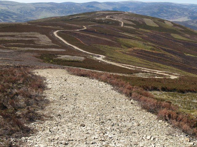
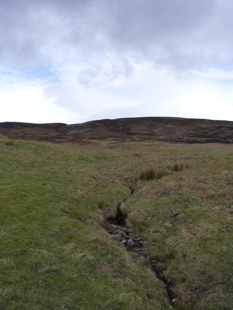
Craig Soales, Angus is a prominent hill located in the Angus region of Scotland. Standing at an impressive height of 455 meters (1,492 feet), it offers stunning panoramic views of the surrounding countryside and is a popular destination for hikers and nature enthusiasts.

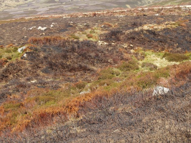
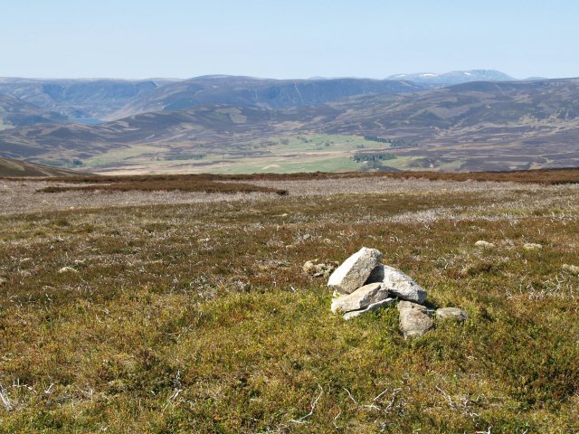
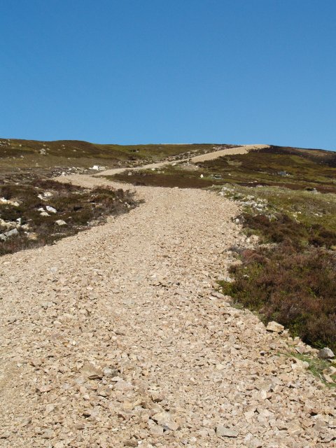
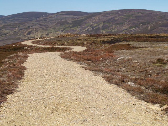
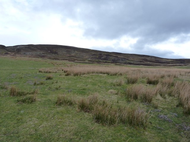
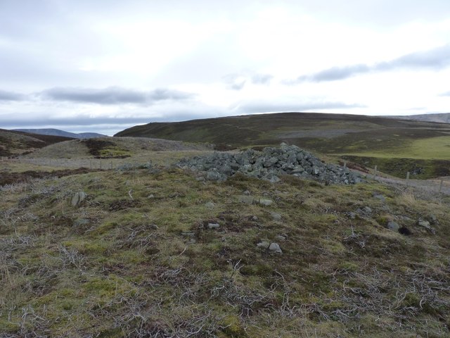
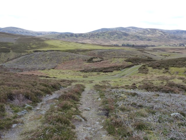
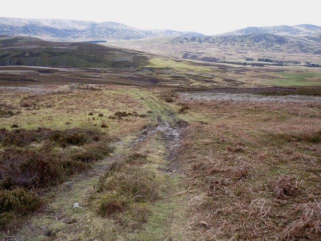
The hill is known for its rugged terrain, with steep slopes and rocky outcrops making it a challenging but rewarding climb. The summit of Craig Soales offers a commanding view of the surrounding landscape, including the nearby towns of Brechin and Edzell, as well as the rolling hills and lush farmland of Angus.

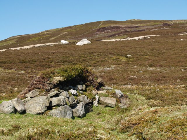
Craig Soales is home to a variety of plant and animal species, including heather, bracken, and a variety of bird species. The hill is also steeped in history, with ancient ruins and archaeological sites scattered throughout its slopes.

Visitors to Craig Soales can enjoy a range of activities, including hiking, birdwatching, and photography. The hill is easily accessible from nearby towns and villages, making it a popular destination for day trips and outdoor adventures. With its stunning views and rich natural beauty, Craig Soales, Angus is a must-visit destination for anyone exploring the Scottish countryside.

If you have any feedback on the listing, please let us know in the comments section below.

Craig Soales Images

Images are sourced within 2km of 56.919877/-2.8075128 or Grid Reference NO5081. Thanks to Geograph Open Source API. All images are credited.

Estate road, Mount Een The track from the summit of Mount Een to Craig Soales.  Patches of heather at various stages or regeneration after burning can be seen.
Estate road, Mount Een
The track from the summit of Mount Een to Craig Soales. Patches of heather at various stages or regeneration after burning can be seen.
Burnt heather,  Mount Een The heather is regularly burnt to promote new growth, which provides food for the Grouse.
Burnt heather, Mount Een
The heather is regularly burnt to promote new growth, which provides food for the Grouse.
Summit Cairn, Mount Een The top is rather flat but with good views.
Summit Cairn, Mount Een
The top is rather flat but with good views.
Grouse Butt, Mount Een Further up the hill are more elaborate circular butts which are replacing these older style constructions.
Grouse Butt, Mount Een
Further up the hill are more elaborate circular butts which are replacing these older style constructions.
Estate road, Mount Een The network of estate roads in this area rather distract from the landscape.
Estate road, Mount Een
The network of estate roads in this area rather distract from the landscape.
Estate road, Mount Een Takes the flat ridge between Mount Een and Bennygray.
Estate road, Mount Een
Takes the flat ridge between Mount Een and Bennygray.
Race Marshall, Scarecrow you tell me You see the strangest things when you spend time wandering around the local mountain tracks on a slight mound where 2 tracks meet.  Mount Battock has a nice covering of rainy cloud on the horizon.
Race Marshall, Scarecrow you tell me
You see the strangest things when you spend time wandering around the local mountain tracks on a slight mound where 2 tracks meet. Mount Battock has a nice covering of rainy cloud on the horizon.
The lower slopes of Craig Soales Lightly improved grassland at lower altitudes, which gives way to extensive grouse moor above.
The lower slopes of Craig Soales
Lightly improved grassland at lower altitudes, which gives way to extensive grouse moor above.
A tributary of the Burn of Mangey
The Mile Cairn An ancient cairn on the pass between Tarfside and Millden, with Craig Crane beyond.
The Mile Cairn
An ancient cairn on the pass between Tarfside and Millden, with Craig Crane beyond.
Track junction above Tarfside A few feet above the junction of tracks in the valley - the one we're climbing here leads high up onto Craig Soales and the grouse moors above.
Track junction above Tarfside
A few feet above the junction of tracks in the valley - the one we're climbing here leads high up onto Craig Soales and the grouse moors above.
Down the track that climbs Craig Soales
A small cairn on the hillside Unmarked on the maps, this cairn sits at about 1400' on the south side of Craig Soales.
A small cairn on the hillside
Unmarked on the maps, this cairn sits at about 1400' on the south side of Craig Soales.
Grouse moor and shooting butts above the Burn of Greenholm The whole hillside is actively managed for grouse rearing, and there's plenty of shooting to be had.
Grouse moor and shooting butts above the Burn of Greenholm
The whole hillside is actively managed for grouse rearing, and there's plenty of shooting to be had.
Summit cairn on Craig Soales At 503m (or 1653' by the GPS) this is the first significant hill on the ridge to Mount Battock from the southwest.
Summit cairn on Craig Soales
At 503m (or 1653' by the GPS) this is the first significant hill on the ridge to Mount Battock from the southwest.
The summit area of Craig Soales A small cairn adorns the summit, with the whole area beingactively managed for grouse, hence the recently burnt heather patches.
The summit area of Craig Soales
A small cairn adorns the summit, with the whole area beingactively managed for grouse, hence the recently burnt heather patches.
Along the hill track towards Mount Battock The whole estate is being laced with these hill-top tracks, presumably to allow access to grouse rearing and shooting. The mound of turfs, marked with the pole, contains a small pot of grouse grit.
Along the hill track towards Mount Battock
The whole estate is being laced with these hill-top tracks, presumably to allow access to grouse rearing and shooting. The mound of turfs, marked with the pole, contains a small pot of grouse grit.
Upgraded tracks on Mount Een Plenty of active track building as part of the moor management for grouse shooting.
Upgraded tracks on Mount Een
Plenty of active track building as part of the moor management for grouse shooting.
Show me another place!

Craig Soales is located at Grid Ref: NO5081 (Lat: 56.919877, Lng: -2.8075128)

Unitary Authority: Angus

Police Authority: Tayside

What 3 Words

///freshest.nuptials.bluffs. Near Aboyne, Aberdeenshire

Nearby Locations

Craig Soales

Related Wikis

Tarfside

Tarfside is a small hamlet in Angus, Scotland. It is situated in Glen Esk, on the upper course of the River North Esk, around 8 miles north of Edzell,...

Millden

Millden is a hamlet, estate and farmstead in Glenesk, Angus, Scotland. It is situated in the upper course of the Glen Esk valley, where the Burn of Turret...

Mount Battock

Mount Battock (778 m) is a mountain in the Mounth on the eastern edge of the Scottish Highlands, on the border between Aberdeenshire and Angus. A rounded...

Colmeallie stone circle

The Colmeallie stone circle is a recumbent stone circle in Glen Esk, Angus, Scotland. It is located 8 km north of Edzell at Colmeallie Farm, adjacent to...

Nearby Amenities

Located within 500m of 56.919877,-2.8075128
Craig Soales
Ele: 502
Natural: peak
Lat/Long: 56.9201108/-2.8070095
The data included in this document is from www.openstreetmap.org. The data is made available under ODbL.

Have you been to Craig Soales?

Leave your review of Craig Soales below (or comments, questions and feedback).