Hembury Hill

Hill, Mountain in Somerset Mendip

England

Hembury Hill

Hurn Drove The oak tree to the right of the camera provides welcome shelter while donning a raincoat as the heavens have opened. This is at the junction of Tripps, Yeap's, Godney and Hurn Droves.
Hurn Drove Credit: Derek Harper

Hembury Hill is an ancient hillfort located in Somerset, England. It is situated near the village of Buckland St Mary, approximately 7 miles southwest of the town of Taunton. The hillfort is positioned on a prominent hilltop, offering commanding views of the surrounding countryside.

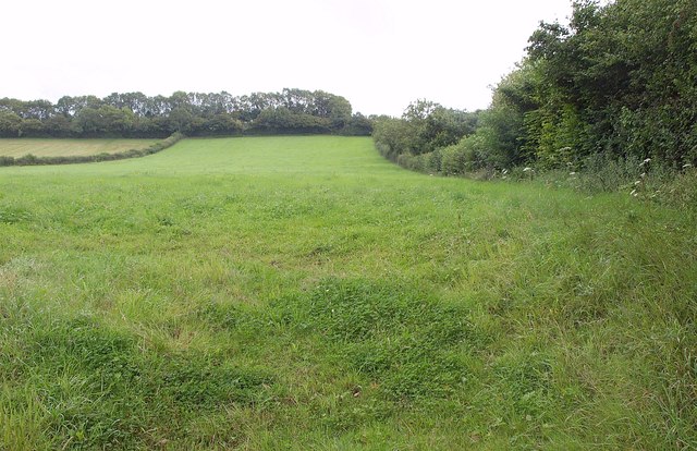
The site has a long history, with evidence of human occupation dating back to the Iron Age, around 300 BC. The hillfort itself consists of a series of earthen ramparts and ditches, enclosing an area of approximately 4 hectares. These defensive features would have provided protection to the inhabitants and their livestock.

Excavations at Hembury Hill have uncovered various artifacts, including pottery, coins, and tools, providing insight into the daily lives of its inhabitants. The hillfort also contains the remains of several roundhouses, which would have served as dwellings for the people who lived there.

In addition to its archaeological significance, Hembury Hill is also a popular destination for hikers and nature enthusiasts. The surrounding area is characterized by rolling hills, woodlands, and picturesque farmland. Visitors can enjoy scenic walks along the footpaths that traverse the hill, taking in the breathtaking views of the Somerset countryside.

Overall, Hembury Hill is a fascinating historical site, offering a glimpse into the lives of the Iron Age inhabitants who once called it home. Its combination of archaeological importance and natural beauty make it a must-visit location for those interested in both history and outdoor activities.

If you have any feedback on the listing, please let us know in the comments section below.
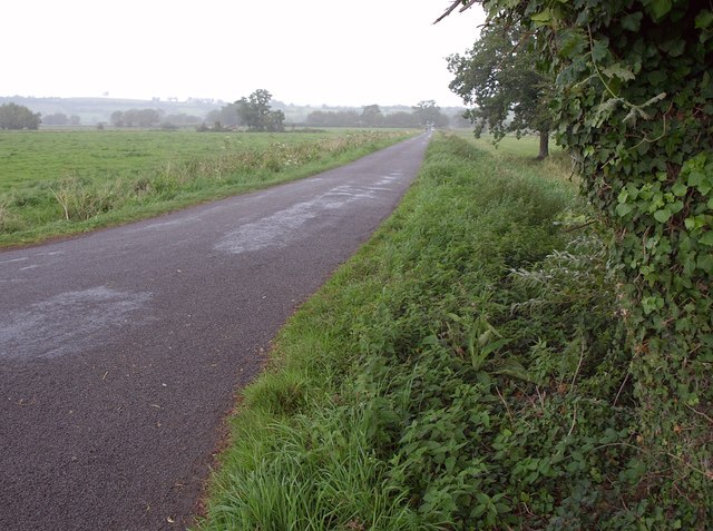
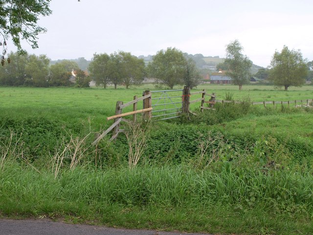
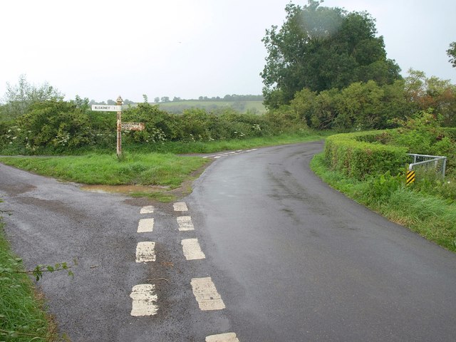
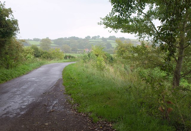
Hembury Hill Images

Images are sourced within 2km of 51.198599/-2.7046458 or Grid Reference ST5044. Thanks to Geograph Open Source API. All images are credited.

Hurn Drove The oak tree to the right of the camera provides welcome shelter while donning a raincoat as the heavens have opened. This is at the junction of Tripps, Yeap's, Godney and Hurn Droves.
Hurn Drove
The oak tree to the right of the camera provides welcome shelter while donning a raincoat as the heavens have opened. This is at the junction of Tripps, Yeap's, Godney and Hurn Droves.
Towards Shott's Farm A rainswept corner of the levels, seen from Hurn Drove.
Towards Shott's Farm
A rainswept corner of the levels, seen from Hurn Drove.
Junction of droves near Hurn Farm The unusually winding route of the lanes is determined by the circuitous course of the River Sheppey, just to the right. Left here is Leaze Drove; right is Ashmoor Drove. <a href="https://www.geograph.org.uk/photo/1863987">ST4944 : Turning for Bleadney</a> shows the junction from the opposite side. It's raining steadily, which explains the water on the lens in spite of best efforts to keep it dry.
Junction of droves near Hurn Farm
The unusually winding route of the lanes is determined by the circuitous course of the River Sheppey, just to the right. Left here is Leaze Drove; right is Ashmoor Drove. ST4944 : Turning for Bleadney shows the junction from the opposite side. It's raining steadily, which explains the water on the lens in spite of best efforts to keep it dry.
Ashmoor Drove A large tree offers a chance to dry the lens (see <a href="https://www.geograph.org.uk/photo/2589582">ST4944 : Junction of droves near Hurn Farm</a>) while the rain continues. Across the levels in Longstring Farm at the foot of Yarley Hill.
Ashmoor Drove
A large tree offers a chance to dry the lens (see ST4944 : Junction of droves near Hurn Farm) while the rain continues. Across the levels in Longstring Farm at the foot of Yarley Hill.
Field near Henton Looking up the slopes of Yarley Hill from the B3139 east of Henton.
Field near Henton
Looking up the slopes of Yarley Hill from the B3139 east of Henton.
Ripple Farm A farmhouse on the B3139 at the east end of Henton.
Ripple Farm
A farmhouse on the B3139 at the east end of Henton.
Christ Church, Henton
Flow Measuring Station on River Sheppey The River Sheppey is a significant watercourse on this part of the Somerset Levels, taking water from the foot of the Mendips at Wells, meandering around Godney and into the rhynes that feed the River Brue. 
The Environment Agency monitor the river flow and can thus predict flooding: data available at <span class="nowrap"><a title="http://www.environment-agency.gov.uk/homeandleisure/floods/riverlevels/riverstation.aspx?StationId=3054&RegionId=5&AreaId=9&CatchmentId=19" rel="nofollow ugc noopener" href="http://www.environment-agency.gov.uk/homeandleisure/floods/riverlevels/riverstation.aspx?StationId=3054&RegionId=5&AreaId=9&CatchmentId=19">Link</a><img style="margin-left:2px;" alt="External link" title="External link - shift click to open in new window" src="https://s1.geograph.org.uk/img/external.png" width="10" height="10"/></span>
Flow Measuring Station on River Sheppey
The River Sheppey is a significant watercourse on this part of the Somerset Levels, taking water from the foot of the Mendips at Wells, meandering around Godney and into the rhynes that feed the River Brue. The Environment Agency monitor the river flow and can thus predict flooding: data available at LinkExternal link
B3139 towards Henton
HENTON, Somerset Christ Church is a Victorian structure.
HENTON, Somerset
Christ Church is a Victorian structure.
Cows in Orchard I'm surprised that in December the cows are not in sheds.
Cows in Orchard
I'm surprised that in December the cows are not in sheds.
River Sheppey flow measuring station The discharge of the river Sheppey is measured at this point.
River Sheppey flow measuring station
The discharge of the river Sheppey is measured at this point.
Rhine and Hurn Drove A deeply cut rhine running parallel to Hurn drove as it descends onto Godney Moor.
Rhine and Hurn Drove
A deeply cut rhine running parallel to Hurn drove as it descends onto Godney Moor.
Wells Nursing Home, Henton
Henton House, Wells Road, Henton
Turning for Bleadney
Flow measuring station
View from Hurn Drove near Godney Looking south from Hurn Drove over the Somerset Levels towards Glastonbury Tor.
View from Hurn Drove near Godney
Looking south from Hurn Drove over the Somerset Levels towards Glastonbury Tor.
Show me another place!

Hembury Hill is located at Grid Ref: ST5044 (Lat: 51.198599, Lng: -2.7046458)

Administrative County: Somerset

District: Mendip

Police Authority: Avon and Somerset

What 3 Words

///exposing.heap.reclined. Near Wells, Somerset
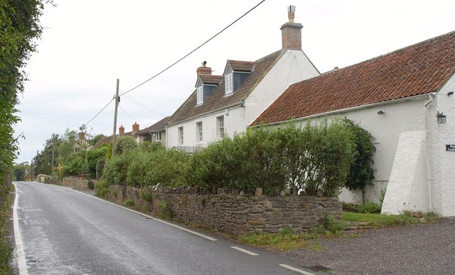
Related Wikis

Ben Knowle

Ben Knowle (grid reference ST513450) is a 1.5 hectare geological Site of Special Scientific Interest in Somerset, notified in 1984. Ben Knowle is a natural...

Fenny Castle

Fenny Castle is the remains of a motte and bailey castle in the parish of Wookey, Somerset, England. It is a Scheduled Ancient Monument, but not accessible...

Wookey

Wookey is a village and civil parish 2 miles (3.2 km) west of Wells, on the River Axe in Somerset, England. The parish includes the village of Henton and...

Polsham railway station

Polsham was a railway station on the Somerset and Dorset Railway in the village of Polsham, Somerset in England. Opening in December 1861 on the Somerset...

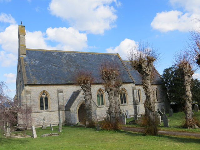
Christ Church, Coxley

Christ Church is a Church of England church in Coxley, Somerset, England. It was built in 1839–40 to the designs of Richard Carver and is a Grade II listed...

St Cuthbert Out

St Cuthbert Out, sometimes Wells St Cuthbert Out, is a civil parish in the Mendip district of Somerset, England. It entirely surrounds (but does not include...

Wookey railway station

Wookey railway station was a station on the Bristol and Exeter Railway's Cheddar Valley line in Somerset, England. The site is a 0.04 hectare geological...

St Cuthberts Mill

St Cuthberts Mill is a British paper manufacturing company in Wells, Somerset, that specialises in mould made artists papers. The range includes traditional...

Nearby Amenities

Located within 500m of 51.198599,-2.7046458
Power: pole
Lat/Long: 51.1982485/-2.7112734
Power: pole
Lat/Long: 51.1975124/-2.7109087
The data included in this document is from www.openstreetmap.org. The data is made available under ODbL.

Have you been to Hembury Hill?

Leave your review of Hembury Hill below (or comments, questions and feedback).