Capplebarrow
Hill, Mountain in Westmorland South Lakeland
England
Capplebarrow
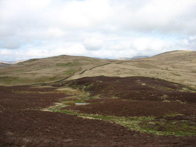
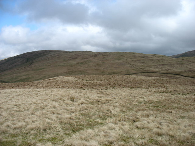
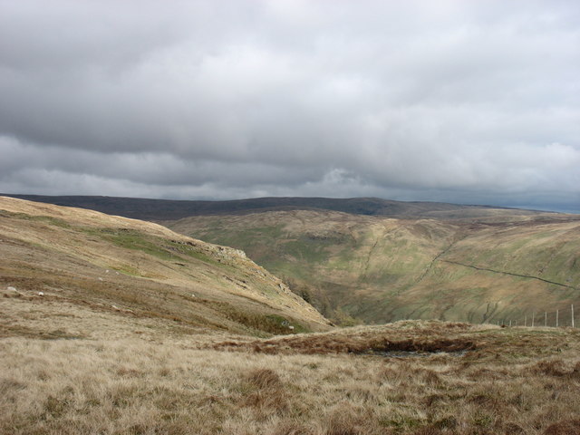
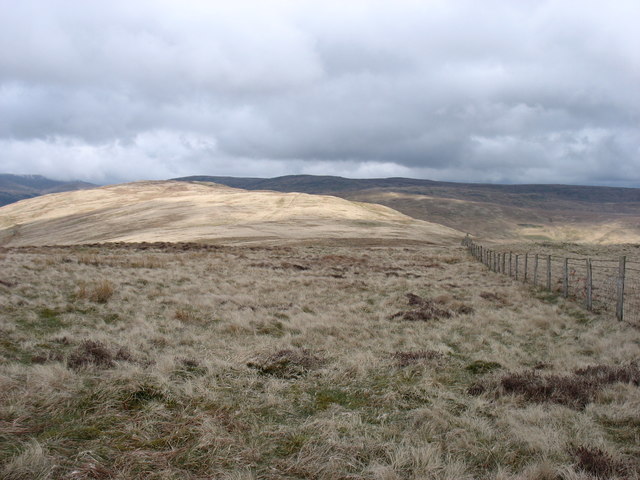
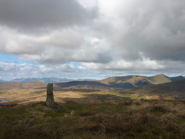
Capplebarrow is a prominent hill located in the county of Westmorland, in the northwestern region of England. Situated in the Lake District National Park, it is renowned for its stunning natural beauty and panoramic views of the surrounding landscape.
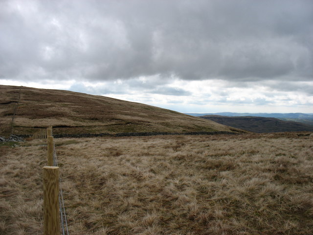
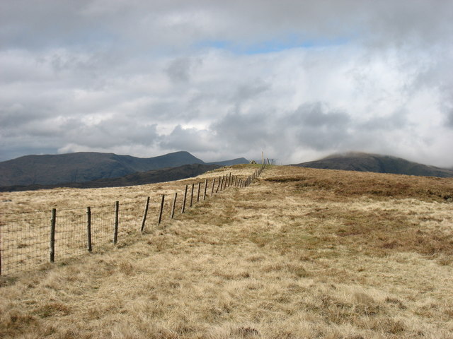
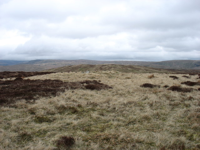
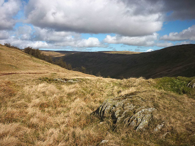
Rising to an impressive height of 1,200 feet (366 meters), Capplebarrow dominates the skyline with its distinct pyramidal shape. It is primarily composed of slate and limestone, which gives it a rugged and rocky appearance. The hill is covered in lush green vegetation, with patches of heather and bracken adding to its picturesque charm.
Accessing Capplebarrow is relatively easy, with a well-maintained footpath leading to the summit. As visitors ascend, they are treated to breathtaking vistas of the rolling hills, sparkling lakes, and dense forests that define the Lake District. On clear days, it is even possible to catch a glimpse of the nearby Lake Windermere from the summit.
Capplebarrow is a popular destination for hikers, nature enthusiasts, and photographers alike. Its peaceful ambiance and unspoiled surroundings make it an ideal spot for a leisurely stroll or a picnic. The hill is also home to a variety of wildlife, including birds of prey, deer, and smaller mammals, making it a haven for nature lovers.
Whether admired for its awe-inspiring views, challenging hiking trails, or abundant flora and fauna, Capplebarrow is undoubtedly a must-visit location for anyone exploring the natural wonders of Westmorland and the Lake District.
If you have any feedback on the listing, please let us know in the comments section below.
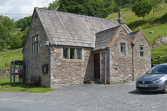
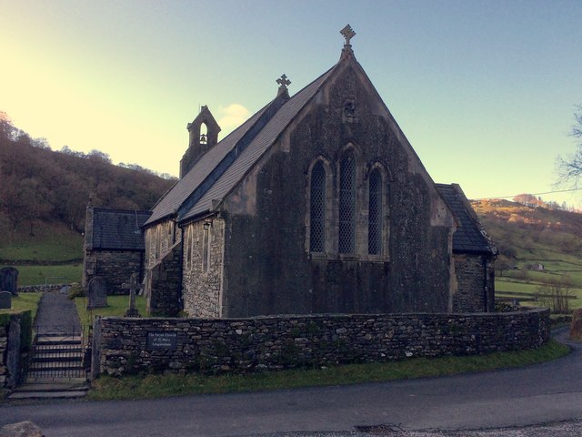
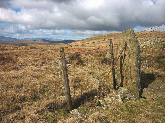
Capplebarrow Images
Images are sourced within 2km of 54.42492/-2.759166 or Grid Reference NY5003. Thanks to Geograph Open Source API. All images are credited.

Capplebarrow is located at Grid Ref: NY5003 (Lat: 54.42492, Lng: -2.759166)
Administrative County: Cumbria
District: South Lakeland
Police Authority: Cumbria
What 3 Words
///closed.tarred.sized. Near Staveley, Cumbria
Nearby Locations
Related Wikis

Longsleddale
Longsleddale () is a valley and civil parish in the South Lakeland district of Cumbria, England. It includes the hamlet of Sadgill. The parish has a population...

River Sprint
The River Sprint is a river in Cumbria, England with its source high up on the south-facing side of Harter Fell. It flows into the River Kent just to...

Bannisdale Horseshoe
The Bannisdale Horseshoe is an upland area in Cumbria, England, near the eastern boundary of the Lake District National Park, surrounding the valley of...

Lowbridge Estate
The Lowbridge Estate is a country estate of approximately 2000 acres in the Lake District region of England that was in the continuous ownership of the...

Crookdale Horseshoe
The Crookdale Horseshoe is a group of hills on the eastern edge of the English Lake District, in Cumbria, west of the A6 road. They are the subject of...

Sadgill
Sadgill is a hamlet in Longsleddale, Cumbria, England. It is a divided settlement, also containing Low Sadgill. == References ==

Potter Fell
Potter Fell is a fell near the villages of Burneside and Staveley, Cumbria, England, reaching a maximum height of 1,400 feet (430 m) at Brunt Knott. Alfred...

Grey Crag
Grey Crag is a fell in the English Lake District. It stands to the east of Longsleddale in the Far Eastern Fells. == Topography == North of Sadgill, the...
Nearby Amenities
Located within 500m of 54.42492,-2.759166Have you been to Capplebarrow?
Leave your review of Capplebarrow below (or comments, questions and feedback).