Cock Law
Hill, Mountain in Roxburghshire
Scotland
Cock Law
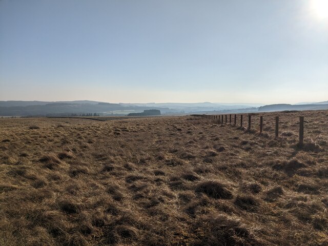
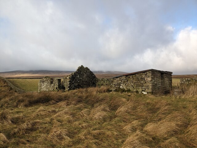
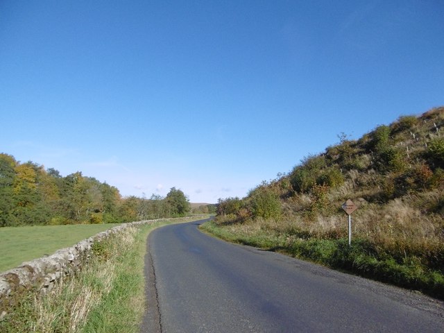
Cock Law, located in Roxburghshire, Scotland, is a prominent hill that stands at an elevation of approximately 305 meters (1,000 feet). Situated in the southern part of the country, Cock Law is part of the stunning Scottish Borders region, renowned for its picturesque landscapes and rich history.
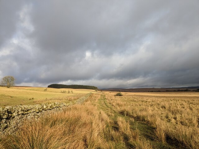
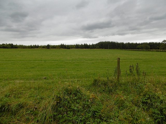
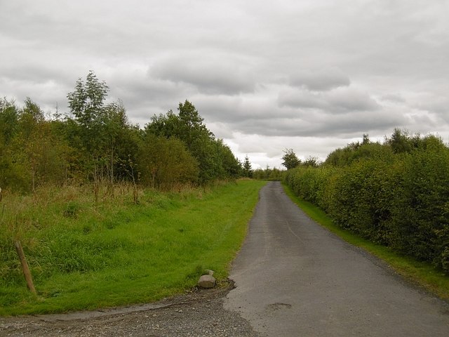
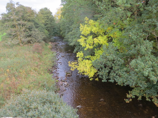
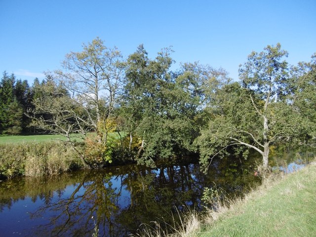
The hill offers breathtaking panoramic views of the surrounding areas, including the rolling hills, lush green fields, and the meandering River Tweed. Its strategic location provides visitors with an ideal vantage point to admire the beauty of the Scottish countryside.
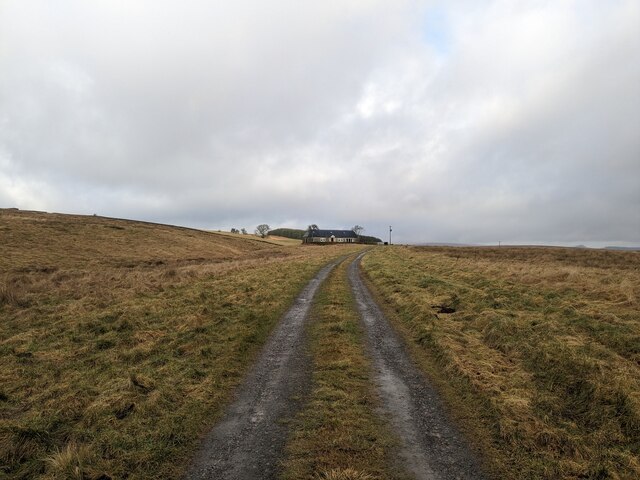
Cock Law is a popular destination for hikers and nature enthusiasts, offering various walking routes suitable for all levels of experience. The hill's well-maintained paths make it accessible to both casual strollers and more adventurous climbers. The ascent to the summit typically takes around 45 minutes to an hour, depending on the chosen route and individual fitness levels.
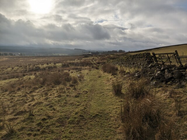
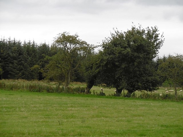
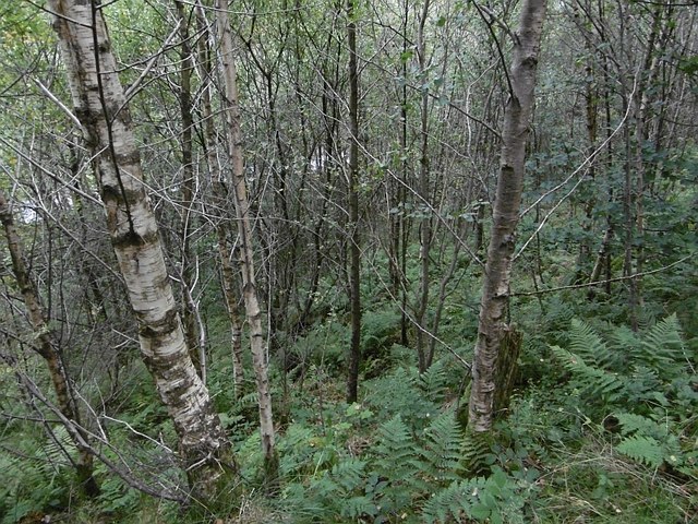
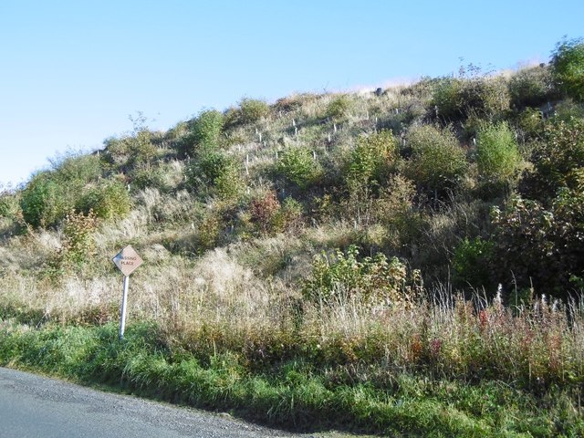
The hill is home to an abundance of flora and fauna, with heather-covered slopes and pockets of woodland. Visitors may come across a variety of bird species, such as red grouse and kestrels, as well as grazing sheep and deer.
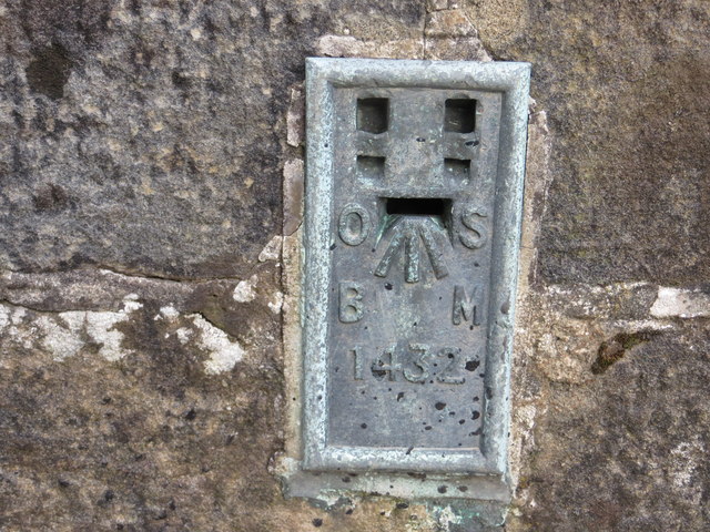
Cock Law's historical significance is also notable. It is believed to have served as a site for ancient settlements, and remnants of prehistoric structures and burial mounds have been discovered in the vicinity. These archaeological findings add an extra layer of intrigue and allure to the hill.
Overall, Cock Law in Roxburghshire offers visitors a chance to immerse themselves in the natural beauty of the Scottish Borders, providing a memorable experience for all who venture to its summit.
If you have any feedback on the listing, please let us know in the comments section below.
Cock Law Images
Images are sourced within 2km of 55.209558/-2.7761207 or Grid Reference NY5090. Thanks to Geograph Open Source API. All images are credited.


Cock Law is located at Grid Ref: NY5090 (Lat: 55.209558, Lng: -2.7761207)
Unitary Authority: The Scottish Borders
Police Authority: The Lothians and Scottish Borders
What 3 Words
///pickle.dreading.arching. Near Langholm, Dumfries & Galloway
Nearby Locations
Related Wikis

Liddel Castle
Liddel Castle is a ruined castle in Liddesdale, by the Liddel Water, near Castleton in the Scottish Borders area of Scotland, in the former county of Roxburghshire...

Dinlabyre
Dinlabyre is a village on the B6357 in Liddesdale, on the edge of the Newcastleton Forest, close to Castleton, in the Scottish Borders area of Scotland...
Steele Road railway station
Steele Road railway station served the hamlet of Steele Road, Scottish Borders, Scotland, from 1862 to 1969 on the Border Union Railway. == History... ==

Newcastleton railway station
Newcastleton railway station served the village of Newcastleton, Scottish Borders, Scotland from 1862 to 1969 on the Border Union Railway. == History... ==

Castleton, Scottish Borders
Castleton (Scottish Gaelic: Baile Chaisteil) is a civil parish in the Scottish Borders area of Scotland, in the former Roxburghshire, in the extreme south...
Newcastleton
Newcastleton, also called Copshaw Holm, is a village in Liddesdale, the Scottish Borders, a few miles from the border with England, on the Liddel Water...

Hermitage Water
The Hermitage Water is a river in Liddesdale, in the Scottish Borders area of Scotland. Among its many feeder burns are Braidley Burn, Dinley Burn, Gorrenberry...
Hermitage, Scottish Borders
Hermitage is a village near Newcastleton, on the B6399, in the Scottish Borders area of Scotland. == See also == List of places in the Scottish Borders...
Nearby Amenities
Located within 500m of 55.209558,-2.7761207Have you been to Cock Law?
Leave your review of Cock Law below (or comments, questions and feedback).