Chalice Hill
Hill, Mountain in Somerset Mendip
England
Chalice Hill
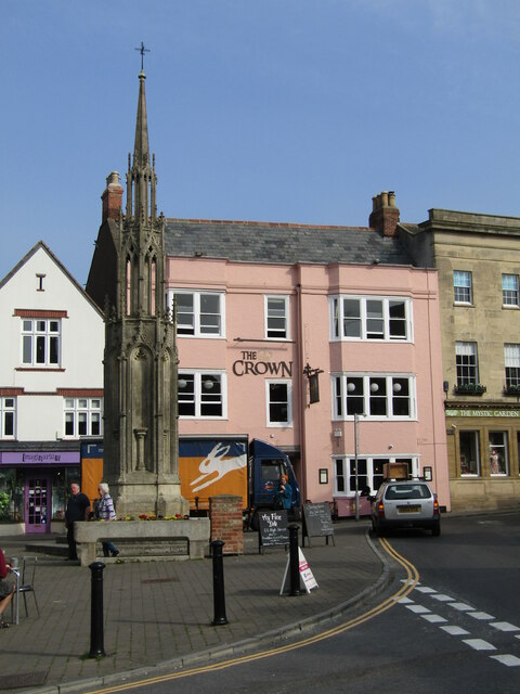
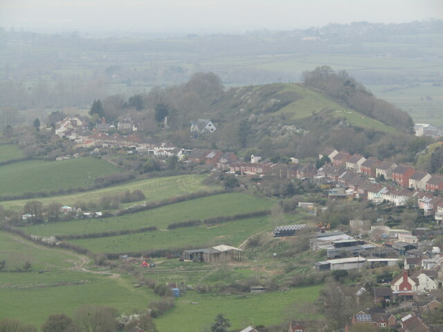
Chalice Hill is a notable landmark located in Glastonbury, Somerset, England. It is a small hill that forms part of the wider Glastonbury Tor complex, which includes the famous Glastonbury Tor. Chalice Hill sits to the south of the Tor and is connected to it by a path known as the "Dragon Path."
The hill is named after the legend that it is the resting place of the Holy Grail, the cup used by Jesus during the Last Supper. This legend has made Chalice Hill a site of spiritual significance and pilgrimage for many people. It is believed to have powerful energy and is associated with the feminine aspect of divinity.
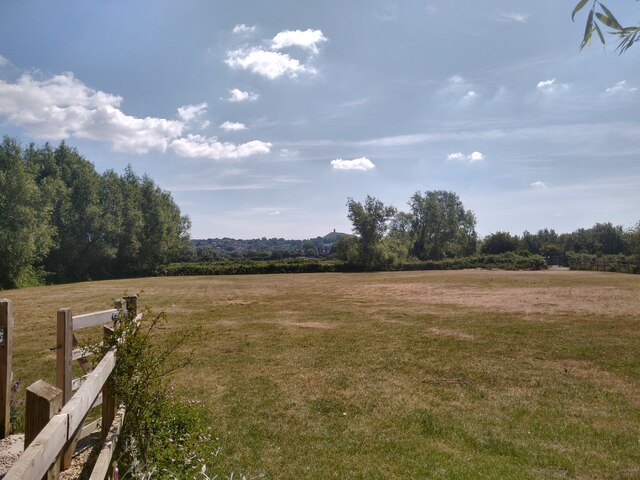
Chalice Hill is characterized by its lush greenery and ancient trees, creating a serene and peaceful atmosphere. The hill features several natural springs and wells, with the most famous being the Chalice Well. The Chalice Well is a holy well that has been revered for centuries for its healing properties and is often visited by those seeking spiritual solace.
The hill offers stunning panoramic views of the surrounding countryside, including the town of Glastonbury and the Somerset Levels. It is a popular spot for picnics and walks, attracting visitors from all over the world who come to experience its natural beauty and spiritual energy.
Chalice Hill is not only a place of historical and spiritual significance but also a site of great natural beauty, making it a must-visit destination for those exploring Somerset.
If you have any feedback on the listing, please let us know in the comments section below.
Chalice Hill Images
Images are sourced within 2km of 51.145515/-2.7067246 or Grid Reference ST5038. Thanks to Geograph Open Source API. All images are credited.


!["The Glastonbury Mural" [Detail] Artwork by The MOA Crew on Glastonbury&#039;s Northlode Street.
<span class="nowrap"><a title="www.glastonbury.gov.uk" rel="nofollow ugc noopener" href="http://www.glastonbury.gov.uk">Link</a><img style="margin-left:2px;" alt="External link" title="External link - shift click to open in new window" src="https://s1.geograph.org.uk/img/external.png" width="10" height="10"/></span>](https://s3.geograph.org.uk/geophotos/07/15/07/7150703_a4b225b9.jpg)


Chalice Hill is located at Grid Ref: ST5038 (Lat: 51.145515, Lng: -2.7067246)
Administrative County: Somerset
District: Mendip
Police Authority: Avon and Somerset
What 3 Words
///input.cocoons.sprinkler. Near Glastonbury, Somerset
Nearby Locations
Related Wikis
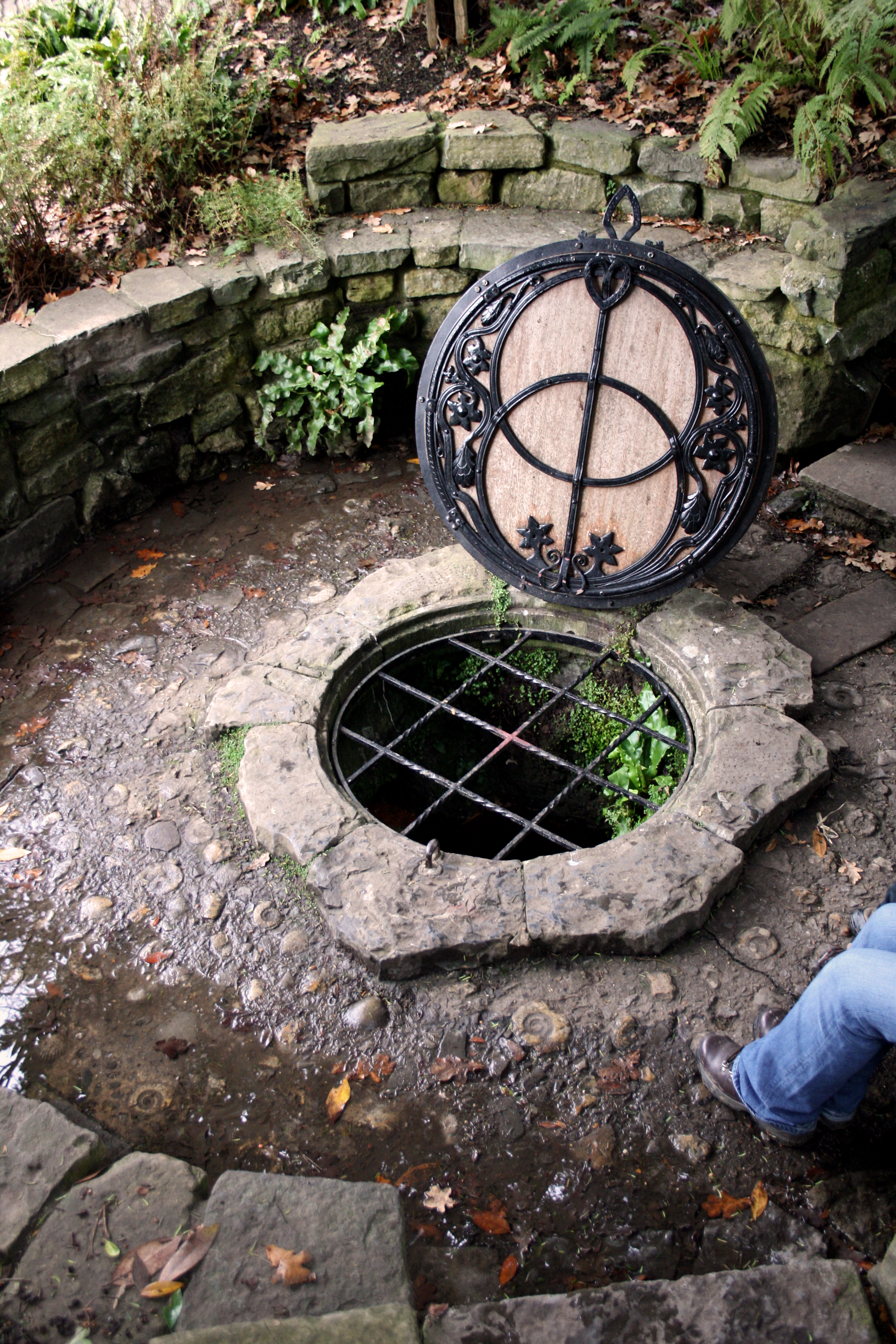
Chalice Well
The Chalice Well, also known as the Red Spring, is a well situated near the summit of Chalice Hill, a small hill next to Glastonbury Tor in Glastonbury...
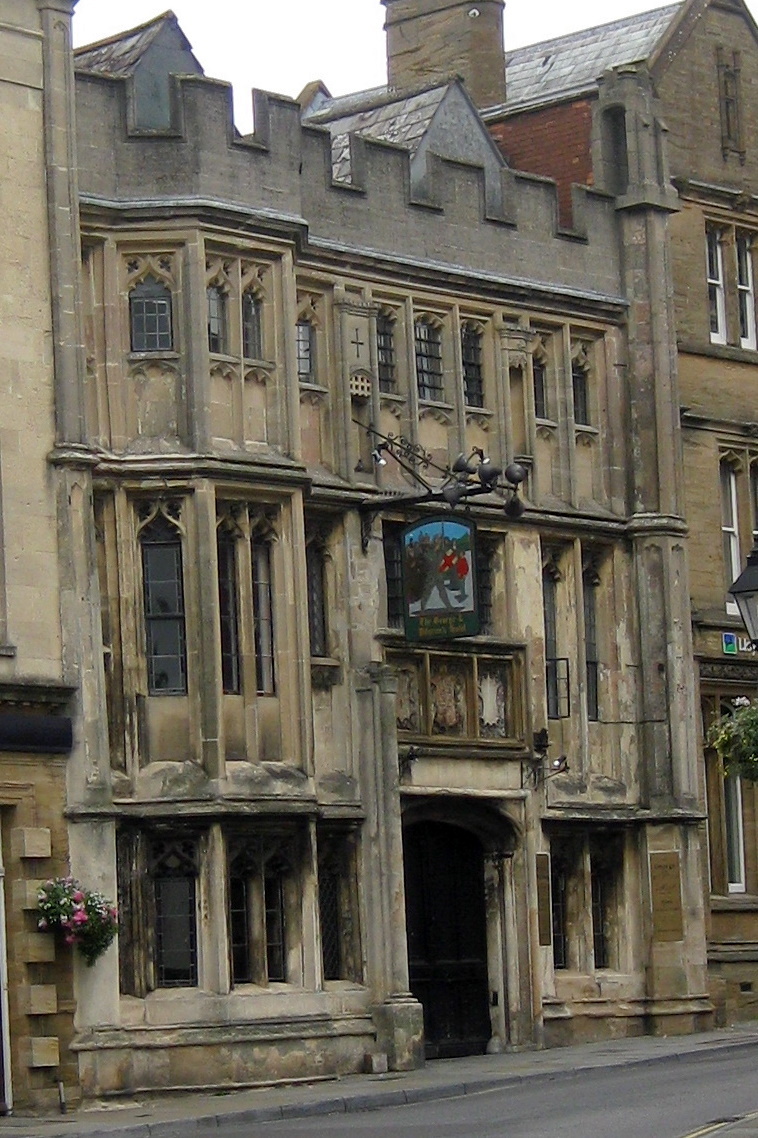
George Hotel and Pilgrims' Inn, Glastonbury
The George Hotel and Pilgrims' Inn in Glastonbury, Somerset, England, was built in the late 15th century to accommodate visitors to Glastonbury Abbey....

Glastonbury Extravaganza
Glastonbury Extravaganza (also known as Glastonbury Abbey Extravaganza and previously as Glastonbury Classical Extravaganza) is an annual music event held...
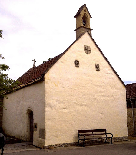
St. Patrick's Chapel, Glastonbury
St. Patrick's Chapel in Glastonbury, Somerset, England, is housed within the grounds of Glastonbury Abbey, and was completed in 1517. It is a site of pilgrimage...
Nearby Amenities
Located within 500m of 51.145515,-2.7067246Have you been to Chalice Hill?
Leave your review of Chalice Hill below (or comments, questions and feedback).