Barber's Moor
Settlement in Lancashire Chorley
England
Barber's Moor

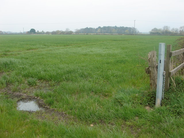
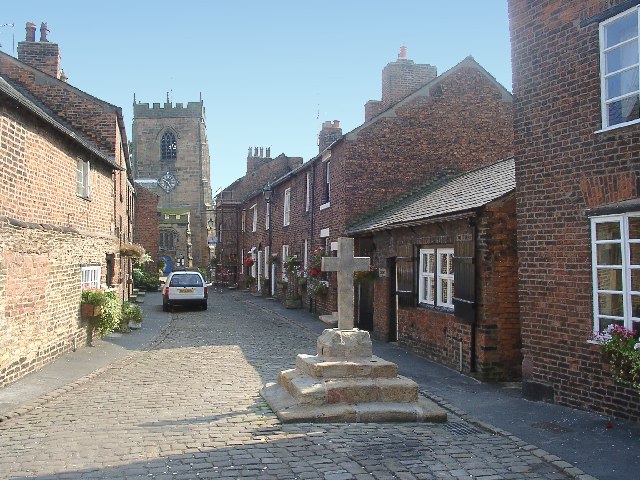
Barber's Moor is a small village located in the county of Lancashire, England. Situated in the northern part of the county, it falls within the borough of Ribble Valley. The village is nestled amidst picturesque countryside, surrounded by rolling hills and farmland.
With a population of around 500 residents, Barber's Moor maintains a close-knit community atmosphere. The village is predominantly residential, with a scattering of small businesses catering to the local population. The architecture reflects a mix of old and modern buildings, showcasing the area's historical roots while embracing contemporary designs.
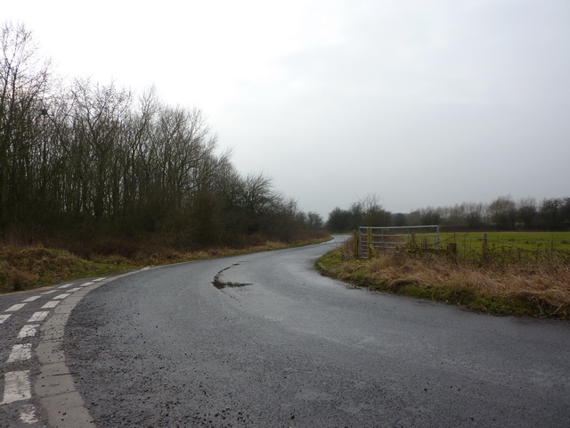
The village is well-connected to nearby towns and cities, with excellent transport links. It is conveniently positioned close to the A59 road, which provides easy access to major urban centers such as Preston and Blackburn. This accessibility makes Barber's Moor an appealing place to live for those seeking a peaceful rural lifestyle while remaining within reach of urban amenities.
Nature enthusiasts are drawn to Barber's Moor for its stunning natural beauty. The surrounding area offers a plethora of outdoor recreational activities, including scenic walks, cycling routes, and wildlife spotting. The village is also in proximity to the Forest of Bowland, an Area of Outstanding Natural Beauty renowned for its diverse landscape and abundant wildlife.
In conclusion, Barber's Moor is a charming village in Lancashire, offering a tranquil environment and a strong sense of community. Its idyllic location and accessibility make it an attractive choice for residents seeking a peaceful rural lifestyle amid beautiful natural surroundings.
If you have any feedback on the listing, please let us know in the comments section below.
Barber's Moor Images
Images are sourced within 2km of 53.669066/-2.766597 or Grid Reference SD4919. Thanks to Geograph Open Source API. All images are credited.


Barber's Moor is located at Grid Ref: SD4919 (Lat: 53.669066, Lng: -2.766597)
Administrative County: Lancashire
District: Chorley
Police Authority: Lancashire
What 3 Words
///flotation.ordeals.tinkle. Near Croston, Lancashire
Nearby Locations
Related Wikis
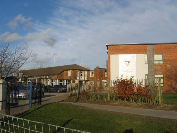
Bishop Rawstorne Church of England Academy
Bishop Rawstorne Church of England Academy (formerly Bishop Rawstorne CofE Language College) is a coeducational secondary school with academy status situated...
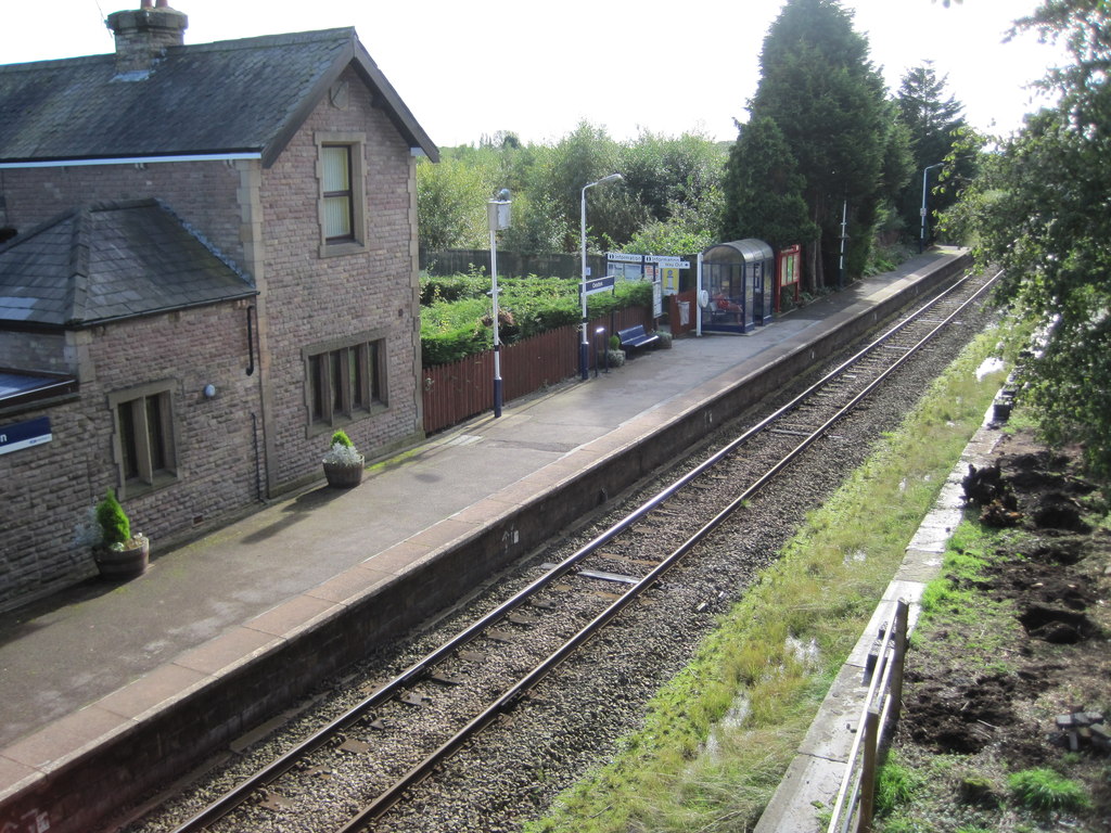
Croston railway station
Croston railway station serves the small village of Croston, near Chorley in Lancashire, England; the station is on the Ormskirk Branch Line 7 miles...
Croston
Croston is a village and civil parish near Chorley in Lancashire, England. The River Yarrow flows through the village. The population of the civil parish...

HM Prison Garth
HM Prison Garth is a Category B men's prison, located in the village of Ulnes Walton (near Leyland), in Lancashire, England. Garth is operated by His Majesty...

HM Prison Wymott
HM Prison Wymott is a Category C men's prison near Leyland, Lancashire, England. Wymott is operated by His Majesty's Prison Service, and is next to HMP...

River Lostock
The River Lostock is a river in Lancashire, England. The source of the Lostock is at the confluence of Slack Brook and Whave's Brook at the entrance to...

St John the Baptist's Church, Bretherton
St John the Baptist's Church is in the village of Bretherton, Lancashire, England. It is an active Anglican parish church in the deanery of Chorley, the...

Bretherton
Bretherton is a small village and civil parish in the Borough of Chorley, Lancashire, England, situated to the south west of Leyland and east of Tarleton...
Nearby Amenities
Located within 500m of 53.669066,-2.766597Have you been to Barber's Moor?
Leave your review of Barber's Moor below (or comments, questions and feedback).