Cappleside Hill
Hill, Mountain in Westmorland South Lakeland
England
Cappleside Hill

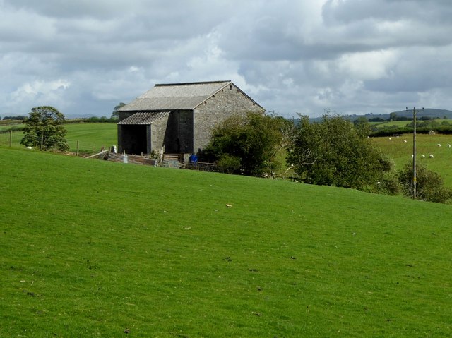
Cappleside Hill is a prominent hill located in the county of Westmorland, in the northwestern region of England. Situated within the picturesque Lake District National Park, it is part of the larger Pennine range. The hill boasts an elevation of approximately 1,500 feet, making it a notable feature of the surrounding landscape.
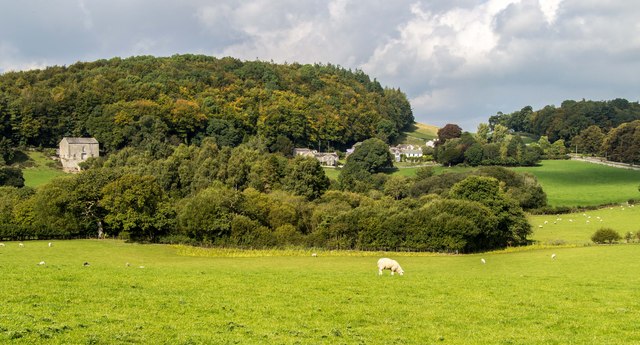
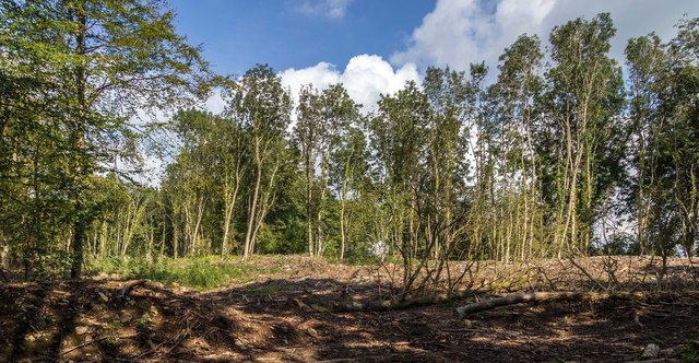
Cappleside Hill is characterized by its distinctive shape, with a gently sloping ascent and a rounded summit. The hill is predominantly covered in lush green vegetation, comprising a mix of grasses, heather, and scattered trees. This natural cover provides a habitat for various species of wildlife, including birds, mammals, and insects.
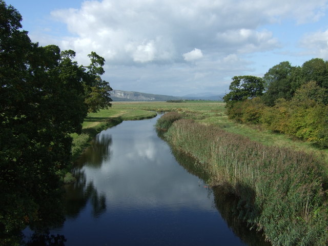
The hill offers breathtaking panoramic views of the surrounding countryside, including neighboring hills, valleys, and lakes. On a clear day, visitors can marvel at the stunning vistas of Lake Windermere and the rolling hills of the Lake District. The scenic beauty and tranquility of Cappleside Hill make it a popular destination for hikers, nature enthusiasts, and photographers.
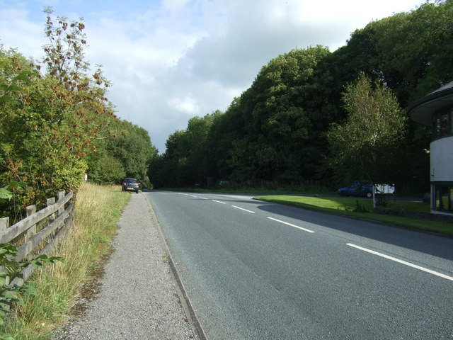
Access to Cappleside Hill is relatively straightforward, with well-marked footpaths leading to the summit from nearby villages and towns. The hill's location within the Lake District National Park ensures that it is well-maintained and protected for the enjoyment of visitors.
Overall, Cappleside Hill's combination of natural beauty, accessibility, and captivating views make it a must-visit destination for those seeking a true taste of Westmorland's scenic splendor.
If you have any feedback on the listing, please let us know in the comments section below.
Cappleside Hill Images
Images are sourced within 2km of 54.214799/-2.7683557 or Grid Reference SD4980. Thanks to Geograph Open Source API. All images are credited.


Cappleside Hill is located at Grid Ref: SD4980 (Lat: 54.214799, Lng: -2.7683557)
Administrative County: Cumbria
District: South Lakeland
Police Authority: Cumbria
What 3 Words
///gravitate.imply.shout. Near Milnthorpe, Cumbria
Nearby Locations
Related Wikis
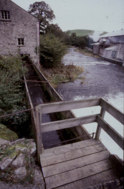
Heron Corn Mill
The Heron Corn Mill is a working 18th-century water mill on the River Bela at Beetham, Cumbria, England. The mill and its mill race are Grade II* listed...

St Michael's Church, Beetham
St Michael's Church is in the village of Beetham, Cumbria, England. It is an active Anglican parish church in the deanery of Kendal, the archdeaconry of...
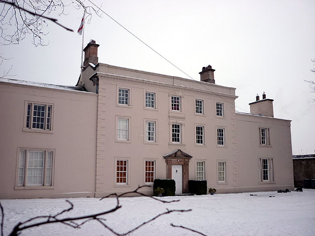
Ashton House, Cumbria
Ashton House is a large country house in Beetham in Cumbria. It is a Grade II* listed building. == History == The house was built in 1678 probably for...

Beetham
Beetham is a village and civil parish in the South Lakeland district, in Cumbria, England, situated on the border with Lancashire, 6 miles (10 km) north...
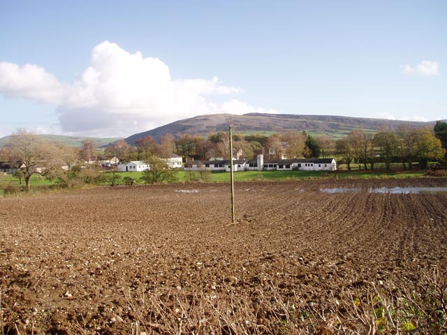
Whasset
Whasset or Whassett is a hamlet near Milnthorpe in South Lakeland, Cumbria, England. It is in the historic county of Westmorland. It is in the parish of...
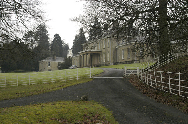
Dallam Tower
Dallam Tower is a grade I listed country house in Beetham parish, near Milnthorpe, South Lakeland, Cumbria, England. It is a member of the Historic Houses...

St Thomas' Church, Milnthorpe
St Thomas' Church is in the village of Milnthorpe, Cumbria, England. It is an active Anglican parish church in the deanery of Kendal, the archdeaconry...

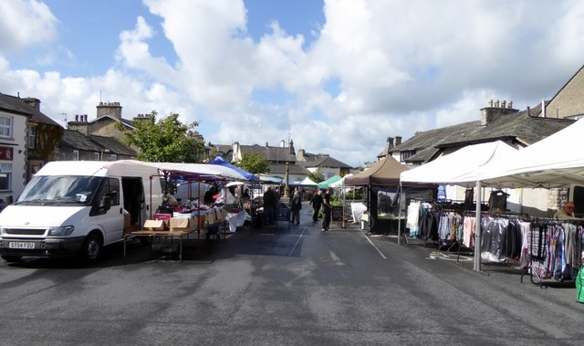
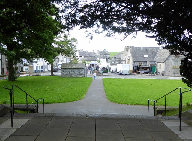
Milnthorpe
Milnthorpe is a village, civil parish, and former market town in Westmorland and Furness, Cumbria, England. It is 7 miles (11 km) south of Kendal. Historically...
Nearby Amenities
Located within 500m of 54.214799,-2.7683557Have you been to Cappleside Hill?
Leave your review of Cappleside Hill below (or comments, questions and feedback).