Ashland Hill
Hill, Mountain in Somerset South Somerset
England
Ashland Hill
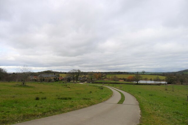
Ashland Hill is a prominent hill located in Somerset County, in the southwestern part of England. It is situated within the beautiful region of the Mendip Hills, which is renowned for its stunning natural landscapes and rich history. Standing at an elevation of approximately 314 meters (1,030 feet), Ashland Hill offers breathtaking panoramic views of the surrounding countryside, making it a popular destination for locals and tourists alike.
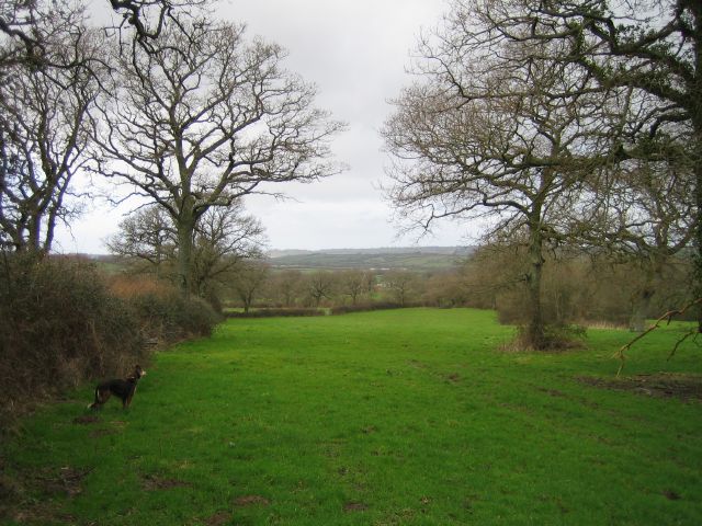
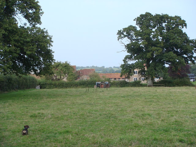
The hill is covered in lush green vegetation, with a diverse range of flora and fauna thriving in its slopes. It is home to various species of birds, mammals, and insects, making it an ideal spot for nature enthusiasts and bird watchers. Ashland Hill also features several well-marked hiking trails, allowing visitors to explore its scenic beauty and enjoy the tranquility of the countryside.
Aside from its natural beauty, Ashland Hill also holds historical significance. It is believed to have been inhabited since prehistoric times, with evidence of ancient settlements and burial mounds found in the area. Archaeological excavations have revealed artifacts and structures dating back thousands of years, shedding light on the region's past civilizations.
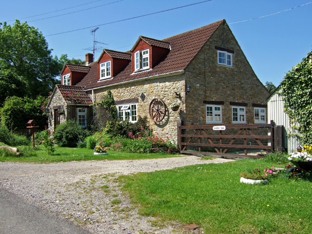
Access to Ashland Hill is relatively easy, with a network of roads and footpaths connecting it to nearby towns and villages. The hill is also located within close proximity to other popular tourist attractions, such as Cheddar Gorge and Wookey Hole Caves, making it a convenient stop for those exploring the Mendip Hills region.
Overall, Ashland Hill in Somerset offers a combination of natural beauty, historical significance, and recreational opportunities, making it a must-visit destination for nature lovers and history enthusiasts alike.
If you have any feedback on the listing, please let us know in the comments section below.
Ashland Hill Images
Images are sourced within 2km of 50.871076/-2.7128256 or Grid Reference ST4908. Thanks to Geograph Open Source API. All images are credited.


Ashland Hill is located at Grid Ref: ST4908 (Lat: 50.871076, Lng: -2.7128256)
Administrative County: Somerset
District: South Somerset
Police Authority: Avon and Somerset
What 3 Words
///spring.ship.flickers. Near West Coker, Somerset
Related Wikis
Whitevine Meadows
Whitevine Meadows (grid reference ST505085) is a 13.0 hectare (32.0 acre) biological Site of Special Scientific Interest east of North and South Perrott...
Grove Farm, Somerset
Grove Farm (grid reference ST513096) is a 36.5 hectare (90.2 acre) biological Site of Special Scientific Interest in Somerset, notified in 1989. This site...
North Perrott
North Perrott is a village and civil parish in south Somerset, England, near the border with Dorset. == History == The name Perrott comes from the River...

Chedington
Chedington is a small village and civil parish in west Dorset, England, situated near the A356 road 4 miles (6.4 km) southeast of Crewkerne in Somerset...
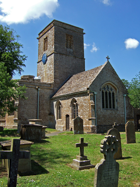
Church of St Martin, North Perrott
The Church of St Martin in North Perrott, Somerset, England, dates from the 12th century and has been designated as a Grade I listed building.The current...

South Perrott
South Perrott is a village and civil parish in northwest Dorset, England, 2 miles (3.2 km) southeast of Crewkerne. In 2012 the estimated population of...

Church of St Roch, Pendomer
The Anglican Church of St Roch at Pendomer in Closworth, Somerset, England was built in the 14th century. It is a Grade II* listed building. == History... ==

North Perrott Cricket Club Ground
North Perrott Cricket Club Ground is a former List A cricket ground located in North Perrott, Somerset. It hosted a single Cheltenham & Gloucester Trophy...
Nearby Amenities
Located within 500m of 50.871076,-2.7128256Have you been to Ashland Hill?
Leave your review of Ashland Hill below (or comments, questions and feedback).