Bell Hill
Hill, Mountain in Roxburghshire
Scotland
Bell Hill
Bell Hill is a prominent hill located in the county of Roxburghshire, Scotland. Standing at an elevation of 340 meters (1,115 feet), it is a notable landmark in the surrounding area. The hill is situated near the village of Morebattle, about 12 kilometers (7.5 miles) south of the town of Kelso.
Bell Hill is characterized by its distinctive conical shape, covered in lush greenery. Its slopes are primarily comprised of grass and heather, creating a picturesque landscape that attracts hikers, nature enthusiasts, and photographers. The hill offers panoramic views of the surrounding countryside, including the Cheviot Hills to the south and the Eildon Hills to the north.
The summit of Bell Hill is marked by a trig point, providing a reference point for map navigation and surveying. The hill is accessible via a network of footpaths and tracks, making it a popular destination for outdoor activities such as walking and running. Additionally, the area is known for its rich biodiversity, with various bird species and wildlife inhabiting the hill and its surroundings.
Bell Hill holds historical significance as well. It is believed to have been an important landmark during ancient times, serving as a beacon or signaling point. Due to its strategic location, the hill also played a role in military activities throughout history, particularly during conflicts such as the Anglo-Scottish Wars.
Overall, Bell Hill in Roxburghshire is a visually striking and historically significant natural feature, providing visitors with breathtaking views and opportunities to explore the picturesque Scottish countryside.
If you have any feedback on the listing, please let us know in the comments section below.
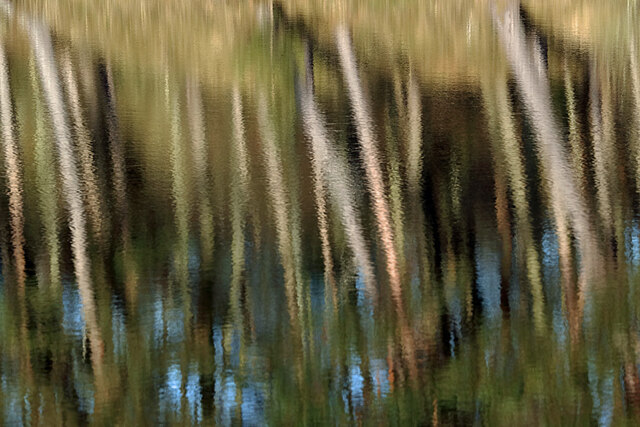
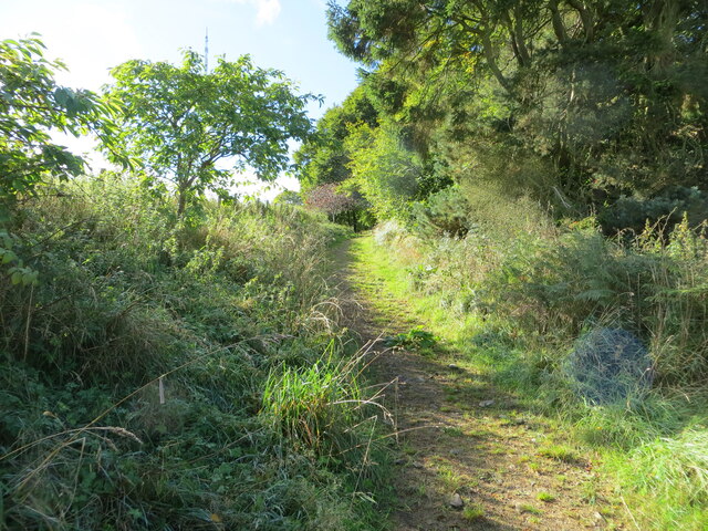
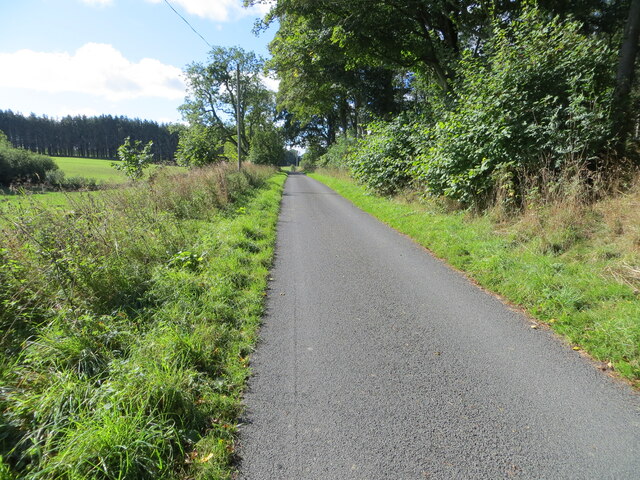
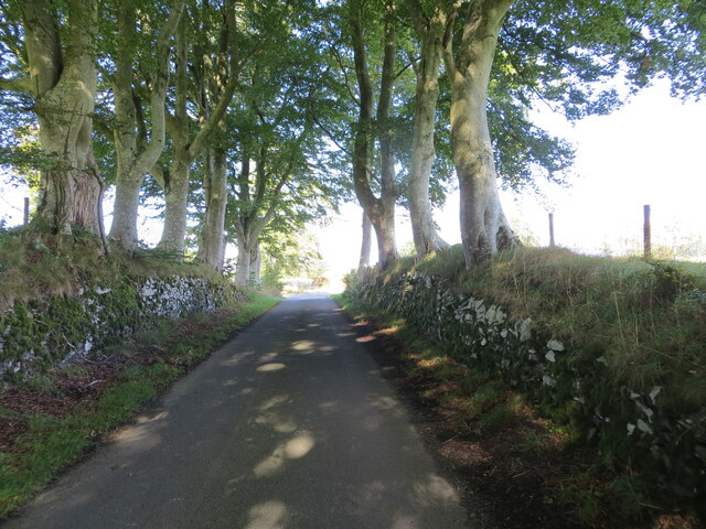
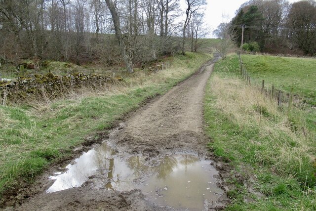
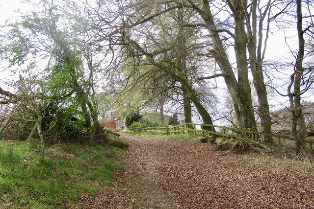
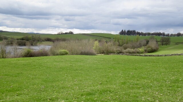
Bell Hill Images
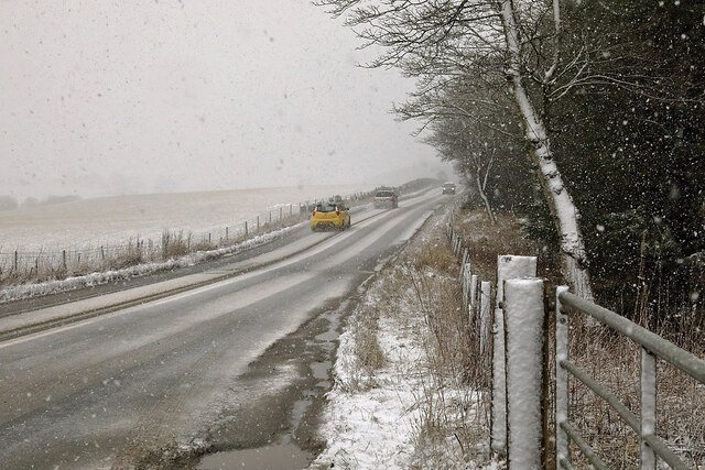
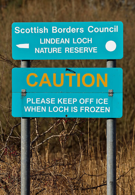
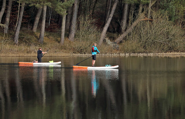
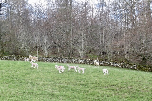
Images are sourced within 2km of 55.548976/-2.8035921 or Grid Reference NT4928. Thanks to Geograph Open Source API. All images are credited.
Bell Hill is located at Grid Ref: NT4928 (Lat: 55.548976, Lng: -2.8035921)
Unitary Authority: The Scottish Borders
Police Authority: The Lothians and Scottish Borders
What 3 Words
///interacts.scar.replayed. Near Selkirk, Scottish Borders
Nearby Locations
Related Wikis

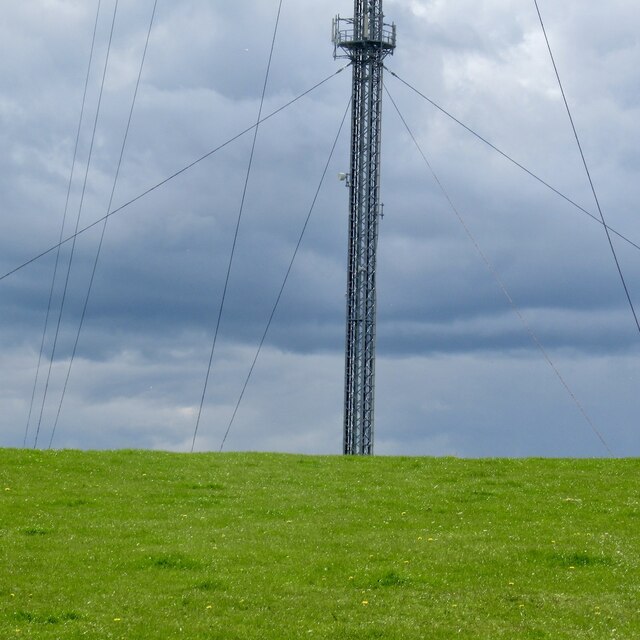
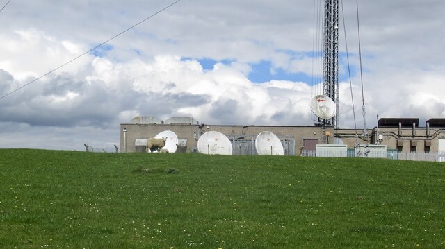
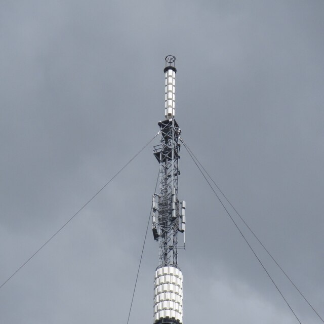
Selkirk transmitting station
The Selkirk transmitting station is a telecommunications facility located next to Lindean Loch, near Selkirk in the Scottish Borders. It includes a 229...
Bridgelands
Bridgelands is a village and an 18th-century house in the Scottish Borders area of Scotland, in the parish of Selkirk. Sir Henry Raeburn's wife came from...
Selkirk High School
Selkirk High School is a high school in Selkirk, Scotland, which serves the town and its surrounding area including the Ettrick and Yarrow valleys and...

Lindean
Lindean is a village north of Selkirk and the Ettrick Water, in the Scottish Borders area of Scotland. In 1590 the parishioners of Lindean had permission...
Nearby Amenities
Located within 500m of 55.548976,-2.8035921Have you been to Bell Hill?
Leave your review of Bell Hill below (or comments, questions and feedback).