Backwell Hill
Hill, Mountain in Somerset
England
Backwell Hill
Backwell Hill is a prominent geographical feature located in the county of Somerset, England. Standing at an elevation of approximately 107 meters (351 feet), it is classified as a hill rather than a mountain due to its relatively modest height. The hill is situated in the village of Backwell, which lies about 11 kilometers (7 miles) southwest of Bristol.
Backwell Hill is characterized by its gently sloping terrain, covered with lush green grass and scattered with a variety of trees. It offers picturesque views of the surrounding countryside, including the Bristol Channel to the west and the Mendip Hills to the south. The hill is a popular spot for outdoor enthusiasts, who enjoy walking, hiking, and cycling along its well-maintained paths.
At the summit of Backwell Hill, there is a trig point that marks the highest point of the hill. This serves as a reference point for surveying and map making. Visitors can also find a small stone bench, allowing them to rest and take in the stunning panoramic vistas.
In addition to its natural beauty, Backwell Hill is home to several species of wildlife, including various birds, insects, and small mammals. The area is known for its biodiversity, with an array of plant species thriving on the hillside.
Overall, Backwell Hill offers a tranquil escape from urban life, providing a peaceful environment for relaxation and outdoor activities.
If you have any feedback on the listing, please let us know in the comments section below.
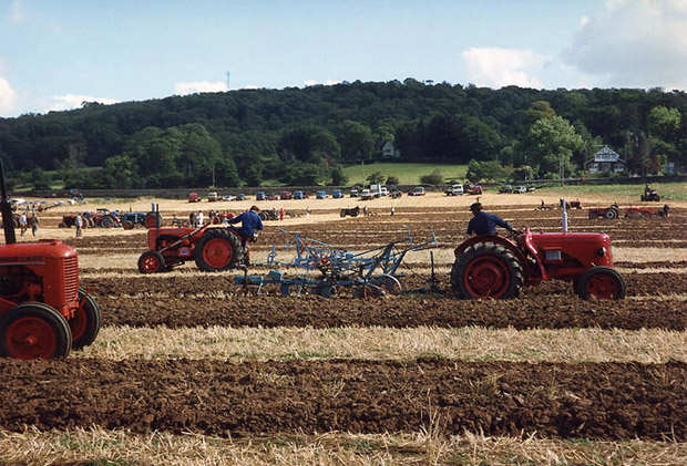
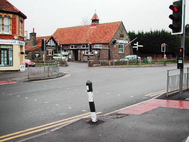
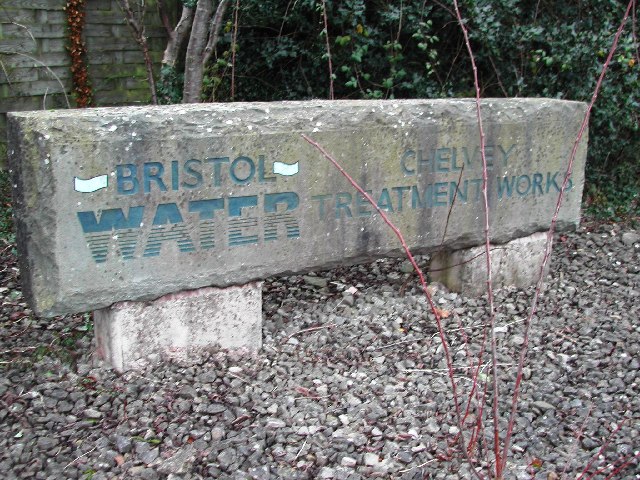
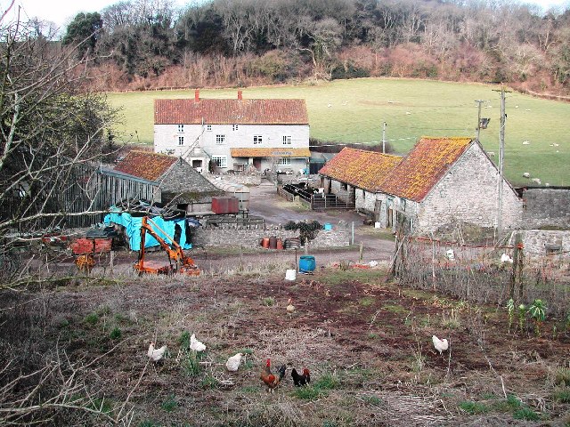
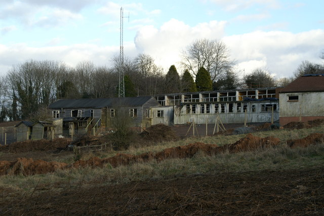
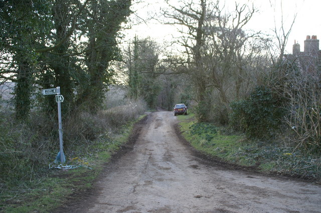
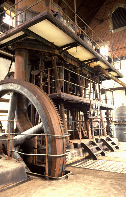
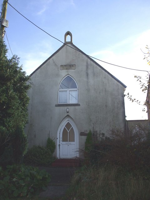
Backwell Hill Images
Images are sourced within 2km of 51.405687/-2.7304254 or Grid Reference ST4967. Thanks to Geograph Open Source API. All images are credited.


Backwell Hill is located at Grid Ref: ST4967 (Lat: 51.405687, Lng: -2.7304254)
Unitary Authority: North Somerset
Police Authority: Avon and Somerset
What 3 Words
///pictures.caressing.struck. Near Brockley, Somerset
Nearby Locations
Related Wikis

St Andrew's Church, Backwell
St Andrew's Church is an Anglican church in Backwell, Somerset, England. The church building dates back to the 13thcentury, when the nave, aisles and the...

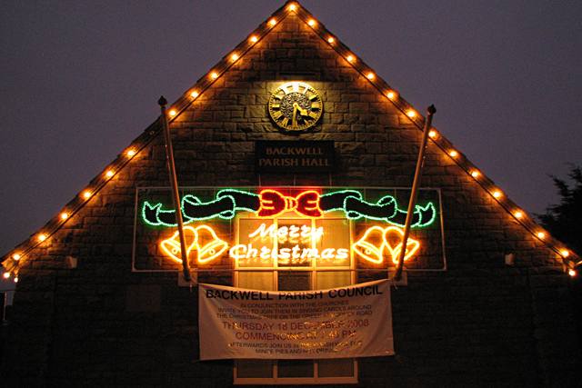
Backwell
Backwell is a village and civil parish in the unitary authority of North Somerset and in 2011 had a population of 4,589. The village lies about 7 miles...
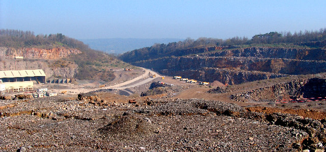
Stancombe Quarry
Stancombe Quarry is a quarry at Flax Bourton near Backwell in the North Somerset district of Somerset, England. The quarry which is operated by Tarmac...

Ashton & Backwell United F.C.
Ashton & Backwell United Football Club is a football club based in Backwell, Somerset, England. Affiliated to the Somerset FA, they are currently members...
Backwell School
Backwell School is a secondary academy school in Backwell, Bristol, Somerset, England. It was considered to be one of the best-performing state schools...
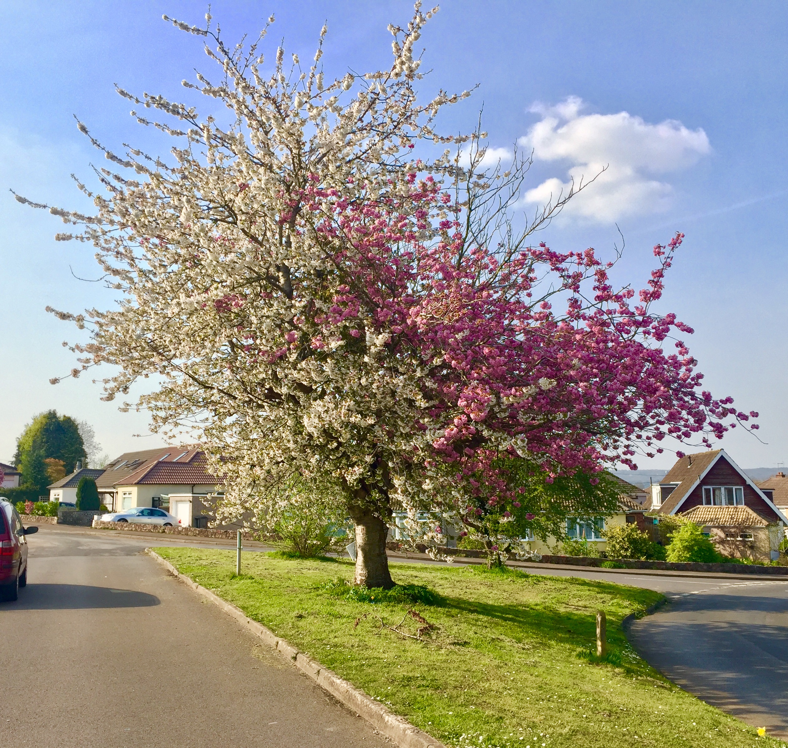
Strawberries and Cream Tree
The Strawberries and Cream Tree is a graft hybrid cherry tree (of Prunus avium and P. serrulata 'Kanzan') in Backwell, North Somerset, England. Planted...
Taps Combe Camp
Taps Combe Camp (also known as Chelvey Batch Settlement) is an Iron Age hill fort in North Somerset, England. The hill fort is situated approximately 1...

Woodspring (UK Parliament constituency)
Woodspring was a constituency represented in the House of Commons of the Parliament of the United Kingdom from 1983 until 2010. It elected one Member of...
Nearby Amenities
Located within 500m of 51.405687,-2.7304254Have you been to Backwell Hill?
Leave your review of Backwell Hill below (or comments, questions and feedback).