Bossy Hillocks

Hill, Mountain in Banffshire

Scotland

Bossy Hillocks

Turbine in the Forest Long before I rounded a bend and saw it, I could hear the rhythmic sound of the wind turbine at Loanhead.
Turbine in the Forest Credit: Anne Burgess

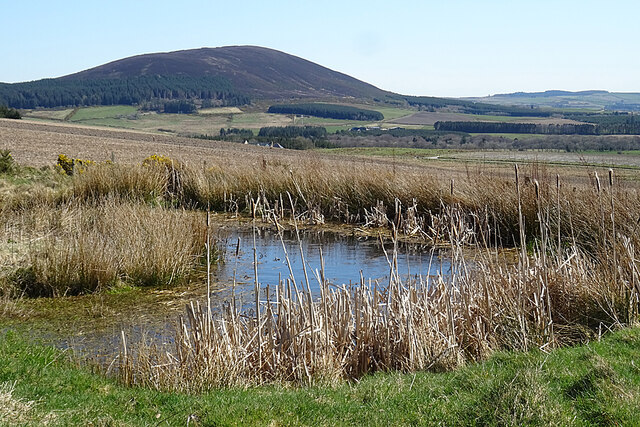
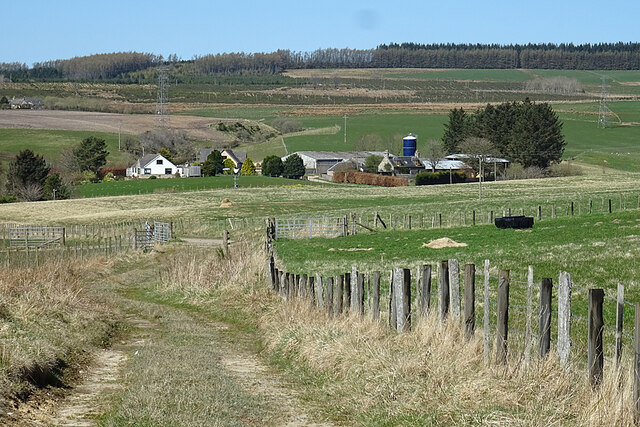
Bossy Hillocks is a small hill located in Banffshire, Scotland. It is known for its distinctive rounded shape and is surrounded by lush greenery and rolling fields. The hill is part of the stunning Scottish countryside and offers breathtaking views of the surrounding area.

Bossy Hillocks stands at an elevation of approximately 300 meters above sea level, making it a popular destination for hikers and outdoor enthusiasts looking to explore the natural beauty of Banffshire. The hill is relatively easy to climb, with well-marked paths and gentle slopes, making it suitable for hikers of all skill levels.

The summit of Bossy Hillocks offers panoramic views of the surrounding countryside, including the nearby towns and villages of Banffshire. On a clear day, visitors can see for miles around, taking in the stunning landscapes and rugged coastline that make this region so unique.

Overall, Bossy Hillocks is a peaceful and picturesque spot in Banffshire, perfect for a leisurely hike or a quiet moment of reflection in the midst of nature's beauty.

If you have any feedback on the listing, please let us know in the comments section below.

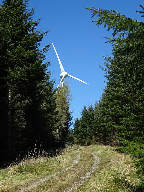
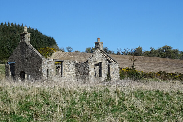
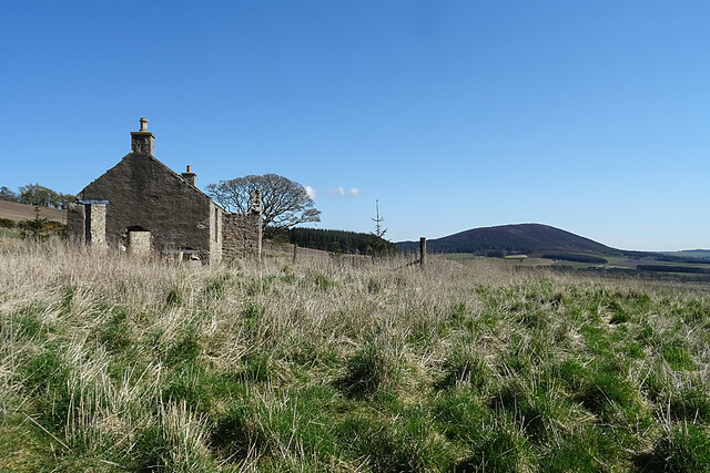
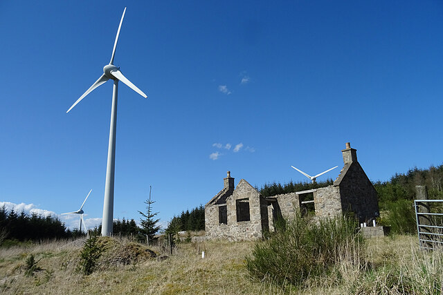
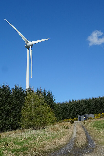
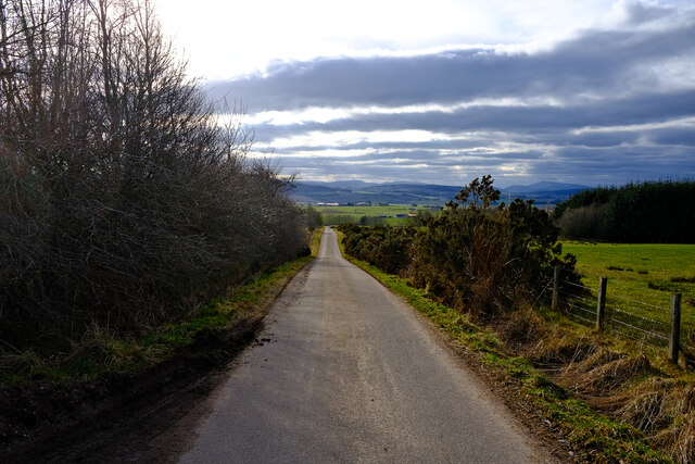
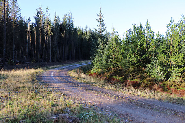
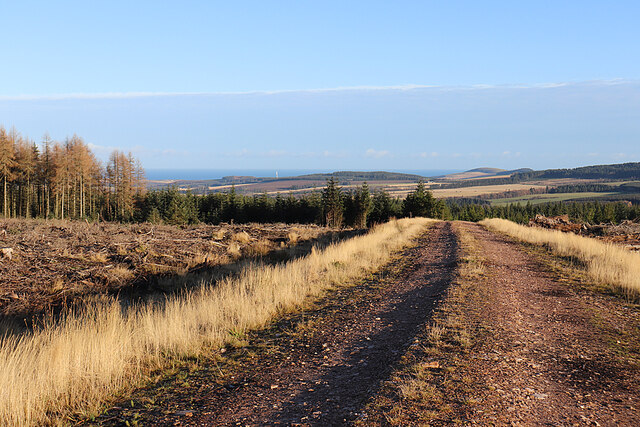
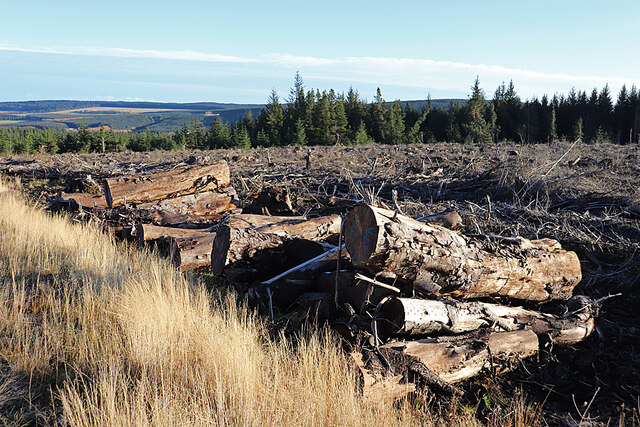
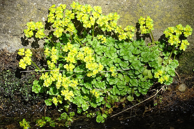
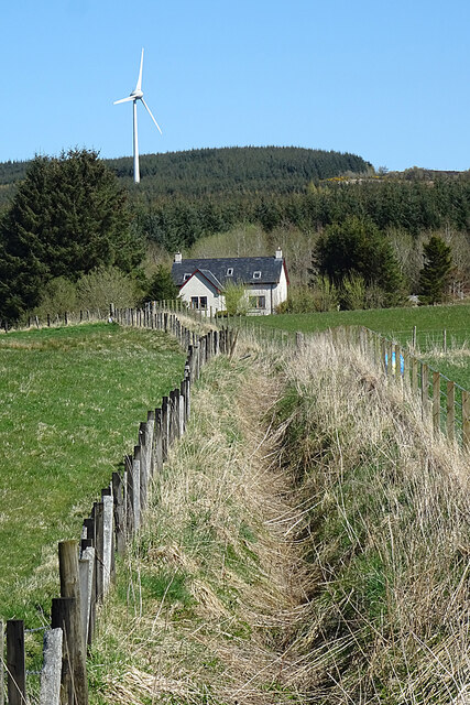
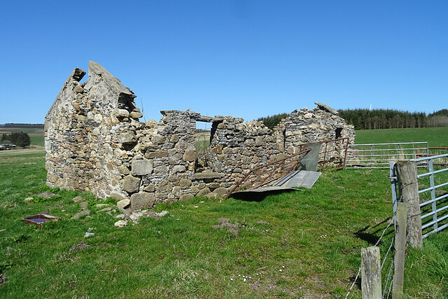
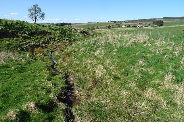
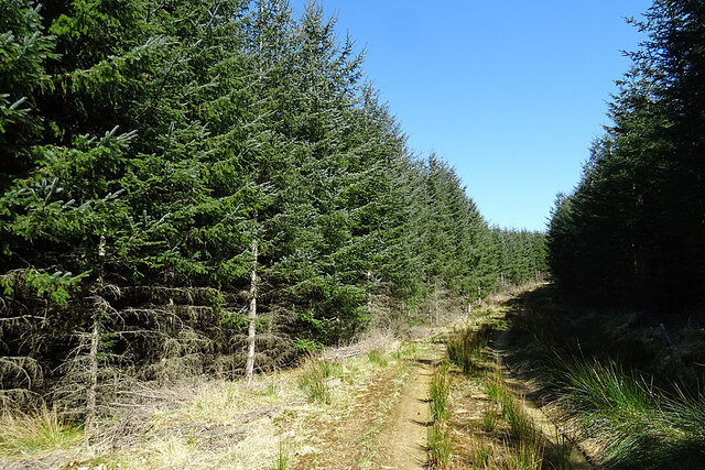
Bossy Hillocks Images

Images are sourced within 2km of 57.603338/-2.8565468 or Grid Reference NJ4857. Thanks to Geograph Open Source API. All images are credited.

Turbine in the Forest Long before I rounded a bend and saw it, I could hear the rhythmic sound of the wind turbine at Loanhead.
Turbine in the Forest
Long before I rounded a bend and saw it, I could hear the rhythmic sound of the wind turbine at Loanhead.
Loanhead of Myrietown This is exactly the sort of place I would have liked to live in when I was younger. Sheltered by a hill and forest to the north and east, with an open aspect to the south-west and a good view. No problems with noisy neighbours or passers-by dropping litter, but a long way from any shops, and very difficult to get to in a snowy winter. But it now sits almost underneath a wind turbine so I don't suppose anyone would want it now.
Loanhead of Myrietown
This is exactly the sort of place I would have liked to live in when I was younger. Sheltered by a hill and forest to the north and east, with an open aspect to the south-west and a good view. No problems with noisy neighbours or passers-by dropping litter, but a long way from any shops, and very difficult to get to in a snowy winter. But it now sits almost underneath a wind turbine so I don't suppose anyone would want it now.
Loanhead of Myrietown This is exactly the sort of place I would have liked to live in when I was younger. Sheltered by a hill and forest to the north and east, with an open aspect to the south-west and a good view. No problems with noisy neighbours or passers-by dropping litter, but a long way from any shops, and very difficult to get to in a snowy winter. But it now sits almost underneath a wind turbine so I don't suppose anyone would want it now. The distant hill is Knock Hill.
Loanhead of Myrietown
This is exactly the sort of place I would have liked to live in when I was younger. Sheltered by a hill and forest to the north and east, with an open aspect to the south-west and a good view. No problems with noisy neighbours or passers-by dropping litter, but a long way from any shops, and very difficult to get to in a snowy winter. But it now sits almost underneath a wind turbine so I don't suppose anyone would want it now. The distant hill is Knock Hill.
Loanhead of Myrietown This is exactly the sort of place I would have liked to live in when I was younger. Sheltered by a hill and forest to the north and east, with an open aspect to the south-west and a good view. No problems with noisy neighbours or passers-by dropping litter, but a long way from any shops, and very difficult to get to in a snowy winter. But it now sits almost underneath a wind turbine so I don't suppose anyone would want it now.
Loanhead of Myrietown
This is exactly the sort of place I would have liked to live in when I was younger. Sheltered by a hill and forest to the north and east, with an open aspect to the south-west and a good view. No problems with noisy neighbours or passers-by dropping litter, but a long way from any shops, and very difficult to get to in a snowy winter. But it now sits almost underneath a wind turbine so I don't suppose anyone would want it now.
Pond with a View In the foreground is a small artificial pond, and beyond it is the fine view to Knock Hill that was enjoyed by the occupants of Loanhead of Myriehill before it was allowed to fall into ruin.
Pond with a View
In the foreground is a small artificial pond, and beyond it is the fine view to Knock Hill that was enjoyed by the occupants of Loanhead of Myriehill before it was allowed to fall into ruin.
Turbine 1 This turbine is designated No 1 in the Myretown and Lurg Hill wind farm, although it doesn't appear to be the first one erected there.
Turbine 1
This turbine is designated No 1 in the Myretown and Lurg Hill wind farm, although it doesn't appear to be the first one erected there.
Downhill Road Heading down hill on a quite backroad
Downhill Road
Heading down hill on a quite backroad
Forest Road The forest road round Old Fir Hill is slippery with frost the shade of the trees.
Forest Road
The forest road round Old Fir Hill is slippery with frost the shade of the trees.
Aultmorehill The road across a felled area on Aultmorehill enjoys a fine view down towards the sea. The rounded hill on the right is Durn Hill near Portsoy.
Aultmorehill
The road across a felled area on Aultmorehill enjoys a fine view down towards the sea. The rounded hill on the right is Durn Hill near Portsoy.
Large Logs Large they may be, but I suspect the reason they are still here is because they are too thick, too short, too knotty and not straight enough to appeal to a sawmill.
Large Logs
Large they may be, but I suspect the reason they are still here is because they are too thick, too short, too knotty and not straight enough to appeal to a sawmill.
Alternater-leaved Golden Saxifrage (Chrysosplenium alternifolium) This is a plant of damp places, in this case on the dyke beside the bridge over a nameless tributary of the Bowie Burn.
Alternater-leaved Golden Saxifrage (Chrysosplenium alternifolium)
This is a plant of damp places, in this case on the dyke beside the bridge over a nameless tributary of the Bowie Burn.
Upper Burnend The ditch is part of a complex of ditches that eventually become part of the Bowie Burn. The new house at Upper Burnend isn't yet on the maps.
Upper Burnend
The ditch is part of a complex of ditches that eventually become part of the Bowie Burn. The new house at Upper Burnend isn't yet on the maps.
Field Access The track flanked by fences on both sides just leads into a field which is behind me. The farm buildings are at Goukstone, and Black Hill is on the skyline.
Field Access
The track flanked by fences on both sides just leads into a field which is behind me. The farm buildings are at Goukstone, and Black Hill is on the skyline.
Ruin at Burnend Evidently the remains of a house, this is marked on the 19th century maps but not named. It has deteriorated significantly in the 16 years since <a href="https://www.geograph.org.uk/photo/238462">NJ4955 : The  derelict cottage of Burnend.</a> was taken.
Ruin at Burnend
Evidently the remains of a house, this is marked on the 19th century maps but not named. It has deteriorated significantly in the 16 years since NJ4955 : The derelict cottage of Burnend. was taken.
Mill Lade This is shown on the 19th century maps as a mill lade, presumably powering a mill at Burnend, though no mill is actually named. The farm buildings are at Goukstone.
Mill Lade
This is shown on the 19th century maps as a mill lade, presumably powering a mill at Burnend, though no mill is actually named. The farm buildings are at Goukstone.
Forest Track Rising gently through the plantation at Myretown towards Lurg Hill.
Forest Track
Rising gently through the plantation at Myretown towards Lurg Hill.
Pond at Drum Toul The pond, although shown on the large scale maps, isn't (yet) in the satellite view, so I think it must be quite new.
Pond at Drum Toul
The pond, although shown on the large scale maps, isn't (yet) in the satellite view, so I think it must be quite new.
Turbines on Lurg Hill I'm not sure if all these turbines are formally part of the Myretown and Lurg Hill wind farm, or whether the nearest one is on another piece of land. The pond is relatively new, not yet being featured on the satellite view.
Turbines on Lurg Hill
I'm not sure if all these turbines are formally part of the Myretown and Lurg Hill wind farm, or whether the nearest one is on another piece of land. The pond is relatively new, not yet being featured on the satellite view.
Show me another place!

Bossy Hillocks is located at Grid Ref: NJ4857 (Lat: 57.603338, Lng: -2.8565468)

Unitary Authority: Moray

Police Authority: North East

What 3 Words

///plays.flamenco.disco. Near Keith, Moray

Nearby Locations

Bossy Hillocks

Related Wikis

Foudland Hills

The Foudland Hills is a mountain range in the northeast of Aberdeenshire, Scotland and northwest of Morayshire. The Foudland Hills are a prominent feature...

Deskford Tower

Tower of Deskford was a 14th-century tower house, about 3.5 miles (5.6 km) south of Cullen, Moray, Scotland at Deskford, west of the burn. The tower and...

Deskford

Deskford (Scottish Gaelic: Deasgard) is a parish and a small settlement in Moray, Scotland, formerly in Banffshire. A number of significant historical...

Battle of Bauds

Battle of Bauds was fought in 962 in an area known as the Bauds, south of Findochty and west of Cullen near Portknockie, Scotland between Scotland, under...

Nearby Amenities

Located within 500m of 57.603338,-2.8565468
Power: pole
Lat/Long: 57.5994027/-2.8570354
Power: pole
Lat/Long: 57.6003786/-2.8569013
Power: pole
Lat/Long: 57.601353/-2.8567672
Power: pole
Lat/Long: 57.6023676/-2.8566331
Power: pole
Lat/Long: 57.6033591/-2.8565011
Power: pole
Lat/Long: 57.604401/-2.8563407
Power: pole
Lat/Long: 57.6055061/-2.8561744
Power: pole
Lat/Long: 57.6064372/-2.8560591
Power: pole
Lat/Long: 57.6073612/-2.8559196
Power: tower
Lat/Long: 57.6006615/-2.8584891
Power: tower
Lat/Long: 57.6066739/-2.8575154
Power: tower
Lat/Long: 57.6034047/-2.8580448
Power: pole
Lat/Long: 57.6029119/-2.8615686
Power: pole
Lat/Long: 57.6029447/-2.860407
Power: pole
Lat/Long: 57.6029847/-2.8592082
Power: pole
Lat/Long: 57.6030046/-2.8584741
Power: pole
Lat/Long: 57.6030692/-2.8563811
Power: pole
Lat/Long: 57.6030997/-2.8555527
Power: pole
Lat/Long: 57.603135/-2.8543079
Power: pole
Lat/Long: 57.6031749/-2.8530872
Power: pole
Lat/Long: 57.6031819/-2.8518994
Power: pole
Lat/Long: 57.6024845/-2.8520112
Power: pole
Lat/Long: 57.6017764/-2.8521054
Power: pole
Lat/Long: 57.6010542/-2.852215
Power: pole
Lat/Long: 57.6003778/-2.8522829
Power: pole
Lat/Long: 57.5997684/-2.8523706
The data included in this document is from www.openstreetmap.org. The data is made available under ODbL.

Have you been to Bossy Hillocks?

Leave your review of Bossy Hillocks below (or comments, questions and feedback).