Catcraigs Hill
Hill, Mountain in Fife
Scotland
Catcraigs Hill
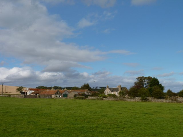
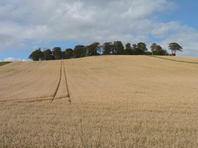
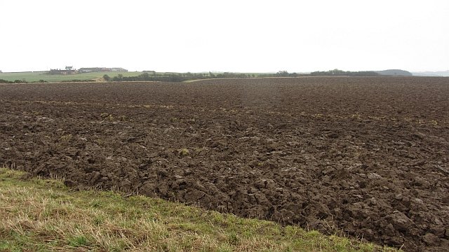
Catcraigs Hill is a prominent hill located in the county of Fife, Scotland. Standing at an elevation of approximately 212 meters (696 feet), it is situated near the village of Ceres, which lies about 8 kilometers (5 miles) southwest of Cupar. The hill is part of the Lomond Hills Regional Park, a designated area of outstanding natural beauty.
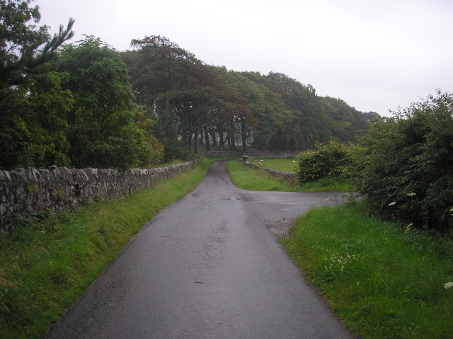
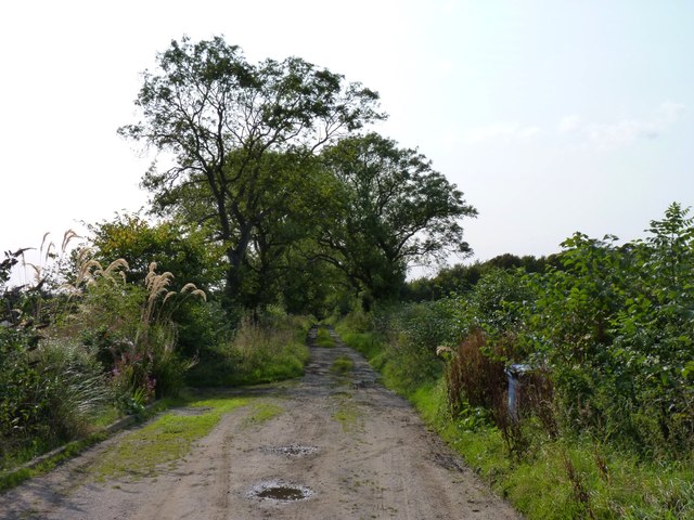
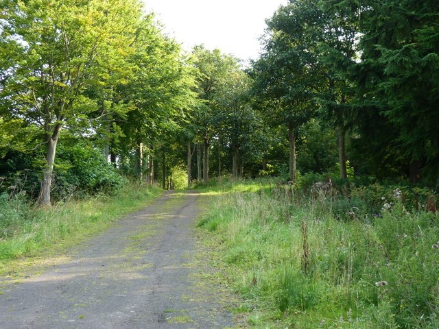
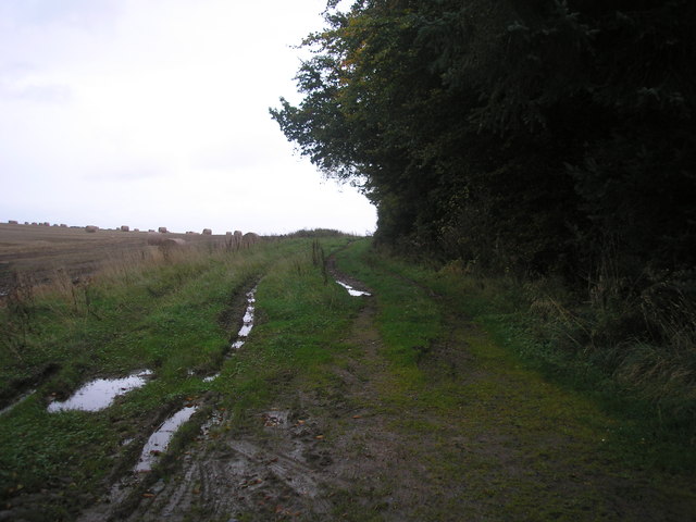
Catcraigs Hill offers breathtaking panoramic views of the surrounding countryside and is a popular destination for hikers, walkers, and nature enthusiasts. Its relatively gentle slopes make it accessible to people of all ages and fitness levels, while still providing a rewarding challenge. The hill is covered in a mix of grass, heather, and shrubs, creating a diverse and vibrant habitat for various flora and fauna.
At the summit of Catcraigs Hill, visitors can enjoy uninterrupted views of the rolling hills and fertile farmland that characterizes the region. On a clear day, it is possible to see as far as the Firth of Forth and the distant peaks of the Ochil Hills. The hill also offers a unique perspective on nearby landmarks such as the Lomond Hills themselves, the historic village of Falkland, and the picturesque Howe of Fife.
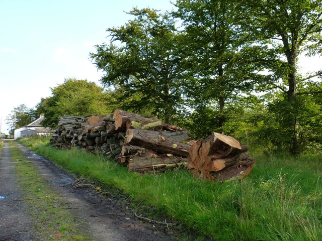
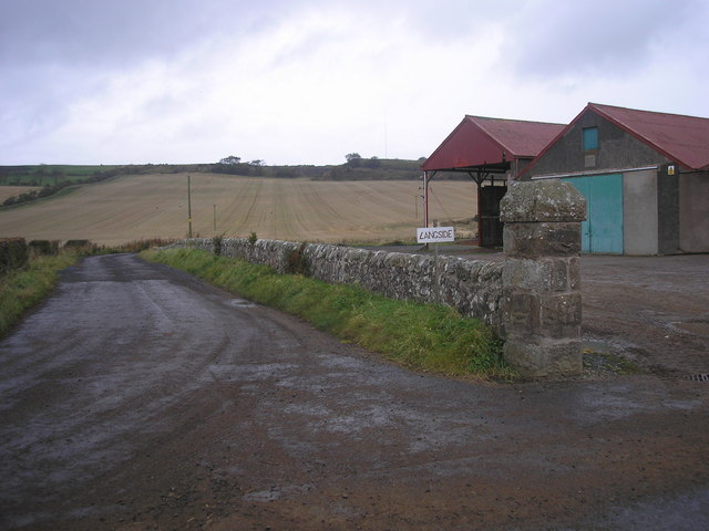
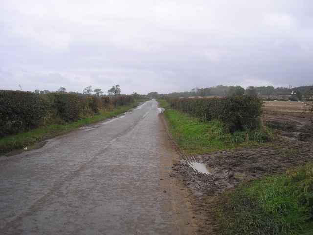
Catcraigs Hill is easily accessible by road, with ample parking available at the foot of the hill. Several well-marked trails and paths lead to the summit, ensuring a safe and enjoyable experience for visitors. Whether seeking breathtaking views, a peaceful retreat into nature, or a challenging outdoor adventure, Catcraigs Hill offers something for everyone.
If you have any feedback on the listing, please let us know in the comments section below.
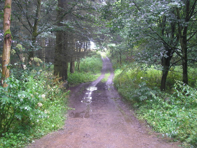
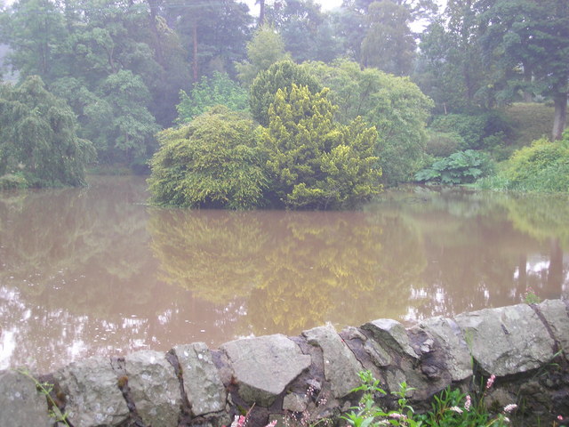
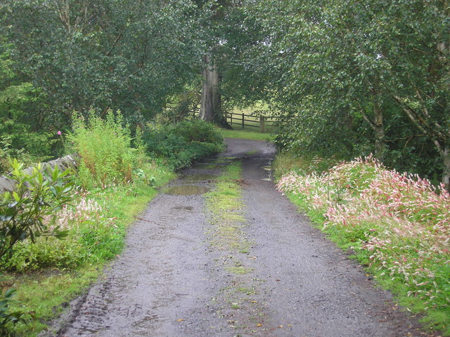
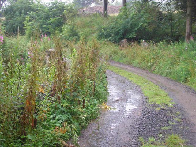
Catcraigs Hill Images
Images are sourced within 2km of 56.243371/-2.8260504 or Grid Reference NO4805. Thanks to Geograph Open Source API. All images are credited.


Catcraigs Hill is located at Grid Ref: NO4805 (Lat: 56.243371, Lng: -2.8260504)
Unitary Authority: Fife
Police Authority: Fife
What 3 Words
///bigger.discouraged.minimums. Near St Monans, Fife
Nearby Locations
Related Wikis

Balcarres House
Balcarres House lies 1km north of the village of Colinsburgh, in the East Neuk of Fife, in eastern Scotland. It is centred on a mansion built in 1595...

Lathones
Lathones (/lə'θonz/) is a village in Fife, Scotland, located approximately six miles (10 km) south west of St Andrews, in the parish of Cameron in the...

Largoward
Largoward is a village in East Fife, Scotland, lying on the road from Leven to St Andrews in the Riggin o Fife, 4½ miles north-east of Lower Largo and...

Arncroach
Arncroach is a small village situated in the east of Fife, four miles inland of the fishing village of Pittenweem and around 10 miles away from St Andrews...
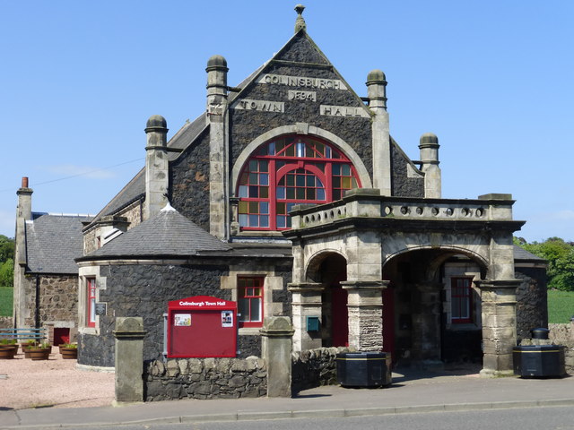
Colinsburgh Town Hall
Colinsburgh Town Hall is a municipal building in Main Street, Colinsburgh, Fife, Scotland. The building is used as a community events venue. == History... ==

Colinsburgh
Colinsburgh is a village in east Fife, Scotland, in the parish of Kilconquhar. == History == The village is named after Colin Lindsay, 3rd Earl of Balcarres...

Riggin o Fife
The Riggin o Fife is an upland area of Fife, Scotland which runs eastward from the Markinch Gap and the Howe of Fife to form the elevated hinterland to...

Kellie Castle
Kellie Castle is a castle just outside Arncroach and below the dominant hill in the area, Kellie Law. it is about 4 kilometres north of Pittenweem in...
Have you been to Catcraigs Hill?
Leave your review of Catcraigs Hill below (or comments, questions and feedback).