Brown Howe
Hill, Mountain in Westmorland Eden
England
Brown Howe
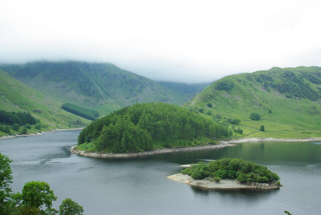
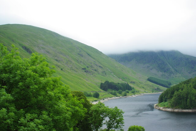
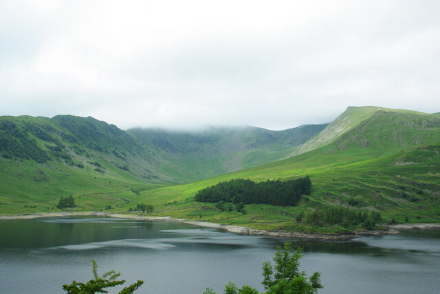
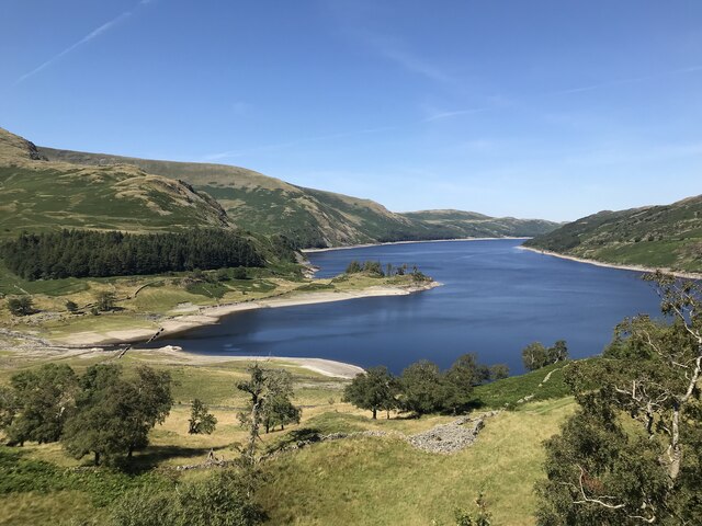
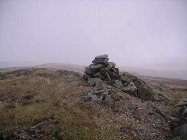
Brown Howe is a prominent hill located in the county of Westmorland, in the northwest region of England. Standing at an elevation of 449 meters (1,473 feet), it is a popular destination for hikers and nature enthusiasts who are drawn to its stunning panoramic views and diverse flora and fauna.
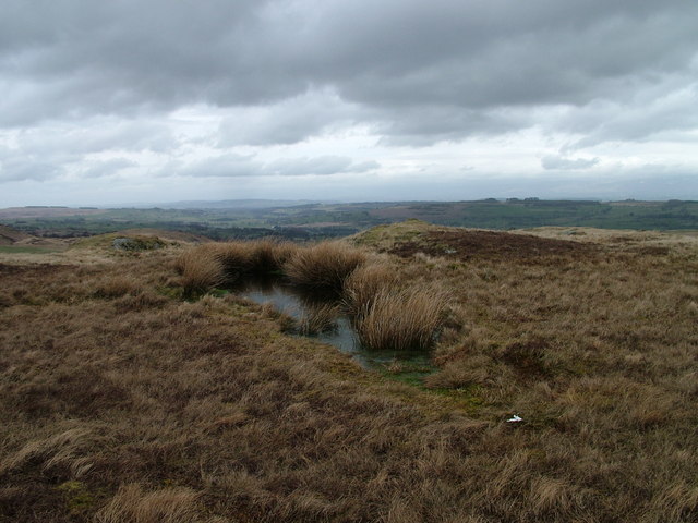
Situated in the Lake District National Park, Brown Howe is surrounded by a picturesque landscape characterized by rolling hills, lush green meadows, and serene lakes. The hill offers a relatively easy climb, making it accessible to both experienced hikers and casual walkers.
At the summit of Brown Howe, visitors are rewarded with breathtaking vistas of the surrounding countryside, including the nearby Coniston Water and Esthwaite Water. On clear days, one can even catch a glimpse of the majestic peaks of the Cumbrian Mountains.
The hill is home to a rich variety of plant and animal species, including heather, bilberry, and mosses, as well as birds such as the skylark and curlew. Its diverse ecosystem provides a haven for wildlife, making it an ideal spot for birdwatching and nature photography.
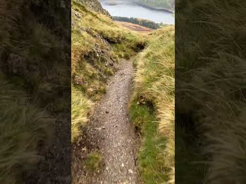
Brown Howe is easily accessible by foot or by car, with several well-marked paths and trails leading to its summit. The hill is also in close proximity to the charming village of Hawkshead, where visitors can find amenities such as accommodations, cafes, and shops.
Overall, Brown Howe offers a picturesque and tranquil setting, making it a must-visit location for those seeking to immerse themselves in the natural beauty of Westmorland.
If you have any feedback on the listing, please let us know in the comments section below.
Brown Howe Images
Images are sourced within 2km of 54.502449/-2.7933404 or Grid Reference NY4812. Thanks to Geograph Open Source API. All images are credited.


Brown Howe is located at Grid Ref: NY4812 (Lat: 54.502449, Lng: -2.7933404)
Administrative County: Cumbria
District: Eden
Police Authority: Cumbria
What 3 Words
///reap.remaking.dearest. Near Shap, Cumbria
Nearby Locations
Related Wikis

Selside Pike
Selside Pike or Selside is a fell in the English Lake District. It stands between the valleys of Mardale and Swindale in the Far Eastern Fells. == Topography... ==
Mardale
Mardale is a glacial valley in the Lake District, in northern England. The valley used to have a hamlet at its head, called Mardale Green, but this village...

Mosedale Beck (Swindale)
Mosedale Beck is a stream in Cumbria, England, which runs between Tarn Crag and Branstree, flowing north to join Swindale Beck at Swindale Head; Swindale...

Haweswater Reservoir
Haweswater is a reservoir in the valley of Mardale, Cumbria in the Lake District, England. Work to raise the height of the original natural lake was started...
Related Videos

Armchair Adventure: Camping it up at Haweswater
a relaxing get away, that served as a test for future trips: what worked, what didn't & was it comfy #hiking #cumbria #lakedistrict ...

Haweswater and the Hidden Village! #lakedistrictuk #lakedistrictnationalpark #hiking #walking #drone
Thanks for stopping by and welcome back to the channel. Here's a video of beautiful Haweswater and the Hidden Village of ...
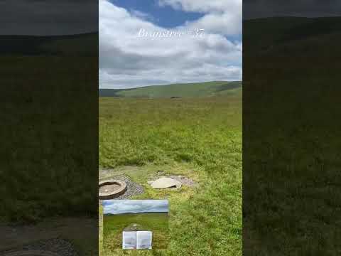
Branstree #37
Grassy tops and views of the Pennines from the Far Eastern Fells. https://jimearl6.com/__trashed/#more-6161 This walk takes in ...
Nearby Amenities
Located within 500m of 54.502449,-2.7933404Have you been to Brown Howe?
Leave your review of Brown Howe below (or comments, questions and feedback).