Brunt Knott
Hill, Mountain in Westmorland South Lakeland
England
Brunt Knott

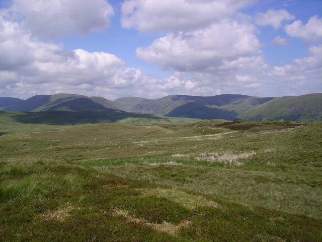
Brunt Knott is a prominent hill located in the county of Westmorland in northwestern England. Standing at an elevation of 427 meters (1,401 feet), it is classified as a hill rather than a mountain. It is situated in the Lake District National Park, which is renowned for its stunning landscapes and picturesque scenery.
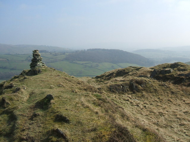
Brunt Knott offers breathtaking views of the surrounding area, including the beautiful Lake Windermere, which lies to the east. The hill is easily accessible via various footpaths and trails, making it a popular destination for hikers and nature enthusiasts. Its relatively moderate height ensures that it is suitable for individuals of various fitness levels.
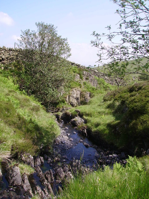
The terrain of Brunt Knott is characterized by rolling grassy slopes, interspersed with rocky outcrops. The hill is predominantly composed of sedimentary rocks, with occasional patches of exposed bedrock. The vegetation on Brunt Knott is diverse, with a mix of deciduous trees, such as oak and birch, as well as heather and grasses covering its slopes.
The hill provides habitat for a variety of wildlife, including birds of prey, such as buzzards and kestrels, as well as smaller mammals like rabbits and foxes. In addition to its natural beauty, Brunt Knott also has historical significance. The remains of an ancient hill fort, believed to date back to the Iron Age, can be found near its summit.
Overall, Brunt Knott is a captivating hill that offers both natural beauty and historical interest. It provides visitors with an opportunity to immerse themselves in the stunning landscapes of the Lake District National Park while enjoying a challenging yet rewarding hike.
If you have any feedback on the listing, please let us know in the comments section below.
Brunt Knott Images
Images are sourced within 2km of 54.398469/-2.7956602 or Grid Reference NY4800. Thanks to Geograph Open Source API. All images are credited.


Brunt Knott is located at Grid Ref: NY4800 (Lat: 54.398469, Lng: -2.7956602)
Administrative County: Cumbria
District: South Lakeland
Police Authority: Cumbria
What 3 Words
///flopping.worth.pulses. Near Staveley, Cumbria
Nearby Locations
Related Wikis

Potter Fell
Potter Fell is a fell near the villages of Burneside and Staveley, Cumbria, England, reaching a maximum height of 1,400 feet (430 m) at Brunt Knott. Alfred...

River Sprint
The River Sprint is a river in Cumbria, England with its source high up on the south-facing side of Harter Fell. It flows into the River Kent just to...
Hugill Fell
Hugill Fell is a hill in the English Lake District, near Staveley, Cumbria, on the western side of the Kentmere valley. The Database of British and Irish...
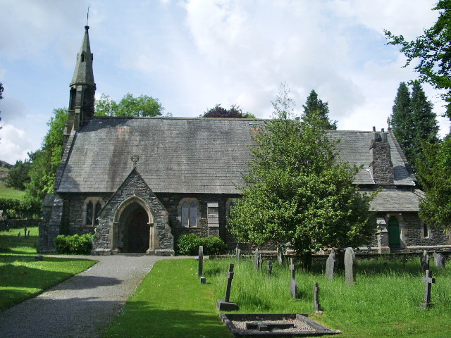
St James' Church, Staveley
St James' Church, Staveley is a Grade II listed parish church in the Church of England in Staveley, Cumbria. Its benefice is united with that of St Martin...

Over Staveley
Over Staveley is a civil parish in South Lakeland, Cumbria, England. The parish comprises most of the village of Staveley north of the River Gowan, and...
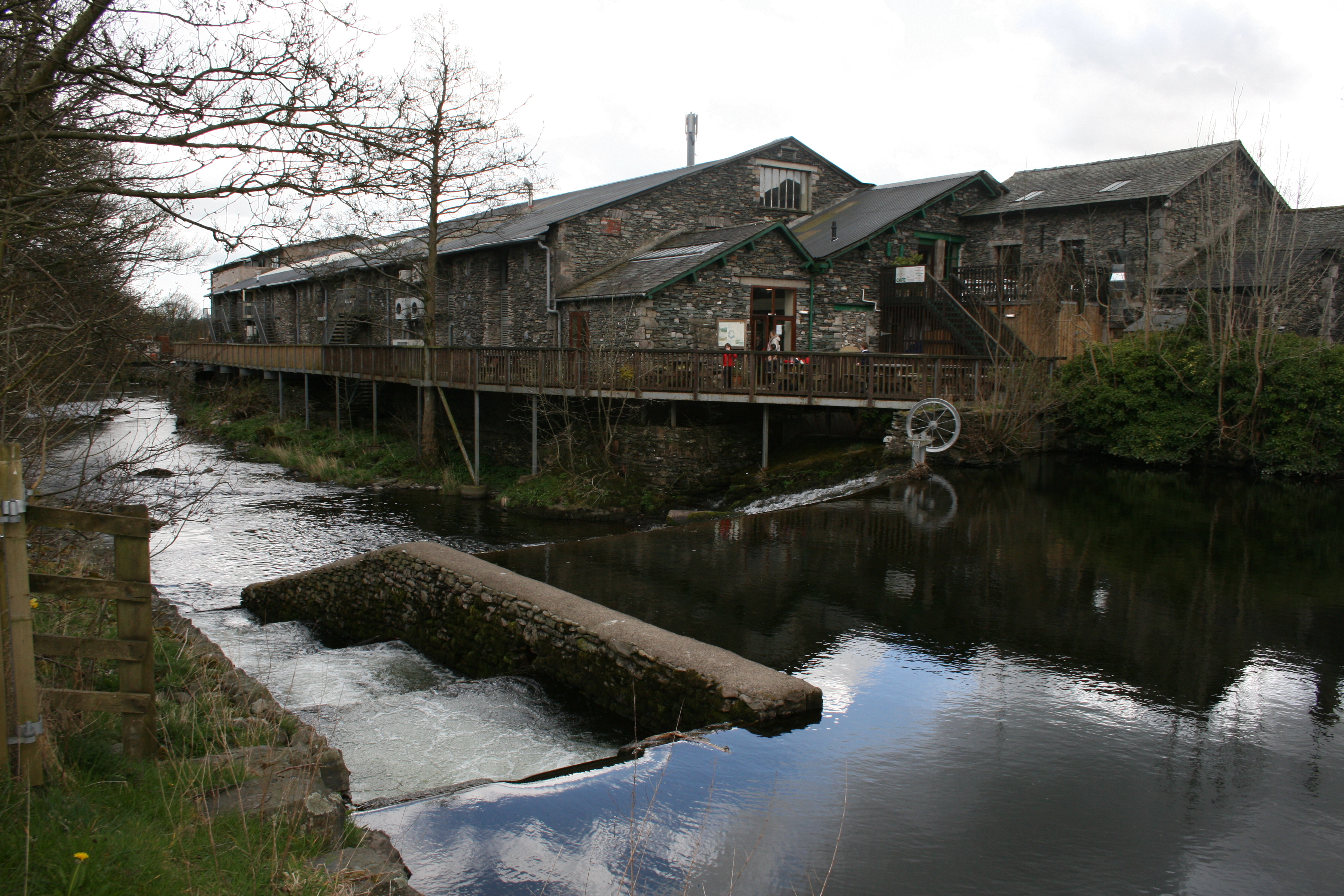
Staveley Mill Yard
Staveley Mill Yard is a former bobbin (spool) mill, which is now used for a variety of different local industries, shops and other commercial ventures...

Longsleddale
Longsleddale () is a valley and civil parish in the South Lakeland district of Cumbria, England. It includes the hamlet of Sadgill. The parish has a population...
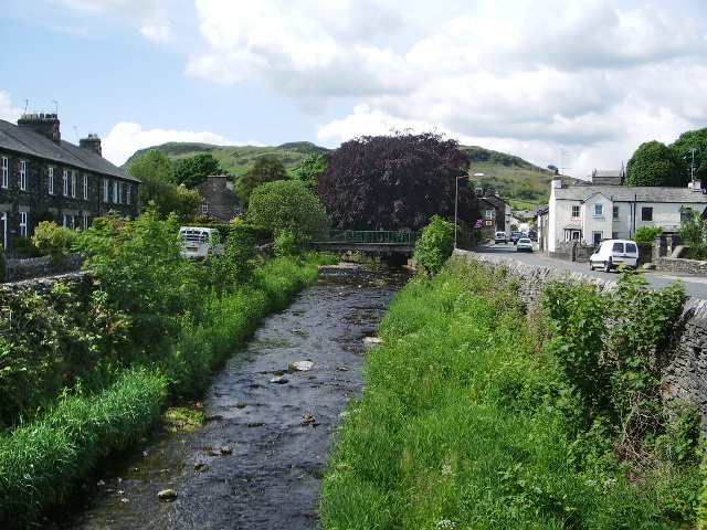
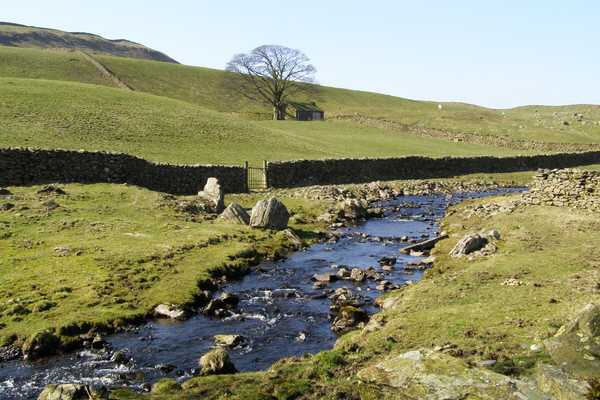
River Gowan, Cumbria
The River Gowan is a short river in Cumbria, running easterly through the village of Ings before joining the River Kent at Staveley. == Etymology == It...
Nearby Amenities
Located within 500m of 54.398469,-2.7956602Have you been to Brunt Knott?
Leave your review of Brunt Knott below (or comments, questions and feedback).