Black Hill

Hill, Mountain in Shropshire

England

Black Hill

Harlescott Lane at Nixon's Shop
Harlescott Lane at Nixon's Shop Credit: Peter Whatley

Black Hill is a prominent hill located in the county of Shropshire, England. Standing at an elevation of 510 meters (1,673 feet), it is considered one of the highest points in the region. Situated within the Shropshire Hills Area of Outstanding Natural Beauty, Black Hill offers breathtaking panoramic views of the surrounding countryside.

The hill is predominantly composed of ancient Precambrian rocks, with a distinct dark appearance, hence its name. Its geological composition contributes to its durability, resulting in the formation of steep slopes and rugged terrain that make it an attractive destination for hikers and outdoor enthusiasts.

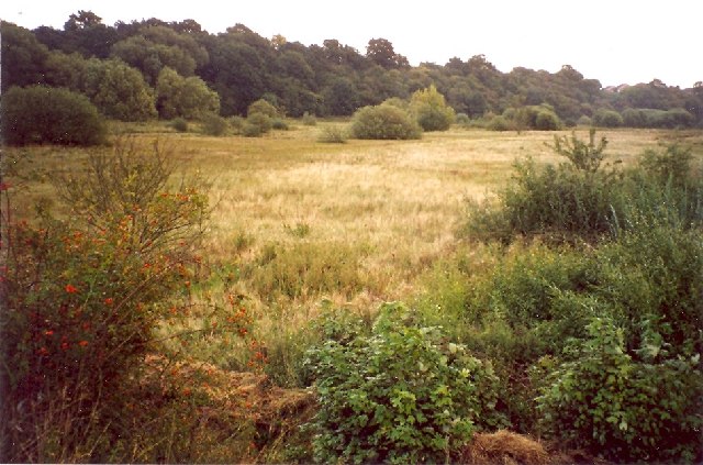
Black Hill is home to a diverse range of flora and fauna. The heathland found on its upper slopes supports a variety of plant species, including heather, gorse, and bilberry. This rich habitat also provides a haven for numerous bird species, such as the red grouse, meadow pipit, and skylark.

For those interested in history, Black Hill has archaeological significance. The remains of a Bronze Age burial mound, known as "Lord's Hill," can be found on its slopes, providing a glimpse into the lives of the area's early inhabitants.

Access to Black Hill is facilitated by a network of footpaths and trails, allowing visitors to explore its natural wonders. Whether it be trekking to the summit to admire the breathtaking vistas or immersing oneself in the tranquility of the surrounding landscape, Black Hill offers a memorable experience for all who venture there.

If you have any feedback on the listing, please let us know in the comments section below.
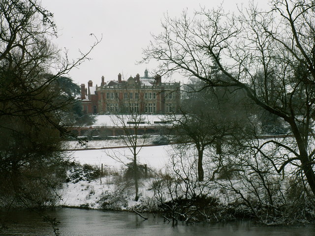
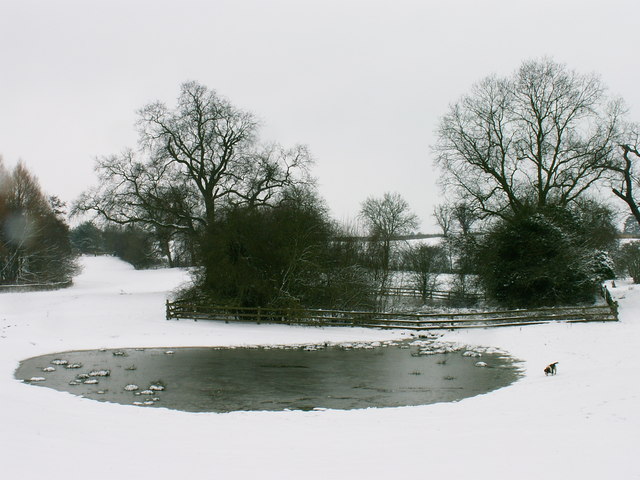
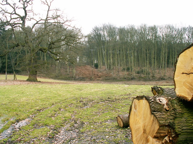
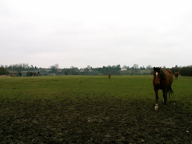
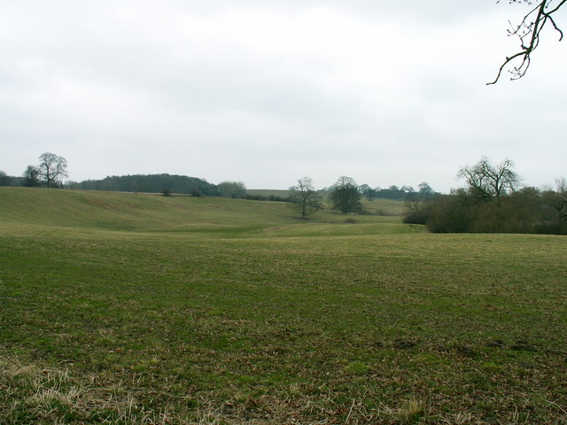
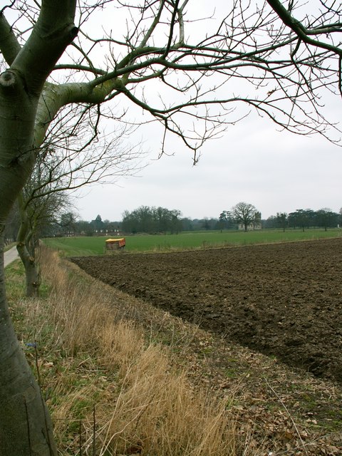
Black Hill Images

Images are sourced within 2km of 52.736231/-2.7658627 or Grid Reference SJ4815. Thanks to Geograph Open Source API. All images are credited.

Harlescott Lane at Nixon's Shop
Wayhill, Harlescott Part of the Harlescott Grange housing estate.
Wayhill, Harlescott
Part of the Harlescott Grange housing estate.
OS benchmark - Shrewsbury, no 13 Morville Road An OS cutmark on the garage of no 13 Morville Road, which was originally levelled at 70.964m above Ordnance Datum Newlyn.
OS benchmark - Shrewsbury, no 13 Morville Road
An OS cutmark on the garage of no 13 Morville Road, which was originally levelled at 70.964m above Ordnance Datum Newlyn.
OS benchmark - Shrewsbury, Lancaster Road substation An OS cutmark on the front face of an electrical sub-station building between nos 157 & 159 Lancaster Road. Originally levelled at 69.386m above Ordnance Datum Newlyn.
OS benchmark - Shrewsbury, Lancaster Road substation
An OS cutmark on the front face of an electrical sub-station building between nos 157 & 159 Lancaster Road. Originally levelled at 69.386m above Ordnance Datum Newlyn.
Wooden Statues
Wooden Statues
Church And Tower
Church And Tower
Modern housing estate in north Shrewsbury
Mount Pleasant Road, Shrewsbury
Industrial building on Knights Way, Shrewsbury
Roundabout on Knights Way, Shrewsbury
Battlefield Beers Ltd., Shrewsbury On Battlefield Enterprise Park, Archers Way.
Battlefield Beers Ltd., Shrewsbury
On Battlefield Enterprise Park, Archers Way.
Old River Bed, Coton Hill, Shrewsbury Very old, prehistoric.  Apparently the River Severn used to pass the site of Shrewsbury on the north side, and the old bed has not been drained for agricultural use.
Old River Bed, Coton Hill, Shrewsbury
Very old, prehistoric. Apparently the River Severn used to pass the site of Shrewsbury on the north side, and the old bed has not been drained for agricultural use.
Berwick House Looking at Berwick House from across the River Severn
Berwick House
Looking at Berwick House from across the River Severn
Pond at Rossall Farm A winter scene at Rossall Farm
Pond at Rossall Farm
A winter scene at Rossall Farm
Alkmund Wood Towards Alkmund Wood - a standing of water can be seen in the low lying land before the edge of the wood.
Alkmund Wood
Towards Alkmund Wood - a standing of water can be seen in the low lying land before the edge of the wood.
Flood plain of the River Severn in Shrewsbury The view across the flood plain looks south towards Frankwell in Shrewsbury
Flood plain of the River Severn in Shrewsbury
The view across the flood plain looks south towards Frankwell in Shrewsbury
Farmland north of Shrewsbury Farmland north of Gravel Hill, Shrewsbury, Shropshire
Farmland north of Shrewsbury
Farmland north of Gravel Hill, Shrewsbury, Shropshire
Farmland at the Berwick House Estate A view westward towards the almshouses and the estate church
Farmland at the Berwick House Estate
A view westward towards the almshouses and the estate church
Show me another place!

Black Hill is located at Grid Ref: SJ4815 (Lat: 52.736231, Lng: -2.7658627)

Unitary Authority: Shropshire

Police Authority: West Mercia

What 3 Words

///ground.wire.talked. Near Shrewsbury, Shropshire

Related Wikis

Crossgreen

Crossgreen is a hamlet in Shropshire, England. It is situated on the B5067, Shrewsbury to Baschurch road, in the parish of Pimhill, between Shrewsbury...

Old River Bed, Shrewsbury

Old River Bed, Shrewsbury is a Site of Special Scientific Interest located two miles north of Shrewsbury town centre, to the east of the A528 in Shropshire...

Berwick House

Berwick House is a Georgian Country House on the banks of the River Severn north of Shrewsbury, in the United Kingdom. The house dates from the 1700s,...

BBC Radio Shropshire

BBC Radio Shropshire is the BBC's local radio station serving Shropshire. It broadcasts on FM, DAB, digital TV and via BBC Sounds from studios on Boscobel...

Nearby Amenities

Located within 500m of 52.736231,-2.7658627
Barrier: stile
Lat/Long: 52.7321443/-2.7637692
Barrier: stile
Lat/Long: 52.7381142/-2.7680532
Barrier: stile
Lat/Long: 52.7391114/-2.7684233
Barrier: stile
Lat/Long: 52.7349086/-2.7673851
Power: pole
Lat/Long: 52.7400284/-2.76613
Power: pole
Lat/Long: 52.7384776/-2.7654246
Power: pole
Lat/Long: 52.7382437/-2.7657142
Power: pole
Lat/Long: 52.7374658/-2.7656499
Power: pole
Lat/Long: 52.7365239/-2.7656069
Power: pole
Lat/Long: 52.7357573/-2.7655587
Power: pole
Lat/Long: 52.734981/-2.7655157
Power: pole
Lat/Long: 52.7340959/-2.7654701
Power: pole
Lat/Long: 52.7331799/-2.7654192
Power: pole
Lat/Long: 52.7323873/-2.7653843
Power: pole
Lat/Long: 52.7317961/-2.7653602
Power: pole
Lat/Long: 52.7323331/-2.7630553
The data included in this document is from www.openstreetmap.org. The data is made available under ODbL.

Have you been to Black Hill?

Leave your review of Black Hill below (or comments, questions and feedback).