The Socach
Hill, Mountain in Aberdeenshire
Scotland
The Socach

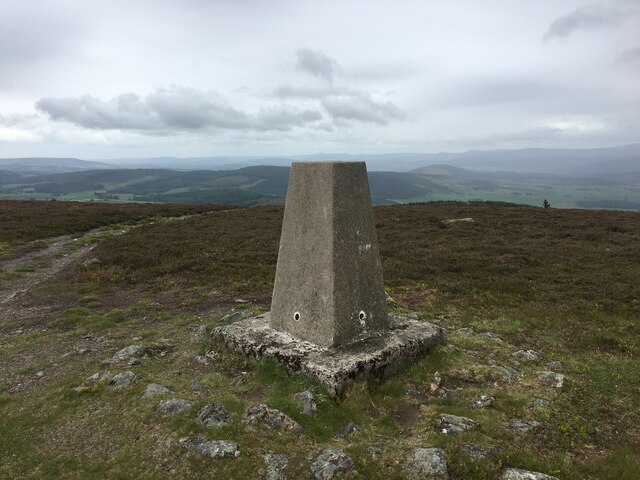
The Socach, located in Aberdeenshire, Scotland, is a prominent hill or mountain with an elevation of approximately 909 meters (2,982 feet). It forms part of the Cairngorms range, a well-known mountainous area in the eastern Highlands of Scotland.
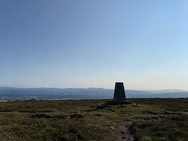
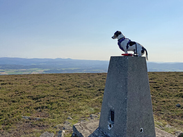
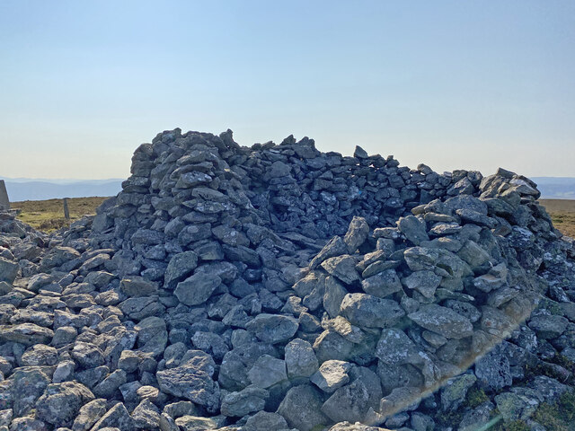
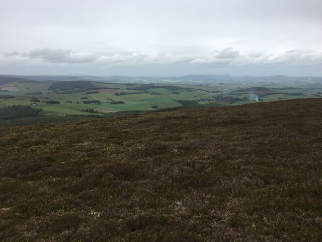
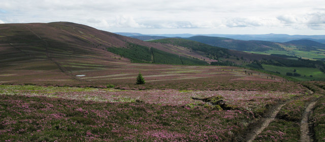
The Socach is characterized by its distinctive rounded shape, covered in heather and grass, while its summit offers breathtaking views of the surrounding landscape. It is a popular destination for hikers and outdoor enthusiasts, known for its challenging yet rewarding trails.
The hill is accessible via several routes, with one of the most common starting points being the Glen Clunie car park. From there, hikers can follow a well-marked path that gradually ascends through a mixture of open moorland and rocky terrain. The route can be demanding, particularly in adverse weather conditions, but it rewards climbers with stunning vistas over the surrounding peaks and glens.
Wildlife is abundant in the area, and visitors may encounter various species of birds, including ptarmigans and golden eagles, as well as mountain hares and deer. The Socach also boasts a diverse range of plant life, with heather, mosses, and mountain avens dotting the landscape.
Overall, the Socach in Aberdeenshire is a captivating and challenging hill/mountain that offers outdoor enthusiasts an opportunity to connect with nature, witness breathtaking views, and experience the rugged beauty of the Scottish Highlands.
If you have any feedback on the listing, please let us know in the comments section below.
The Socach Images
Images are sourced within 2km of 57.179175/-2.8592621 or Grid Reference NJ4810. Thanks to Geograph Open Source API. All images are credited.


The Socach is located at Grid Ref: NJ4810 (Lat: 57.179175, Lng: -2.8592621)
Unitary Authority: Aberdeenshire
Police Authority: North East
What 3 Words
///cheeks.indirect.enclosing. Near Alford, Aberdeenshire
Nearby Locations
Related Wikis

Cushnie Castle
Cushnie Castle was a 16th-century tower house, about 6 miles (9.7 km) south west of Alford, Aberdeenshire, Scotland, near Cushnie Burn, in the Glen of...
Towie Castle
Towie Castle was a 17th-century tower house, about 3.5 miles (5.6 km) southwest of Kildrummy in Aberdeenshire, Scotland, on the right bank of the Don....

Towie, Aberdeenshire
Towie is a small hamlet and civil parish in Aberdeenshire, Scotland, close to Alford and Lumsden, on the River Don. One of the most notable features of...

Tarland
Tarland (Gaelic: Turlann) is a village in Aberdeenshire, Scotland and is located 5 miles (8 km) northwest of Aboyne, and 30 miles (50 km) west of Aberdeen...
Have you been to The Socach?
Leave your review of The Socach below (or comments, questions and feedback).