Knotts

Hill, Mountain in Westmorland Eden

England

Knotts

Path crossing Aik Beck
Path crossing Aik Beck Credit: Steven Brown

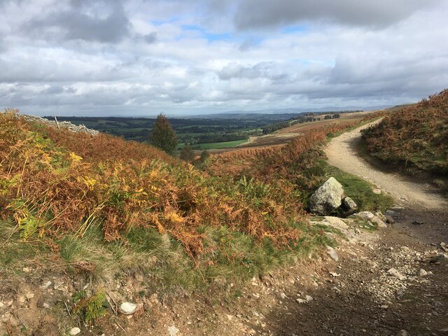
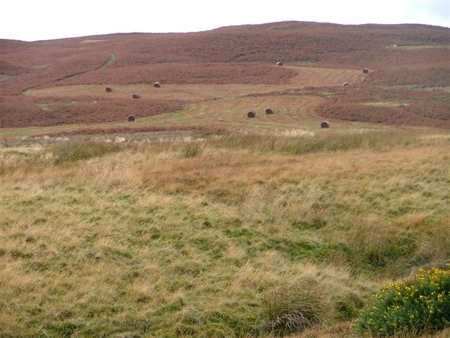
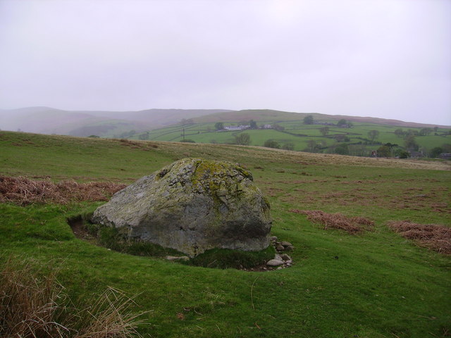
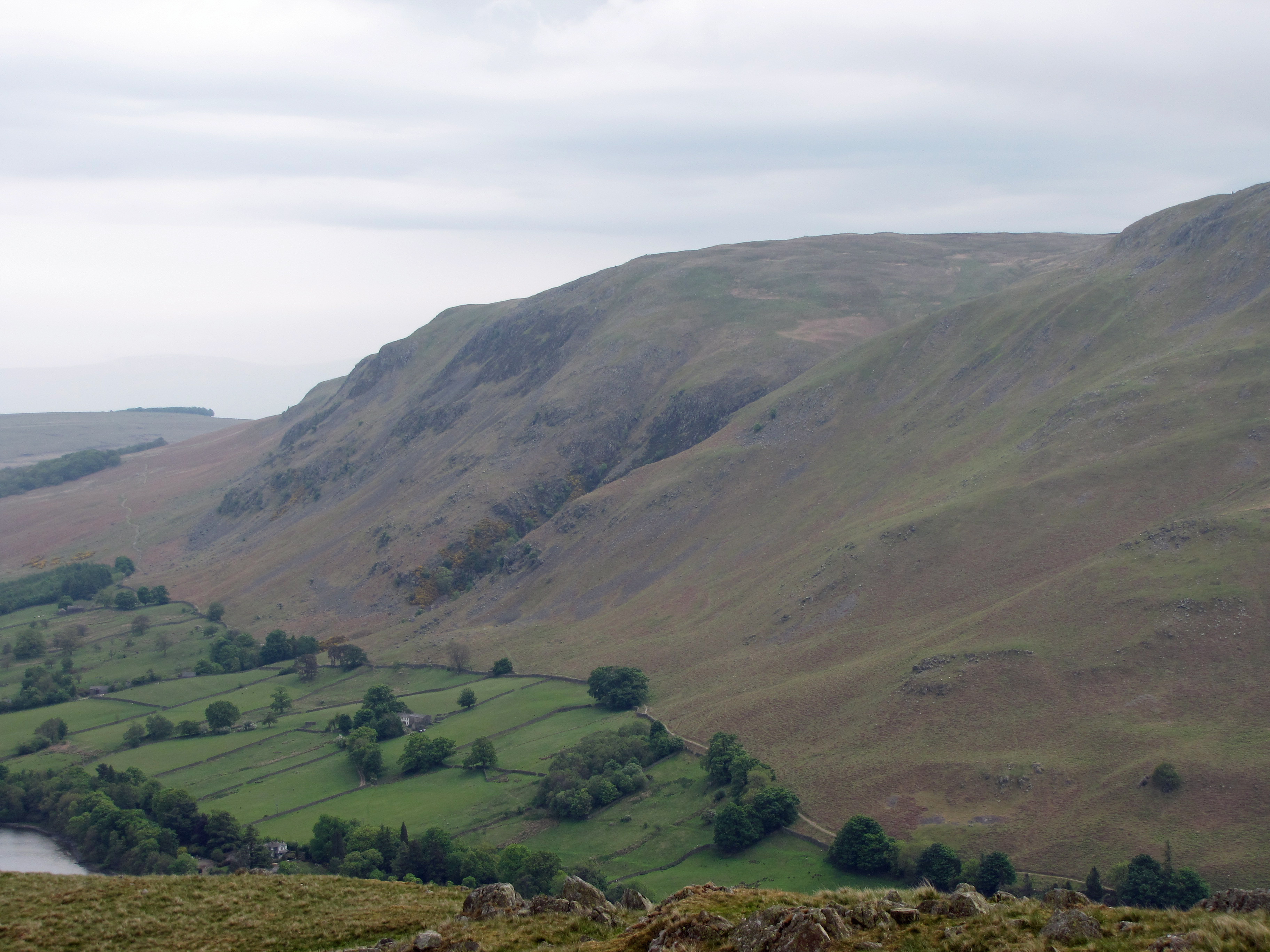
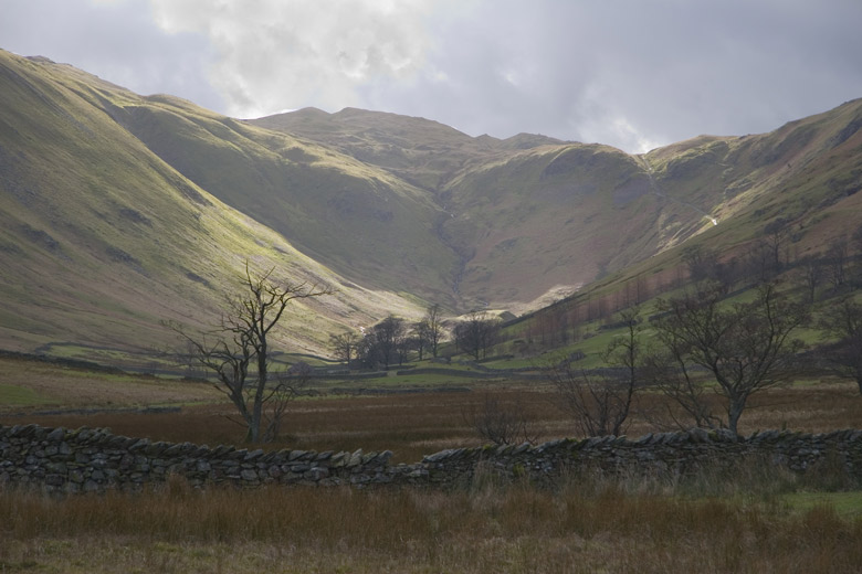
Knotts is a small hill or mountain located in the Westmorland region of England. It is situated in the Lake District National Park, which is known for its stunning natural beauty and picturesque landscapes. Knotts is part of a range of hills in the area, offering visitors a unique and breathtaking view of the surrounding countryside.

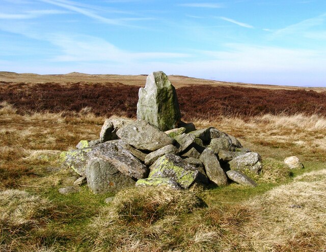
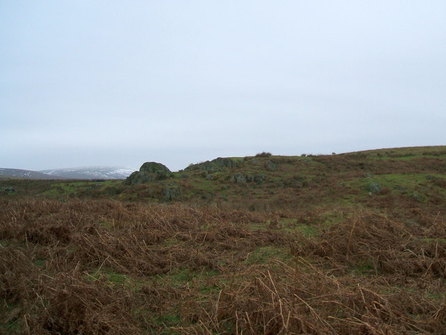
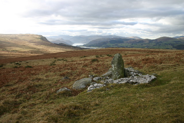
With an elevation of approximately 1,500 feet (450 meters), Knotts is not the highest peak in the region but still provides an excellent vantage point for those who enjoy hiking or hillwalking. The hill is characterized by its gently sloping sides and rocky terrain, making it a moderate challenge for outdoor enthusiasts.

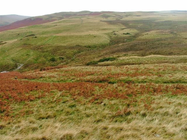
The area surrounding Knotts is rich in biodiversity, with a variety of flora and fauna thriving in the lush green meadows and wooded areas. The hill is particularly known for its vibrant display of wildflowers during the spring and summer months.

Visitors to Knotts can expect to experience a peaceful and tranquil environment, away from the hustle and bustle of urban life. The hill offers a serene setting for picnics, photography, or simply enjoying the unspoiled natural surroundings. On clear days, it is possible to see panoramic views of the Lake District, including nearby lakes and mountains.

Knotts is easily accessible by foot or by car, with several designated parking areas nearby. The hill is a popular destination for both locals and tourists alike, providing a refreshing escape into nature and an opportunity to immerse oneself in the stunning landscape of Westmorland.

If you have any feedback on the listing, please let us know in the comments section below.

Knotts Images

Images are sourced within 2km of 54.576702/-2.8040337 or Grid Reference NY4820. Thanks to Geograph Open Source API. All images are credited.

Path crossing Aik Beck
Old Boundary Marker at Threepow Raise Parish Boundary Marker at Threepow Raise, 720 metres southwest of Ketley Gate. On the boundary of Barton and Askham parishes. Inscribed L on its east face.

Milestone Society National ID: WE_BART10pb
Old Boundary Marker at Threepow Raise
Parish Boundary Marker at Threepow Raise, 720 metres southwest of Ketley Gate. On the boundary of Barton and Askham parishes. Inscribed L on its east face. Milestone Society National ID: WE_BART10pb
Old Boundary Marker at Wartches Parish Boundary Marker at Wartches, 2820 metres southwest of Ketley Gate. On the boundary of Barton and Askham parishes. See also <a title="https://www.geograph.org.uk/photo/1563511" href="https://www.geograph.org.uk/photo/1563511">Link</a> and <a title="https://www.geograph.org.uk/photo/3275338" href="https://www.geograph.org.uk/photo/3275338">Link</a>.

Milestone Society National ID: WE_BART08pb
Old Boundary Marker at Wartches
Parish Boundary Marker at Wartches, 2820 metres southwest of Ketley Gate. On the boundary of Barton and Askham parishes. See also Link and Link. Milestone Society National ID: WE_BART08pb
Old Boundary Marker on Brown Rigg Parish Boundary Marker on Brown Rigg, 1970 metres southwest of Ketley Gate. On the boundary of Barton and Askham parishes. See also <a title="https://www.geograph.org.uk/photo/2852174" href="https://www.geograph.org.uk/photo/2852174">Link</a>.

Milestone Society National ID: WE_BART11pb
Old Boundary Marker on Brown Rigg
Parish Boundary Marker on Brown Rigg, 1970 metres southwest of Ketley Gate. On the boundary of Barton and Askham parishes. See also Link. Milestone Society National ID: WE_BART11pb
Lanty Crag Not really worthy of the term 'crag'
Lanty Crag
Not really worthy of the term 'crag'
Jeannie Brewster's Well Looking west towards Loadpot Hill. Somewhere at the confluence of the streams is the spring known as Jeannie Brewster's Well.
Jeannie Brewster's Well
Looking west towards Loadpot Hill. Somewhere at the confluence of the streams is the spring known as Jeannie Brewster's Well.
Aik Beck Looking north with Heughscar hill in the distance.
Aik Beck
Looking north with Heughscar hill in the distance.
Aik Beck Following the footpath north to the left of Aik Beck towards Parkfoot Caravan site. Dunmallard (or Dun Mallet) hill is in the distance with Pooley Bridge at its foot.
Aik Beck
Following the footpath north to the left of Aik Beck towards Parkfoot Caravan site. Dunmallard (or Dun Mallet) hill is in the distance with Pooley Bridge at its foot.
Bracken Harvesting, Heltondale Bracken has traditionally been harvested as winter bedding for cattle. It would then get spread back on the land along with the muck. It has a very high potash content. An enterprising farmer in Helton is now harvesting bracken for composting. The bagged compost is sold as "Lakeland Gold".
Bracken Harvesting, Heltondale
Bracken has traditionally been harvested as winter bedding for cattle. It would then get spread back on the land along with the muck. It has a very high potash content. An enterprising farmer in Helton is now harvesting bracken for composting. The bagged compost is sold as "Lakeland Gold".
Bridge Over Mossy Beck
Cop Stone, Moor Divock A 5 foot leaning standing stone or menhir.
Cop Stone, Moor Divock
A 5 foot leaning standing stone or menhir.
Track to Arthur's Pike A rainbow momentarily appeared on the descent from Arthur's Pike. Heughscar Hill is in the distance.
Track to Arthur's Pike
A rainbow momentarily appeared on the descent from Arthur's Pike. Heughscar Hill is in the distance.
Knoll, Helton Fell Viewed from the 406m summit Knotts, this knoll was used as a control site for the 2005 Karrimor International Mountain Marathon.
Knoll, Helton Fell
Viewed from the 406m summit Knotts, this knoll was used as a control site for the 2005 Karrimor International Mountain Marathon.
A Wofa Hole, Moor Divock One of several shakeholes known as Wofa Holes. A shakehole is a depression in limestone country caused by the collapse of a cavity formed by the dissolving of the rock.
A Wofa Hole, Moor Divock
One of several shakeholes known as Wofa Holes. A shakehole is a depression in limestone country caused by the collapse of a cavity formed by the dissolving of the rock.
Boulder near Sceugh From the unenclosed road near Dalefoot
Boulder near Sceugh
From the unenclosed road near Dalefoot
Shake Hole, Moor Divock
Boulder, Askham Fell View across the Lowther valley to Knipe Scar.
Boulder, Askham Fell
View across the Lowther valley to Knipe Scar.
Track, Tarn Moor View towards Barton Fell.
Track, Tarn Moor
View towards Barton Fell.
Show me another place!

Knotts is located at Grid Ref: NY4820 (Lat: 54.576702, Lng: -2.8040337)

Administrative County: Cumbria

District: Eden

Police Authority: Cumbria

What 3 Words

///premiums.wonderful.soggy. Near Shap, Cumbria

Nearby Locations

Knotts

Related Wikis

Arthur's Pike

Arthur's Pike is a fell in the English Lake District, near Ullswater. It is a subsidiary top on the ridge falling north from Loadpot Hill in the Far Eastern...

West Ward Rural District

West Ward was a rural district of the administrative county of Westmorland. The area was directly based on the former West Ward rural sanitary district...

Boredale Hause

Boredale Hause is a mountain pass between Place Fell and Angletarn Pikes in the east of the English Lake District. It links the Patterdale and Boredale...

Heughscar Hill

Heughscar Hill is a hill in the east of the English Lake District, east of Ullswater and north of High Street, Cumbria. It is the subject of a chapter...

Nearby Amenities

Located within 500m of 54.576702,-2.8040337
Knotts
Ele: 406
Natural: peak
Lat/Long: 54.5764832/-2.8034116
Helton Fell
Place: locality
Lat/Long: 54.575033/-2.8092261
Jeanie Brewster's Well
Man Made: water_well
Wikimedia Commons: File:Jeannie Brewster's Well - geograph.org.uk - 72680.jpg
Lat/Long: 54.5768154/-2.8071792
Ford: yes
Lat/Long: 54.5761042/-2.8068125
The data included in this document is from www.openstreetmap.org. The data is made available under ODbL.

Have you been to Knotts?

Leave your review of Knotts below (or comments, questions and feedback).