Knott Hill

Hill, Mountain in Westmorland South Lakeland

England

Knott Hill

Road junction on the A591
Road junction on the A591 Credit: Steven Brown

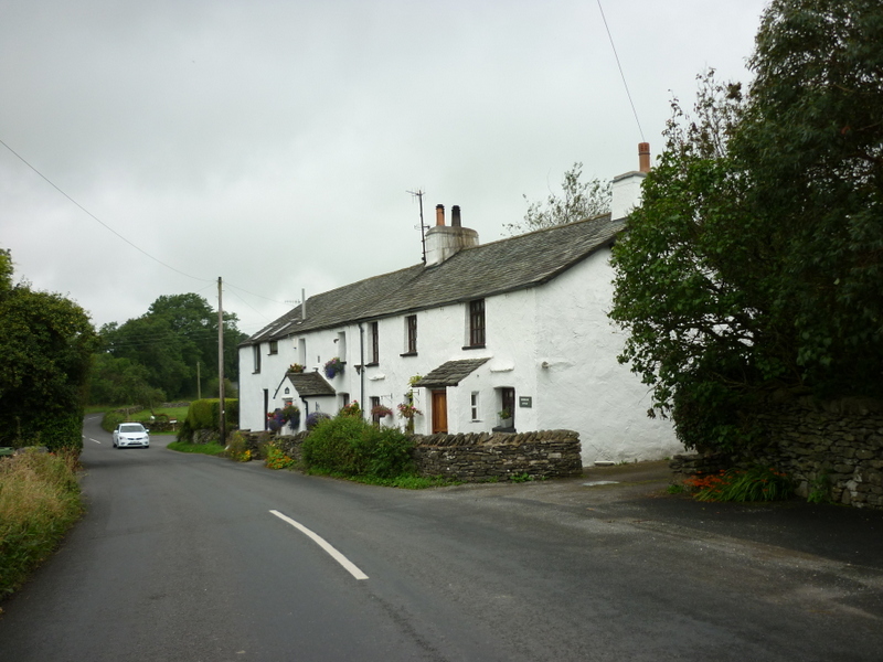
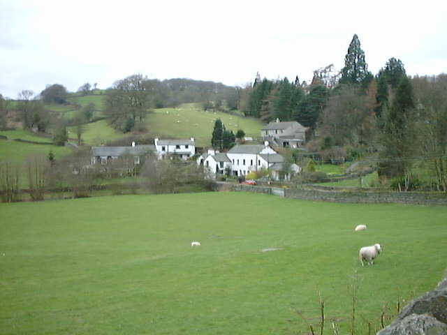
Knott Hill is a prominent hill located in Westmorland, a historic county in the northwest region of England. Standing at an elevation of approximately 1,100 feet (335 meters), it is classified as both a hill and a mountain, depending on the definition used. Knott Hill is situated within the Lake District National Park, renowned for its stunning landscapes and picturesque views.

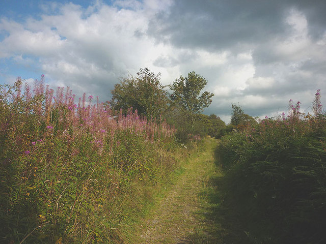
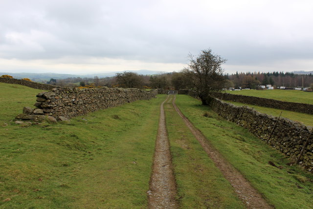
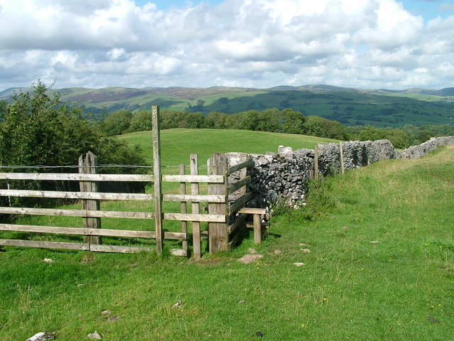
The hill is characterized by its distinctive conical shape, covered with heather and grass, which adds to the scenic beauty of the surrounding area. Its location offers panoramic vistas of the rolling countryside, nearby fells, and the shimmering waters of the nearby lakes.

Knott Hill is a popular destination for outdoor enthusiasts and nature lovers alike, attracting hikers, photographers, and birdwatchers throughout the year. Several trails and footpaths wind their way up the hill, providing visitors with various options to explore the terrain and take in the breathtaking scenery.

The summit of Knott Hill offers visitors sweeping views of the surrounding landscape, including the nearby Ullswater, one of the largest lakes in the Lake District. On clear days, it is even possible to catch a glimpse of the distant Scottish mountains.

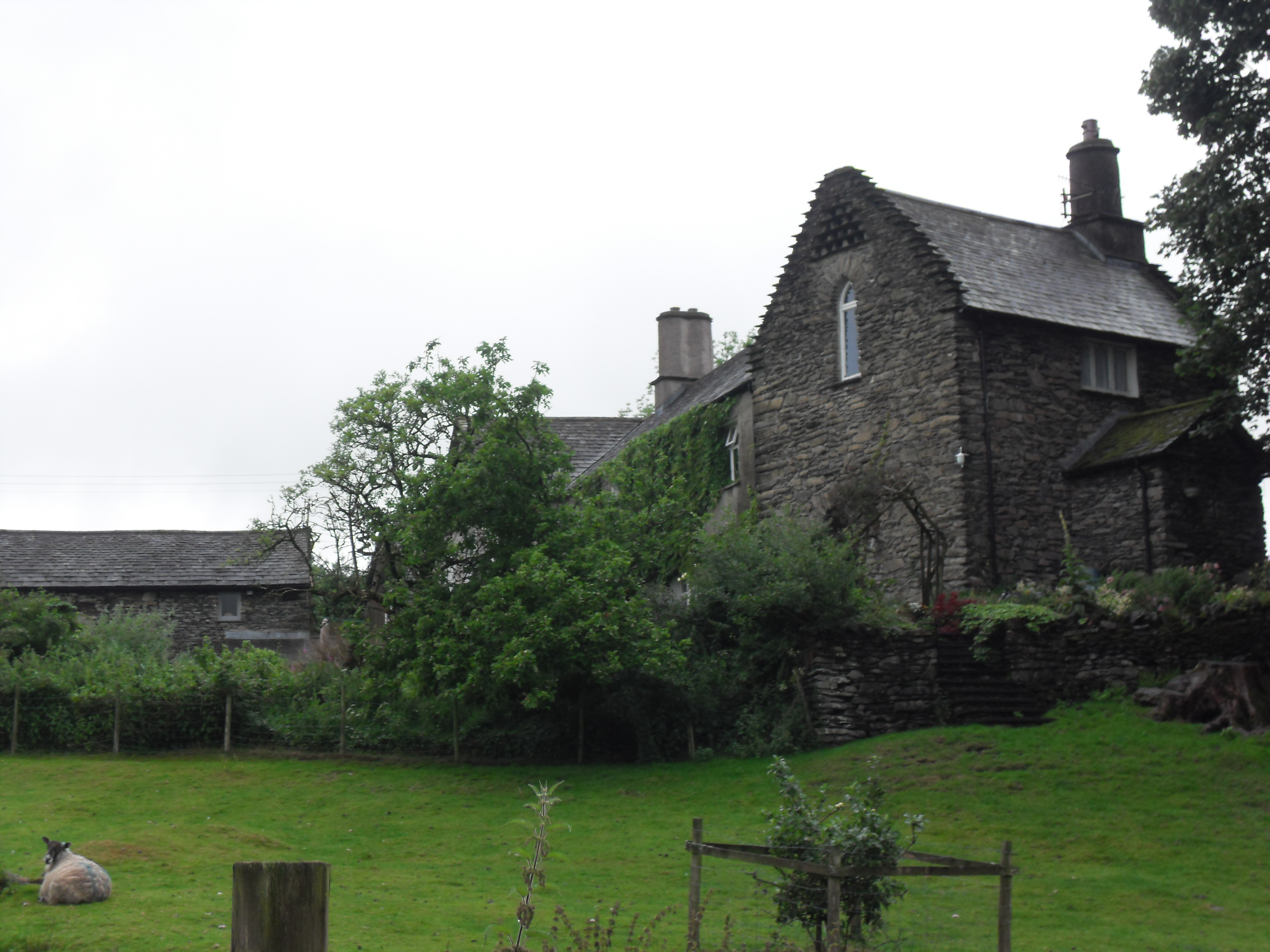
The hill is also home to a diverse range of flora and fauna, including various species of birds, mammals, and wildflowers. This biodiversity adds to the ecological importance of the area and contributes to its appeal for nature enthusiasts.

Overall, Knott Hill in Westmorland offers a wonderful opportunity to experience the natural beauty, tranquility, and stunning vistas that the Lake District National Park has to offer.

If you have any feedback on the listing, please let us know in the comments section below.
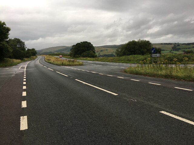
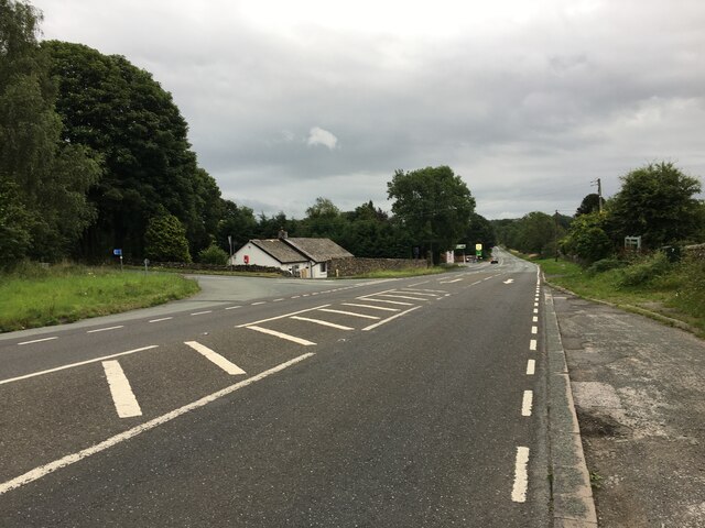
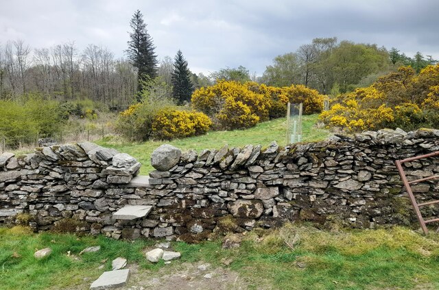
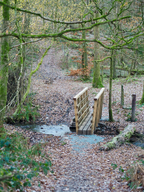
Knott Hill Images

Images are sourced within 2km of 54.356348/-2.808833 or Grid Reference SD4795. Thanks to Geograph Open Source API. All images are credited.

Road junction on the A591
A591 at Plantation Bridge
A591 near Staveley
A591 near Staveley
Stream at Stockridge Farm, Staveley Stream at Stockridge Farm, Staveley .
Stream at Stockridge Farm, Staveley
Stream at Stockridge Farm, Staveley .
Footpath on Rather Heath Footpath on Rather Heath.
Footpath on Rather Heath
Footpath on Rather Heath.
Tranquility on a frosty morning — Recent footbridge in Rather Heath
Bridleway north of Bell Hill A very pleasant walled track lined by rosebay willowherb and lots of juicy blackberries.
Bridleway north of Bell Hill
A very pleasant walled track lined by rosebay willowherb and lots of juicy blackberries.
Footpath leading to Ashes Lane Short footpath, crossing the corner of a pasture between Crook Lane and Ashes Lane.
Footpath leading to Ashes Lane
Short footpath, crossing the corner of a pasture between Crook Lane and Ashes Lane.
Ashes Lane Track near Ashes Farm heading west towards Crook Lane.
Ashes Lane
Track near Ashes Farm heading west towards Crook Lane.
Ashes Lane by Ashes Coppice The farm track beside the northern tip of the coppice - offering fine views to the north west
Ashes Lane by Ashes Coppice
The farm track beside the northern tip of the coppice - offering fine views to the north west
Ashes Lane approaching Camping and Caravanning Club Site Heading east, with the Windermere Camping and Caravanning Club Site hoving into view.
Ashes Lane approaching Camping and Caravanning Club Site
Heading east, with the Windermere Camping and Caravanning Club Site hoving into view.
Ashes Lane in the Woods on Rather Heath Moss laden woodland on either side of Ashes Lane on Rather Heath
Ashes Lane in the Woods on Rather Heath
Moss laden woodland on either side of Ashes Lane on Rather Heath
The Woods on Rather Heath
Green Lane heading for Bowston Farm Twisting walled track, adopted as a public footpath between the A591 Windermere Road and Bowston.
Green Lane heading for Bowston Farm
Twisting walled track, adopted as a public footpath between the A591 Windermere Road and Bowston.
The Railway at Bowston Farm Section of the single track branch line between Oxenholme and Windermere
The Railway at Bowston Farm
Section of the single track branch line between Oxenholme and Windermere
Approaching Bowston Farm
Kerris Hill
Kerris Hill
Dales Way heading for Field Close The long distance path heads across the pasture, passing Field Close - and onwards towards Staveley
Dales Way heading for Field Close
The long distance path heads across the pasture, passing Field Close - and onwards towards Staveley
Show me another place!

Knott Hill is located at Grid Ref: SD4795 (Lat: 54.356348, Lng: -2.808833)

Administrative County: Cumbria

District: South Lakeland

Police Authority: Cumbria

What 3 Words

///glitz.sourcing.estimate. Near Staveley, Cumbria

Nearby Locations

Knott Hill Bank Wood

Related Wikis

Bonning Gate

Bonning Gate is a hamlet in Cumbria, England. It is located 3.2 miles (5.1 km) by road to the northwest of Kendal. == See also == List of places in Cumbria...

Hollin Hall, Cumbria

Hollin Hall is a country house in Crook in Cumbria. It is a Grade II listed building. == History == The hall, formerly called Thwatterden Hall, is a 14th...

Crook, Cumbria

Crook is a village and civil parish in the South Lakeland district of the English county of Cumbria, located on the B5284 road between Kendal and Windermere...

Strickland Ketel

Strickland Ketel (sometimes Strickland Kettle) is a civil parish in South Lakeland, Cumbria, England. In the 2001 census the parish had a population of...

Nearby Amenities

Located within 500m of 54.356348,-2.808833
Tourism: caravan_site
Lat/Long: 54.359053/-2.8064808
Power: pole
Lat/Long: 54.3607415/-2.8078734
Power: pole
Lat/Long: 54.3599995/-2.8064677
Power: pole
Lat/Long: 54.3533207/-2.8053926
Power: pole
Lat/Long: 54.3529241/-2.8047996
The data included in this document is from www.openstreetmap.org. The data is made available under ODbL.

Have you been to Knott Hill?

Leave your review of Knott Hill below (or comments, questions and feedback).