Bancombe Hill
Hill, Mountain in Somerset South Somerset
England
Bancombe Hill
Bancombe Hill is a prominent natural feature located in Somerset, England. It is classified as a hill rather than a mountain, standing at an elevation of approximately 149 meters (489 feet) above sea level. The hill is situated in the southern part of the county, near the village of Somerton.
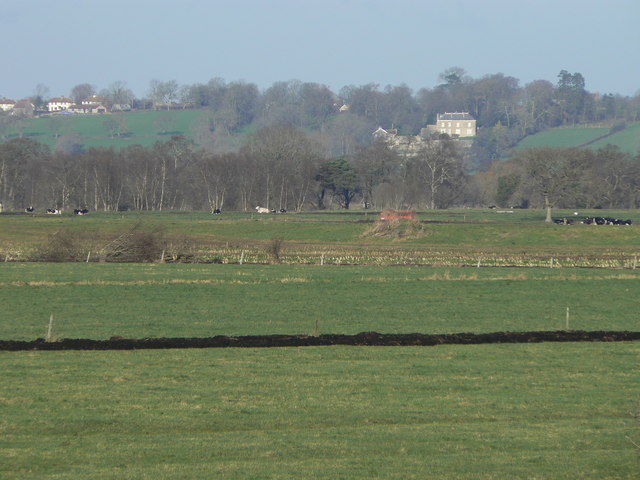
Bancombe Hill is characterized by its gently sloping terrain, covered in lush green grass and scattered with patches of woodland. The hill offers breathtaking views of the surrounding countryside, making it a popular destination for hikers and nature enthusiasts. On a clear day, visitors can admire the rolling landscapes of Somerset and catch glimpses of distant landmarks.
The area around Bancombe Hill is rich in biodiversity, with a variety of plant and animal species calling it home. It provides a habitat for many bird species, including buzzards, kestrels, and skylarks, which can often be seen soaring above the hill. Wildflowers such as cowslips and bluebells also adorn the slopes during the spring months, adding a burst of color to the landscape.
The hill holds historical significance as well. It is believed to have been used by Iron Age settlers as a defensive position due to its strategic location. Archaeological remains, including remnants of ancient earthworks, have been discovered on the hill, providing valuable insights into the region's past.
Bancombe Hill offers a peaceful retreat for those seeking to connect with nature or explore the area's history. With its scenic beauty and cultural significance, it is a cherished natural landmark in Somerset.
If you have any feedback on the listing, please let us know in the comments section below.
Bancombe Hill Images
Images are sourced within 2km of 51.063226/-2.7502795 or Grid Reference ST4729. Thanks to Geograph Open Source API. All images are credited.


Bancombe Hill is located at Grid Ref: ST4729 (Lat: 51.063226, Lng: -2.7502795)
Administrative County: Somerset
District: South Somerset
Police Authority: Avon and Somerset
What 3 Words
///plea.swear.downsize. Near Langport, Somerset
Nearby Locations
Related Wikis
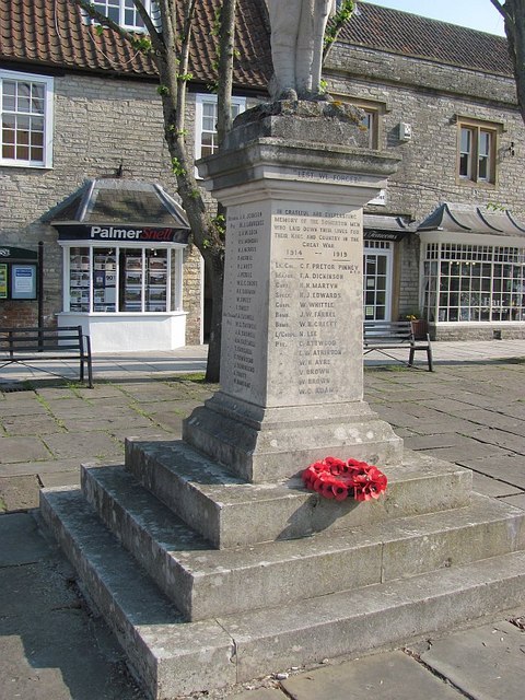
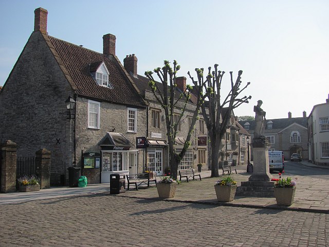
Somerton, Somerset
Somerton ( SUM-ər-tən) is a town and civil parish in the English county of Somerset. It gave its name to the county and was briefly, around the start of...

Wessex (ward)
Wessex is an electoral ward of South Somerset District Council in Somerset, England. It is one of the wards that makes up the parliamentary constituency...
Mid Somerset Hills
The Mid Somerset Hills are a major natural region in the county of Somerset in southwest west England, forming a series of low hills and ridges that divide...
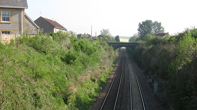
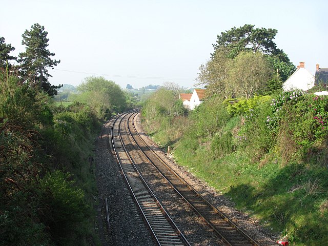
Somerton railway station
Somerton railway station (not to be confused with Fritwell & Somerton) was a railway station situated on the Great Western Railway's Langport and Castle...

Somerton Viaduct
The Somerton Viaduct is a historic railway viaduct in the town of Somerton in Somerset, England. It is situated on the Langport and Castle Cary Railway...

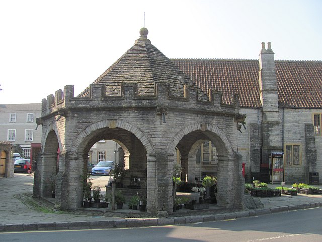
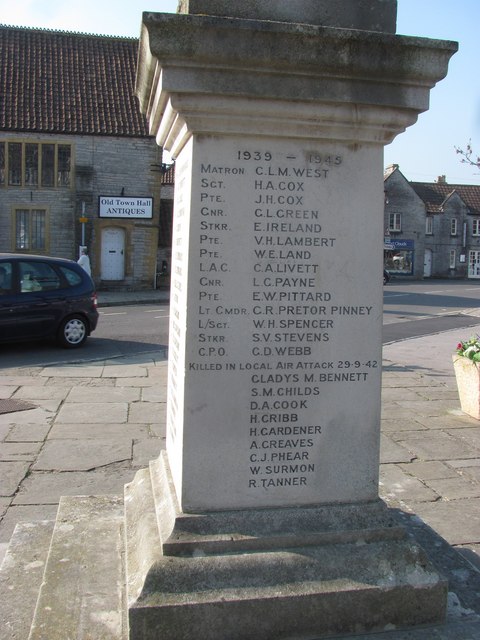
Old Town Hall, Somerton
The Old Town Hall is a municipal building in the Market Place in Somerton, Somerset, England. The building, which is used as an arts centre, is a Grade...

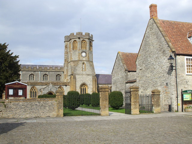
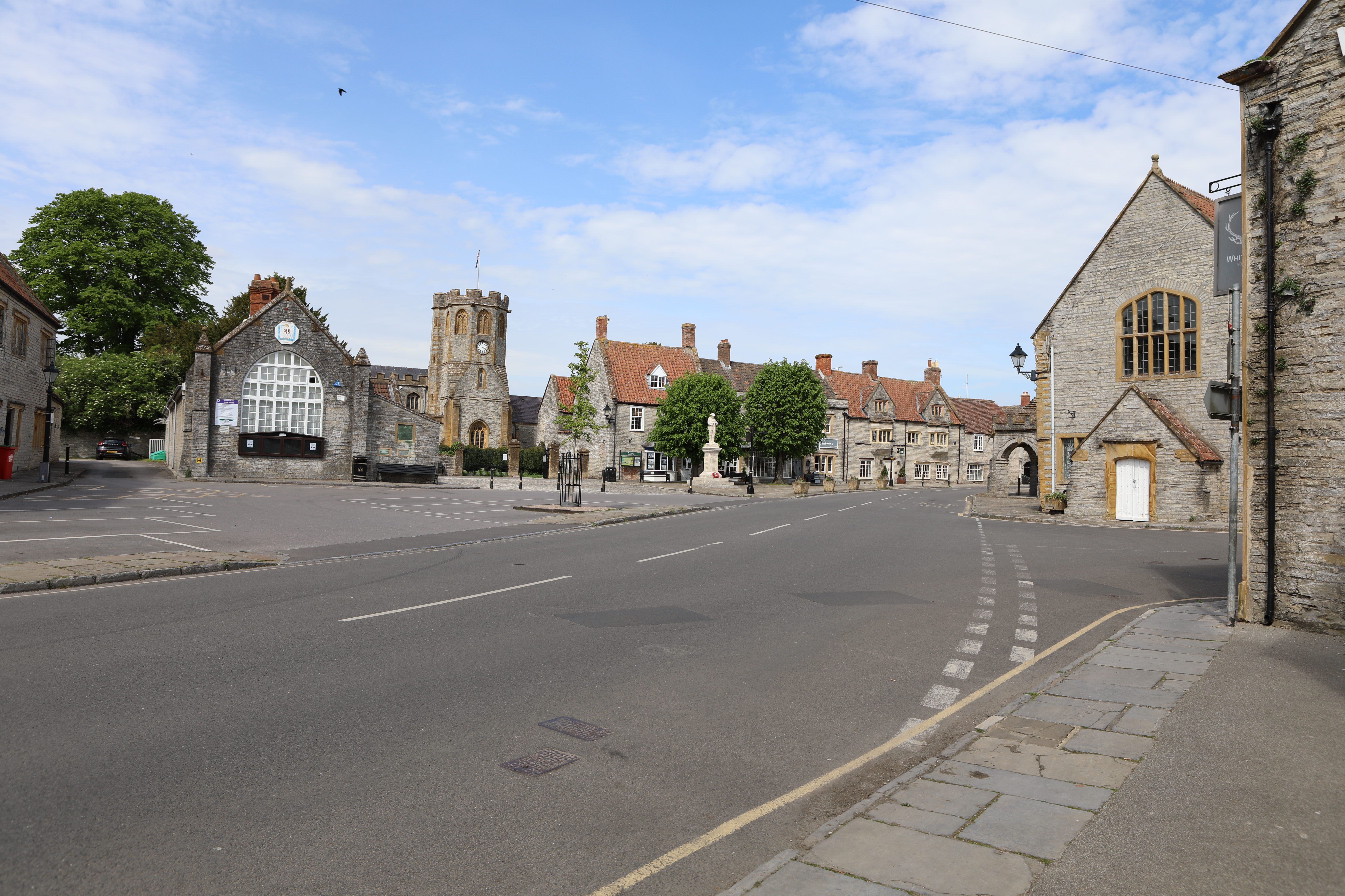
Church of St Michael and All Angels, Somerton
The Church of St Michael and All Angels in Somerton, Somerset, England dates from the 13th century and has been designated as a Grade I listed building...
Somerton Tunnel
Somerton Tunnel is located between Somerton and Langport on the Reading to Taunton Line in Somerset, England.The tunnel was constructed by the Great Western...
Nearby Amenities
Located within 500m of 51.063226,-2.7502795Have you been to Bancombe Hill?
Leave your review of Bancombe Hill below (or comments, questions and feedback).