Shipman Knotts

Hill, Mountain in Westmorland South Lakeland

England

Shipman Knotts

Sadgill Bridge Sadgill Bridge over the River Sprint.
Sadgill Bridge Credit: Colin Kinnear

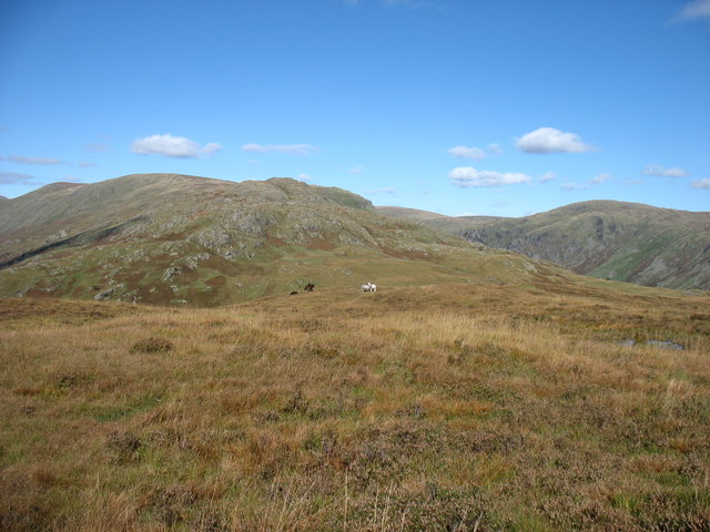
Shipman Knotts is a prominent hill located in the Lake District National Park in Westmorland, England. Standing at an elevation of 587 meters (1,926 feet), it is categorized as a "Birkett" and is a popular destination for hikers and outdoor enthusiasts.

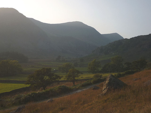
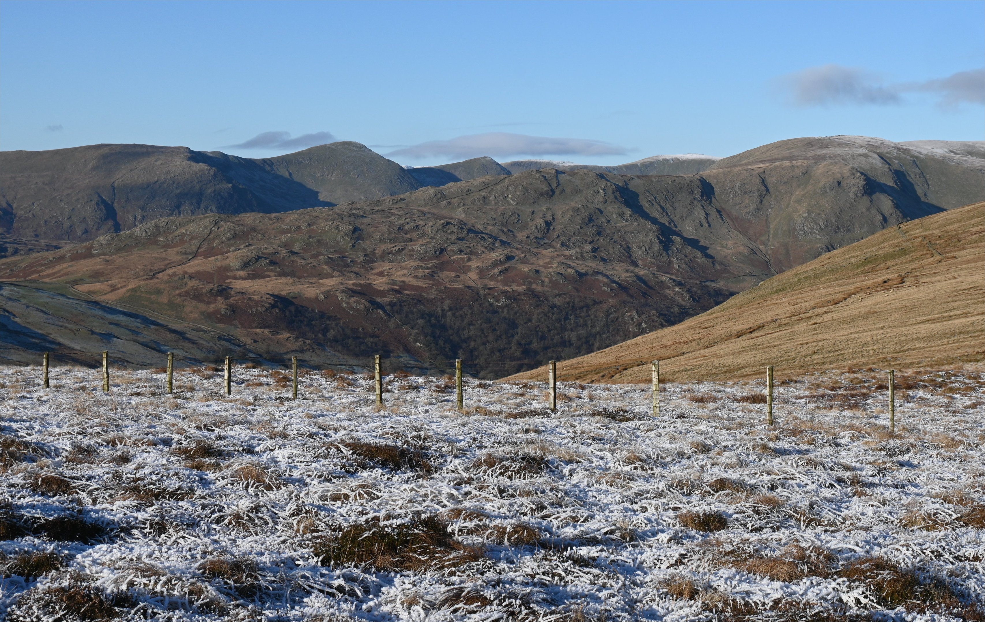
Situated in the eastern region of the Lake District, Shipman Knotts offers breathtaking views of the surrounding fells and valleys. It is often climbed in conjunction with other nearby peaks such as Kentmere Pike and Harter Fell, forming part of a challenging circular route known as the Kentmere Horseshoe.

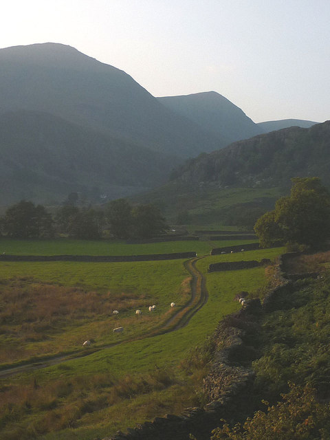
The ascent to the summit of Shipman Knotts typically begins from the small village of Kentmere, which provides ample parking facilities for visitors. The initial part of the walk takes hikers through picturesque farmland and along a well-defined path, gradually gaining elevation as it approaches the summit.

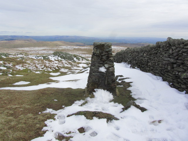
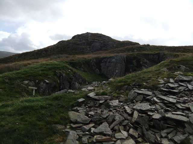
Once at the top, visitors are rewarded with panoramic vistas of the surrounding countryside, including the stunning Kentmere Valley and the distant peaks of the Lake District. The summit itself is marked by a small cairn, offering a perfect spot for a rest or a picnic while taking in the breathtaking scenery.

Shipman Knotts is known for its tranquil and peaceful setting, attracting both seasoned hillwalkers and those seeking a more leisurely stroll. Its accessibility and proximity to other popular peaks make it a must-visit destination for nature lovers exploring the Lake District.

If you have any feedback on the listing, please let us know in the comments section below.

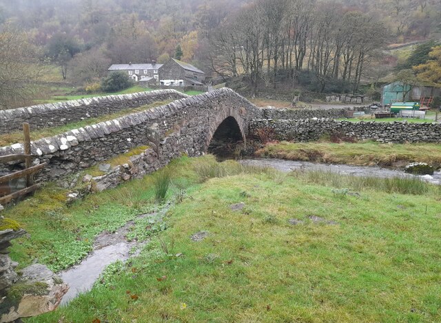
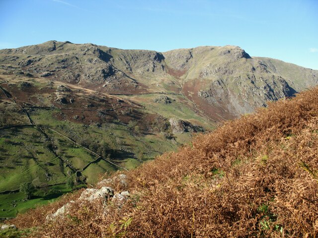
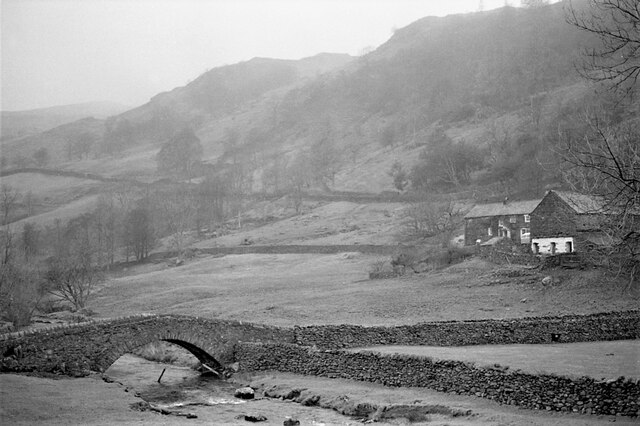
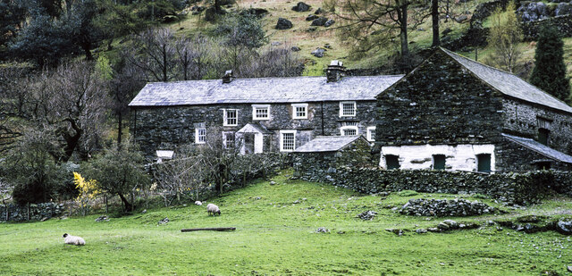
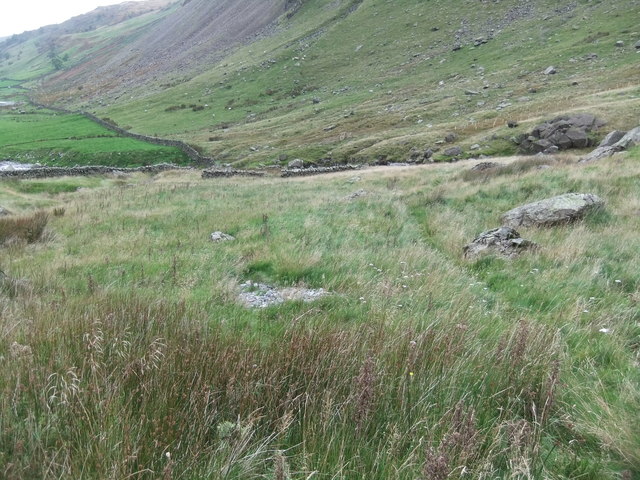
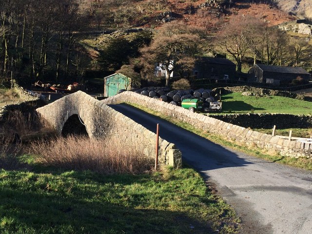
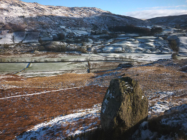
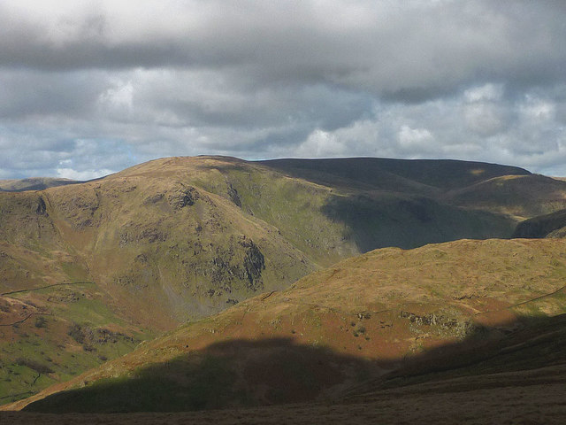
Shipman Knotts Images

Images are sourced within 2km of 54.449398/-2.8149231 or Grid Reference NY4706. Thanks to Geograph Open Source API. All images are credited.

Sadgill Bridge Sadgill Bridge over the River Sprint.
Sadgill Bridge
Sadgill Bridge over the River Sprint.
Shipman Knotts and Goat Scar
Sadgill Bridge The bridge spans the River Sprint. Low Sadghyll is on the right.
Sadgill Bridge
The bridge spans the River Sprint. Low Sadghyll is on the right.
Farm at Sadgill The farm as seen across the River Sprint from the public road end in Longsleddale.
Farm at Sadgill
The farm as seen across the River Sprint from the public road end in Longsleddale.
Trig point on Kentmere Pike - view SE
Old quarry under Tom's Howe
Road to Tom's Howe
Road to Tom's Howe
Upper Kentmere At this time of the year, the sun soon dips behind the range of fells that bound the Kentmere valley. These pastures are the highest in the dale and are about to be cast into shadow.
Upper Kentmere
At this time of the year, the sun soon dips behind the range of fells that bound the Kentmere valley. These pastures are the highest in the dale and are about to be cast into shadow.
The footpath to Tongue House and upper Kentmere Tongue House is the rather grand name for the barn which sits below Tongue Scar, the rocky spur which divides upper Kentmere from Ullstone Gill. Dominating the upper dale are the conical peaks of Ill Bell and Froswick.
The footpath to Tongue House and upper Kentmere
Tongue House is the rather grand name for the barn which sits below Tongue Scar, the rocky spur which divides upper Kentmere from Ullstone Gill. Dominating the upper dale are the conical peaks of Ill Bell and Froswick.
Looking down into Longsleddale
Tarn crag fences Useful in mist
Tarn crag fences
Useful in mist
Sheepfold, Longsleddale
Sadgill Bridge, Longsleddale
Boulder above Kentmere Perched on the edge of the rough, craggy expanse above Scales.
Boulder above Kentmere
Perched on the edge of the rough, craggy expanse above Scales.
Fells at the head of Longsleddale Looking from Swinklebank Crag towards Kentmere Pike and Harter Fell. In the foreground is the ridge of Great Howe rising above the side valley of Stockdale.
Fells at the head of Longsleddale
Looking from Swinklebank Crag towards Kentmere Pike and Harter Fell. In the foreground is the ridge of Great Howe rising above the side valley of Stockdale.
The summit of Hollow Moor E Top Looking north to Kentmere Pike and Shipman Knotts, the final fells on a (clockwise) round of the Kentmere Horseshoe.

This is the "nameless summit, 1370 ft" in the Green Quarter Fell chapter of Wainwright's "Outlying Fells of Lakeland". It is sometimes referred to as Cocklaw Fell, but this name relates to a hill about 50m lower and 750 metres to the south-east. Both these points are nothing more than minor tops: the only significant summit in the vicinity is Hollow Moor at NY469040.
The summit of Hollow Moor E Top
Looking north to Kentmere Pike and Shipman Knotts, the final fells on a (clockwise) round of the Kentmere Horseshoe. This is the "nameless summit, 1370 ft" in the Green Quarter Fell chapter of Wainwright's "Outlying Fells of Lakeland". It is sometimes referred to as Cocklaw Fell, but this name relates to a hill about 50m lower and 750 metres to the south-east. Both these points are nothing more than minor tops: the only significant summit in the vicinity is Hollow Moor at NY469040.
The upper Kentmere valley From the northern slopes of Green Quarter Fell, showing the western part and the head of the Kentmere Horseshoe.
The upper Kentmere valley
From the northern slopes of Green Quarter Fell, showing the western part and the head of the Kentmere Horseshoe.
Haweswater Siting Pillar on Great Howe
Show me another place!

Shipman Knotts is located at Grid Ref: NY4706 (Lat: 54.449398, Lng: -2.8149231)

Administrative County: Cumbria

District: South Lakeland

Police Authority: Cumbria

What 3 Words

///crossings.daring.stocky. Near Staveley, Cumbria

Nearby Locations

Goat Scar Shipman Knotts

Related Wikis

Shipman Knotts

Shipman Knotts is a fell in the English Lake District in Cumbria, England. It reaches a height of 587 metres (1,926 ft) and is situated in one of the quieter...

Sadgill

Sadgill is a hamlet in Longsleddale, Cumbria, England. It is a divided settlement, also containing Low Sadgill. == References ==

Kentmere Pike

Kentmere Pike is a fell in the English Lake District, rising between the valleys of Kentmere and Longsleddale. It is the highpoint on the ridge between...

Tarn Crag (Far Eastern Fells)

Tarn Crag is a fell in the English Lake District. It stands to the east of Longsleddale in the Far Eastern Fells. == Topography == North of Sadgill, the...

Nearby Amenities

Located within 500m of 54.449398,-2.8149231
Shipman Knotts
Ele: 587
Natural: peak
Wikidata: Q7498035
Wikipedia: en:Shipman Knotts
Lat/Long: 54.4485804/-2.8147068
Barrier: stile
Lat/Long: 54.4529945/-2.8160889
Rough Crags
Place: locality
Lat/Long: 54.4511842/-2.8140566
The data included in this document is from www.openstreetmap.org. The data is made available under ODbL.

Have you been to Shipman Knotts?

Leave your review of Shipman Knotts below (or comments, questions and feedback).