Barrock Fell
Hill, Mountain in Cumberland Eden
England
Barrock Fell

Barrock Fell, located in Cumberland, England, is a prominent hill/mountain renowned for its captivating natural beauty and historical significance. Standing at an elevation of approximately 459 meters (1,506 feet), it offers breathtaking panoramic views of the surrounding countryside.
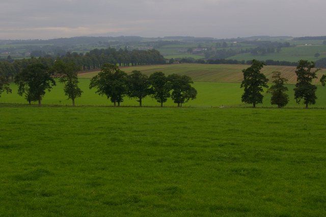
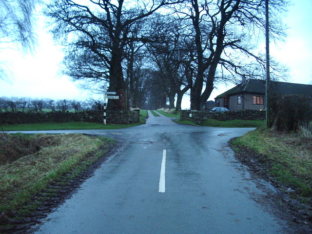
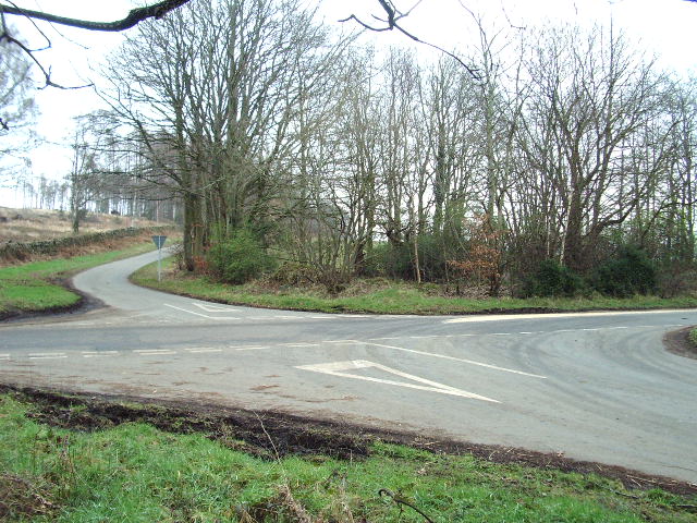
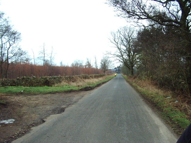
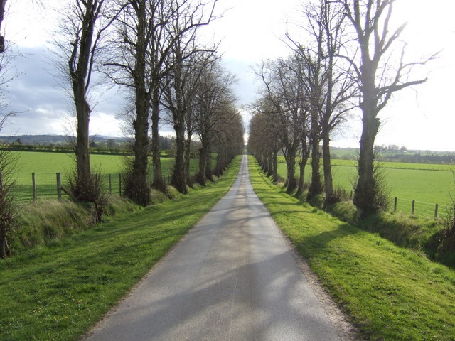
The fell is characterized by its rugged terrain, with a mixture of grassy slopes, rocky outcrops, and scattered trees. It is a popular destination for hikers and nature enthusiasts, who are drawn to its tranquil atmosphere and diverse wildlife. Visitors can explore the numerous walking trails that traverse the fell, taking them through picturesque valleys and along ridges offering stunning vistas.
Barrock Fell is also steeped in history, with evidence of human habitation dating back thousands of years. Archaeological findings suggest that the area was once occupied by ancient civilizations, leaving behind remnants such as stone circles and burial mounds. These historical artifacts add an air of mystery and intrigue to the already captivating landscape.
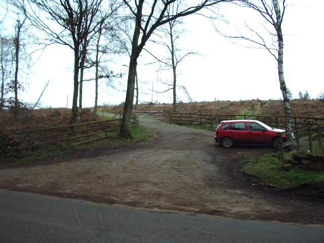
The fell is easily accessible, with a well-maintained car park located nearby, allowing visitors to start their ascent from a convenient starting point. Although not particularly challenging for experienced hikers, it still provides a moderate level of difficulty, making it suitable for people of various fitness levels.
In conclusion, Barrock Fell in Cumberland is a stunning hill/mountain that offers a combination of natural beauty, historical significance, and recreational opportunities. Whether one seeks a peaceful hike, a glimpse into the past, or simply a chance to immerse themselves in nature, Barrock Fell is an exceptional destination to explore.
If you have any feedback on the listing, please let us know in the comments section below.
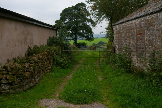
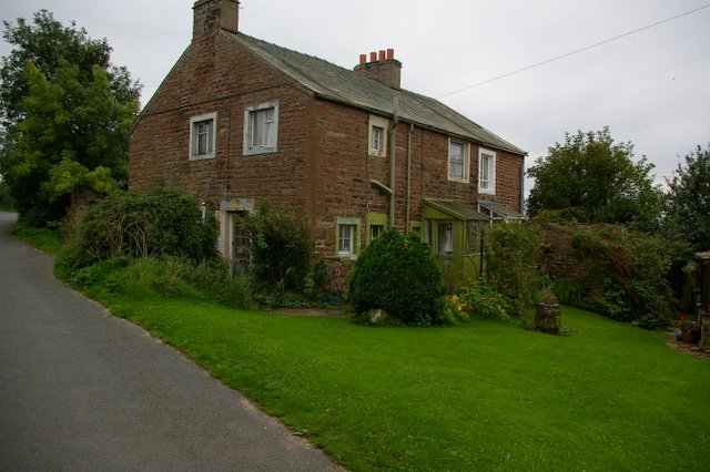
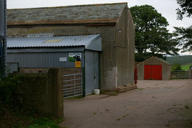
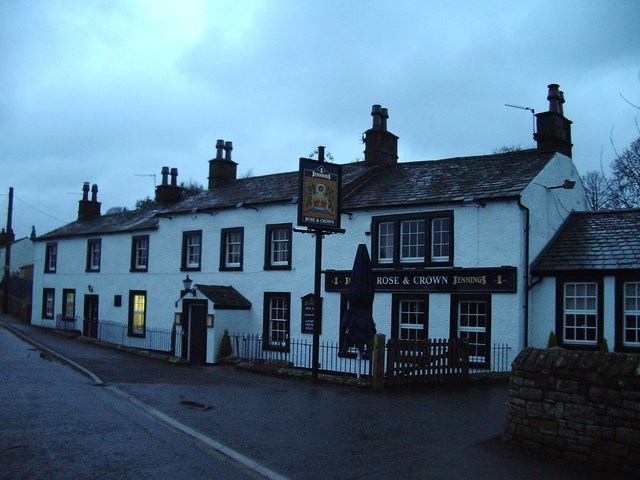
Barrock Fell Images
Images are sourced within 2km of 54.817055/-2.8283324 or Grid Reference NY4647. Thanks to Geograph Open Source API. All images are credited.


Barrock Fell is located at Grid Ref: NY4647 (Lat: 54.817055, Lng: -2.8283324)
Administrative County: Cumbria
District: Eden
Police Authority: Cumbria
What 3 Words
///conforms.manhole.starters. Near Wetheral, Cumbria
Nearby Locations
Related Wikis

Low Hesket
Low Hesket is a village in the English county of Cumbria. Low Hesket is on the A6 road 8+1⁄2 miles (13.7 km) south of Carlisle. This is a former Roman...

Aiketgate
Aiketgate is a small village in the English county of Cumbria. It is within the civil parish of Hesket. Development of wind turbines in the Eden Valley...
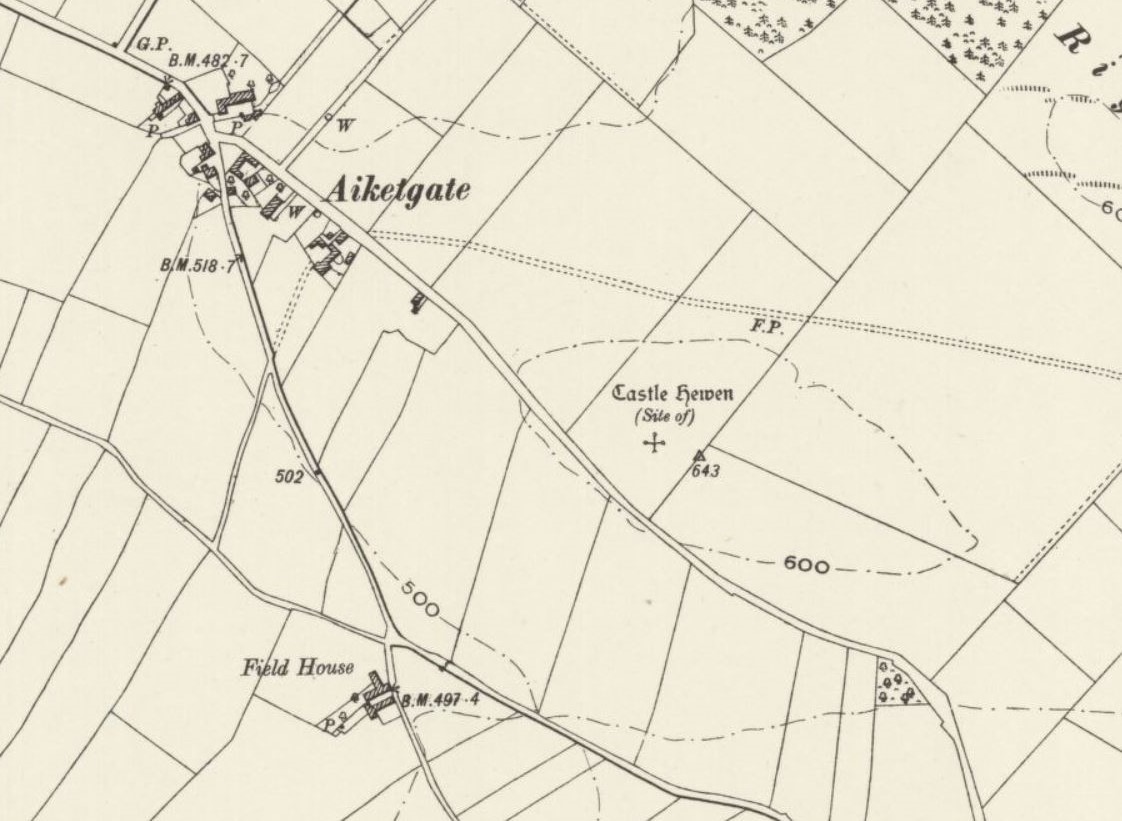
Castle Hewen
Castle Hewen (also recorded as Castlewen; Castle Luen; Castellewyn; Castellewyne; Castlehewings; Castle-Ewaine and Castle Lewen) was a Romano-British castle...

Southwaite
Southwaite is a small village in the parish of Hesket, in the Eden District, in the English county of Cumbria. == Location == It is located on a minor...
Southwaite railway station
Southwaite railway station in Hesket parish, was situated on the Lancaster and Carlisle Railway (the West Coast Main Line) between Carlisle and Penrith...

High Hesket
High Hesket is a village near the A6 road, in the parish of Hesket, in the Eden district, in the English county of Cumbria. The village was on the A6 road...
Cotehill
Cotehill is a village in Cumbria, England. In 1870-72 the township/chapelry had a population of 333. == See also == Cotehill railway station Listed buildings...
Wreay railway station
Wreay railway station in St Cuthbert Without parish, was situated on the Lancaster and Carlisle Railway (the West Coast Main Line) between Carlisle and...
Nearby Amenities
Located within 500m of 54.817055,-2.8283324Have you been to Barrock Fell?
Leave your review of Barrock Fell below (or comments, questions and feedback).