Burgh Hill

Hill, Mountain in Roxburghshire

Scotland

Burgh Hill

Grazing land at Dodburn in Roxburghshire The declevity seen across the photograph is the path of the Allan Water.
Grazing land at Dodburn in Roxburghshire Credit: James Denham

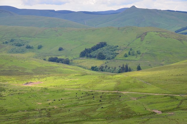
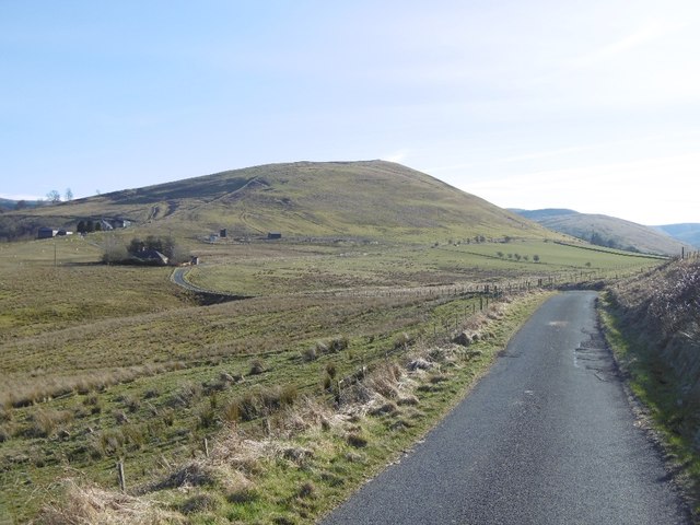
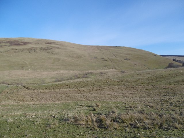
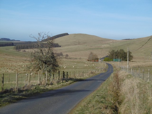
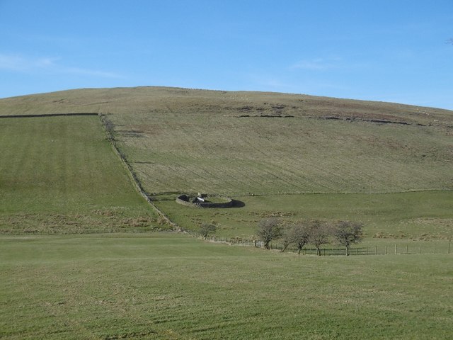
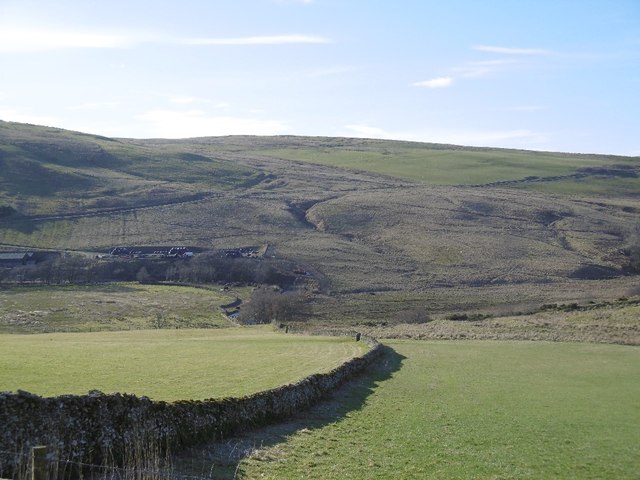
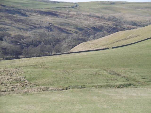
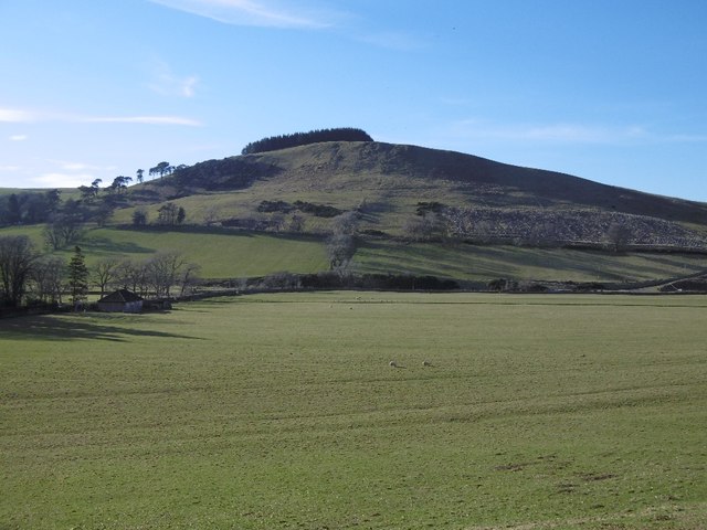
Burgh Hill is a prominent hill located in Roxburghshire, a historic county in the Scottish Borders region of Scotland. Standing at an elevation of approximately 300 meters (984 feet), it offers stunning panoramic views of the surrounding countryside.

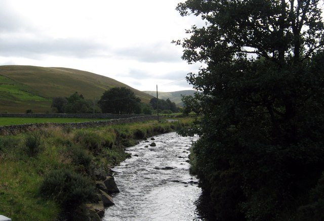
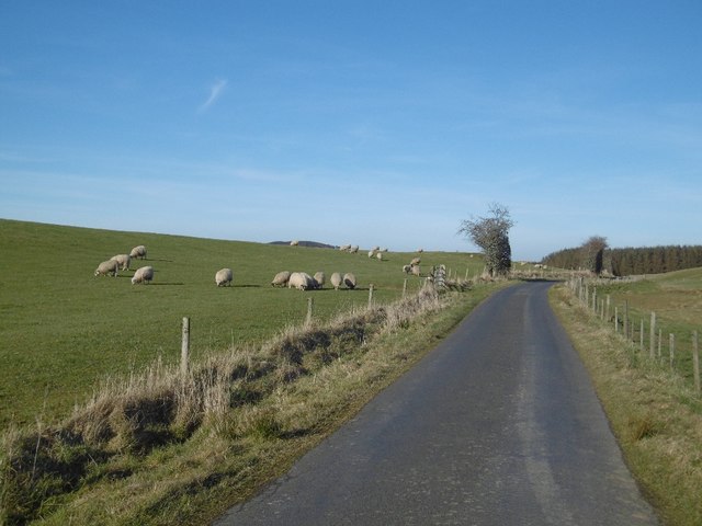
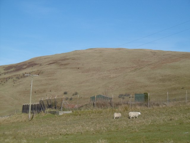
Covered in heather and grass, Burgh Hill is a popular destination for hikers and nature enthusiasts. The hill features several walking trails, varying in difficulty, that allow visitors to explore its diverse flora and fauna. The area is known for its rich biodiversity, with various bird species, including the iconic red grouse, often spotted in the vicinity.

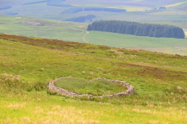
One of the main attractions of Burgh Hill is its historical significance. At its peak, the hill is crowned by the remnants of a prehistoric hill fort, believed to have been built during the Iron Age. The fort's earthwork ramparts and ditches still hold significant archaeological value, providing insights into the ancient inhabitants' defensive strategies and way of life.

In addition to its natural and historical appeal, Burgh Hill also offers opportunities for recreational activities such as picnicking and wildlife photography. The hill's accessible location and well-maintained trails make it a popular spot for families and individuals seeking outdoor adventures or a peaceful retreat.

Overall, Burgh Hill in Roxburghshire combines natural beauty, historical significance, and recreational opportunities, making it an ideal destination for those seeking a mix of adventure and tranquility.

If you have any feedback on the listing, please let us know in the comments section below.
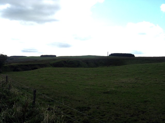
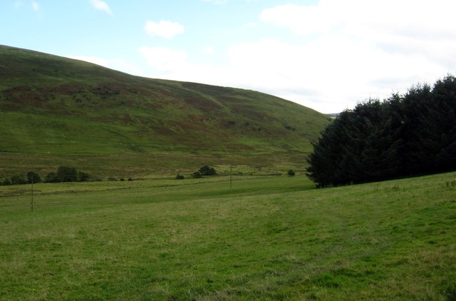
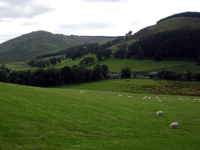
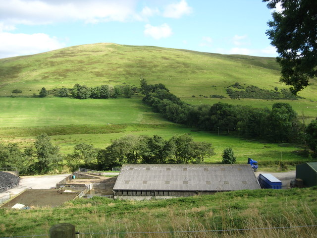
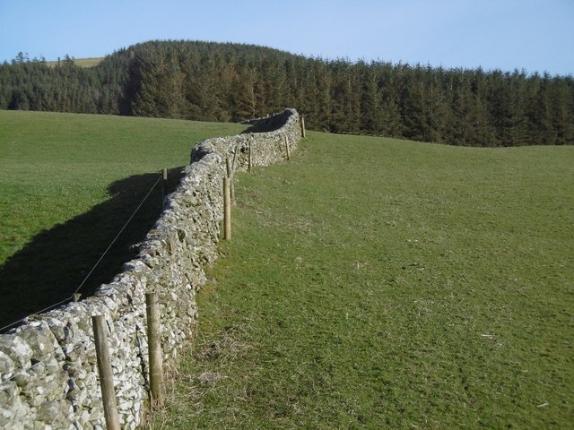
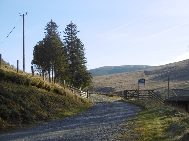
Burgh Hill Images

Images are sourced within 2km of 55.346618/-2.8405825 or Grid Reference NT4606. Thanks to Geograph Open Source API. All images are credited.

Grazing land at Dodburn in Roxburghshire The declevity seen across the photograph is the path of the Allan Water.
Grazing land at Dodburn in Roxburghshire
The declevity seen across the photograph is the path of the Allan Water.
Pasture lands deep in the Roxburghshire hills
A valley of peace in Roxburghshire Near Skelfhill and Priesthaugh.
A valley of peace in Roxburghshire
Near Skelfhill and Priesthaugh.
Looking over industrial buildings to the beautiful hills beyond North of Priesthaugh. To the right of the buildings (out of shot) is a lovely private home which was formerly the Allan Water school.
Looking over industrial buildings to the beautiful hills beyond
North of Priesthaugh. To the right of the buildings (out of shot) is a lovely private home which was formerly the Allan Water school.
The Dod Burn Near Skelfhill Farm in Roxburghshire.
The Dod Burn
Near Skelfhill Farm in Roxburghshire.
Sheepfold on White Hill A traditional style circular drystane sheepfold seen from the track on Penchrise Pen.
Sheepfold on White Hill
A traditional style circular drystane sheepfold seen from the track on Penchrise Pen.
Southwest from Penchrise Pen Looking across the broad ridge crossed by the track heading for the forest plantations at Hawk Hass to the peak of Skelfhill Pen (532m), another of the several prominent summits of resistant igneous rocks dating from the early Carboniferous period. On the intermediate ridge in the centre is Brae Plantation.
Southwest from Penchrise Pen
Looking across the broad ridge crossed by the track heading for the forest plantations at Hawk Hass to the peak of Skelfhill Pen (532m), another of the several prominent summits of resistant igneous rocks dating from the early Carboniferous period. On the intermediate ridge in the centre is Brae Plantation.
Minor road, Dodburn The road serves farms in the hills off Teviotdale.
Minor road, Dodburn
The road serves farms in the hills off Teviotdale.
Dyke, Dodburn
Dyke, Dodburn
The road through Dodburn Hills upstream of Hawick.
The road through Dodburn
Hills upstream of Hawick.
Rough grazing, Dodburn
Dodburn Filter Disused looking waterworks.
Dodburn Filter
Disused looking waterworks.
Yellow road, Dodburn Passing Filter Beds Cottage.
Yellow road, Dodburn
Passing Filter Beds Cottage.
Stell, Dodburn Classic Borders sheepfold.
Stell, Dodburn
Classic Borders sheepfold.
Dyke, Priesthaugh Looking down to the Allan Water.
Dyke, Priesthaugh
Looking down to the Allan Water.
Settlement, Priesthaugh Earthworks beside the Allan Water.
Settlement, Priesthaugh
Earthworks beside the Allan Water.
Priesthaugh Field at the head of the Allan Water.
Priesthaugh
Field at the head of the Allan Water.
Logging road exit, Priesthaugh
Show me another place!

Burgh Hill is located at Grid Ref: NT4606 (Lat: 55.346618, Lng: -2.8405825)

Unitary Authority: The Scottish Borders

Police Authority: The Lothians and Scottish Borders

What 3 Words

///amazed.monday.crest. Near Teviothead, Scottish Borders

Nearby Locations

Burgh Hill

Related Wikis

Broadhaugh

Broadhaugh is a hamlet in the Scottish Borders area of Scotland, in the parish of Teviothead, in former Roxburghshire. == See also == List of places in...

Stobs Military Camp

Stobs Camp is a military and internment camp located just outside Hawick in the Scottish Borders. It is an internationally important site due to its level...

Newmill-on-Teviot

Newmill-on-Teviot, commonly called Newmill, is a hamlet in the Scottish Borders, 7 kilometres (4.3 mi) south of Hawick on the River Teviot. The remains...

Branxholme

Branxholme is a hamlet in the Scottish Borders area of Scotland, overlooking the River Teviot, 3 miles (5 kilometres) southwest of Hawick, on the A7 road...

Nearby Amenities

Located within 500m of 55.346618,-2.8405825
Natural: peak
Lat/Long: 55.3468269/-2.8395596
The data included in this document is from www.openstreetmap.org. The data is made available under ODbL.

Have you been to Burgh Hill?

Leave your review of Burgh Hill below (or comments, questions and feedback).