Branxholmpark Hill
Hill, Mountain in Roxburghshire
Scotland
Branxholmpark Hill
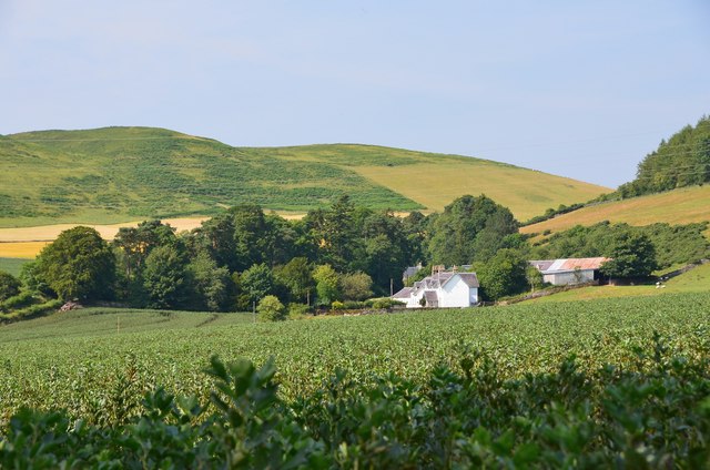
Branxholmpark Hill is a prominent landmark located in Roxburghshire, a historic county in the Scottish Borders region of Scotland. This hill, also known as Branxholme Park Hill, is part of the Southern Uplands range, which stretches across the southern part of Scotland.
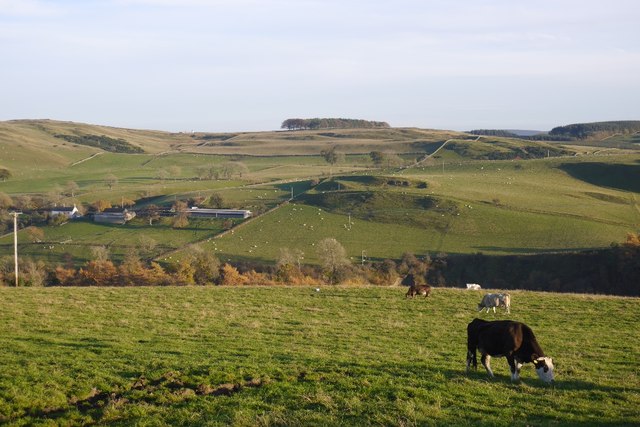
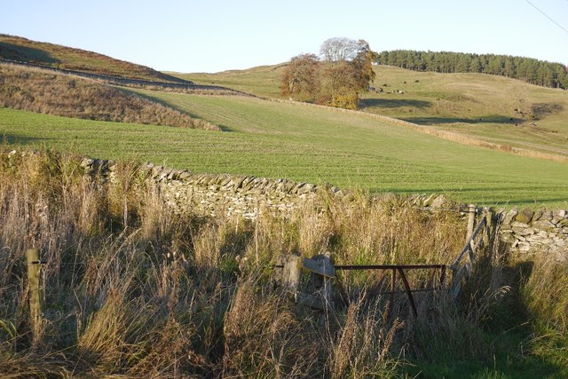
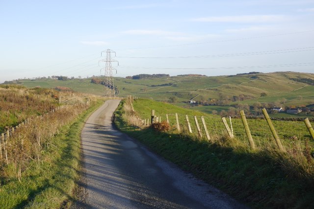
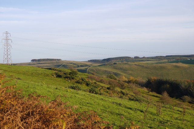
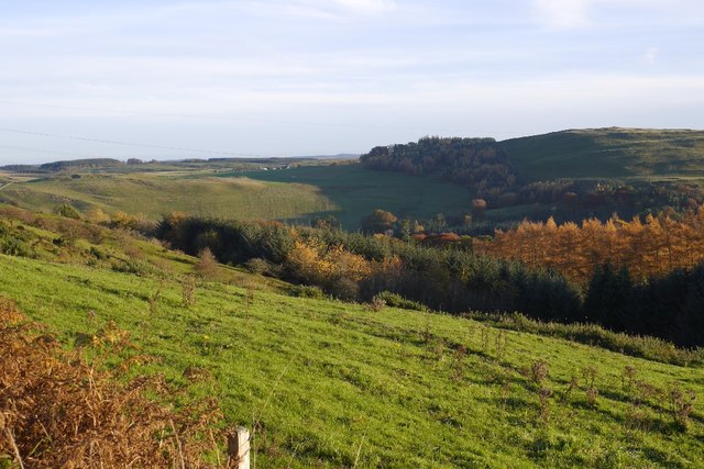
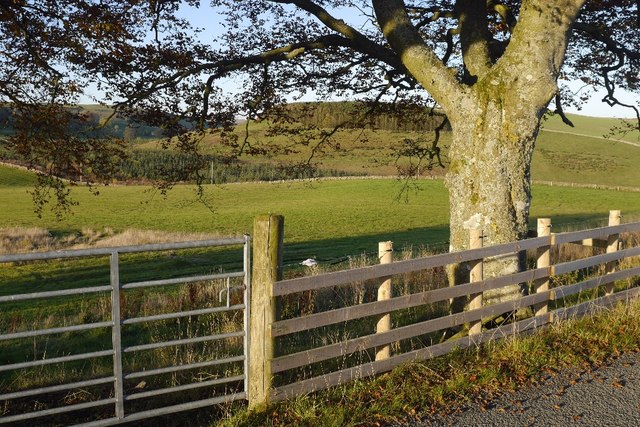
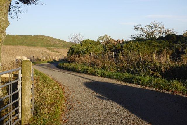
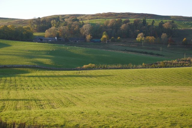
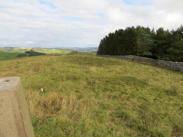
Rising to an elevation of approximately 377 meters (1,237 feet), Branxholmpark Hill offers breathtaking panoramic views of the surrounding countryside. It is characterized by its gentle slopes and rolling landscape, covered in lush grass and scattered with patches of heather and other native flora. The hill's summit provides an excellent vantage point, allowing visitors to admire the natural beauty of the region, including the nearby Teviot Valley.
Branxholmpark Hill holds historical significance as well, as it is believed to have been the site of an ancient fortification. Archaeological evidence suggests that the hill may have been fortified during the Roman occupation of Britain, serving as a strategic lookout point. Today, remnants of these fortifications can still be found, adding to the hill's historical allure.
Outdoor enthusiasts are drawn to Branxholmpark Hill for its recreational opportunities. The hill offers various walking and hiking trails, allowing visitors to explore its slopes and enjoy the tranquility of the countryside. The surrounding area is also known for its rich wildlife, with sightings of birds, deer, and other native species being common.
Overall, Branxholmpark Hill is a picturesque and historically significant landmark in Roxburghshire, offering visitors a chance to immerse themselves in the natural beauty and history of the Scottish Borders.
If you have any feedback on the listing, please let us know in the comments section below.
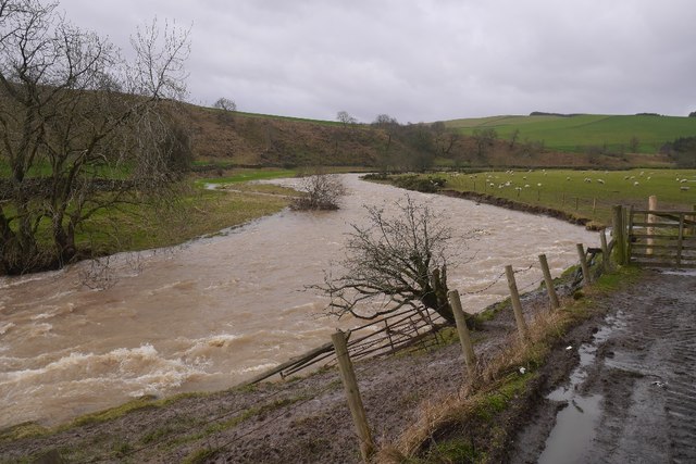
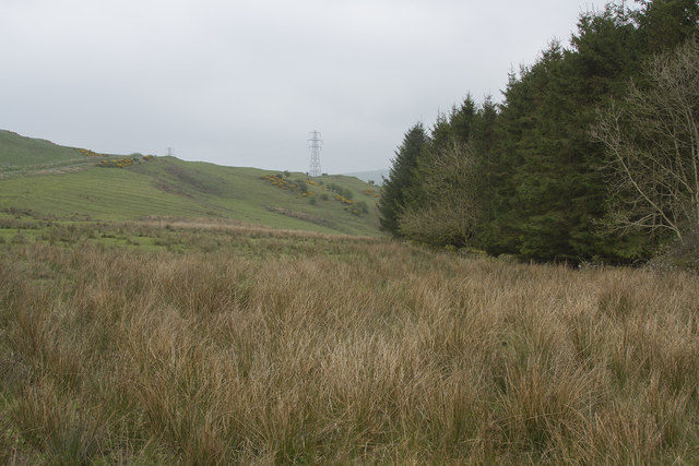
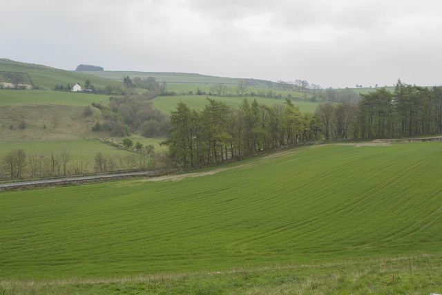
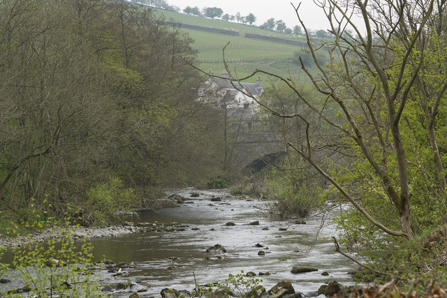
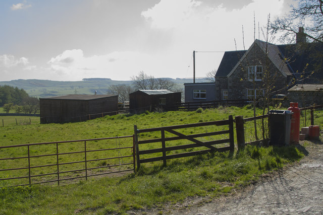
Branxholmpark Hill Images
Images are sourced within 2km of 55.405357/-2.8434559 or Grid Reference NT4612. Thanks to Geograph Open Source API. All images are credited.

Branxholmpark Hill is located at Grid Ref: NT4612 (Lat: 55.405357, Lng: -2.8434559)
Unitary Authority: The Scottish Borders
Police Authority: The Lothians and Scottish Borders
What 3 Words
///deriving.tangling.plantings. Near Hawick, Scottish Borders
Nearby Locations
Related Wikis

Branxholme Castle
Branxholme Castle is a five-storey tower at Branxholme, about 3 miles south-west of Hawick in the Borders region of Scotland. == History == The present...

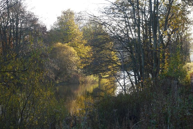
Borthwick Water
The Borthwick Water (Border Scots: Borthwick Witter) is a river in the Scottish Borders area of Scotland, and a tributary of the River Teviot. The Aithouse...

Branxholme
Branxholme is a hamlet in the Scottish Borders area of Scotland, overlooking the River Teviot, three miles southwest of Hawick, on the A7 road to Langholm...

Newmill-on-Teviot
Newmill-on-Teviot, commonly called Newmill, is a hamlet in the Scottish Borders, 7 kilometres (4.3 mi) south of Hawick on the River Teviot. The remains...

Harden Castle
Harden Castle is a 16th century tower house, about 3.5 miles (5.6 km) west of Hawick, Scottish Borders. It is alternatively known as Harden House or Harden...
Wilton Dean
Wilton Dean is a village in the Scottish Borders area of Scotland, on the Cala Burn, and close to the River Teviot. Along with Stirches and...

Hawick Cottage Hospital
Hawick Cottage Hospital was a health facility at Buccleuch Road in Hawick, Scotland. It was managed by NHS Borders. It is a Category B listed building...
Hawick High School
Hawick High School is a non-denominational secondary school in Hawick, in the Scottish Borders. As well as serving the town, it also takes in pupils from...
Nearby Amenities
Located within 500m of 55.405357,-2.8434559Have you been to Branxholmpark Hill?
Leave your review of Branxholmpark Hill below (or comments, questions and feedback).