Borthaugh Hill

Hill, Mountain in Roxburghshire

Scotland

Borthaugh Hill

Lane to Wiltonburn farm Junction with the minor road to Wilton Dean. The sign advertises Country Cashmeres and Farmhouse B&B at Wiltonburn.
Lane to Wiltonburn farm Credit: Jim Barton

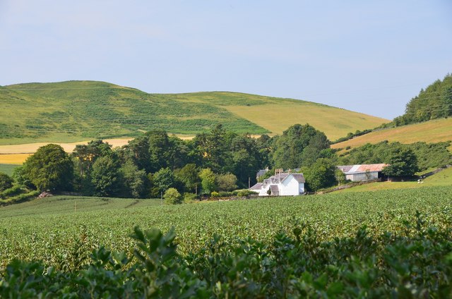
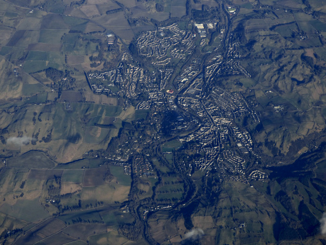
Borthaugh Hill is a notable landmark located in the county of Roxburghshire, Scotland. Standing at an elevation of approximately 287 meters (942 feet), it is classified as a hill rather than a mountain. The hill is situated in the southern part of the county, near the village of Bonchester Bridge.

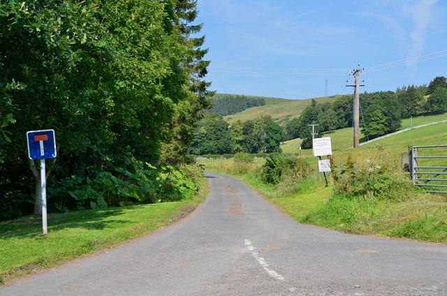
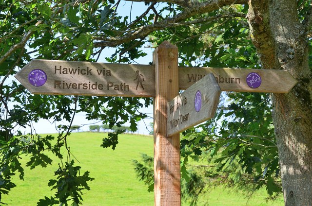
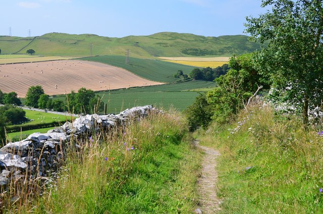
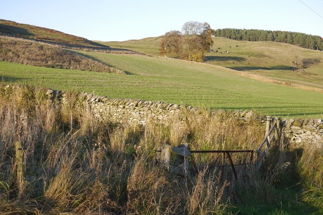
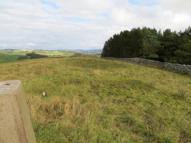
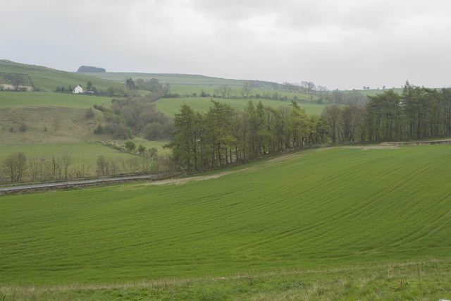
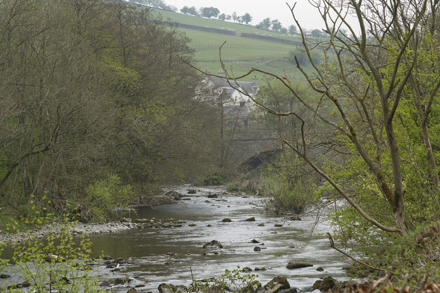
Borthaugh Hill is characterized by its gentle slopes and rolling terrain, making it a relatively easy climb for hikers and outdoor enthusiasts of all skill levels. The hill offers breathtaking panoramic views of the surrounding countryside, with vistas stretching out over the lush valleys and rolling hills of Roxburghshire.

The hill is covered in various types of vegetation, including heather, grasses, and scattered patches of woodland. This diverse flora provides habitat for a range of wildlife species, including birds, small mammals, and insects. It is not uncommon to spot buzzards soaring overhead or hear the calls of songbirds as you explore the hillside.

For those interested in history, Borthaugh Hill is also home to several ancient archaeological sites. The remains of Iron Age hillforts can be found on its slopes, offering insight into the region's human habitation dating back thousands of years.

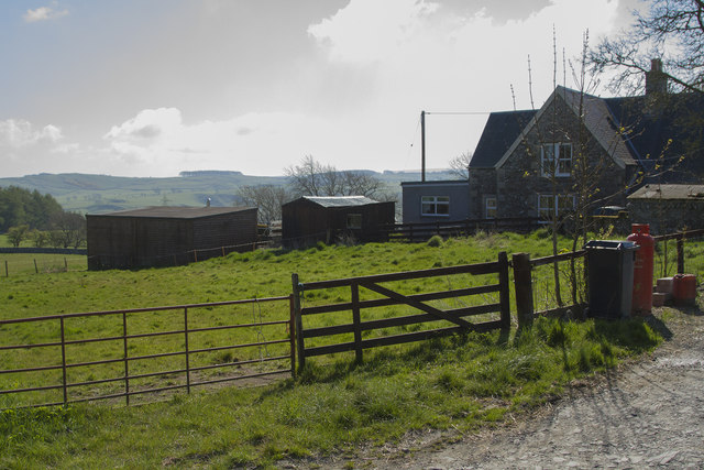
Borthaugh Hill's accessibility and natural beauty make it a popular destination for locals and tourists alike. Whether you are seeking a leisurely hike, a peaceful picnic spot, or a chance to immerse yourself in the area's rich history, this picturesque hill in Roxburghshire has something to offer everyone.

If you have any feedback on the listing, please let us know in the comments section below.

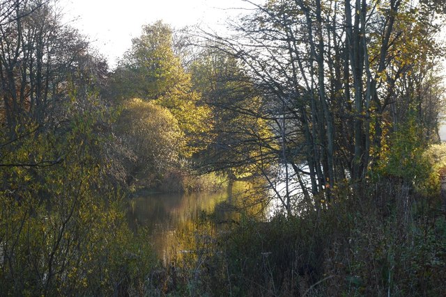
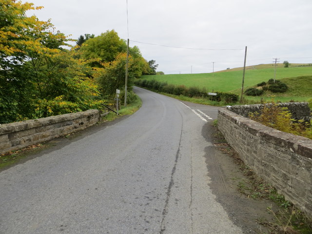
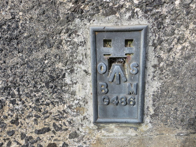
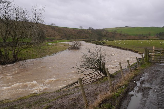
Borthaugh Hill Images

Images are sourced within 2km of 55.418183/-2.8444085 or Grid Reference NT4614. Thanks to Geograph Open Source API. All images are credited.

Lane to Wiltonburn farm Junction with the minor road to Wilton Dean. The sign advertises Country Cashmeres and Farmhouse B&B at Wiltonburn.
Lane to Wiltonburn farm
Junction with the minor road to Wilton Dean. The sign advertises Country Cashmeres and Farmhouse B&B at Wiltonburn.
Footpath signpost near Wilton Burn The purple badges mark the Romans and Reivers Route.
Footpath signpost near Wilton Burn
The purple badges mark the Romans and Reivers Route.
Wiltonburn farm Seen from the path near Brieryhill.
Wiltonburn farm
Seen from the path near Brieryhill.
Cross Borders Drove Road Quite narrow for a drove road, the path runs between stone walls on the E side of Wiltonburn Hill.
Cross Borders Drove Road
Quite narrow for a drove road, the path runs between stone walls on the E side of Wiltonburn Hill.
Path meets minor road above Wilton Dean The Cross Borders Drove Road meets the road coming up from Wilton Dean to Whitehaugh.
Path meets minor road above Wilton Dean
The Cross Borders Drove Road meets the road coming up from Wilton Dean to Whitehaugh.
River Teviot Downstream of Martin's Bridge.
River Teviot
Downstream of Martin's Bridge.
Branxholmpark Hill Grass fields above the Teviot, upstream of Hawick.
Branxholmpark Hill
Grass fields above the Teviot, upstream of Hawick.
Ordnance Survey Flush Bracket G488 This partly hidden Flush Bracket can be found on the parapet wall of Harden Bridge.
For more detail see : <span class="nowrap"><a title="http://www.bench-marks.org.uk/bm13079" rel="nofollow ugc noopener" href="http://www.bench-marks.org.uk/bm13079">Link</a><img style="margin-left:2px;" alt="External link" title="External link - shift click to open in new window" src="https://s1.geograph.org.uk/img/external.png" width="10" height="10"/></span>
Ordnance Survey Flush Bracket G488
This partly hidden Flush Bracket can be found on the parapet wall of Harden Bridge. For more detail see : LinkExternal link
Road (B711) at Harden Bridge Looking westward.
Road (B711) at Harden Bridge
Looking westward.
Ordnance Survey Flush Bracket G486 This can be found on the retaining wall of Branxholm Bridge.
For more detail see : <span class="nowrap"><a title="http://www.bench-marks.org.uk/bm20289" rel="nofollow ugc noopener" href="http://www.bench-marks.org.uk/bm20289">Link</a><img style="margin-left:2px;" alt="External link" title="External link - shift click to open in new window" src="https://s1.geograph.org.uk/img/external.png" width="10" height="10"/></span>
Ordnance Survey Flush Bracket G486
This can be found on the retaining wall of Branxholm Bridge. For more detail see : LinkExternal link
Wall-side view from Branxholmpark Hill Triangulation Pillar Looking north-eastward.
Wall-side view from Branxholmpark Hill Triangulation Pillar
Looking north-eastward.
Spate, Borthwick Water For the last couple of months the Teviot and its tributaries had been running high with occasional damaging flooding.
Spate, Borthwick Water
For the last couple of months the Teviot and its tributaries had been running high with occasional damaging flooding.
Field, Highchesters Hillside above the Borthwick Water.
Field, Highchesters
Hillside above the Borthwick Water.
Improved pasture Looking down across improved pasture to the A7 road. This is close to Branxholm Bridge.
Improved pasture
Looking down across improved pasture to the A7 road. This is close to Branxholm Bridge.
Martin's Bridge The bridge carries the A7 across the River Teviot. We walked along the river from the middle of Hawick and werepleased to see Goosander, Dipper, many Wagtail Pied and Grey and a Bullfinch as well as many other more common birds.
Martin's Bridge
The bridge carries the A7 across the River Teviot. We walked along the river from the middle of Hawick and werepleased to see Goosander, Dipper, many Wagtail Pied and Grey and a Bullfinch as well as many other more common birds.
A sharp bend on the River Teviot Where I stood to take this photo was under water in 2015. So different from the peaceful riverside walk of today.
A sharp bend on the River Teviot
Where I stood to take this photo was under water in 2015. So different from the peaceful riverside walk of today.
A farm lane and buildings The houses are visible but none of the barns and other buildings of the farm yard.
A farm lane and buildings
The houses are visible but none of the barns and other buildings of the farm yard.
Hawick from the air The River Teviot can be seen running through the centre of the town.
Hawick from the air
The River Teviot can be seen running through the centre of the town.
Show me another place!

Borthaugh Hill is located at Grid Ref: NT4614 (Lat: 55.418183, Lng: -2.8444085)

Unitary Authority: The Scottish Borders

Police Authority: The Lothians and Scottish Borders

What 3 Words

///carting.enlighten.bonkers. Near Hawick, Scottish Borders

Nearby Locations

Borthaugh Hill

Related Wikis

Borthwick Water

The Borthwick Water (Border Scots: Borthwick Witter) is a river in the Scottish Borders area of Scotland, and a tributary of the River Teviot. The Aithouse...

Harden Castle

Harden Castle is a 16th century tower house, about 3.5 miles (5.6 km) west of Hawick, Scottish Borders. It is alternatively known as Harden House or Harden...

Branxholme Castle

Branxholme Castle is a five-storey tower at Branxholme, about 3 miles south-west of Hawick in the Borders region of Scotland. == History == The present...

Wilton Dean

Wilton Dean is a village in the Scottish Borders area of Scotland, on the Cala Burn, and close to the River Teviot. Along with Stirches and...

Hawick Cottage Hospital

Hawick Cottage Hospital was a health facility at Buccleuch Road in Hawick, Scotland. It was managed by NHS Borders. It is a Category B listed building...

Branxholme

Branxholme is a hamlet in the Scottish Borders area of Scotland, overlooking the River Teviot, three miles southwest of Hawick, on the A7 road to Langholm...

Hawick High School

Hawick High School is a non-denominational secondary school in Hawick, in the Scottish Borders. As well as serving the town, it also takes in pupils from...

Hawick Community Hospital

Hawick Community Hospital is a health facility at Victoria Road in Hawick, Scotland. It is managed by NHS Borders. == History == The hospital was commissioned...

Nearby Amenities

Located within 500m of 55.418183,-2.8444085
Borthaugh Hill
Natural: peak
Lat/Long: 55.4179737/-2.844981
Power: pole
Lat/Long: 55.4208731/-2.8397621
Power: pole
Lat/Long: 55.4222965/-2.8453105
Power: pole
Lat/Long: 55.4211775/-2.8408994
Power: pole
Lat/Long: 55.4220361/-2.8443055
Power: pole
Lat/Long: 55.4214698/-2.8421439
Power: pole
Lat/Long: 55.4218473/-2.8467195
Power: pole
Lat/Long: 55.4215185/-2.8478406
Power: pole
Lat/Long: 55.4211366/-2.849071
Power: pole
Lat/Long: 55.4207627/-2.8503746
Power: pole
Lat/Long: 55.4202877/-2.8513427
Power: pole
Lat/Long: 55.4217759/-2.8433096
Power: pole
Lat/Long: 55.4206068/-2.8388142
The data included in this document is from www.openstreetmap.org. The data is made available under ODbL.

Have you been to Borthaugh Hill?

Leave your review of Borthaugh Hill below (or comments, questions and feedback).