Bedda Hill

Hill, Mountain in Roxburghshire

Scotland

Bedda Hill

A poignant gravestone at Ettleton Cemetery The main inscription reads:

SACRED
TO THE
MEMORY
OF
JANET SCOTT
DAUGHTER OF
HELEN SCOTT
WHO DIED AT
NEWCASTLETON
14TH MARCH
1863
AGED 2 YEARS
AND 
8 MONTHS.

The inscription above with a hand holding open the Holy Bible reads:

Suffer little
Children,
and forbid
them not,
to come
unto me;
for of 
such 
is the
kingdom 
of Heaven.
A poignant gravestone at Ettleton Cemetery Credit: Walter Baxter

Bedda Hill is a prominent geographical feature located in Roxburghshire, a historic county in the Scottish Borders region of Scotland. Situated within the Southern Uplands, Bedda Hill is categorized as a hill or mountain, depending on varying definitions of elevation.

Rising to an approximate height of 320 meters (1,050 feet), Bedda Hill offers breathtaking panoramic views of the surrounding countryside. Its location near the village of Bedrule provides easy access to outdoor enthusiasts and nature lovers who seek to explore its natural beauty. The hill is known for its diverse flora and fauna, including heather, grasses, and various species of birds.

A network of well-marked trails and paths crisscrosses the landscape, allowing visitors to embark on invigorating walks, hikes, or hill climbs. These routes are suitable for individuals of varying fitness levels, offering both gentle slopes and steeper inclines to cater to different preferences.

The summit of Bedda Hill provides a rewarding experience, granting visitors unobstructed views of the surrounding valleys, farmland, and the distant Cheviot Hills. On clear days, it is even possible to catch glimpses of the Northumberland coast.

Bedda Hill is not only a haven for outdoor activities but also serves as a historical landmark. The nearby ancient fort, known as Bedrule Castle, adds an extra layer of intrigue to the area, with remnants of its medieval structure still visible.

Overall, Bedda Hill in Roxburghshire is a cherished natural asset, offering a memorable experience for those seeking to immerse themselves in the beauty of the Scottish countryside.

If you have any feedback on the listing, please let us know in the comments section below.
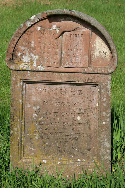
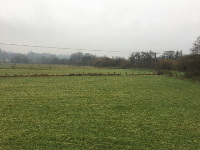
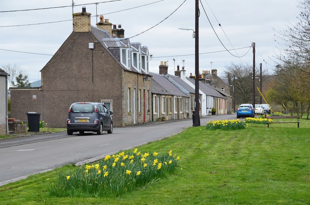
Bedda Hill Images

Images are sourced within 2km of 55.182298/-2.8405425 or Grid Reference NY4687. Thanks to Geograph Open Source API. All images are credited.

A poignant gravestone at Ettleton Cemetery The main inscription reads:

SACRED
TO THE
MEMORY
OF
JANET SCOTT
DAUGHTER OF
HELEN SCOTT
WHO DIED AT
NEWCASTLETON
14TH MARCH
1863
AGED 2 YEARS
AND 
8 MONTHS.

The inscription above with a hand holding open the Holy Bible reads:

Suffer little
Children,
and forbid
them not,
to come
unto me;
for of 
such 
is the
kingdom 
of Heaven.
A poignant gravestone at Ettleton Cemetery
The main inscription reads: SACRED TO THE MEMORY OF JANET SCOTT DAUGHTER OF HELEN SCOTT WHO DIED AT NEWCASTLETON 14TH MARCH 1863 AGED 2 YEARS AND 8 MONTHS. The inscription above with a hand holding open the Holy Bible reads: Suffer little Children, and forbid them not, to come unto me; for of such is the kingdom of Heaven.
Fields beside the Liddel Water
Boosie Plantation A wooded bit of steep ground outside Newcastleton. The still closed section of the Waverley Line ran beneath the slope.
Boosie Plantation
A wooded bit of steep ground outside Newcastleton. The still closed section of the Waverley Line ran beneath the slope.
Moorland above Newcastleton View across Liddesdale towards Glendhu Hill in England.
Moorland above Newcastleton
View across Liddesdale towards Glendhu Hill in England.
Moorland above Newcastleton Very rough ground between Ewesdale and Liddesdale.
Moorland above Newcastleton
Very rough ground between Ewesdale and Liddesdale.
Moorland above Newcastleton Old peat workings.
Moorland above Newcastleton
Old peat workings.
Newcastleton to Langholm road The road passes Beda Hill which has better soils than the surrounding moorland.  It is one of numerous outcrops of igneous rock on the moor.
Newcastleton to Langholm road
The road passes Beda Hill which has better soils than the surrounding moorland. It is one of numerous outcrops of igneous rock on the moor.
Moorland above Newcastleton View towards Roan Fell from the Langholm road.
Moorland above Newcastleton
View towards Roan Fell from the Langholm road.
Moorland, Liddesdale North of the Newcastleton to Langholm road.
Moorland, Liddesdale
North of the Newcastleton to Langholm road.
Road, Hog Gill Bulldozed road above Newcastleton.
Road, Hog Gill
Bulldozed road above Newcastleton.
Seat above Bedda Cleuch An iron seat just off the Langholm road.
Seat above Bedda Cleuch
An iron seat just off the Langholm road.
Newcastleton to Langholm road Descent to Newcastleton.
Newcastleton to Langholm road
Descent to Newcastleton.
Descent to Newcastleton The moorland road from Langholm.
Descent to Newcastleton
The moorland road from Langholm.
Douglas Square, Newcastleton It's no surprise to learn that Newcastleton is a planned village, given the wide main street, spacious square and gridiron layout. It was established in 1793 for the third Duke of Buccleuch as a settlement for handloom weavers, on the site of Copshaw Tower, and has the alternative name of Copshaw Holm (from the booklet 'Paths around Newcastleton', Scottish Borders Council 2003). The road is the B6357 Annan to Jedburgh.
Douglas Square, Newcastleton
It's no surprise to learn that Newcastleton is a planned village, given the wide main street, spacious square and gridiron layout. It was established in 1793 for the third Duke of Buccleuch as a settlement for handloom weavers, on the site of Copshaw Tower, and has the alternative name of Copshaw Holm (from the booklet 'Paths around Newcastleton', Scottish Borders Council 2003). The road is the B6357 Annan to Jedburgh.
Riverside path, Newcastleton Approaching Holm Bridge over the Liddel Water.
Riverside path, Newcastleton
Approaching Holm Bridge over the Liddel Water.
South Liddel Street, Newcastleton Cottages facing the green on the west bank of the Liddel Water.
South Liddel Street, Newcastleton
Cottages facing the green on the west bank of the Liddel Water.
South Hermitage Street, Newcastleton Approaching Douglas Square on the main road through the village. Note the Bank of Scotland sign.
South Hermitage Street, Newcastleton
Approaching Douglas Square on the main road through the village. Note the Bank of Scotland sign.
Newcastleton village Newcastleton is a planned village and has a very American grid structure of streets all at right angles to each other. There is a main street, visible in the picture, with side streets off at regular intervals. To the right, behind the houses, runs a river with a footpath along its bank.
Newcastleton village
Newcastleton is a planned village and has a very American grid structure of streets all at right angles to each other. There is a main street, visible in the picture, with side streets off at regular intervals. To the right, behind the houses, runs a river with a footpath along its bank.
Show me another place!

Bedda Hill is located at Grid Ref: NY4687 (Lat: 55.182298, Lng: -2.8405425)

Unitary Authority: The Scottish Borders

Police Authority: The Lothians and Scottish Borders

What 3 Words

///held.lifetimes.kickbacks. Near Langholm, Dumfries & Galloway

Related Wikis

Newcastleton

Newcastleton, also called Copshaw Holm, is a village in Liddesdale, the Scottish Borders, a few miles from the border with England, on the Liddel Water...

Newcastleton railway station

Newcastleton railway station served the village of Newcastleton, Scottish Borders, Scotland from 1862 to 1969 on the Border Union Railway. == History... ==

Castleton, Scottish Borders

Castleton (Scottish Gaelic: Baile Chaisteil) is a civil parish in the Scottish Borders area of Scotland, in the former Roxburghshire, in the extreme south...

Ettleton

Ettleton is a village near Castleton, in the Scottish Borders area of Scotland, in the former Roxburghshire. == Etymology and history == Ettleton Parish...

Nearby Amenities

Located within 500m of 55.182298,-2.8405425
Ford: yes
Lat/Long: 55.1856296/-2.8405514
Bedda Hill
Ele: 255
Natural: peak
Lat/Long: 55.1824714/-2.8407202
Bedda Flow
Place: locality
Lat/Long: 55.1797744/-2.8415731
Park Hill
Ele: 258
Natural: peak
Lat/Long: 55.1789404/-2.8363647
The data included in this document is from www.openstreetmap.org. The data is made available under ODbL.

Have you been to Bedda Hill?

Leave your review of Bedda Hill below (or comments, questions and feedback).