Hazler Hill
Hill, Mountain in Shropshire
England
Hazler Hill

Hazler Hill is a prominent landmark located in Shropshire, England. Rising to an elevation of approximately 230 meters, it is classified as a hill rather than a mountain. Hazler Hill is situated near the town of Church Stretton and offers panoramic views of the surrounding countryside.
The hill is largely covered in grass and scattered with patches of trees, making it a popular spot for hiking and nature enthusiasts. The terrain is relatively gentle, making it accessible to hikers of varying skill levels.
Hazler Hill is also known for its historical significance, with remnants of ancient settlements and burial mounds dating back to the Bronze Age. Archaeological excavations have uncovered artifacts and evidence of human activity on the hill, adding to its cultural importance.
Overall, Hazler Hill is a picturesque and historically significant landmark in Shropshire, attracting visitors and locals alike who seek to enjoy its natural beauty and learn more about its rich history.
If you have any feedback on the listing, please let us know in the comments section below.
Hazler Hill Images
Images are sourced within 2km of 52.531016/-2.790708 or Grid Reference SO4692. Thanks to Geograph Open Source API. All images are credited.


Hazler Hill is located at Grid Ref: SO4692 (Lat: 52.531016, Lng: -2.790708)
Unitary Authority: Shropshire
Police Authority: West Mercia
What 3 Words
///goodnight.rely.wildfires. Near Church Stretton, Shropshire
Nearby Locations
Related Wikis
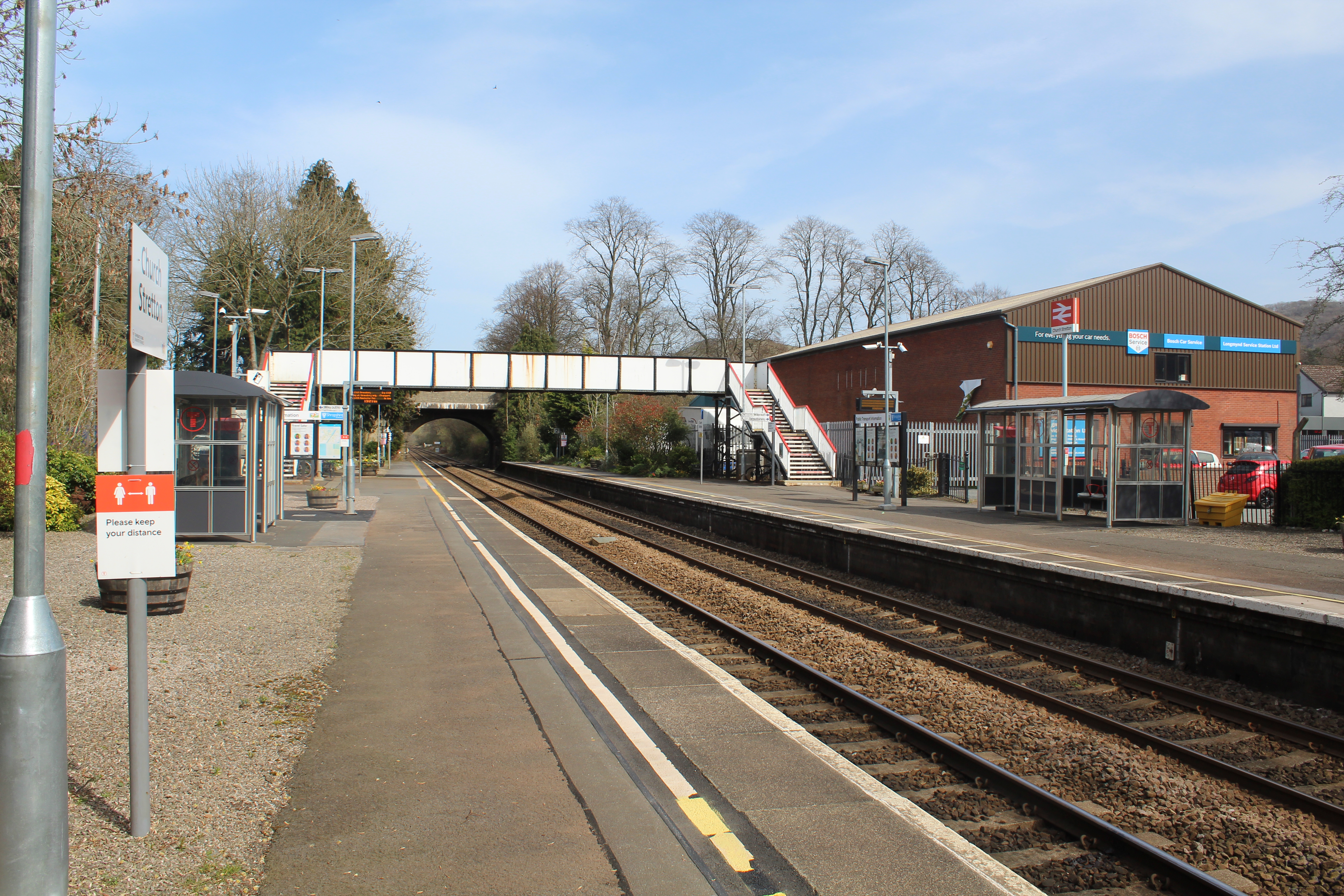
Church Stretton railway station
Church Stretton railway station is a railway station serving the town of Church Stretton in Shropshire, England on the Welsh Marches Line, 12+3⁄4 miles...
Hope Bowdler
Hope Bowdler is a small village and civil parish in Shropshire, England. It is situated on the B4371, 1.5 miles (2.4 km) east of the market town of Church...

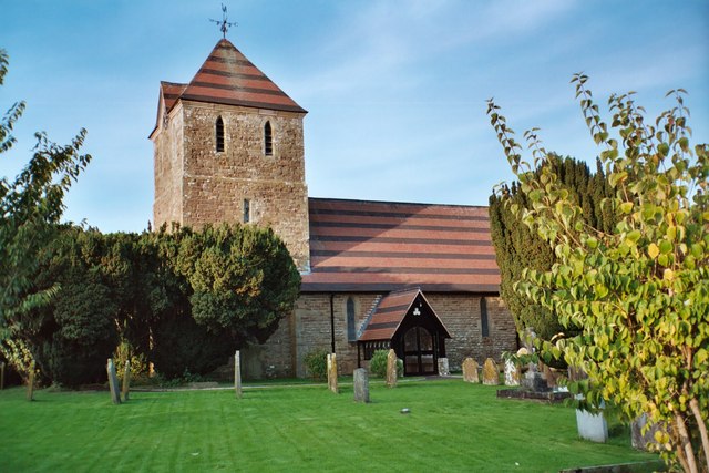
St Laurence's Church, Church Stretton
St Laurence's Church is in Church Street, Church Stretton, Shropshire, England. It is an active Anglican parish church in the deanery of Condover, the...

Church Stretton
Church Stretton is a market town and civil parish in Shropshire, England, 13 miles (21 km) south of Shrewsbury and 15 miles (24 km) north of Ludlow. The...
Nearby Amenities
Located within 500m of 52.531016,-2.790708Have you been to Hazler Hill?
Leave your review of Hazler Hill below (or comments, questions and feedback).