Chapel Hill
Hill, Mountain in Cumberland Eden
England
Chapel Hill
Chapel Hill is a small village located in the northern part of Cumberland County, England. Situated on the slopes of a hill, Chapel Hill offers stunning panoramic views of the surrounding countryside and is often referred to as Chapel Hill Mountain due to its elevated position.
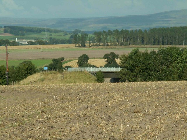
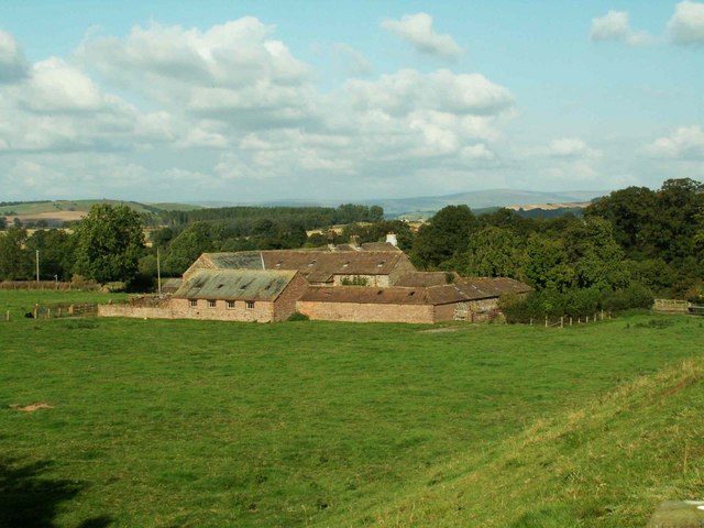
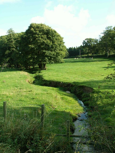
The village is known for its picturesque beauty, characterized by rolling green hills, meandering streams, and a peaceful atmosphere that attracts both locals and tourists alike. The area is rich in natural beauty, with an abundance of wildlife and plant species that thrive in the fertile soil of Chapel Hill.
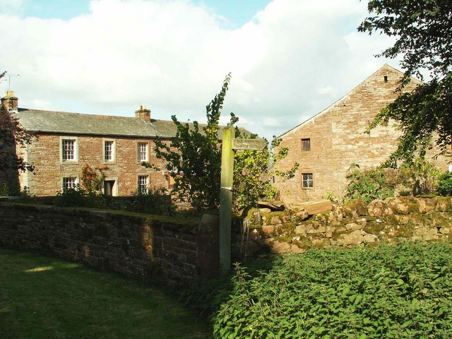
Historically, Chapel Hill was home to a medieval chapel, which gave the village its name. Although the original chapel no longer stands, its presence is still felt through the village's charming architecture and historic landmarks. One such landmark is the Chapel Hill Inn, a traditional English pub that has been serving the community since the 17th century.
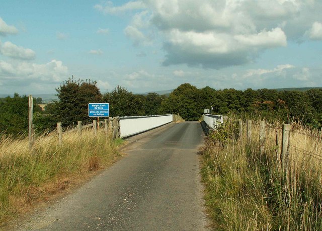
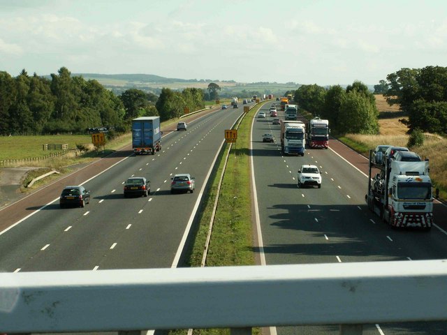
With its proximity to the Lake District National Park, Chapel Hill is a popular base for outdoor enthusiasts. Hiking, biking, and fishing are just a few of the activities that visitors can enjoy in the surrounding countryside. The village also hosts an annual summer fair, where locals and visitors gather to celebrate the vibrant community spirit of Chapel Hill.
In terms of amenities, Chapel Hill offers a range of essential services, including a post office, a small grocery store, and a primary school. However, for more extensive shopping and entertainment options, residents often travel to nearby towns such as Carlisle or Brampton.
Overall, Chapel Hill is a peaceful and picturesque village that offers a tranquil retreat for those seeking a break from the hustle and bustle of city life. Its natural beauty, historic charm, and warm community make it a delightful destination for visitors and a sought-after place to live.
If you have any feedback on the listing, please let us know in the comments section below.
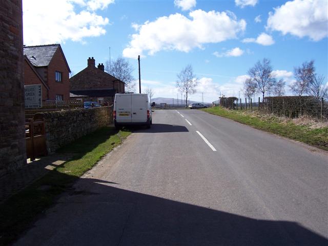
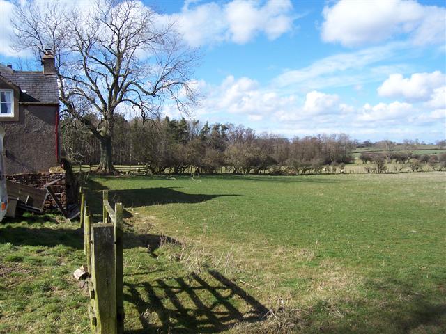
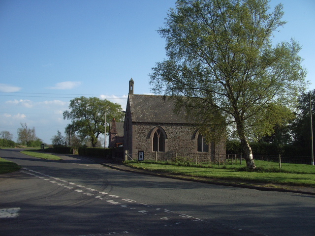
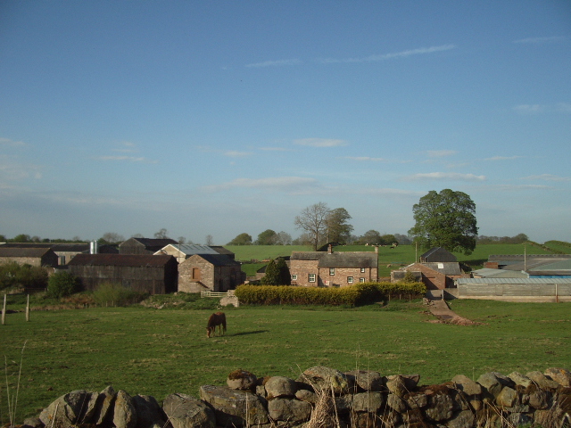
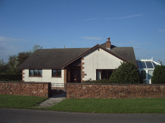
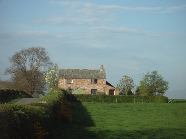
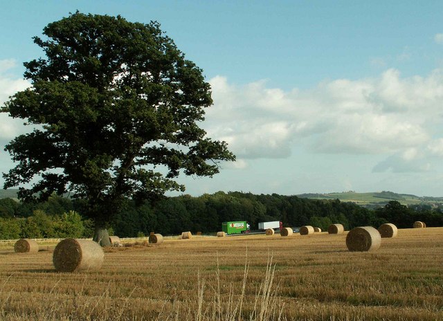
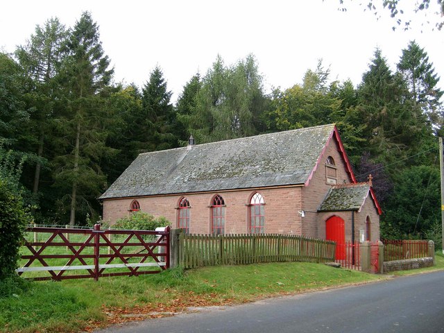
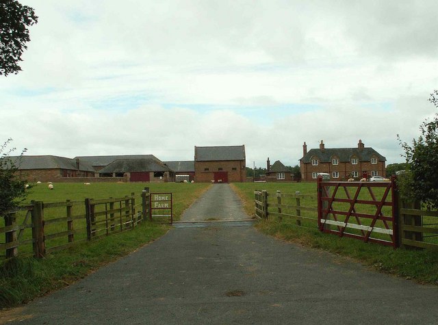
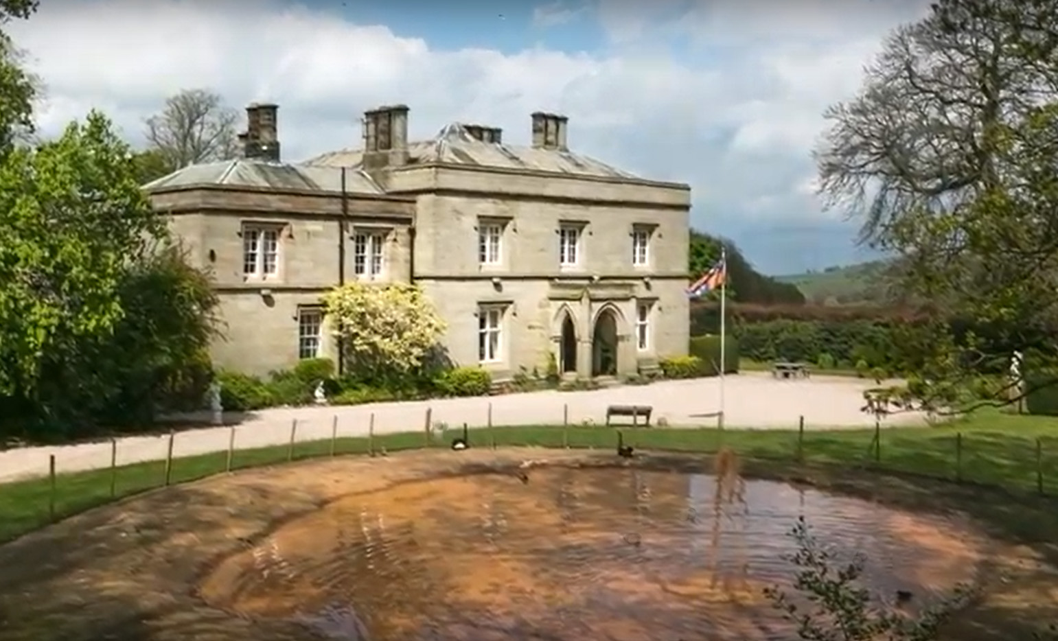
Chapel Hill Images
Images are sourced within 2km of 54.748553/-2.8342506 or Grid Reference NY4639. Thanks to Geograph Open Source API. All images are credited.
Chapel Hill is located at Grid Ref: NY4639 (Lat: 54.748553, Lng: -2.8342506)
Administrative County: Cumbria
District: Eden
Police Authority: Cumbria
What 3 Words
///recorder.mural.most. Near Penrith, Cumbria
Nearby Locations
Related Wikis


Nearby Amenities
Located within 500m of 54.748553,-2.8342506Have you been to Chapel Hill?
Leave your review of Chapel Hill below (or comments, questions and feedback).