Caitha Hill
Hill, Mountain in Roxburghshire
Scotland
Caitha Hill

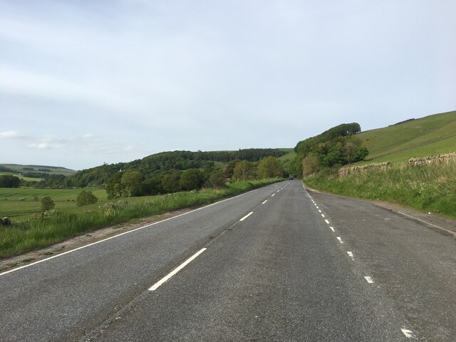
Caitha Hill is a prominent geographical feature located in Roxburghshire, Scotland. Rising to an elevation of approximately 450 meters (1,476 feet), it is classified as a hill, rather than a mountain. It is situated in an area of great natural beauty, surrounded by rolling green hills and picturesque landscapes.
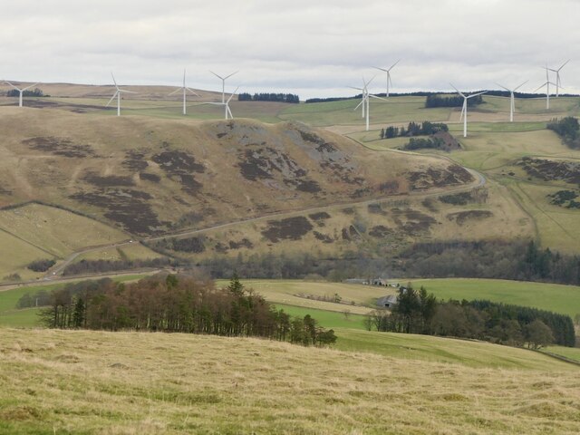
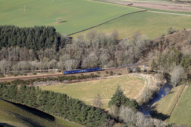
Caitha Hill is known for its panoramic views, offering breathtaking vistas of the surrounding countryside. On a clear day, visitors can enjoy sights stretching as far as the eye can see, with the lush greenery of the Scottish Borders extending to the horizon. The hill also provides an excellent vantage point to observe the nearby River Teviot meandering through the valley below.
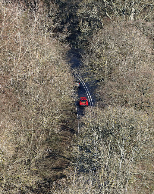
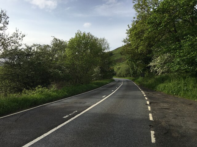
The hill is a popular destination for outdoor enthusiasts, with various walking trails and paths leading to its summit. Hikers and nature lovers can explore the diverse flora and fauna that thrive in the area, including heather, bilberries, and various species of birds. Additionally, Caitha Hill is home to a variety of wildlife, such as deer and rabbits, which can often be spotted amidst the rugged terrain.
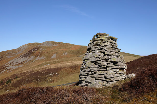
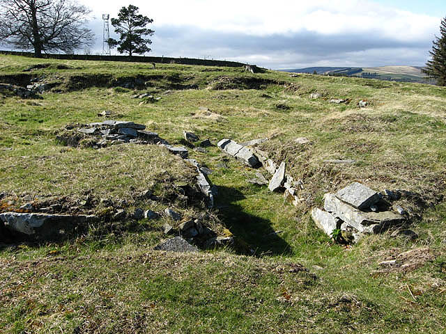
Caitha Hill holds historical significance as well, with remnants of ancient settlements and structures scattered across its slopes. These artifacts provide insight into the rich history and heritage of the region.
Overall, Caitha Hill offers visitors a chance to connect with nature, appreciate stunning views, and explore the historical and natural wonders of Roxburghshire.
If you have any feedback on the listing, please let us know in the comments section below.
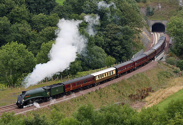
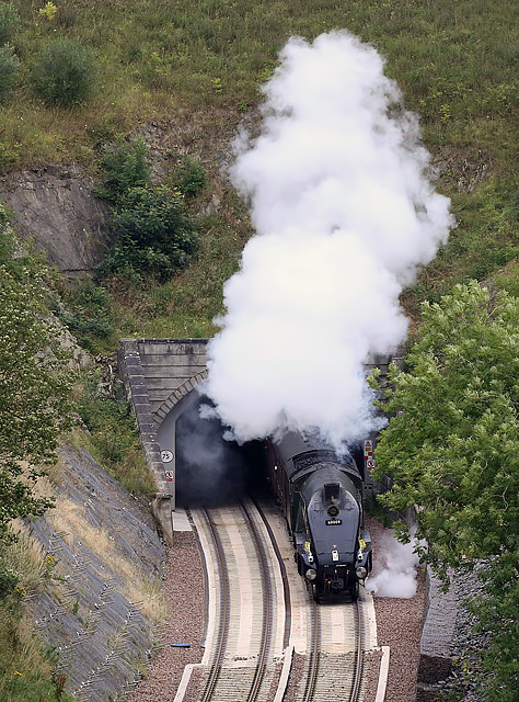
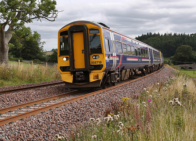
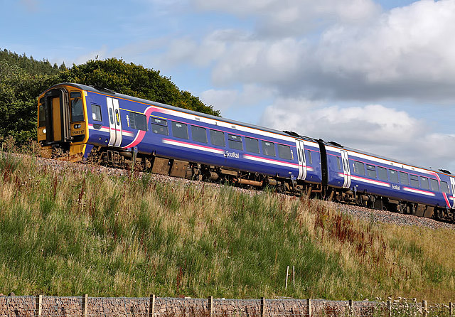
Caitha Hill Images
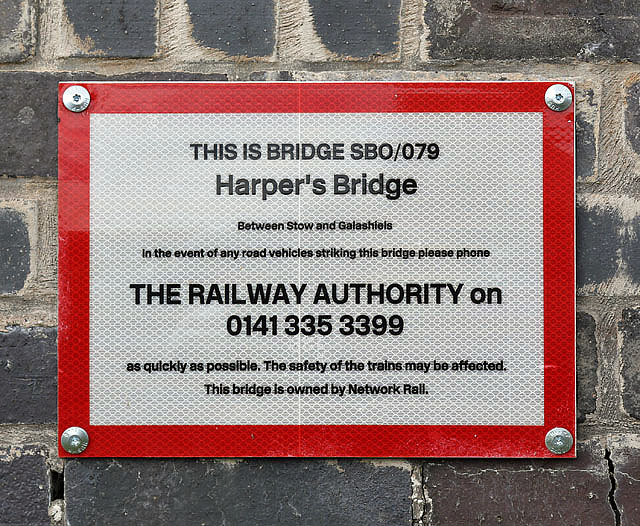
Images are sourced within 2km of 55.658136/-2.8549719 or Grid Reference NT4640. Thanks to Geograph Open Source API. All images are credited.


Caitha Hill is located at Grid Ref: NT4640 (Lat: 55.658136, Lng: -2.8549719)
Unitary Authority: The Scottish Borders
Police Authority: The Lothians and Scottish Borders
What 3 Words
///creatures.basin.rise. Near Galashiels, Scottish Borders
Nearby Locations
Related Wikis

Bow Castle Broch
Bow Castle is the remains of an iron-age broch near the Gala Water, in the Scottish Borders area of Scotland, in the parish of Stow. It is a scheduled...

Bowland railway station
Bowland railway station (Bowland Bridge between May 1849 and July 1862) was a railway station in the village of Bowland, near Galashiels, Scotland. Located...

Bowshank
Bowshank is a village in the Scottish Borders area of Scotland, close to the A7, beside the Gala Water. Nearby are Bow Castle Broch, as well as Buckholm...
Torwoodlee Broch
Torwoodlee Broch is the remains of an iron-age broch located near the town of Galashiels in the Scottish Borders. == Description == Torwoodlee Broch...

Buckholm
Buckholm is a farm near to the A7, in the Scottish Borders, Galashiels area of Scotland. Places nearby include Abbotsford, the Bow Castle Broch, Clovenfords...

Allanshaws
Allanshaws is a place and farm off the B6362, in Lauderdale, by the Allan Water, in the parish of Melrose in the Scottish Borders area of Scotland, formerly...

Stow of Wedale Town Hall
Stow of Wedale Town Hall is a municipal building in Earlston Road, Stow of Wedale, Scottish Borders, Scotland. The structure, which serves as a community...

Stow of Wedale
Stow of Wedale, or more often Stow, is a village in the Scottish Borders area of Scotland (historically Midlothian), 7 miles (11 kilometres) north of...
Nearby Amenities
Located within 500m of 55.658136,-2.8549719Have you been to Caitha Hill?
Leave your review of Caitha Hill below (or comments, questions and feedback).