Cock Cairn

Hill, Mountain in Angus

Scotland

Cock Cairn

Hill of Cat, Pullar Cuy col Slightly eroded ground on the col with Hill of Cat looking towards Pullar Cuy.
Hill of Cat, Pullar Cuy col Credit: Scott Cormie

The requested URL returned error: 429 Too Many Requests

If you have any feedback on the listing, please let us know in the comments section below.
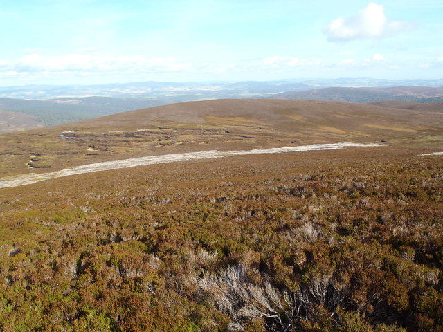
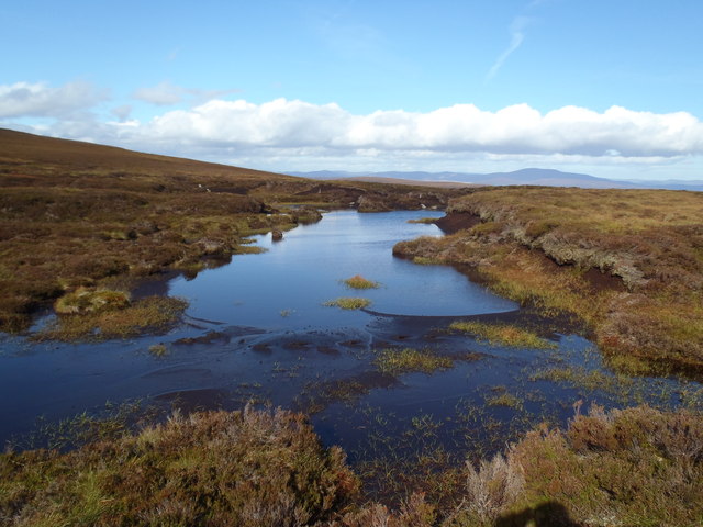
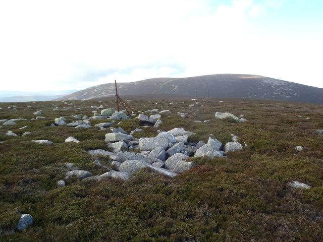
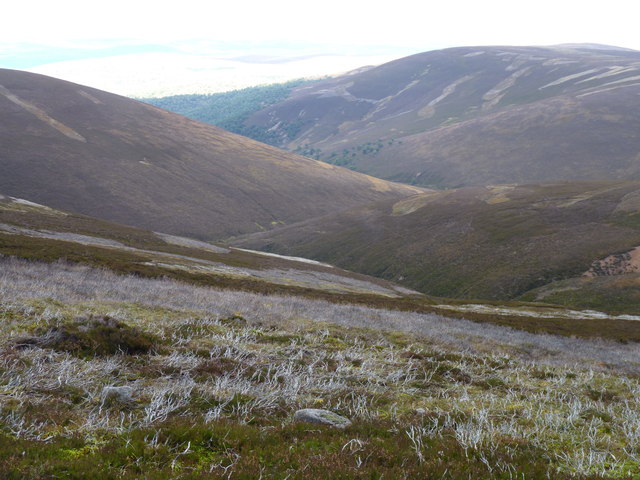
Cock Cairn Images

Images are sourced within 2km of 56.985654/-2.8859151 or Grid Reference NO4688. Thanks to Geograph Open Source API. All images are credited.

Hill of Cat, Pullar Cuy col Slightly eroded ground on the col with Hill of Cat looking towards Pullar Cuy.
Hill of Cat, Pullar Cuy col
Slightly eroded ground on the col with Hill of Cat looking towards Pullar Cuy.
The Clachan Burn
The Clachan Burn
Track leading to Cock Cairn Looking down the track towards Glen Tanar.  The eastern shoulder of Little Cockcairn in the sunlight
Track leading to Cock Cairn
Looking down the track towards Glen Tanar. The eastern shoulder of Little Cockcairn in the sunlight
County Boundary and the Hill of Cat Now the boundary between Angus and Aberdeenshire council areas, formerly the boundary between Grampian and Tayside Regions and originally between Angus and Kincardineshire counties.
County Boundary and the Hill of Cat
Now the boundary between Angus and Aberdeenshire council areas, formerly the boundary between Grampian and Tayside Regions and originally between Angus and Kincardineshire counties.
Wet ground below Cock Cairn
The Cairns of Cock Cairn Braid Cairn and Gathering Hill in the distance
The Cairns of Cock Cairn
Braid Cairn and Gathering Hill in the distance
Little Cockcairn from the northern slopes of Cock Cairn The Black Loch shown on earlier maps no longer exists. It appears to have been swallowed up in the peat bog just beyond the strip of burnt heather.
Little Cockcairn from the northern slopes of Cock Cairn
The Black Loch shown on earlier maps no longer exists. It appears to have been swallowed up in the peat bog just beyond the strip of burnt heather.
Grouse Moor near Cock Cairn
Old Boundary Fence west of Cock Cairn Image taken on the Grampian side.  Braid Cairn in the distance.
Old Boundary Fence west of Cock Cairn
Image taken on the Grampian side. Braid Cairn in the distance.
Lochan north of the Hill of Gairney
Hill of Gairney
Hill of Gairney
The lower slopes of Hill of Cairney and the Water of Cairney
Moorland scene below Cock Cairn
The landrover track below Cock Cairn
The cairn on Little Cock Cairn looking west
Strange wall structures Strange looking wall structures on ridge north of Hill of Gairney
Strange wall structures
Strange looking wall structures on ridge north of Hill of Gairney
Strange wall structures Strange looking wall structures on ridge north of Hill of Gairney
Strange wall structures
Strange looking wall structures on ridge north of Hill of Gairney
Strange wall structures Strange looking wall structures on ridge north of Hill of Gairney
Strange wall structures
Strange looking wall structures on ridge north of Hill of Gairney
Show me another place!

Cock Cairn is located at Grid Ref: NO4688 (Lat: 56.985654, Lng: -2.8859151)

Unitary Authority: Angus

Police Authority: Tayside

What 3 Words

///spent.showering.pushing. Near Aboyne, Aberdeenshire

Nearby Locations

Cock Cairn

Related Wikis

Mount Keen

Mount Keen (Scottish Gaelic: Monadh Caoin) is a 939-metre-high (3,081 ft) mountain in Scotland and the most easterly Munro. It can be accessed from several...
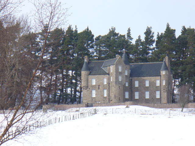
Birse Castle

Birse Castle is located in the Forest of Birse, Aberdeenshire, Scotland. Originally a square tower house, it was rebuilt in the first decade of the 20th...

Glen Mark

Glen Mark is a glen in northern Angus, eastern Scotland, through which the Water of Mark flows. Near the mouth of the glen, at Auchronie, the Water of...

Forest of Birse

The Forest of Birse is a remote upland area in the upper catchment of the Water of Feugh, which forms the south-western portion of the Parish of Birse...

Nearby Amenities

Located within 500m of 56.985654,-2.8859151
Cock Cairn
Ele: 727
Natural: peak
Wikidata: Q20593478
Lat/Long: 56.985706/-2.8859459
The data included in this document is from www.openstreetmap.org. The data is made available under ODbL.

Have you been to Cock Cairn?

Leave your review of Cock Cairn below (or comments, questions and feedback).