Black Hill

Hill, Mountain in Aberdeenshire

Scotland

Black Hill

Cows in field at Botary Mains View over to Smallburn and Heatheryfield (and its road up the hillside) on the opposite side of the Cairnie Burn.
Cows in field at Botary Mains Credit: Alan O'Dowd

Black Hill is a prominent hill located in Aberdeenshire, Scotland. Standing at an elevation of 359 meters (1,178 feet), it is part of the picturesque landscape of the region. The hill is situated just a few miles south of the town of Stonehaven and is easily accessible for both locals and tourists.

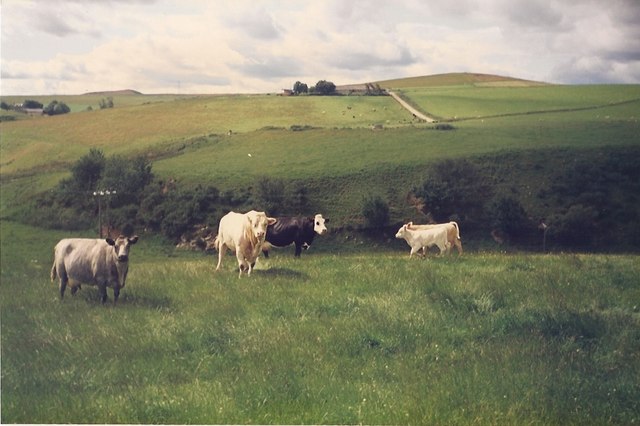
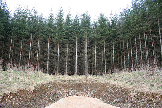
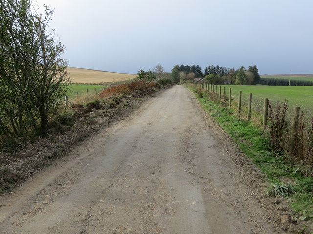
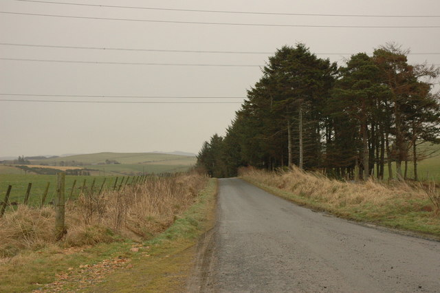
Black Hill offers stunning panoramic views of the surrounding countryside, making it a popular destination for hikers and nature enthusiasts. The landscape is diverse and includes heather-covered moorland, rocky outcrops, and patches of woodland. The hill's summit provides a vantage point from which visitors can admire the beauty of the North Sea coastline and the rolling hills of Aberdeenshire.

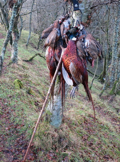
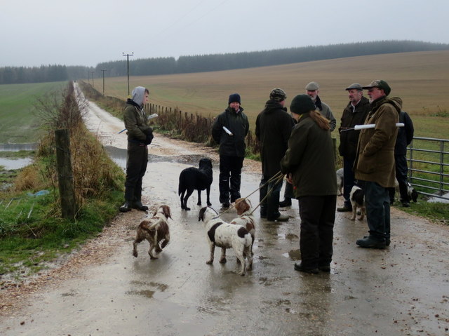
The hill is home to a variety of flora and fauna, with different plant species thriving in its various habitats. Heather, gorse, and bracken are abundant on the moorland, creating a vibrant display of colors during the summer months. Wildlife such as deer, rabbits, and various bird species can also be spotted in the area.

A well-maintained trail leads to the summit of Black Hill, allowing visitors to easily navigate the hill's terrain. The hike is of moderate difficulty and offers a rewarding experience for all levels of fitness. On clear days, the summit provides an ideal spot for picnics or simply enjoying the peaceful surroundings.

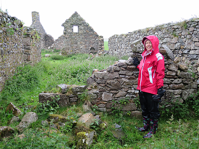
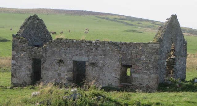
Black Hill is not only a haven for outdoor enthusiasts but also a place of historical significance. The remains of an iron age hillfort can be found on its slopes, adding an extra layer of intrigue to the hill's allure.

If you have any feedback on the listing, please let us know in the comments section below.

Black Hill Images

Images are sourced within 2km of 57.473697/-2.9004649 or Grid Reference NJ4642. Thanks to Geograph Open Source API. All images are credited.

Cows in field at Botary Mains View over to Smallburn and Heatheryfield (and its road up the hillside) on the opposite side of the Cairnie Burn.
Cows in field at Botary Mains
View over to Smallburn and Heatheryfield (and its road up the hillside) on the opposite side of the Cairnie Burn.
Cairnmore One of several ruins of farm and croft buildings at Cairnmore. The scarlet-jacketed figure is a descendant of a family who lived here for about 250 years.
Cairnmore
One of several ruins of farm and croft buildings at Cairnmore. The scarlet-jacketed figure is a descendant of a family who lived here for about 250 years.
Site of Hill of Milleath Recumbent Stone Circle I was rather dreading the challenge of finding this spot, because I was aware from the descriptions of the stone circle here that it had been destroyed in the late 1860s and the site subsequently planted with forestry. After checking the First Edition six-inch map and the satellite view, I fully expected to have to crawl through dense stands of Sitka Spruce after a long wet trek up the hill, with no GPS reception to confirm that I was in the right place. In the event, to my pleasure and great relief, I discovered that the Forestry Commission has constructed a fine new road right to the very spot, which (according to my GPS) is just in the trees in the middle of this view. I did peer more closely into the gloom, but can confirm that there is nothing to be seen of the circle. It is one of three RSCs of which no trace is now visible on the ground, but where there is sufficient documentary evidence to show that there was at one time a recumbent setting, the others being <a href="https://www.geograph.org.uk/photo/4799781">NJ7520 : Site of Ardtannes Cottages Recumbent Stone Circle</a> and <a href="https://www.geograph.org.uk/photo/4712009">NJ5226 : Site of Bankhead Recumbent Stone Circle (1)</a>. See <span class="nowrap"><a title="https://canmore.org.uk/site/17326/hill-of-milleath" rel="nofollow ugc noopener" href="https://canmore.org.uk/site/17326/hill-of-milleath">Link</a><img style="margin-left:2px;" alt="External link" title="External link - shift click to open in new window" src="https://s1.geograph.org.uk/img/external.png" width="10" height="10"/></span> for more details.
Site of Hill of Milleath Recumbent Stone Circle
I was rather dreading the challenge of finding this spot, because I was aware from the descriptions of the stone circle here that it had been destroyed in the late 1860s and the site subsequently planted with forestry. After checking the First Edition six-inch map and the satellite view, I fully expected to have to crawl through dense stands of Sitka Spruce after a long wet trek up the hill, with no GPS reception to confirm that I was in the right place. In the event, to my pleasure and great relief, I discovered that the Forestry Commission has constructed a fine new road right to the very spot, which (according to my GPS) is just in the trees in the middle of this view. I did peer more closely into the gloom, but can confirm that there is nothing to be seen of the circle. It is one of three RSCs of which no trace is now visible on the ground, but where there is sufficient documentary evidence to show that there was at one time a recumbent setting, the others being NJ7520 : Site of Ardtannes Cottages Recumbent Stone Circle and NJ5226 : Site of Bankhead Recumbent Stone Circle (1). See LinkExternal link for more details.
A mixed bag on Alehousehillock This has been the first drive of the day and the birds have been flying well but alas the guns have been in good form. Pheasant and Red-legged partridge are the quarry of the day. It is forbidden to shoot ground game on these occasions.
A mixed bag on Alehousehillock
This has been the first drive of the day and the birds have been flying well but alas the guns have been in good form. Pheasant and Red-legged partridge are the quarry of the day. It is forbidden to shoot ground game on these occasions.
Track to Backside of Ardonald Looking south-westward.
Track to Backside of Ardonald
Looking south-westward.
Beaters await deployment for the second drive In the far distance along the lane you can see the other group of beaters who are positioning to carry out a pincer movement here at the Laura Murphy drive at the Backmuir shoot. During drive one earlier 158 shots were fired by the party of eight guns.
Beaters await deployment for the second drive
In the far distance along the lane you can see the other group of beaters who are positioning to carry out a pincer movement here at the Laura Murphy drive at the Backmuir shoot. During drive one earlier 158 shots were fired by the party of eight guns.
The New Drive complete Beaters exit the gamecrop on completion of this drive. It's late in the season and as the birds have become skittish the drives have become more demanding for these flushers of game.
The New Drive complete
Beaters exit the gamecrop on completion of this drive. It's late in the season and as the birds have become skittish the drives have become more demanding for these flushers of game.
Cairnmore Croft Mid Cairnmore was one of three farm houses at Cairnmore now part of Cairnbarrow Farm. Occupied by four generations of the Leipper family from the 1750s till 1907. Nearby are North Cairnmore and East Cairnmore.
Cairnmore Croft
Mid Cairnmore was one of three farm houses at Cairnmore now part of Cairnbarrow Farm. Occupied by four generations of the Leipper family from the 1750s till 1907. Nearby are North Cairnmore and East Cairnmore.
Hill of Milleath trig
Unclassified road and powerlines
Farm track junction
Farm track junction
Track Near Tullochwhinty It isn't clear from the map what Tullochwhinty is, but it is named on the map to the east (left in this view) of the burn. The grass track is very wet underfoot.
Track Near Tullochwhinty
It isn't clear from the map what Tullochwhinty is, but it is named on the map to the east (left in this view) of the burn. The grass track is very wet underfoot.
Ardonald Lime Kiln The kiln has evidently not been used for some time, though it seems to have been at the heart of an extensive area of workings. It made use of the band of Dalradian limestone which extends intermittently from the coast near Portsoy all the way south-west to Kintyre.
Ardonald Lime Kiln
The kiln has evidently not been used for some time, though it seems to have been at the heart of an extensive area of workings. It made use of the band of Dalradian limestone which extends intermittently from the coast near Portsoy all the way south-west to Kintyre.
Tullochwhinty The burn divides and flows round both sides of the mound in the middle ground. Unfortunately this was definitely a day when wellington boots would have been a good idea, so I was unable to investigate it properly.
Tullochwhinty
The burn divides and flows round both sides of the mound in the middle ground. Unfortunately this was definitely a day when wellington boots would have been a good idea, so I was unable to investigate it properly.
Ruined Building This looks like an abandoned croft house.
Ruined Building
This looks like an abandoned croft house.
Ruins at Ardonald This rickle of stanes is part of the ruins of what may have been a croft house.
Ruins at Ardonald
This rickle of stanes is part of the ruins of what may have been a croft house.
Ardonald The trees are part of a small clump amid the fields here.
Ardonald
The trees are part of a small clump amid the fields here.
Blackhillock This is Blackhillock in the parish of Cairnie, not to be confused with Blackhillock in the next-door parish of Keith.
Blackhillock
This is Blackhillock in the parish of Cairnie, not to be confused with Blackhillock in the next-door parish of Keith.
Show me another place!

Black Hill is located at Grid Ref: NJ4642 (Lat: 57.473697, Lng: -2.9004649)

Unitary Authority: Aberdeenshire

Police Authority: North East

What 3 Words

///weeds.legwork.curtail. Near Huntly, Aberdeenshire

Related Wikis

Ardonald

Ardonald is a rural area near Cairnie in Aberdeenshire, Scotland. == References ==

Cairnie

Cairnie, also written Cairney, (Scottish Gaelic: CĂ rnaidh/A' ChĂ rnaich) is a village in Aberdeenshire, Scotland. It is in the district of Huntly. It has...

Pitlurg Castle

Pitlurg Castle was a 16th-century keep, about 3.5 miles (5.6 km) south of Keith, Banffshire, Scotland, north of the Burn of Davidston, at Mains of Pitlurg...

Torry Burn, Huntly

Torry Burn is a burn which marks the boundary of the parish of Huntly, Aberdeenshire, Scotland. == References ==

Blairmore School

Blairmore School was an independent boarding preparatory school in Glass near Huntly, Aberdeenshire until its closure in 1993. The site is now owned and...

Dunbennan

Dunbennan is a settlement near Huntly, Aberdeenshire, Scotland. The name comes from the Gaelic dun-beinnean, or the fort of the little hill, and originally...

Auchanachie Castle

Auchanachie Castle, also known as Achanachie Castle or Auchanachy Castle, is a tower house dating from the sixteenth century, 5 miles north-west of Huntly...

Clean Pool

Clean Pool was an important boundary marker between the parishes of Huntly and Cairnie, Aberdeenshire, Scotland. It has now been dried up to plant conifer...

Nearby Amenities

Located within 500m of 57.473697,-2.9004649
Black Hill
Ele: 321
Man Made: cairn
Natural: peak
Lat/Long: 57.473693/-2.9005525
Generator Method: wind_turbine
Generator Source: wind
Generator Type: horizontal_axis
Power: generator
Lat/Long: 57.4715085/-2.8937709
Generator Method: wind_turbine
Generator Source: wind
Generator Type: horizontal_axis
Power: generator
Lat/Long: 57.4705335/-2.9005301
Croft of Blackhill
Place: locality
Lat/Long: 57.4728474/-2.9051974
The data included in this document is from www.openstreetmap.org. The data is made available under ODbL.

Have you been to Black Hill?

Leave your review of Black Hill below (or comments, questions and feedback).