Black Hill

Hill, Mountain in Banffshire

Scotland

Black Hill

Road Junction The road to the right isn't on the older maps, but it now links this part of Aultmore forest on the slope of Black Hill to Addie Hill and Stony Slacks. The fanit hill on the horizon is Ben Rinnes.
Road Junction Credit: Anne Burgess

Black Hill is a prominent hill located in the region of Banffshire, Scotland. It is part of the stunning Cairngorms National Park and stands at an elevation of approximately 833 meters (2,733 feet) above sea level. The hill is positioned to the east of the village of Tomintoul and offers breathtaking panoramic views of the surrounding landscape.

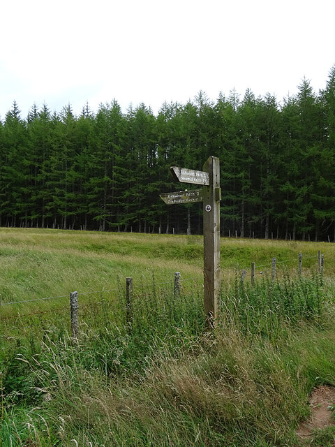
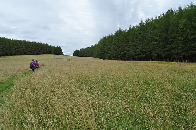
Black Hill is a popular destination for outdoor enthusiasts, particularly hikers and mountaineers. Its relatively accessible route makes it an attractive option for those seeking a challenging yet rewarding climb. The ascent typically begins from the picturesque Glen Avon and follows a well-defined path that gradually gains elevation.

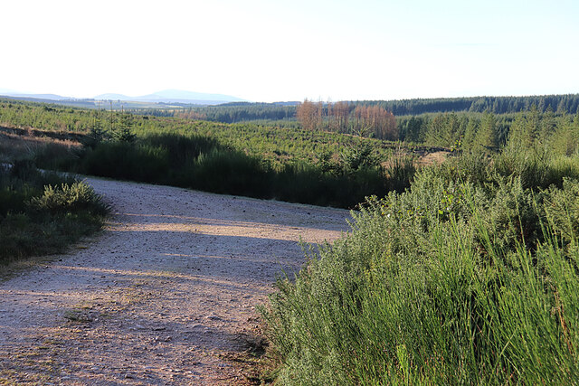
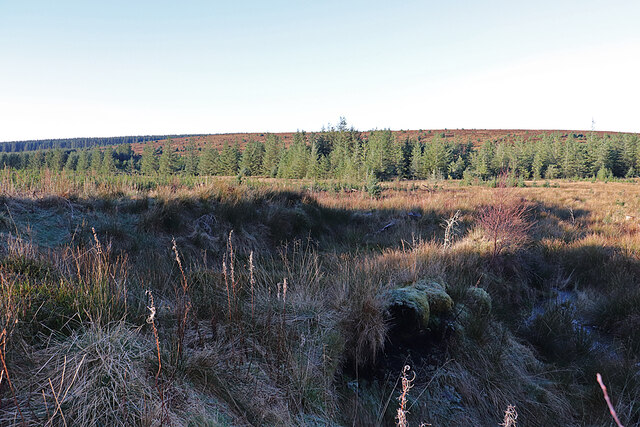
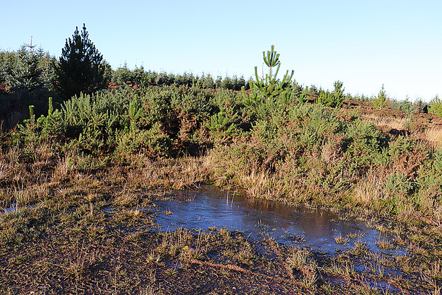
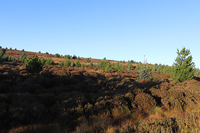
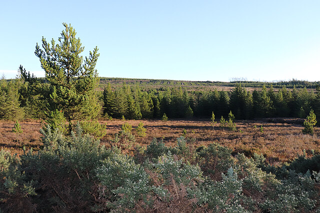
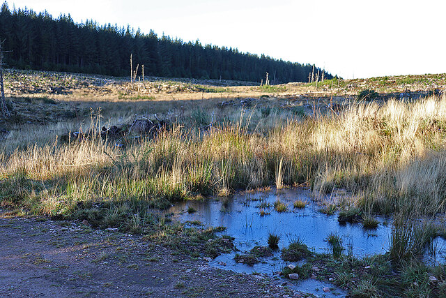
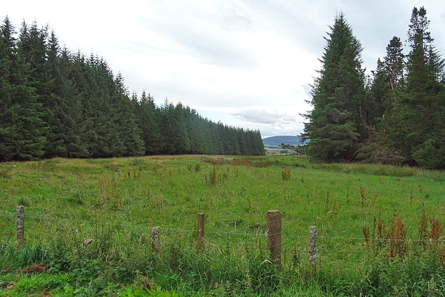
The hill features a rugged terrain with a mixture of grassy slopes, heather-covered moorland, and rocky outcrops. It is home to a diverse range of flora and fauna, including various species of birds, mammals, and plants. The area is especially vibrant during the spring and summer months when wildflowers carpet the hillside.

Reaching the summit of Black Hill provides visitors with an exceptional vantage point to appreciate the surrounding natural beauty. On clear days, one can admire the expansive views of the Cairngorms, the rolling hills of Banffshire, and even glimpse the iconic Ben Rinnes in the distance.

Black Hill offers a tranquil and serene environment, allowing visitors to immerse themselves in the peacefulness of nature. Whether it is a challenging hike or a leisurely stroll, this hill is a must-visit for anyone seeking to explore the rugged beauty of Banffshire.

If you have any feedback on the listing, please let us know in the comments section below.
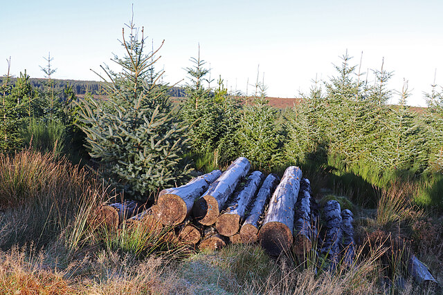
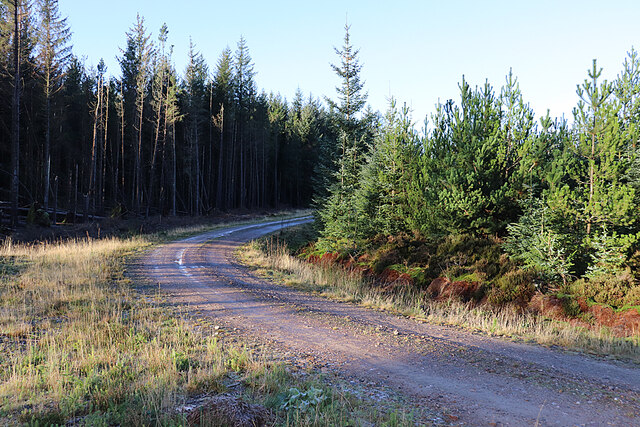
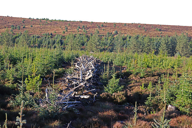
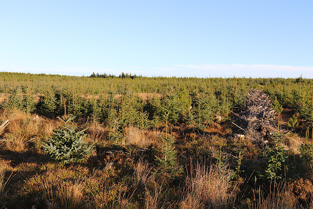
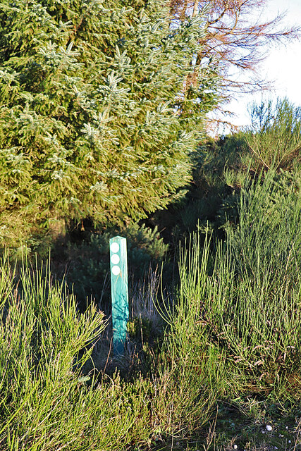
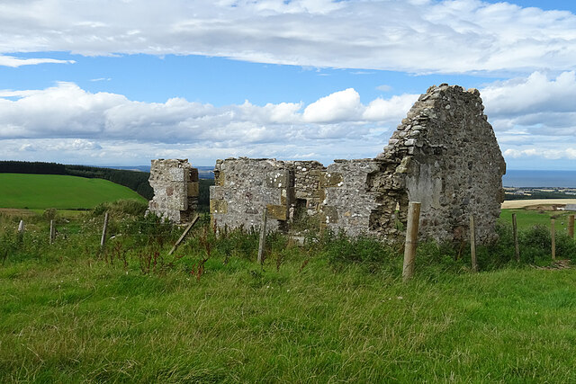
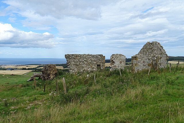
Black Hill Images

Images are sourced within 2km of 57.624459/-2.9065035 or Grid Reference NJ4559. Thanks to Geograph Open Source API. All images are credited.

Road Junction The road to the right isn't on the older maps, but it now links this part of Aultmore forest on the slope of Black Hill to Addie Hill and Stony Slacks. The fanit hill on the horizon is Ben Rinnes.
Road Junction
The road to the right isn't on the older maps, but it now links this part of Aultmore forest on the slope of Black Hill to Addie Hill and Stony Slacks. The fanit hill on the horizon is Ben Rinnes.
Hidden Burn There is a very minor burn lurking in the vegetation here, and shown on the map. In the background is the gentle eminence of Black Hill.
Hidden Burn
There is a very minor burn lurking in the vegetation here, and shown on the map. In the background is the gentle eminence of Black Hill.
Bags of Trees There must be plans for tree planting very soon, because these bags apparently contain tree seedlings.
Bags of Trees
There must be plans for tree planting very soon, because these bags apparently contain tree seedlings.
Old Fir Hill This part of the forest has been felled and looks a bit chaotic.
Old Fir Hill
This part of the forest has been felled and looks a bit chaotic.
Forgotten Logs It's a frosty morning, and hoar frost glistens on the shaded sides of these logs, felled but never collected to be taken to the sawmill.
Forgotten Logs
It's a frosty morning, and hoar frost glistens on the shaded sides of these logs, felled but never collected to be taken to the sawmill.
Forest Road The forest road round Old Fir Hill is slippery with frost the shade of the trees.
Forest Road
The forest road round Old Fir Hill is slippery with frost the shade of the trees.
A Line of Brash The forest harvesters have left rows of unwanted twigs and branches, around which young trees seem to be seeding themselves.
A Line of Brash
The forest harvesters have left rows of unwanted twigs and branches, around which young trees seem to be seeding themselves.
Young Trees and Old Brash Young trees have sprung up between the rows of twigs and branches discarded by the forest harvesters.
Young Trees and Old Brash
Young trees have sprung up between the rows of twigs and branches discarded by the forest harvesters.
Icy Puddle The frost has never lifted today, and this puddle still has a covering of ice in early afternoon. It marks the spot where the newish forest road meets the line of the old one, the latter now looking pretty well impassable to the north.
Icy Puddle
The frost has never lifted today, and this puddle still has a covering of ice in early afternoon. It marks the spot where the newish forest road meets the line of the old one, the latter now looking pretty well impassable to the north.
Black Hill Black Hill rises very gently to 255 metres above sea level, and is covered with heather moor punctuated by non-native conifers.
Black Hill
Black Hill rises very gently to 255 metres above sea level, and is covered with heather moor punctuated by non-native conifers.
Open Ground in Aultmore Forest It looks as if this area has been left unplanted, and this is confirmed by the satellite view.
Open Ground in Aultmore Forest
It looks as if this area has been left unplanted, and this is confirmed by the satellite view.
White Stripe A stripe is another name for a burn, and the White Stripe drains the hollow here, though it's pretty much hidden by the vegetation. The puddle in the foreground is still covered in ice, although it's early afternoon.
White Stripe
A stripe is another name for a burn, and the White Stripe drains the hollow here, though it's pretty much hidden by the vegetation. The puddle in the foreground is still covered in ice, although it's early afternoon.
Waymarker The post indicates a cycle route going left. It bears the number 6, though it's not clear if that is the number of the route or of the individual post. We don't recall noticing any others in Aultmore Forest.
Waymarker
The post indicates a cycle route going left. It bears the number 6, though it's not clear if that is the number of the route or of the individual post. We don't recall noticing any others in Aultmore Forest.
Waymarker At this point the Fishwives' Path rejoins the route originally used by the fishwives on their way to and from Keith.
Waymarker
At this point the Fishwives' Path rejoins the route originally used by the fishwives on their way to and from Keith.
Fishwives' Path The Buckie fishwives walked straight down here on their way to and from Keith, but the waymarked route is diverted wet on forest roads and tracks.
Fishwives' Path
The Buckie fishwives walked straight down here on their way to and from Keith, but the waymarked route is diverted wet on forest roads and tracks.
Addie Hill The Fishwives' Path follows the gap in the forest to the summit of Addie Hill. I looked in vain, again, for the remains of the King's Cairn to the right of the path.
Addie Hill
The Fishwives' Path follows the gap in the forest to the summit of Addie Hill. I looked in vain, again, for the remains of the King's Cairn to the right of the path.
Inkerman This is the identical view to <a href="https://www.geograph.org.uk/photo/6634980">NJ4459 : Inkerman</a>. In the two intervening years the tree and both chimneys have gone.
Inkerman
This is the identical view to NJ4459 : Inkerman. In the two intervening years the tree and both chimneys have gone.
Inkerman Another view of the ruined 'Crimean Croft'. Compare with <a href="https://www.geograph.org.uk/photo/6634980">NJ4459 : Inkerman</a>. The tree that grew by the east gable appears to be lying, uprooted, by the west gable.
Inkerman
Another view of the ruined 'Crimean Croft'. Compare with NJ4459 : Inkerman. The tree that grew by the east gable appears to be lying, uprooted, by the west gable.
Show me another place!

Black Hill is located at Grid Ref: NJ4559 (Lat: 57.624459, Lng: -2.9065035)

Unitary Authority: Moray

Police Authority: North East

What 3 Words

///fetching.vented.folds. Near Buckie, Moray

Nearby Locations

Black Hill

Related Wikis

Foudland Hills

The Foudland Hills is a mountain range in the northeast of Aberdeenshire, Scotland and northwest of Morayshire. The Foudland Hills are a prominent feature...

Battle of Bauds

Battle of Bauds was a battle fought in 962 in an area known as the Bauds, south of Findochty and west of Cullen near Portknockie, Scotland between Scotland...

Letterfourie House

Letterfourie House is a Georgian house in Moray, built by Robert Adam and completed in 1773. Its main block has three main storeys, with a raised cellar...

Craigmin Bridge

Craigmin Bridge is an eighteenth century bridge within the grounds of Letterfourie House, in Moray, Scotland. Spanning the Burn of Letterfourie, it once...

Nearby Amenities

Located within 500m of 57.624459,-2.9065035
Black Hill
Ele: 255
Natural: peak
Lat/Long: 57.6274457/-2.9030214
The data included in this document is from www.openstreetmap.org. The data is made available under ODbL.

Have you been to Black Hill?

Leave your review of Black Hill below (or comments, questions and feedback).