Broom Hillock

Hill, Mountain in Angus

Scotland

Broom Hillock

Field of bales at Deuchar Harvested field with bales, viewed from the access road to Deuchar.
Field of bales at Deuchar Credit: Scott Cormie

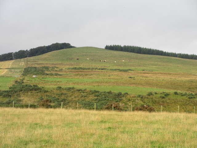
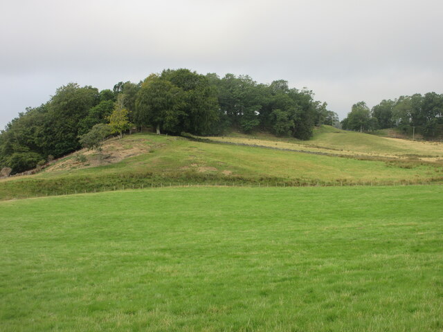
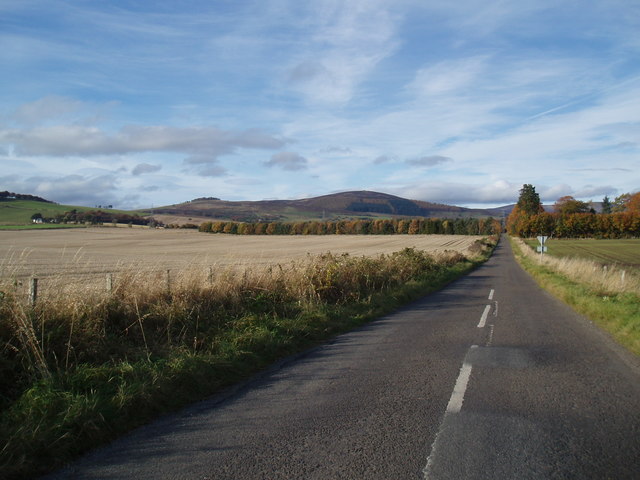
Broom Hillock is a prominent hill located in Angus, a county in the eastern part of Scotland. Standing at an elevation of 244 meters (800 feet), it is classified as a hill rather than a mountain. Despite this, it offers breathtaking panoramic views of the surrounding countryside.

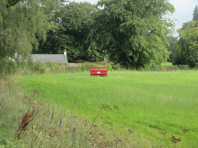
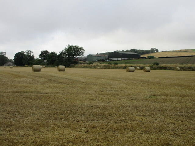
Situated near the village of Letham, Broom Hillock is a popular destination for hikers and nature enthusiasts. The hill is easily accessible, with a well-marked trail leading to its summit. The ascent is moderate, making it suitable for individuals of different fitness levels.

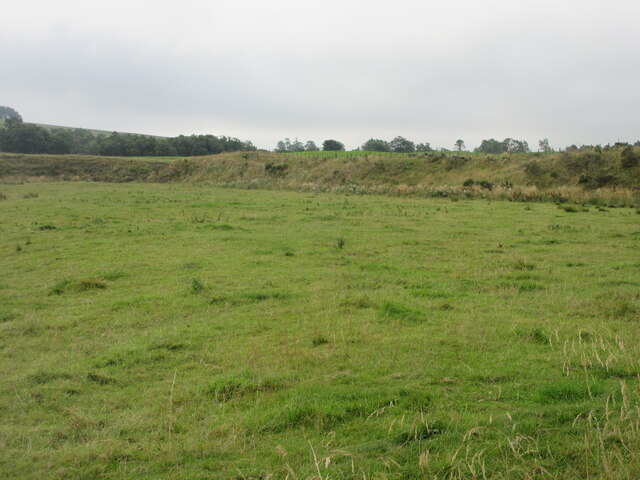
The hill is characterized by its heathland vegetation, consisting of grasses, gorse, and heather. This gives Broom Hillock a distinctive appearance, especially when the heather is in full bloom during the summer months. The vibrant purple hues create a picturesque landscape.

From the top of Broom Hillock, visitors can enjoy panoramic views of the surrounding countryside, including the rolling hills of Angus and the fertile farmland below. On clear days, it is even possible to see the distant peaks of the Grampian Mountains to the northwest.

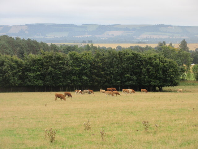
Broom Hillock is also home to a variety of wildlife, including birds, such as skylarks and meadow pipits, as well as small mammals like rabbits and foxes. Birdwatchers often visit the hill to observe these species in their natural habitat.

Overall, Broom Hillock offers a peaceful and scenic experience for those seeking a taste of the Scottish countryside. Its accessibility and natural beauty make it a popular destination for both locals and tourists alike.

If you have any feedback on the listing, please let us know in the comments section below.

Broom Hillock Images

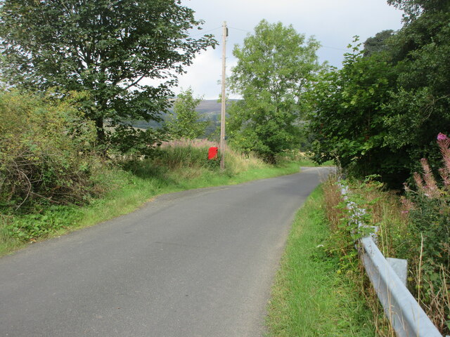
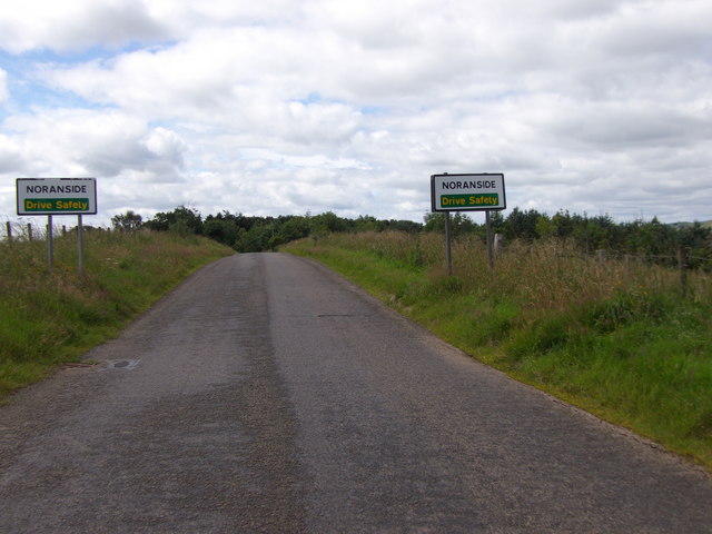
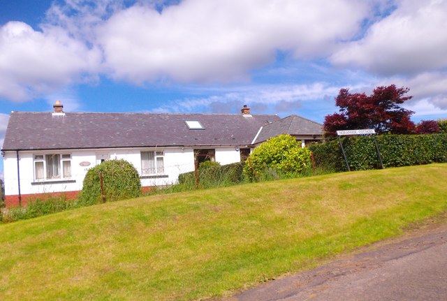
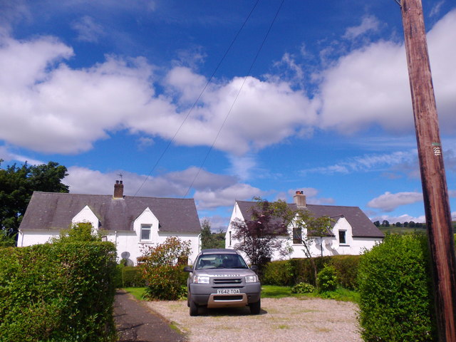
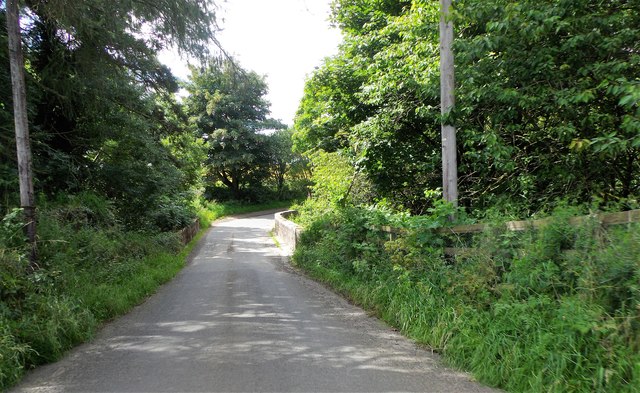
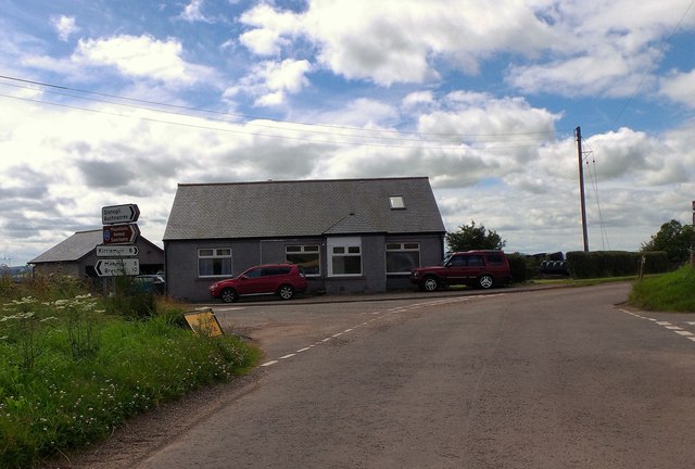
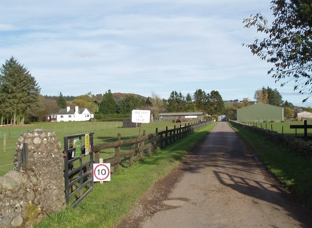
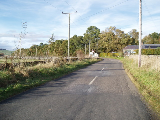
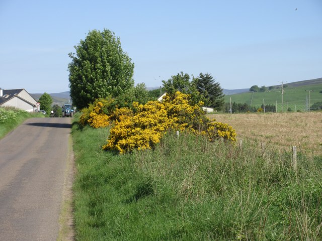
Images are sourced within 2km of 56.742758/-2.888495 or Grid Reference NO4561. Thanks to Geograph Open Source API. All images are credited.

Field of bales at Deuchar Harvested field with bales, viewed from the access road to Deuchar.
Field of bales at Deuchar
Harvested field with bales, viewed from the access road to Deuchar.
Cattle near Noranside Cattle grazing on pastureland near Noranside.
Cattle near Noranside
Cattle grazing on pastureland near Noranside.
Eastern flank of Well Hill Looking up the eastern side of Well Hill, dotted with cattle.
Eastern flank of Well Hill
Looking up the eastern side of Well Hill, dotted with cattle.
Debris covered lochan Lochan covered in foliage debris viewed east from the Glenley to Auchnacree road.
Debris covered lochan
Lochan covered in foliage debris viewed east from the Glenley to Auchnacree road.
Grassy pastureland near Glenogil Looking south to pastureland between Glenogil and Glenley.
Grassy pastureland near Glenogil
Looking south to pastureland between Glenogil and Glenley.
Cattle feeder near Glenogil Cattle feeder in a field between Glenogil and the Noran Water.
Cattle feeder near Glenogil
Cattle feeder in a field between Glenogil and the Noran Water.
Tree covered hillock Looking west from the Glenogil road to a hillock covered in woodland near the Den of Ogil.
Tree covered hillock
Looking west from the Glenogil road to a hillock covered in woodland near the Den of Ogil.
Bales at the Mains of Ogil Looking south to a harvested field with bales, with the Mains of Ogil beyond.
Bales at the Mains of Ogil
Looking south to a harvested field with bales, with the Mains of Ogil beyond.
Postbox at Ogil Postbox on the roadside near the site of the old telephone box at Ogil.
Postbox at Ogil
Postbox on the roadside near the site of the old telephone box at Ogil.
Approach to Noranside On minor road from Fern.
Approach to Noranside
On minor road from Fern.
Noranside Cottages Council Houses by minor road from Fern.
Noranside Cottages
Council Houses by minor road from Fern.
Courtford Park, Noranside
Courtford Bridge Minor road over Noran Water.
Courtford Bridge
Minor road over Noran Water.
Denside Crossroads Approached from Noranside.
Denside Crossroads
Approached from Noranside.
Mountains Animal Sanctuary at Milton of Ogil
Minor road at Milton of Ogil
Denside Cross Roads
Denside Cross Roads
Gorse by the roadside Gorse in full bloom on the verge of the road approaching Denside Crossroads.
Gorse by the roadside
Gorse in full bloom on the verge of the road approaching Denside Crossroads.
Show me another place!

Broom Hillock is located at Grid Ref: NO4561 (Lat: 56.742758, Lng: -2.888495)

Unitary Authority: Angus

Police Authority: Tayside

What 3 Words

///overpaid.producers.ends. Near Kirriemuir, Angus

Nearby Locations

Broom Hillock

Related Wikis

Noranside

Noranside is a hamlet in Angus, Scotland, located at 56° 44' 0" North, 2° 52' 0" West,. The prison HMP Noranside was operated there from 1966 to 2011....

Auchnacree

Auchnacree is an estate in Angus, Scotland, five miles north of Forfar.In 1921 the estate overseer, Mr Frank Rae, discovered what is now called the Auchnacree...

Tannadice, Angus

Tannadice is a village in Angus, Scotland that lies on the River South Esk and is 4 miles north of Forfar. The estate of Tannadice was formerly owned by...

Memus

Memus is a small village in Angus, Scotland, north of Kirriemuir. It is home to the Drovers Pub. A story is told of a kelpie at Shielhill Bridge, leaving...

Nearby Amenities

Located within 500m of 56.742758,-2.888495
Road End
Naptan AtcoCode: 6490IM887
Naptan Bearing: SW
Naptan BusStopType: CUS
Naptan CommonName: Road End
Naptan Indicator: opp
Naptan NaptanCode: 26426597
Naptan Street: Glen Ogil
Naptan Verified: no
Source: naptan_import
Lat/Long: 56.7438148/-2.8963967
Power: tower
Lat/Long: 56.740122/-2.8921814
Power: tower
Lat/Long: 56.7421888/-2.8866571
Power: tower
Lat/Long: 56.7444519/-2.8838931
Milton of Ogil
Place: hamlet
Lat/Long: 56.7392209/-2.8873283
Cairdenswell
Alt Name: Cardenswell
Place: locality
Lat/Long: 56.7447741/-2.8839936
The data included in this document is from www.openstreetmap.org. The data is made available under ODbL.

Have you been to Broom Hillock?

Leave your review of Broom Hillock below (or comments, questions and feedback).