Bowburnet

Hill, Mountain in Herefordshire

England

Bowburnet

Lower House, Burrington 17th century Grade II listed farmhouse. <span class="nowrap"><a title="http://www.britishlistedbuildings.co.uk/en-150190-lower-house-and-adjoining-byre-burringto" rel="nofollow ugc noopener" href="http://www.britishlistedbuildings.co.uk/en-150190-lower-house-and-adjoining-byre-burringto">Link</a><img style="margin-left:2px;" alt="External link" title="External link - shift click to open in new window" src="https://s1.geograph.org.uk/img/external.png" width="10" height="10"/></span>
Lower House, Burrington Credit: N Chadwick

Bowburnet is a small hill located in the county of Herefordshire, England. Situated in the western part of the county, Bowburnet offers picturesque views of the surrounding countryside and is a popular destination for outdoor enthusiasts and nature lovers.

Standing at an elevation of approximately 328 feet (100 meters), Bowburnet is not particularly tall but provides a gentle and enjoyable climb for hikers and walkers. The hill is characterized by its rolling green slopes and is covered in lush vegetation, including grasses, wildflowers, and occasional patches of woodland. The diverse flora found on Bowburnet supports a variety of wildlife, making it an excellent spot for birdwatching and nature photography.

The summit of Bowburnet offers stunning panoramic views of the Herefordshire countryside, with its undulating hills and valleys stretching out as far as the eye can see. On a clear day, one can catch glimpses of nearby towns and villages, such as Hereford and Leominster, adding to the charm of this natural landmark.

Bowburnet is easily accessible by foot, with several footpaths and trails leading to its summit. It is a popular destination for families, individuals, and even local schools, who often organize educational trips to explore and learn about the diverse ecosystem found on the hill.

Overall, Bowburnet is a serene and picturesque hill in Herefordshire, offering a tranquil escape from the hustle and bustle of daily life, and providing visitors with an opportunity to connect with nature and enjoy the beauty of the English countryside.

If you have any feedback on the listing, please let us know in the comments section below.
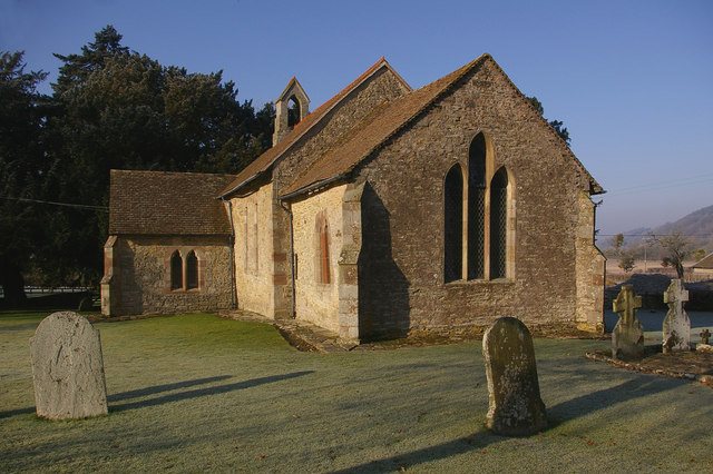
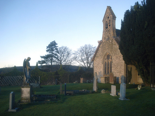
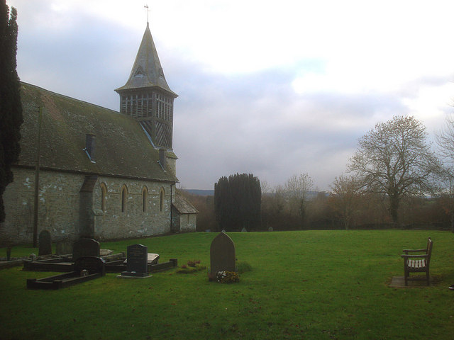
Bowburnet Images

Images are sourced within 2km of 52.342031/-2.8016429 or Grid Reference SO4571. Thanks to Geograph Open Source API. All images are credited.

Lower House, Burrington 17th century Grade II listed farmhouse. <span class="nowrap"><a title="http://www.britishlistedbuildings.co.uk/en-150190-lower-house-and-adjoining-byre-burringto" rel="nofollow ugc noopener" href="http://www.britishlistedbuildings.co.uk/en-150190-lower-house-and-adjoining-byre-burringto">Link</a><img style="margin-left:2px;" alt="External link" title="External link - shift click to open in new window" src="https://s1.geograph.org.uk/img/external.png" width="10" height="10"/></span>
Lower House, Burrington
17th century Grade II listed farmhouse. LinkExternal link
Barn on the edge of Burrington
Footpath from Burrington
Stile on the footpath from Burrington
Ice on a pond near Burrington
Sheep near Burrington
Stile, footpath to Burrington Bridge
Small stream near Burrington Bridge
Former course of the River Teme
Road sign near Burrington Bridge
Lane to Burrington
Lane to Burrington
Lane south to The Willows
Lane to Burrington Bridge
Burrington Bridge 18th century listed bridge over the River Teme. <span class="nowrap"><a title="http://www.britishlistedbuildings.co.uk/en-150184-burrington-bridge-burrington" rel="nofollow ugc noopener" href="http://www.britishlistedbuildings.co.uk/en-150184-burrington-bridge-burrington">Link</a><img style="margin-left:2px;" alt="External link" title="External link - shift click to open in new window" src="https://s1.geograph.org.uk/img/external.png" width="10" height="10"/></span>
Burrington Bridge
18th century listed bridge over the River Teme. LinkExternal link
River Teme from Burrington Bridge The River Teme rises in Mid Wales and flows eastwards through Knighton and Ludlow, it then forms the Shropshire / Worcestershire border before joining the River Severn near Worcester. It is 81 miles long. Its entire length has been designated a SSSI.
River Teme from Burrington Bridge
The River Teme rises in Mid Wales and flows eastwards through Knighton and Ludlow, it then forms the Shropshire / Worcestershire border before joining the River Severn near Worcester. It is 81 miles long. Its entire length has been designated a SSSI.
Woodland by the River Teme
River Teme upstream from Burrington Bridge The River Teme rises in Mid Wales and flows eastwards through Knighton and Ludlow, it then forms the Shropshire / Worcestershire border before joining the River Severn near Worcester. It is 81 miles long. Its entire length has been designated a SSSI.
River Teme upstream from Burrington Bridge
The River Teme rises in Mid Wales and flows eastwards through Knighton and Ludlow, it then forms the Shropshire / Worcestershire border before joining the River Severn near Worcester. It is 81 miles long. Its entire length has been designated a SSSI.
Show me another place!

Bowburnet is located at Grid Ref: SO4571 (Lat: 52.342031, Lng: -2.8016429)

Unitary Authority: County of Herefordshire

Police Authority: West Mercia

What 3 Words

///immune.reaction.lunge. Near Elton, Herefordshire

Nearby Locations

Bowburnet

Related Wikis

Pipe Aston

Pipe Aston is a small village and civil parish in the far north of Herefordshire, close to the border with Shropshire. It has a population of about 24...

Elton, Herefordshire

Elton is a hamlet and civil parish in the far north of Herefordshire. It is situated on the Wigmore to Ludlow road. The village is northeast of Leinthall...

Burrington, Herefordshire

Burrington is a small village and civil parish in the far north of Herefordshire, England. It is part of the Leintwardine group of parishes and shares...
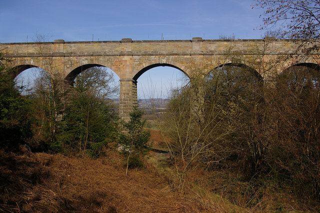
Elan aqueduct

The Elan aqueduct crosses Wales and the Midlands of England, running eastwards from the Elan Valley Reservoirs in Mid Wales to Birmingham's Frankley Reservoir...

Nearby Amenities

Located within 500m of 52.342031,-2.8016429
Long Larches
Place: locality
Source: OS_OpenData_StreetView
Lat/Long: 52.3462858/-2.8023827
Barrier: stile
Lat/Long: 52.3416671/-2.8041665
Barrier: stile
Lat/Long: 52.34165/-2.8042936
Barrier: stile
Lat/Long: 52.3416059/-2.8040809
The data included in this document is from www.openstreetmap.org. The data is made available under ODbL.

Have you been to Bowburnet?

Leave your review of Bowburnet below (or comments, questions and feedback).