Eastertoun Hill
Hill, Mountain in Midlothian
Scotland
Eastertoun Hill
Eastertoun Hill is a prominent hill located in the Midlothian region of Scotland. It is part of the Pentland Hills range and stands at an elevation of approximately 1,365 feet (416 meters) above sea level. The hill's distinct shape and commanding presence make it a notable landmark in the area.
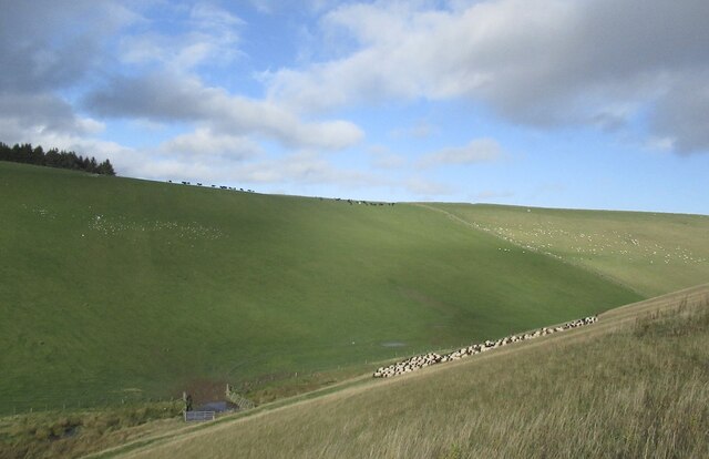
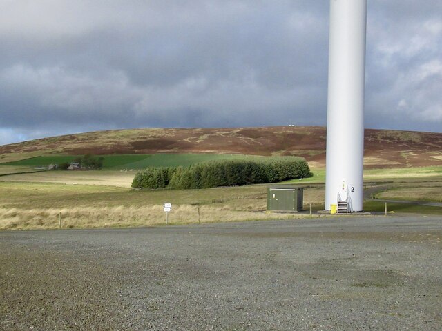
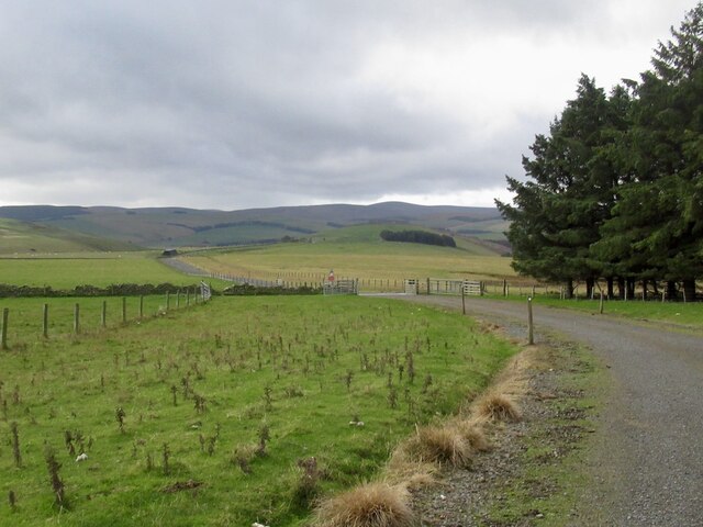
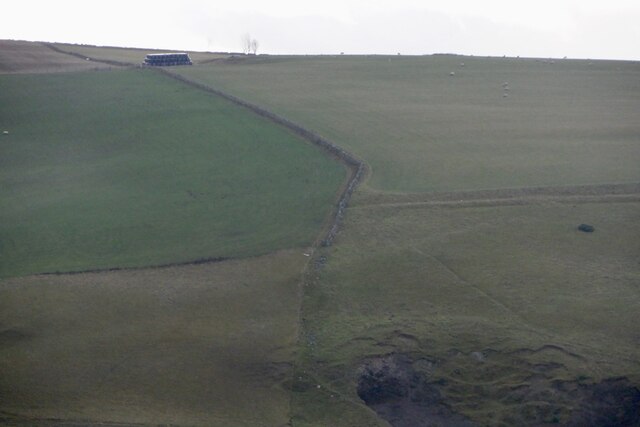
Eastertoun Hill is covered in lush green vegetation, primarily consisting of grasses and heather. The hill offers breathtaking panoramic views of the surrounding countryside, including the nearby towns of Penicuik and Loanhead. On a clear day, it is even possible to catch glimpses of the city of Edinburgh in the distance.
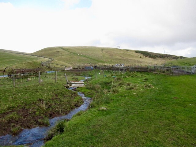
The hill is a popular destination for outdoor enthusiasts, hikers, and nature lovers. It offers various walking trails and paths that cater to different levels of difficulty, making it accessible to people of all ages and abilities. The paths meander through the hill's scenic landscape, providing opportunities to spot local wildlife and enjoy the tranquility of the countryside.
Eastertoun Hill is also steeped in history, with ancient burial cairns and stone circles found in the vicinity. These archaeological sites suggest that the hill has been inhabited and revered by humans for thousands of years.
Overall, Eastertoun Hill is a captivating natural feature that offers both stunning views and a chance to connect with the region's rich history. Whether visitors are seeking a challenging hike or a peaceful stroll, the hill provides an ideal setting for outdoor exploration and appreciation of Scotland's natural beauty.
If you have any feedback on the listing, please let us know in the comments section below.
Eastertoun Hill Images
Images are sourced within 2km of 55.7563/-2.8718577 or Grid Reference NT4551. Thanks to Geograph Open Source API. All images are credited.


Eastertoun Hill is located at Grid Ref: NT4551 (Lat: 55.7563, Lng: -2.8718577)
Unitary Authority: The Scottish Borders
Police Authority: The Lothians and Scottish Borders
What 3 Words
///action.indicates.downturn. Near Lauder, Scottish Borders
Nearby Locations
Related Wikis

Fountainhall railway station
Fountainhall railway station served the village of Fountainhall, Scottish Borders from 1848 to 1969 on the Waverley Route. == History == The station opened...

Allanshaugh
Allanshaugh is a fermtoun in the Scottish Borders area of Scotland. == See also == List of places in the Scottish Borders List of places in Scotland...

Channelkirk
Channelkirk is a parish and community council area in the north-west corner of the historic county of Berwickshire in the Scottish Borders area of Scotland...
Halltree
Halltree is a hamlet in the Scottish Borders. == Etymology == The etymology of Halltree is debated, but the second element is likely to be a Cumbric word...
Nearby Amenities
Located within 500m of 55.7563,-2.8718577Have you been to Eastertoun Hill?
Leave your review of Eastertoun Hill below (or comments, questions and feedback).