Castleside Hill

Hill, Mountain in Roxburghshire

Scotland

Castleside Hill

Roberton to Ashkirk road
Roberton to Ashkirk road Credit: Richard Webb

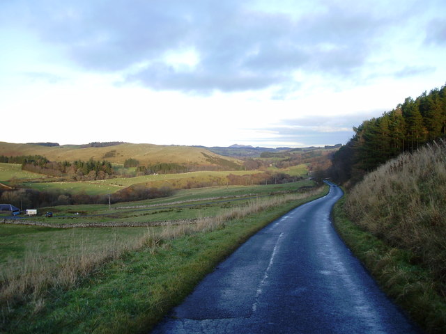
Castleside Hill is a prominent hill located in Roxburghshire, a historic county in the Scottish Borders region of Scotland. It is part of the Southern Uplands range, which stretches across the border between Scotland and England. Rising to an elevation of approximately 375 meters (1,230 feet), Castleside Hill offers breathtaking panoramic views of the surrounding landscape.

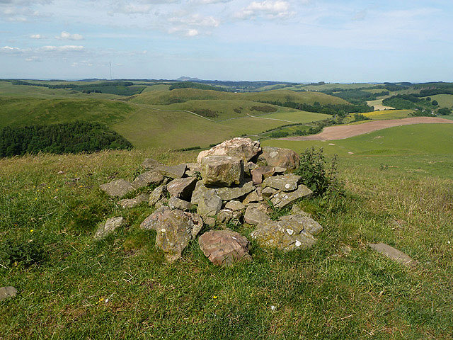
The hill is characterized by its gently sloping grassy slopes, which are covered in heather and other vegetation. It is a popular destination for hikers, nature enthusiasts, and photographers, who are drawn to its natural beauty and tranquility. The summit of Castleside Hill is marked by a cairn, a pile of stones that has been built over time by visitors.

From the top of Castleside Hill, visitors can enjoy sweeping views of the surrounding countryside, including the Cheviot Hills to the south and the Eildon Hills to the north. On a clear day, it is even possible to see as far as the Northumberland coast.

The hill is also known for its rich history, with evidence of human activity dating back thousands of years. Archaeological sites in the area suggest that the hill may have been used as a defensive position during ancient times. Today, remnants of an Iron Age hillfort can still be seen on the slopes of Castleside Hill, adding to its historical significance.

Overall, Castleside Hill is a picturesque and historically significant landmark in Roxburghshire, offering visitors a chance to immerse themselves in the natural beauty and history of the Scottish Borders.

If you have any feedback on the listing, please let us know in the comments section below.

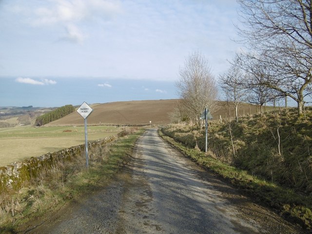
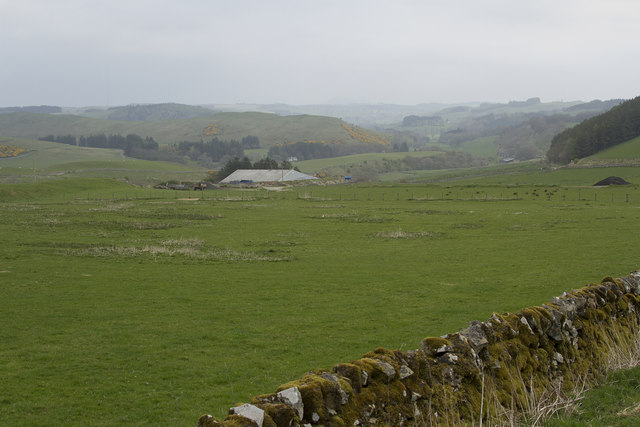
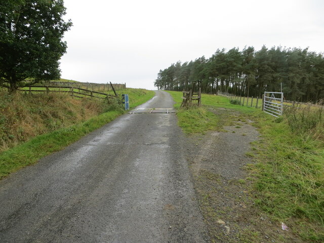
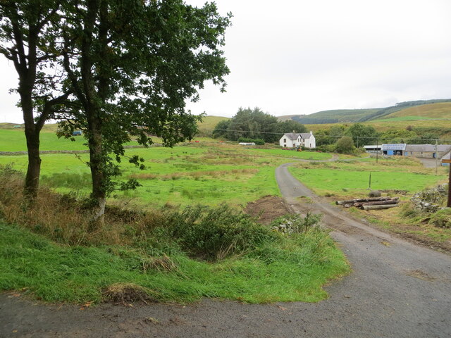
Castleside Hill Images

Images are sourced within 2km of 55.479571/-2.8666221 or Grid Reference NT4520. Thanks to Geograph Open Source API. All images are credited.

Roberton to Ashkirk road
Dropping down to the Ale Valley The road now has dry stone walls and we are descending to the Ale River.
Dropping down to the Ale Valley
The road now has dry stone walls and we are descending to the Ale River.
Minor road and somewhat obsolete cattle grid Looking south-westward in the direction of Horn Hill.
Minor road and somewhat obsolete cattle grid
Looking south-westward in the direction of Horn Hill.
Access track to Shielswood Farm Looking north-westward.
Access track to Shielswood Farm
Looking north-westward.
Farm track, Leap Hill
Leap Hill There are a couple of tracks on the hill.
Leap Hill
There are a couple of tracks on the hill.
On Leap Hill
On Leap Hill
Ramparts, Leap Hill An earth rampart mapped as a settlement by the Ordnance Survey.
Ramparts, Leap Hill
An earth rampart mapped as a settlement by the Ordnance Survey.
Summit candidate, Leap Hill Leap Hill has a complex summit area with several bumps of a similar height.
Summit candidate, Leap Hill
Leap Hill has a complex summit area with several bumps of a similar height.
Leap Linn The Ale Water runs through this small ravine near Ashkirk in the Scottish Borders.
Leap Linn
The Ale Water runs through this small ravine near Ashkirk in the Scottish Borders.
A jetty at Shielswood Loch The jetty is near the boathouse on the northwest side of the loch.
A jetty at Shielswood Loch
The jetty is near the boathouse on the northwest side of the loch.
Shielswood Loch This small loch is private fishing only. This was taken from the foot of Loch Rig just outside the square.
Shielswood Loch
This small loch is private fishing only. This was taken from the foot of Loch Rig just outside the square.
Shielswood Loch This small loch is private fishing only. This was taken from the southeast side of the loch just outside the square.
Shielswood Loch
This small loch is private fishing only. This was taken from the southeast side of the loch just outside the square.
Leap Hill I thought that these stones might mark the summit of the hill but the Explorer map shows a 319m spot height 100m to the south.
Leap Hill
I thought that these stones might mark the summit of the hill but the Explorer map shows a 319m spot height 100m to the south.
Road to Ashkirk Passing Shielswood with Eildon Hills in the distance
Road to Ashkirk
Passing Shielswood with Eildon Hills in the distance
On Leap Hill looking down to Wester Essenside
Leap Linn Looking across the ravine of Leap Linn with Ale Water out of view.
Leap Linn
Looking across the ravine of Leap Linn with Ale Water out of view.
Burnfoot A view from Leap Hill over improved and semi improved land towards the Eildon Hills.
Burnfoot
A view from Leap Hill over improved and semi improved land towards the Eildon Hills.
Show me another place!

Castleside Hill is located at Grid Ref: NT4520 (Lat: 55.479571, Lng: -2.8666221)

Unitary Authority: The Scottish Borders

Police Authority: The Lothians and Scottish Borders

What 3 Words

///blaze.roost.chickens. Near Selkirk, Scottish Borders

Related Wikis

Salenside

Salenside is a village off the A7, on the Ale Water, near Ashkirk, in the Scottish Borders area of Scotland, in the former Selkirkshire. There was a Salenside...

Ashkirk

Ashkirk is a small village on the Ale Water, in the Scottish Borders area of Scotland. It is located just off the A7 road, approximately 6 miles (10 kilometres...

Woll

Woll is a village on the Ale Water, off the A7, in the Ettrick Forest, north of Hawick, and south of Selkirk in the Scottish Borders area of Scotland....

Oakwood Roman Fort and Camp

Oakwood Roman Fort and Camp is a British archaeological site, a Roman fort and nearby Roman camp, about 3.5 miles (5.6 km) south-west of Selkirk in the...

Nearby Amenities

Located within 500m of 55.479571,-2.8666221
The data included in this document is from www.openstreetmap.org. The data is made available under ODbL.

Have you been to Castleside Hill?

Leave your review of Castleside Hill below (or comments, questions and feedback).