Craigend Hill
Hill, Mountain in Midlothian
Scotland
Craigend Hill

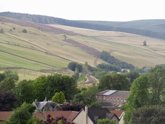
Craigend Hill is a distinctive landmark located in Midlothian, Scotland. Standing at an elevation of 186 meters (610 feet), it is classified as a hill rather than a mountain. Situated approximately 14 kilometers (8.7 miles) southeast of the capital city, Edinburgh, Craigend Hill offers a commanding presence in the surrounding landscape.
The hill is characterized by its gentle slopes, covered in a mixture of grasses and heather, making it a popular destination for hikers and nature enthusiasts. Its prominent position provides breathtaking panoramic views of the Midlothian countryside, including the nearby Pentland Hills and the city of Edinburgh itself.
Craigend Hill is easily accessible, with several footpaths leading to its summit. The main trail starts from the village of Roslin, renowned for its historic Rosslyn Chapel. The ascent is relatively moderate, suitable for all levels of fitness. Once at the top, visitors are rewarded with stunning vistas and the opportunity to explore the ancient hillfort ruins, which date back to the Iron Age.
The hill is also notable for its rich biodiversity. It is home to a variety of plant and animal species, including foxes, rabbits, and a wide range of birdlife. During the spring and summer months, the slopes come alive with vibrant wildflowers, adding to the charm of the area.
Overall, Craigend Hill offers a tranquil and picturesque destination for those seeking to explore the Scottish countryside. Its accessibility, natural beauty, and historical significance make it a must-visit location for both locals and tourists alike.
If you have any feedback on the listing, please let us know in the comments section below.
Craigend Hill Images
Images are sourced within 2km of 55.709606/-2.8739047 or Grid Reference NT4546. Thanks to Geograph Open Source API. All images are credited.


Craigend Hill is located at Grid Ref: NT4546 (Lat: 55.709606, Lng: -2.8739047)
Unitary Authority: The Scottish Borders
Police Authority: The Lothians and Scottish Borders
What 3 Words
///outlawing.latest.shop. Near Lauder, Scottish Borders
Nearby Locations
Related Wikis
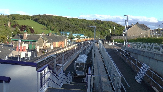
Stow railway station
Stow is a railway station on the Borders Railway, which runs between Edinburgh Waverley and Tweedbank. The station, situated 26 miles 45 chains (43 km...

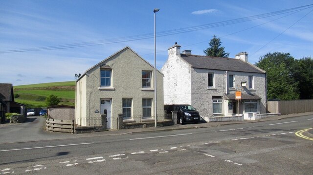
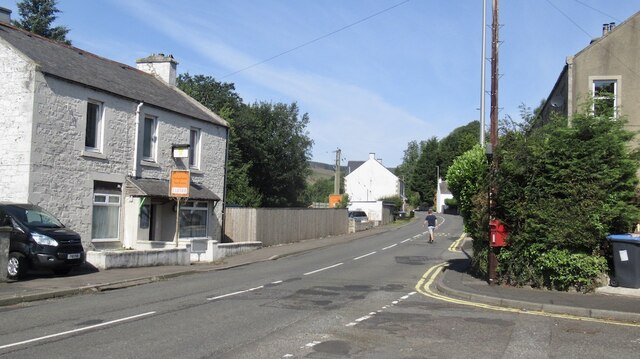
Stow of Wedale
Stow of Wedale, or more often Stow, is a village in the Scottish Borders area of Scotland (historically Midlothian), 7 miles (11 kilometres) north of...

Stow of Wedale Town Hall
Stow of Wedale Town Hall is a municipal building in Earlston Road, Stow of Wedale, Scottish Borders, Scotland. The structure, which serves as a community...

Allanshaugh
Allanshaugh is a fermtoun in the Scottish Borders area of Scotland. == See also == List of places in the Scottish Borders List of places in Scotland...
Nearby Amenities
Located within 500m of 55.709606,-2.8739047Have you been to Craigend Hill?
Leave your review of Craigend Hill below (or comments, questions and feedback).