Birch Hill
Hill, Mountain in Herefordshire
England
Birch Hill

Birch Hill is a prominent hill located in the county of Herefordshire, England. Situated in the western part of the county, the hill is part of the larger Malvern Hills Area of Outstanding Natural Beauty. With an elevation of approximately 400 meters (1,312 feet), Birch Hill offers breathtaking panoramic views of the surrounding countryside.
Covered in lush greenery and dotted with various species of trees, including birch trees from which it gets its name, the hill is a haven for nature enthusiasts and hikers. Its well-maintained footpaths and trails make it accessible to visitors of all levels of fitness and experience. The summit of Birch Hill provides a fantastic vantage point, allowing visitors to soak in the beauty of the Herefordshire landscape, with rolling hills, meandering rivers, and charming villages stretching as far as the eye can see.
Birch Hill is also home to diverse wildlife, including deer, foxes, and a variety of bird species. The hill's natural habitat supports a rich ecosystem and provides a sanctuary for many rare and protected species. It is not uncommon to spot buzzards soaring high above or hear the melodic songs of skylarks in the skies.
In addition to its natural beauty, Birch Hill has historical significance. The hill was once used as a site for grazing livestock and has remnants of ancient farming practices, such as terraced fields. Its strategic location also made it a site of interest during various historical events, including the English Civil War.
Overall, Birch Hill in Herefordshire stands as a picturesque natural landmark, combining stunning vistas, diverse flora and fauna, and a glimpse into the region's rich history. It is a must-visit destination for those seeking a tranquil escape in the heart of the English countryside.
If you have any feedback on the listing, please let us know in the comments section below.
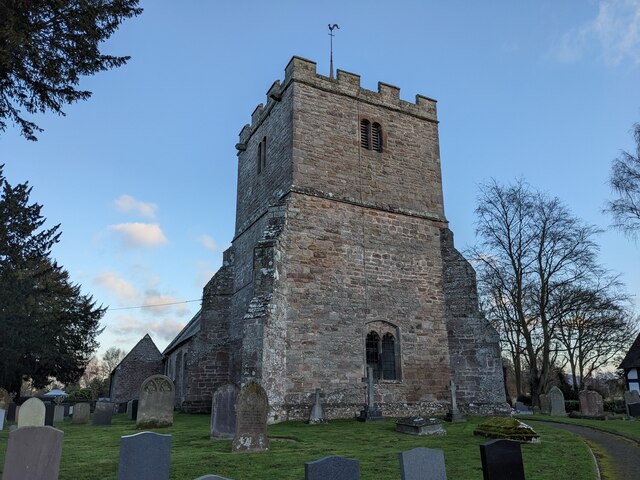
Birch Hill Images
Images are sourced within 2km of 52.028232/-2.8014543 or Grid Reference SO4536. Thanks to Geograph Open Source API. All images are credited.


Birch Hill is located at Grid Ref: SO4536 (Lat: 52.028232, Lng: -2.8014543)
Unitary Authority: County of Herefordshire
Police Authority: West Mercia
What 3 Words
///thickens.renewals.thread. Near Kingstone, Herefordshire
Nearby Locations
Related Wikis

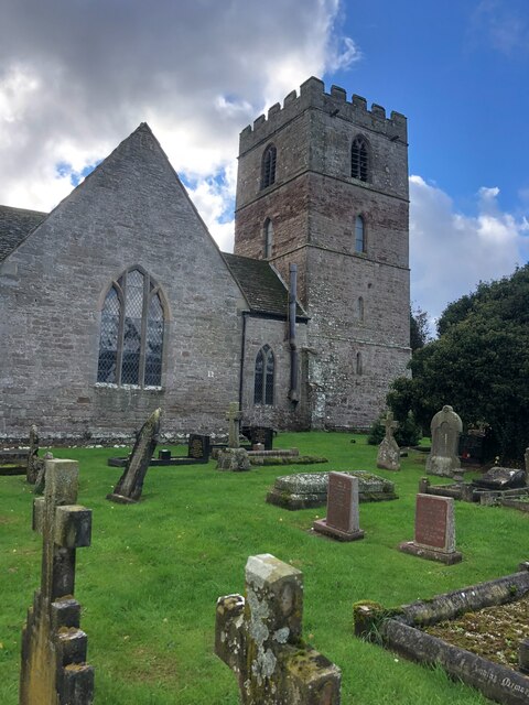
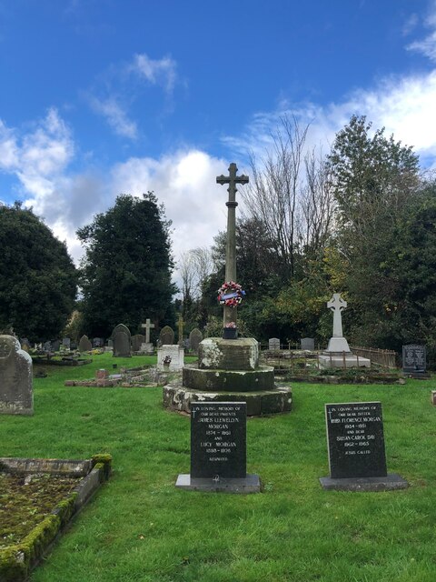
Clehonger
Clehonger is a village and civil parish in Herefordshire, England, and 7 km (4.3 mi) south-west of Hereford. Clehonger is from the old English 'Clayey...

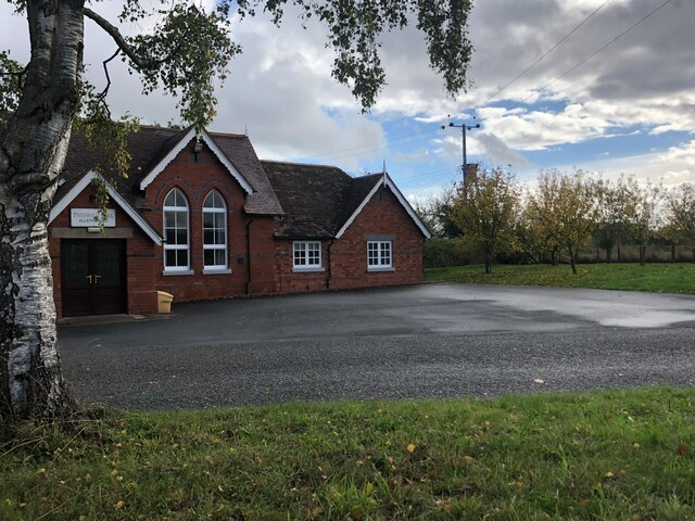
Allensmore
Allensmore is a village in Herefordshire, England. It is located on the A465 road about 4 miles (6 km) south-west of Hereford. The church is dedicated...

Eaton Bishop
Eaton Bishop is a small village and civil parish in Herefordshire, West Midlands, England. It is located south west of Hereford and is between the villages...

Kingstone, Herefordshire
Kingstone is a civil parish and a large village in rural Herefordshire, England. It lies within the historic area of Archenfield, near the Welsh border...
Nearby Amenities
Located within 500m of 52.028232,-2.8014543Have you been to Birch Hill?
Leave your review of Birch Hill below (or comments, questions and feedback).