Broadlee Hill

Hill, Mountain in Roxburghshire

Scotland

Broadlee Hill

A symbolic gravestone in Ashkirk Parish Churchyard This 18th century stone, which is leaning forwards, displays the classic symbols of mortality with crossed femur bones, a horizontal hourglass and a death’s head skull. A winged soul at the top of the stone is a symbol of immortality representing the human spirit.
A symbolic gravestone in Ashkirk Parish Churchyard Credit: Walter Baxter

Broadlee Hill is a prominent hill located in the county of Roxburghshire in the southern part of Scotland. Standing at a height of 471 meters (1,545 feet), it is classified as a hill rather than a mountain.

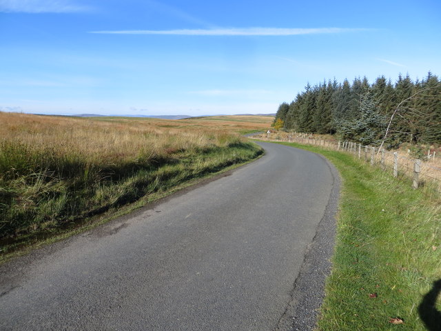
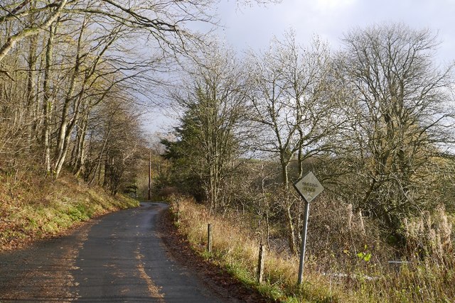
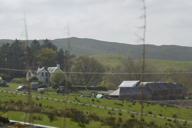
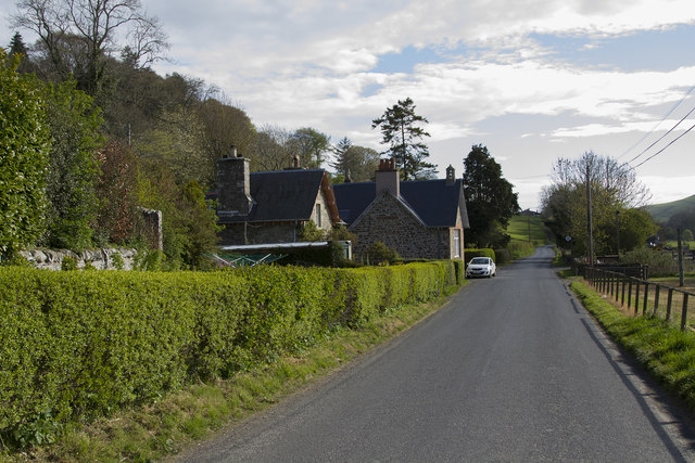
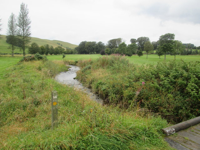
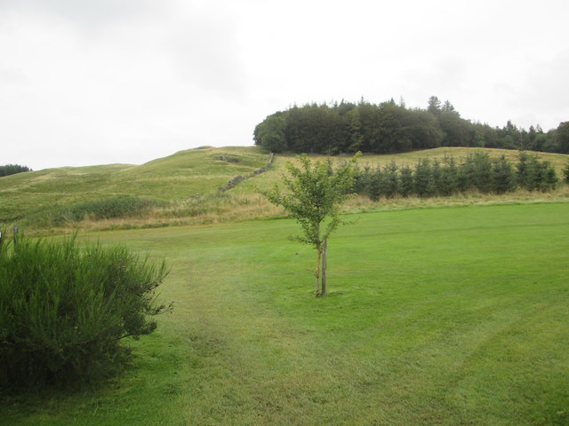
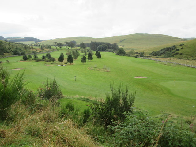
Situated within the vast and picturesque Scottish Borders region, Broadlee Hill is renowned for its stunning natural beauty. The hill is characterized by its rolling slopes, covered in heather and grass, providing a lush green landscape, particularly during the summer months. Its location provides a panoramic view of the surrounding countryside, offering visitors a breathtaking vista.

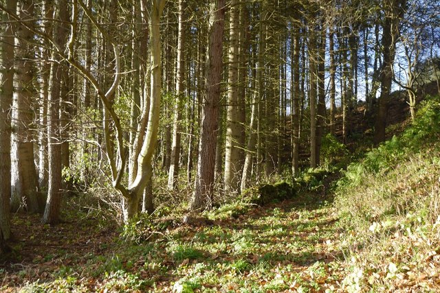
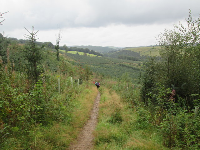
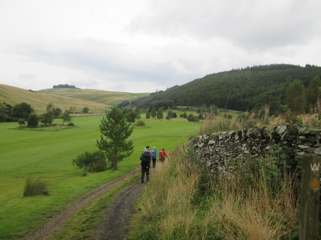
Broadlee Hill is a popular destination for outdoor enthusiasts, including hikers and walkers, who are attracted to its accessible trails and diverse wildlife. The hill is home to various species of birds, including buzzards and kestrels, making it a haven for birdwatchers. Additionally, the area is known for its rich flora, with wildflowers, ferns, and mosses adorning the hillside.

The hill is easily accessible, with several paths leading to the summit. While the ascent is not overly challenging, the reward is a breathtaking view of the surrounding landscape, including the nearby Cheviot Hills and the picturesque town of Jedburgh. On a clear day, the view extends as far as the Eildon Hills and the border between Scotland and England.

Overall, Broadlee Hill offers visitors a tranquil and scenic escape, providing an opportunity to immerse themselves in the natural beauty of the Scottish Borders.

If you have any feedback on the listing, please let us know in the comments section below.

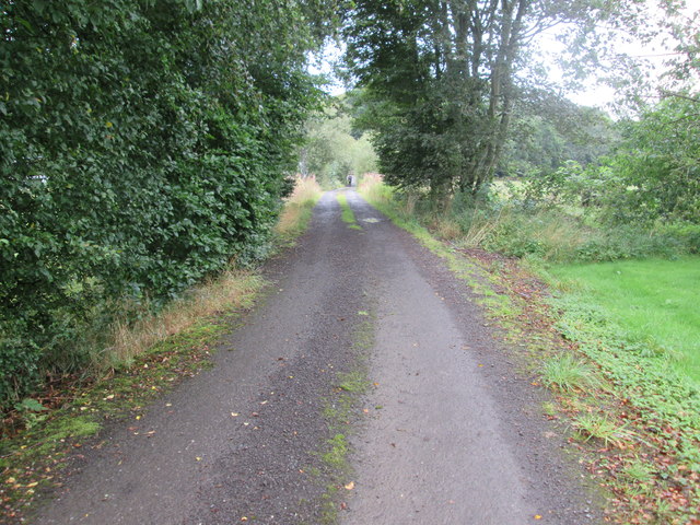
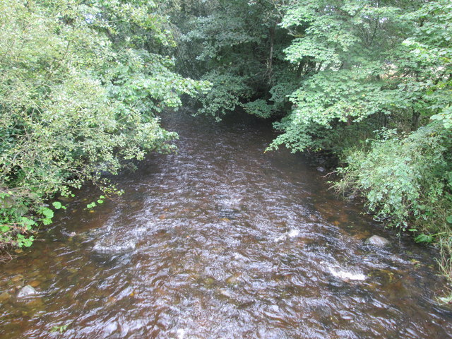
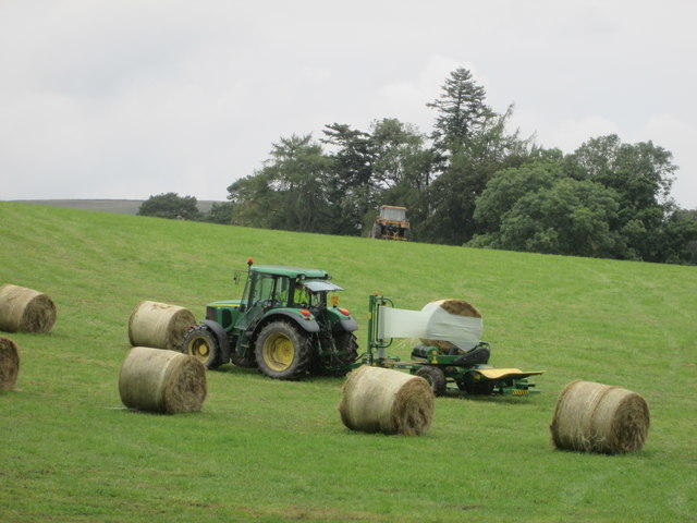
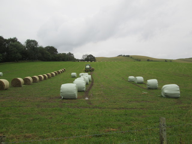
Broadlee Hill Images

Images are sourced within 2km of 55.488536/-2.8707912 or Grid Reference NT4521. Thanks to Geograph Open Source API. All images are credited.

A symbolic gravestone in Ashkirk Parish Churchyard This 18th century stone, which is leaning forwards, displays the classic symbols of mortality with crossed femur bones, a horizontal hourglass and a death’s head skull. A winged soul at the top of the stone is a symbol of immortality representing the human spirit.
A symbolic gravestone in Ashkirk Parish Churchyard
This 18th century stone, which is leaning forwards, displays the classic symbols of mortality with crossed femur bones, a horizontal hourglass and a death’s head skull. A winged soul at the top of the stone is a symbol of immortality representing the human spirit.
He was only 363 when he died The inscription on this Crawford gravestone in Ashkirk Parish Churchyard is interesting and amusing because the 18th century mason has carved the age of Robert Crawford as 363 when he died. The inscription reads:

HERE LYES
JOHN CRAWFORD
LATE TENNENT IN
DRAYDIAN WHO
DIED MAY 26 1744
AGID 78

Also Robert Crawford Son
late tenant in Branksholme
Town who died Sept 7 1767
Aged 363 years

For a view of the other side of the stone, see <a href="https://www.geograph.org.uk/photo/4739479">NT4622 : A symbolic gravestone in Ashkirk Parish Churchyard</a>.
He was only 363 when he died
The inscription on this Crawford gravestone in Ashkirk Parish Churchyard is interesting and amusing because the 18th century mason has carved the age of Robert Crawford as 363 when he died. The inscription reads: HERE LYES JOHN CRAWFORD LATE TENNENT IN DRAYDIAN WHO DIED MAY 26 1744 AGID 78 Also Robert Crawford Son late tenant in Branksholme Town who died Sept 7 1767 Aged 363 years For a view of the other side of the stone, see NT4622 : A symbolic gravestone in Ashkirk Parish Churchyard.
Moorland road at Bishop's Stone Looking north-westward.
Moorland road at Bishop's Stone
Looking north-westward.
Woodland path, Easter Essenside A short stretch of woodland before the hill pasture to the north.
Woodland path, Easter Essenside
A short stretch of woodland before the hill pasture to the north.
Yellow road, Easter Essenside
Hill pasture, Wester Essenside Whins on steep ground, they seem to thrive where snow drifts form.
Hill pasture, Wester Essenside
Whins on steep ground, they seem to thrive where snow drifts form.
Todrig Burn Joins the Ale Water on the way to the Tweed.
Todrig Burn
Joins the Ale Water on the way to the Tweed.
A farm house and other buildings A quick shot from the car - I had not noticed the wire across the image of the farm buildings.
A farm house and other buildings
A quick shot from the car - I had not noticed the wire across the image of the farm buildings.
The edge of Ashkirk The village of Ashkirk is very spread out but does have a small concentrated group of houses near the junction with the A7. This picture was taken just on the edge of the village close to the Ale Water which is the stream / burn that runs through the village.
The edge of Ashkirk
The village of Ashkirk is very spread out but does have a small concentrated group of houses near the junction with the A7. This picture was taken just on the edge of the village close to the Ale Water which is the stream / burn that runs through the village.
Borders Abbeys  Way  through  Salenside  Plantation
Borders Abbeys Way through Salenside Plantation
Access  road  from  Salenside  Shiel It bridges the Ale Water then out onto a minor road
Access road from Salenside Shiel
It bridges the Ale Water then out onto a minor road
The  Ale  Water  toward  Ashkirk
The Ale Water toward Ashkirk
Wrapping  bales  of  hay  in  field  with  tractor A one man operation. From B A Way
Wrapping bales of hay in field with tractor
A one man operation. From B A Way
Wrapping  bales  of  hay  in  field  with  tractor  (2) Picks a second bale up while first is being wrapped, when wrapped dropped off the back and the second bale brought up to start wrapping, a one man operation
Wrapping bales of hay in field with tractor (2)
Picks a second bale up while first is being wrapped, when wrapped dropped off the back and the second bale brought up to start wrapping, a one man operation
Stream  through  Woll  Golf  Course The footbridge is the route of B A Way
Stream through Woll Golf Course
The footbridge is the route of B A Way
Woll  Plantation  above  Woll  Golf  Course The B A Way goes through the golf course to the Thief Road (tk)
Woll Plantation above Woll Golf Course
The B A Way goes through the golf course to the Thief Road (tk)
Borders  Abbeys  Way  through  Woll  Golf  Course The route marker is on the right by the wall
Borders Abbeys Way through Woll Golf Course
The route marker is on the right by the wall
Looking  back  from  the  Thief  Road  (tk)  over  Woll  Golf  Course
Looking back from the Thief Road (tk) over Woll Golf Course
Show me another place!

Broadlee Hill is located at Grid Ref: NT4521 (Lat: 55.488536, Lng: -2.8707912)

Unitary Authority: The Scottish Borders

Police Authority: The Lothians and Scottish Borders

What 3 Words

///crest.includes.footballers. Near Selkirk, Scottish Borders

Nearby Locations

Broadlee Hill

Related Wikis

Have you been to Broadlee Hill?

Leave your review of Broadlee Hill below (or comments, questions and feedback).