Cortleferry Hill

Hill, Mountain in Midlothian

Scotland

Cortleferry Hill

Kittyflat View from Rowantree Law.
Kittyflat Credit: Richard Webb

The requested URL returned error: 429 Too Many Requests

If you have any feedback on the listing, please let us know in the comments section below.

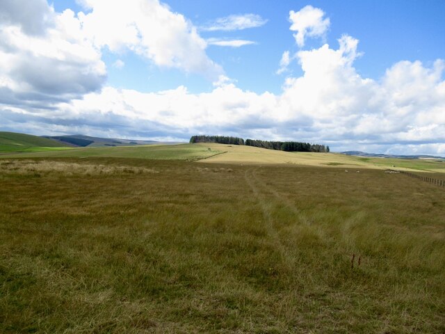
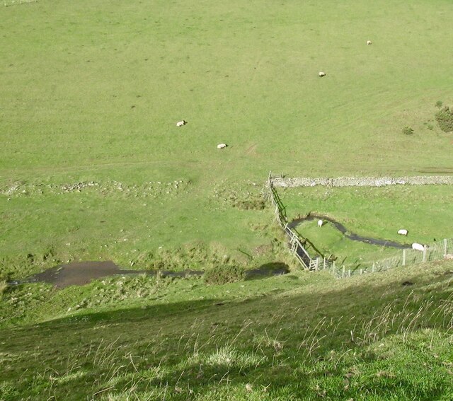
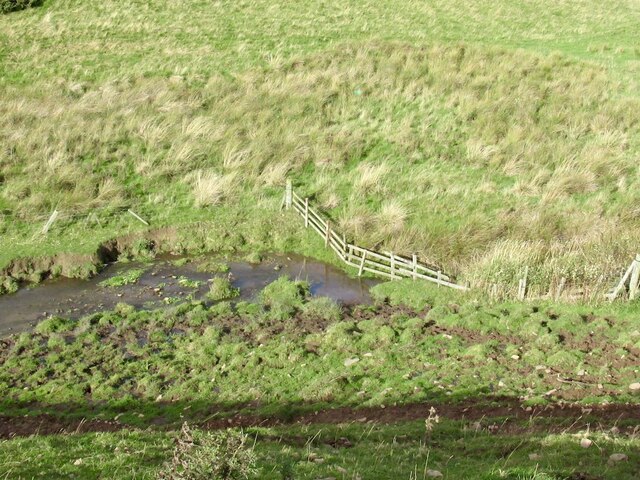
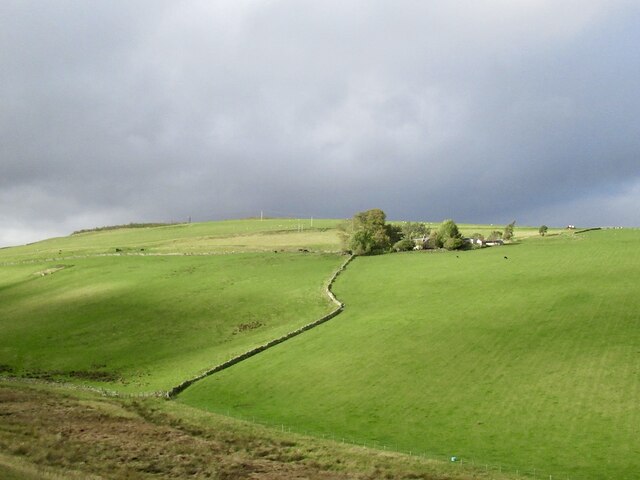
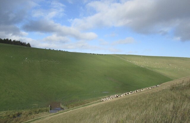
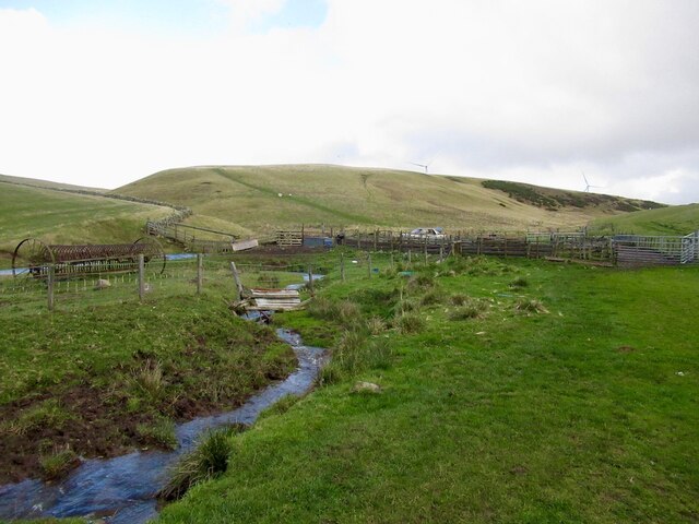
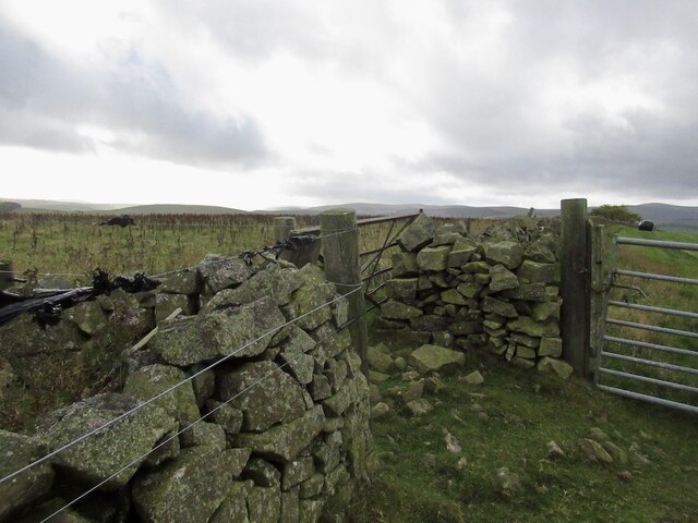
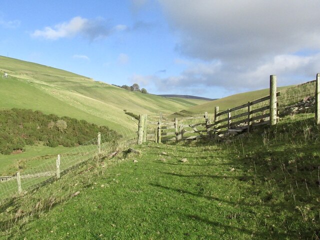
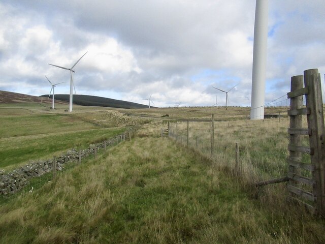
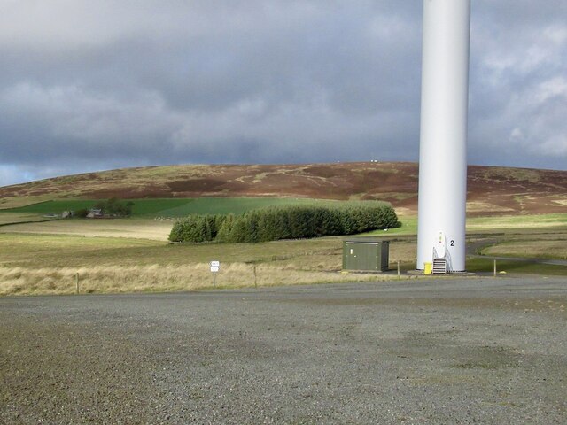
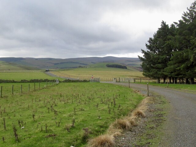
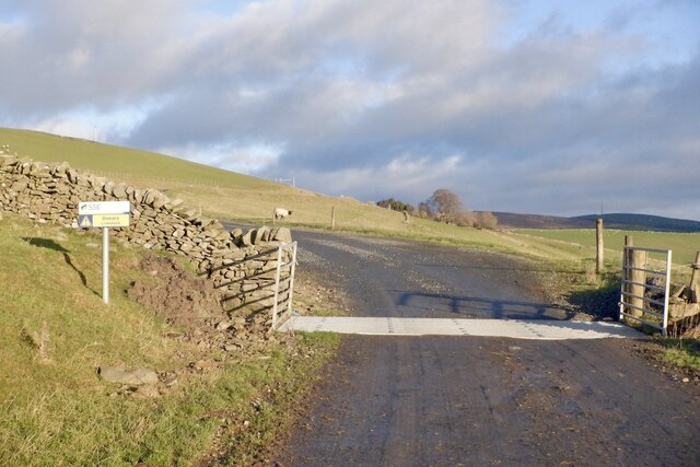
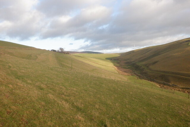
Cortleferry Hill Images

Images are sourced within 2km of 55.752335/-2.8785405 or Grid Reference NT4451. Thanks to Geograph Open Source API. All images are credited.

Kittyflat View from Rowantree Law.
Kittyflat
View from Rowantree Law.
Road, Kittyflat The passage through the wood is clear of fallen timber.
Road, Kittyflat
The passage through the wood is clear of fallen timber.
Woodland, Kittyflat
Woodland, Kittyflat
Toddle Burn
Toddle Burn
Toddle Burn Drinking spot for cattle.
Toddle Burn
Drinking spot for cattle.
Hoppringle The hill beyond used to have a conifer plantation forming the skyline.
Hoppringle
The hill beyond used to have a conifer plantation forming the skyline.
Driving sheep I was worried that I would be causing a problem here, but was simply asked to walk up the hill for a short distance.
Driving sheep
I was worried that I would be causing a problem here, but was simply asked to walk up the hill for a short distance.
Toddle Burn and sheep pens Wind farm on the skyline.
Toddle Burn and sheep pens
Wind farm on the skyline.
Summit area, Cortleferry Hill
Old gate and electric fence An awkward obstacle on a road that is obviously no longer used.
Old gate and electric fence
An awkward obstacle on a road that is obviously no longer used.
Forestry fence near Resting House There are gates but they are beyond an electric fence.
Forestry fence near Resting House
There are gates but they are beyond an electric fence.
Toddleburn Wind Farm I was after getting on to the gravel road network but had an electric fence to negotiate. (I crawled through, under the live wire.)
Toddleburn Wind Farm
I was after getting on to the gravel road network but had an electric fence to negotiate. (I crawled through, under the live wire.)
Turbine, Toddleburn Wind Farm
Windfarm access road, Hopringle
Cattle grid, Hopringle
Gate above the Toddle Burn
The Toddle Burn
The Toddle Burn
Sheep, Hopringle
Sheep, Hopringle
Show me another place!

Cortleferry Hill is located at Grid Ref: NT4451 (Lat: 55.752335, Lng: -2.8785405)

Unitary Authority: The Scottish Borders

Police Authority: The Lothians and Scottish Borders

What 3 Words

///swimmer.anchorman.streaks. Near Lauder, Scottish Borders

Nearby Locations

Cortleferry Hill

Related Wikis

Fountainhall railway station

Fountainhall railway station served the village of Fountainhall, Scottish Borders from 1848 to 1969 on the Waverley Route. == History == The station opened...

Allanshaugh

Allanshaugh is a fermtoun in the Scottish Borders area of Scotland. == See also == List of places in the Scottish Borders List of places in Scotland...

Halltree

Halltree is a hamlet in the Scottish Borders. == Etymology == The etymology of Halltree is debated, but the second element is likely to be a Cumbric word...

Channelkirk

Channelkirk is a parish and community council area in the north-west corner of the historic county of Berwickshire in the Scottish Borders area of Scotland...

Nearby Amenities

Located within 500m of 55.752335,-2.8785405
Natural: peak
Lat/Long: 55.752236/-2.8783815
Barrier: cattle_grid
Lat/Long: 55.7499233/-2.873174
Power: pole
Lat/Long: 55.7483167/-2.8749699
Power: pole
Lat/Long: 55.7489154/-2.874326
Power: pole
Lat/Long: 55.7494397/-2.8737635
Power: pole
Lat/Long: 55.7499769/-2.8731552
Power: pole
Lat/Long: 55.7503937/-2.8724375
Power: pole
Lat/Long: 55.7508277/-2.8717122
Power: pole
Lat/Long: 55.7512545/-2.8709843
The data included in this document is from www.openstreetmap.org. The data is made available under ODbL.

Have you been to Cortleferry Hill?

Leave your review of Cortleferry Hill below (or comments, questions and feedback).