Craigie Hill
Hill, Mountain in Fife
Scotland
Craigie Hill
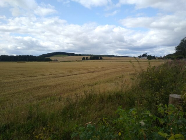
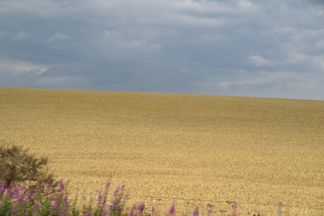
Craigie Hill is a prominent hill located in the county of Fife, Scotland. Rising to an elevation of approximately 180 meters (590 feet), it offers stunning panoramic views of the surrounding countryside. The hill is situated near the town of Perth and is a popular destination for hikers, nature enthusiasts, and those seeking breathtaking vistas.
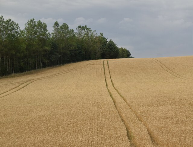
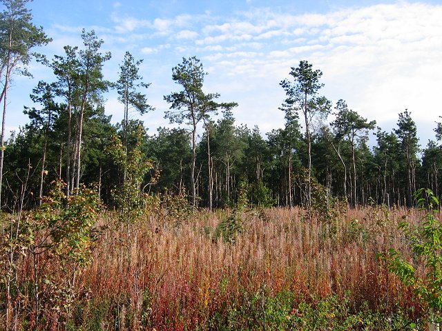
Craigie Hill is characterized by its gently sloping terrain, covered with a mixture of grasses, heather, and some scattered trees. The hill's slopes are relatively easy to navigate, making it accessible to a wide range of visitors. Its well-maintained paths and trails provide a pleasant hiking experience for both beginners and experienced trekkers.
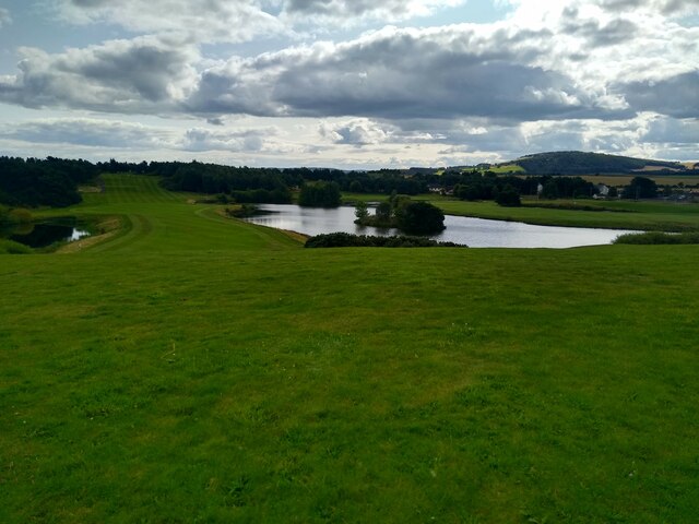
At the summit of Craigie Hill, visitors are rewarded with magnificent views of the rolling Fife landscape, including the fertile farmland, picturesque villages, and the meandering River Tay. On a clear day, it is even possible to catch a glimpse of the Grampian Mountains to the north.
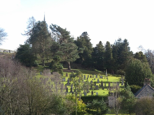
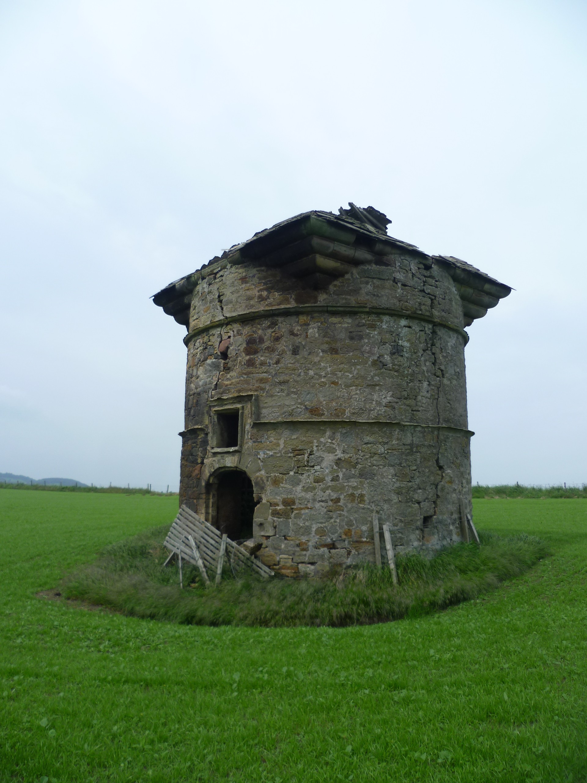
In addition to its natural beauty, Craigie Hill also holds historical significance. The remains of an ancient hillfort can be found on its slopes, believed to have been inhabited during the Iron Age. These archaeological features add an extra layer of intrigue to the hill's allure.
Overall, Craigie Hill in Fife is a captivating destination that offers a combination of stunning natural scenery, recreational opportunities, and a glimpse into Scotland's ancient past.
If you have any feedback on the listing, please let us know in the comments section below.
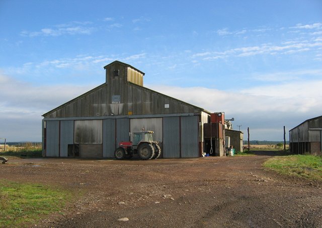
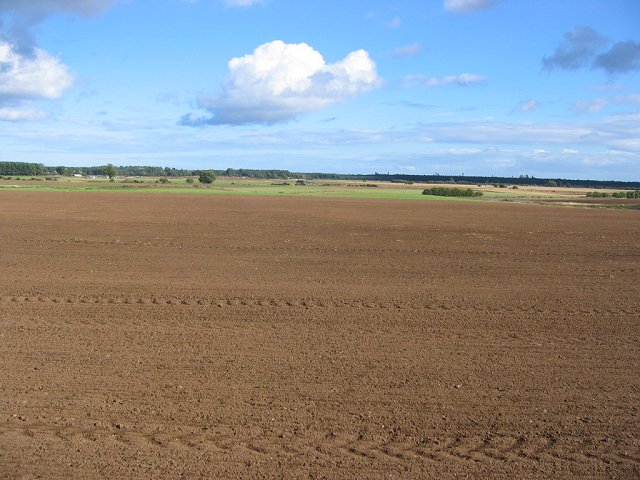
Craigie Hill Images
Images are sourced within 2km of 56.408781/-2.9004176 or Grid Reference NO4424. Thanks to Geograph Open Source API. All images are credited.


Craigie Hill is located at Grid Ref: NO4424 (Lat: 56.408781, Lng: -2.9004176)
Unitary Authority: Fife
Police Authority: Fife
What 3 Words
///trek.farmed.truffles. Near Leuchars, Fife
Nearby Locations
Related Wikis
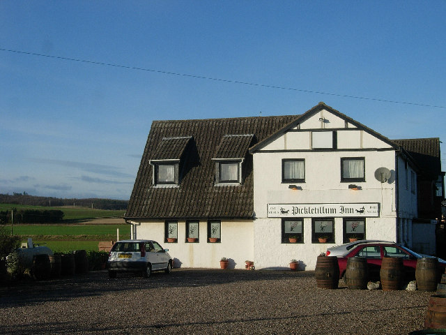
Pickletillum
Pickletillem or Pickletillum is a hamlet situated in Fife, Scotland. It is 9 miles (14 km) from the town of St. Andrews and 5.9 miles (9.5 km) from the...

Lady Leng Memorial Chapel
Lady Leng Memorial Chapel (also known as Vicarsford Cemetery Chapel) is a church building in Leuchars, Fife, Scotland. Built between 1895 and 1897, to...

Forgan (Fife)
Forgan is a civil parish in the Scottish county of Fife. It extends 4 miles in length along the north coast of Fife and is at the southern mouth of the...

Morton Lochs
Morton Lochs is part of Tentsmuir National Nature Reserve located near Tayport, in the north east of Fife, Scotland. It consists of three small lochs important...
Leuchars Castle
Leuchars Castle, was a castle that was located near Leuchars, Fife, Scotland.A motte and bailey castle was built in the 12th century. The town was created...
Lucklawhill
Lucklawhill is a hamlet one mile (1.6 km) northwest of the village of Balmullo in Fife, Scotland. Historically, Lucklawhill belonged to the Logie parish...
Leuchars (Old) railway station
Leuchars (Old) railway station served the town of Leuchars, Fife, Scotland from 1848 to 1921 on the Edinburgh and Northern Railway. == History == The station...
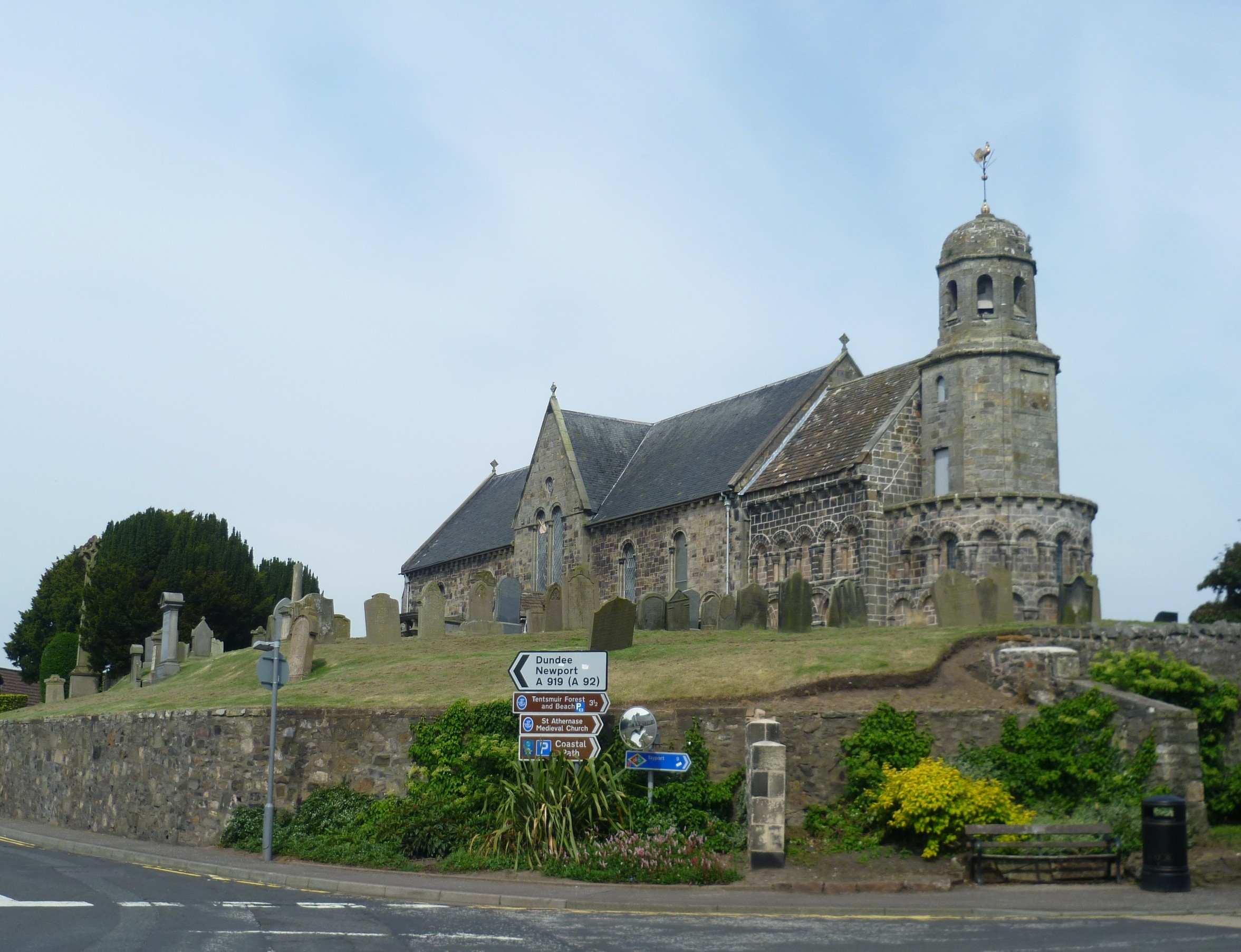
St Athernase Church
St Athernase Church is a Romanesque church located in Leuchars, Fife, Scotland. It is a Category A listed building and remains in use as a Church of Scotland...
Nearby Amenities
Located within 500m of 56.408781,-2.9004176Have you been to Craigie Hill?
Leave your review of Craigie Hill below (or comments, questions and feedback).