Brownthwaite Crag
Hill, Mountain in Westmorland Eden
England
Brownthwaite Crag

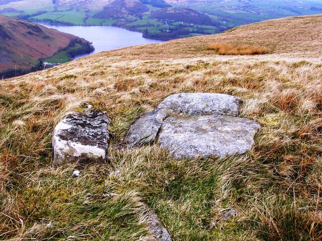
Brownthwaite Crag is a prominent hill/mountain located in the county of Westmorland, England. Standing at an elevation of approximately 1,066 feet (325 meters), it offers breathtaking panoramic views of the surrounding landscapes of the Lake District National Park.
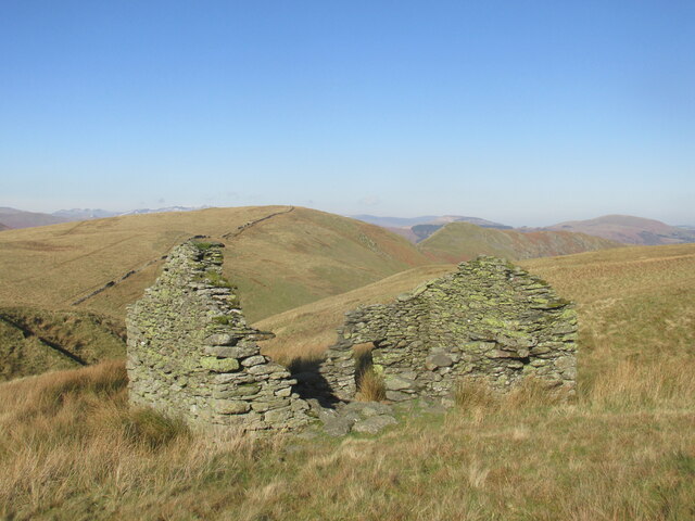
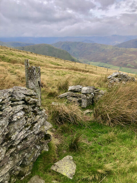
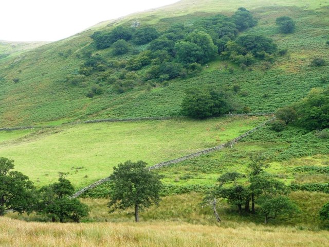
Situated in the southern part of the national park, Brownthwaite Crag forms part of the undulating rolling hills that characterize the area. It is composed mainly of sedimentary rocks and boasts a rocky, rugged terrain, making it a popular destination for hikers, mountaineers, and nature enthusiasts.
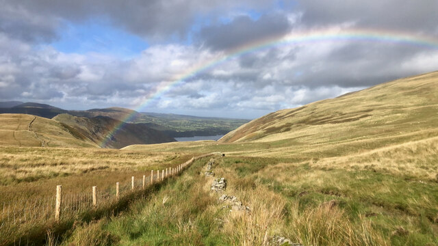
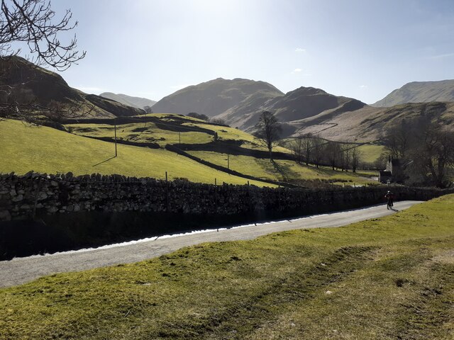
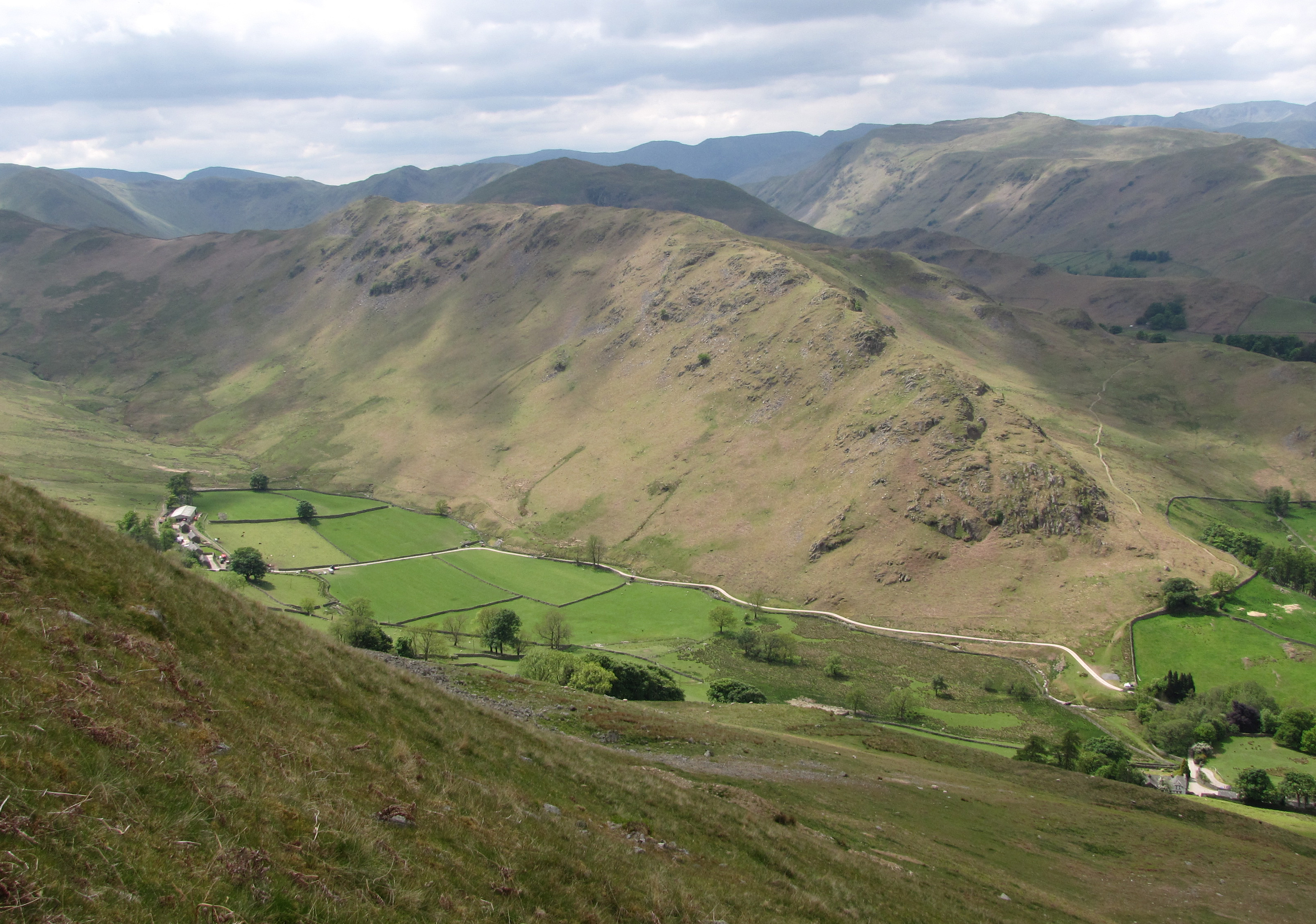
The summit of Brownthwaite Crag provides awe-inspiring vistas across the picturesque valleys and fells that encompass it. On a clear day, visitors can enjoy sweeping views of the nearby Lake Windermere, as well as glimpses of the stunning peaks of the central Lake District, such as the iconic Helvellyn and Scafell Pike.
The surrounding area is abundant in wildlife, with various bird species, including peregrine falcons and golden eagles, frequently spotted soaring above the crag. The diverse flora and fauna add to the natural beauty and allure of the location.
Access to Brownthwaite Crag is relatively straightforward, with several well-marked trails and footpaths leading to the summit. The hill/mountain is a popular destination for both experienced hikers and novices, offering a rewarding and invigorating outdoor experience.
Overall, Brownthwaite Crag in Westmorland is a stunning natural feature that showcases the unspoiled beauty of the Lake District. Its prominent position, rugged terrain, and breathtaking views make it a must-visit destination for nature lovers and outdoor enthusiasts alike.
If you have any feedback on the listing, please let us know in the comments section below.
Brownthwaite Crag Images
Images are sourced within 2km of 54.54834/-2.8624849 or Grid Reference NY4417. Thanks to Geograph Open Source API. All images are credited.


![Dale Head Farm, Martindale Looking down [north-east] from the Patterdale bridleway.](https://s3.geograph.org.uk/geophotos/04/68/51/4685191_95f99ff2.jpg)


Brownthwaite Crag is located at Grid Ref: NY4417 (Lat: 54.54834, Lng: -2.8624849)
Administrative County: Cumbria
District: Eden
Police Authority: Cumbria
What 3 Words
///singles.truly.niece. Near Shap, Cumbria
Nearby Locations
Related Wikis
Steel Knotts
Steel Knotts is a fell in the English Lake District, near to Ullswater in the Far Eastern Fells. It stands between the valleys of Fusedale and Martindale...

Martindale, Cumbria
Martindale is a valley, village and civil parish in Cumbria, England, situated within the Lake District National Park between the lakes of Ullswater and...
St Martin's Church, Martindale
St Martin's Church, Martindale is located in the valley of Martindale in Cumbria, England. It is often referred to as the "Old Church" to avoid confusion...

Loadpot Hill
Loadpot Hill is a fell in the English Lake District, between Haweswater and Ullswater. == Topography == Although of moderate height, Loadpot Hill and its...
Nearby Amenities
Located within 500m of 54.54834,-2.8624849Have you been to Brownthwaite Crag?
Leave your review of Brownthwaite Crag below (or comments, questions and feedback).