Carlehow Hill
Hill, Mountain in Cumberland Eden
England
Carlehow Hill
Carlehow Hill is a prominent natural feature located in Cumberland, a county in the northwest of England. It is classified as both a hill and a mountain, depending on the definition used. With an elevation of approximately 1,600 feet (487 meters), Carlehow Hill offers stunning panoramic views of the surrounding landscape.
Situated within the Lake District National Park, Carlehow Hill forms part of the beautiful Cumbrian Mountains. Its unique topography consists of rocky crags, heather-covered slopes, and some grassy areas. The hill is predominantly composed of volcanic rocks, which were formed millions of years ago during volcanic activity in the region.
Carlehow Hill is a popular destination for outdoor enthusiasts, including hikers and nature lovers. Several well-marked trails lead to the summit, providing visitors with a challenging yet rewarding hiking experience. The hill's diverse flora and fauna add to its appeal, as it is home to various species of birds, small mammals, and rare plant species.
The hill's location within the Lake District National Park also means that it is surrounded by other natural attractions. Nearby, visitors can explore picturesque lakes, such as Ullswater and Derwentwater, or venture into the charming towns and villages that dot the area.
Overall, Carlehow Hill in Cumberland is a stunning natural feature offering breathtaking views, diverse wildlife, and opportunities for outdoor activities. Whether one is seeking a challenging hike or simply wishes to immerse themselves in the beauty of the Lake District, Carlehow Hill is a must-visit destination.
If you have any feedback on the listing, please let us know in the comments section below.
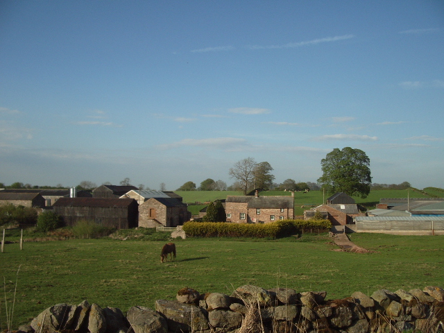
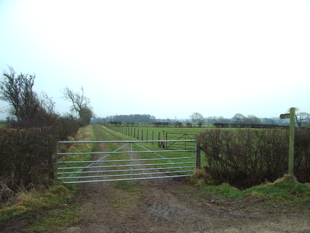
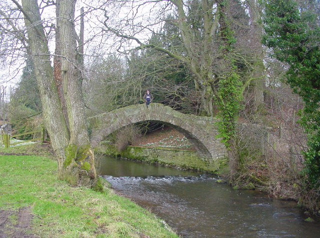
Carlehow Hill Images
Images are sourced within 2km of 54.76455/-2.867513 or Grid Reference NY4441. Thanks to Geograph Open Source API. All images are credited.


Carlehow Hill is located at Grid Ref: NY4441 (Lat: 54.76455, Lng: -2.867513)
Administrative County: Cumbria
District: Eden
Police Authority: Cumbria
What 3 Words
///firmly.highbrow.tugging. Near Dalston, Cumbria
Nearby Locations
Related Wikis

Morton, Eden
Morton is a hamlet near the village of Calthwaite, in the civil parishes of Hesket and Skelton, within the Eden district of the English county of Cumbria...

Calthwaite
Calthwaite is a small village in rural Cumbria, England, situated between the small market town of Penrith and the larger city of Carlisle. It is within...
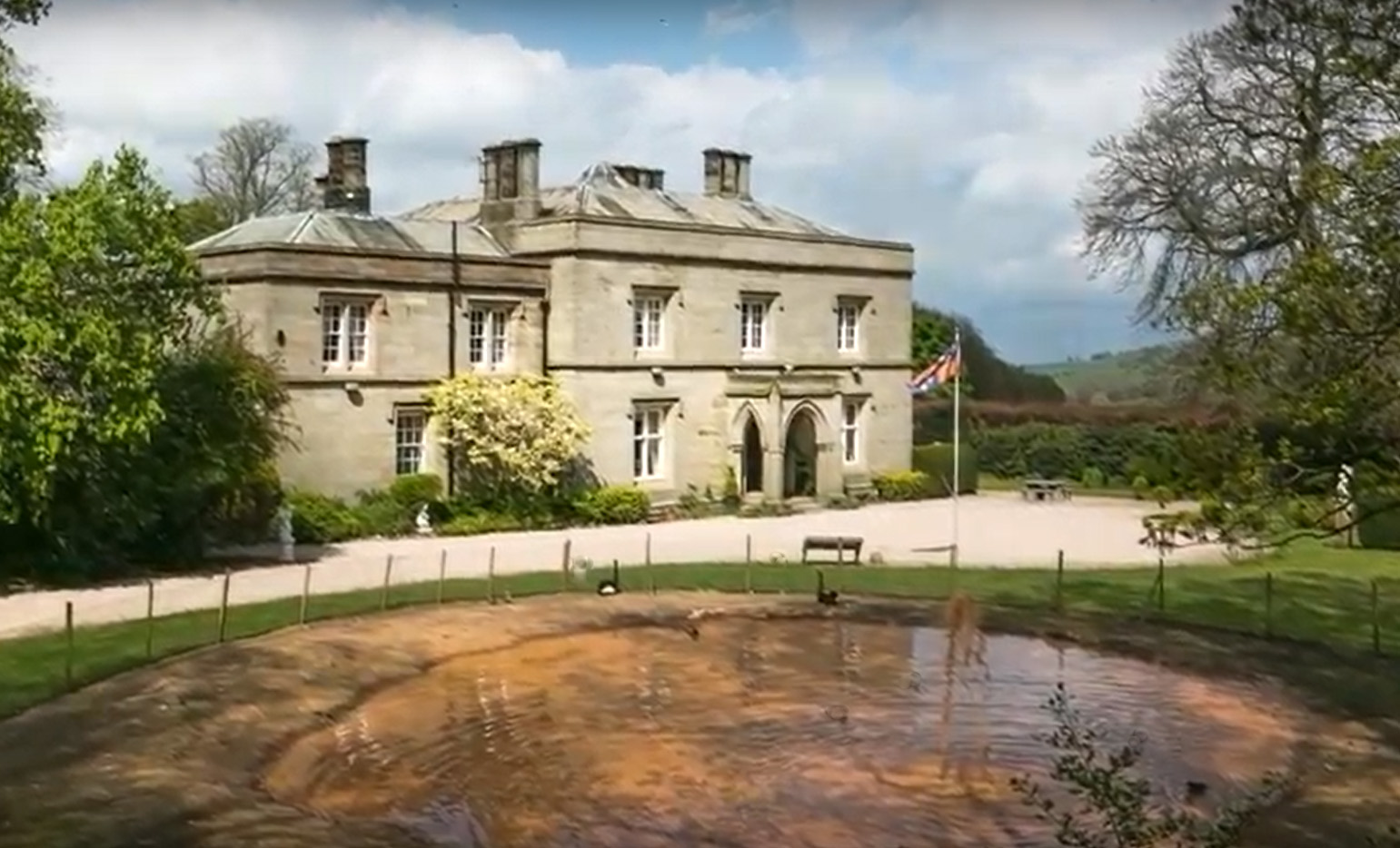
Calthwaite Hall
Calthwaite Hall, near Penrith in Cumbria, England, is a house of historical significance and is Grade II listed on the National Heritage List for England...
Ivegill
Ivegill is a small village in Cumbria, England. The village has one place of worship and a school. It is located on an unclassified road near Southwaite...

Calthwaite railway station
Calthwaite railway station in Hesket parish, was situated on the Lancaster and Carlisle Railway (the West Coast Main Line) between Carlisle and Penrith...
Southwaite Services
Southwaite services is a motorway service station, between junctions 41 and 42 of the M6 motorway near Southwaite, Cumbria, England. It is about 7 miles...

Middlesceugh
Middlesceugh is a hamlet in the civil parish of Skelton, in the Eden district, in the county of Cumbria, England. Middlesceugh has a SSSI called Middlesceugh...
Southwaite railway station
Southwaite railway station in Hesket parish, was situated on the Lancaster and Carlisle Railway (the West Coast Main Line) between Carlisle and Penrith...
Nearby Amenities
Located within 500m of 54.76455,-2.867513Have you been to Carlehow Hill?
Leave your review of Carlehow Hill below (or comments, questions and feedback).