Both Hill

Hill, Mountain in Aberdeenshire

Scotland

Both Hill

Aswanley Castle The castle is a private residence and not open to the public. There was no possibility, to get a little bit closer for a better shoot.
The river in front of the castle is the River Deveron.
Aswanley Castle Credit: Astrid H

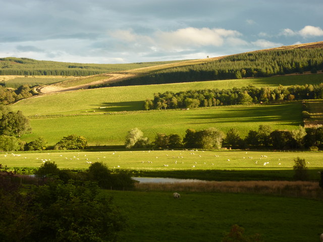
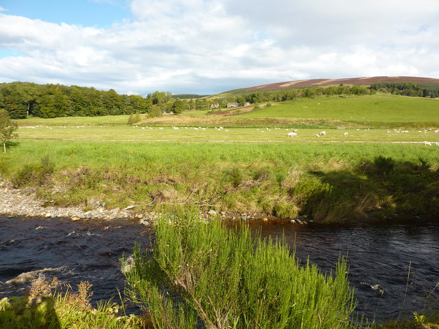
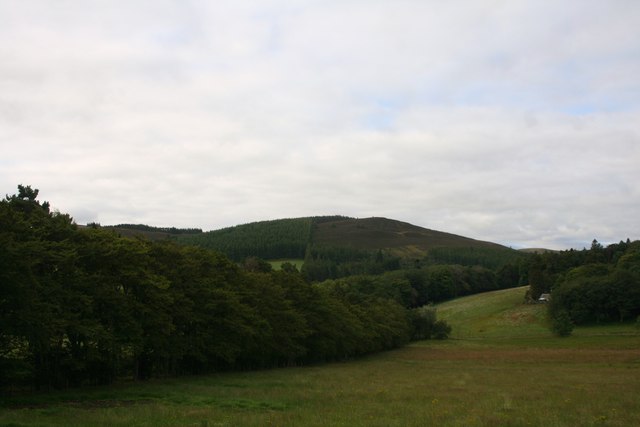
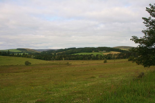
Both Hill is a prominent hill located in Aberdeenshire, Scotland. It is situated approximately 4 miles south-west of the town of Huntly and stands at an elevation of about 371 meters (1,217 feet) above sea level. The hill is part of the picturesque landscape of the region and offers stunning panoramic views of the surrounding countryside.

The terrain of Both Hill is mainly rugged and hilly, covered with heather and grasses, making it a popular destination for hikers and outdoor enthusiasts. The hill is easily accessible, with various trails and paths leading to its summit, providing an enjoyable and challenging hiking experience.

Both Hill is known for its rich biodiversity, with a variety of flora and fauna inhabiting its slopes. The hill is home to several species of birds, including red grouse and golden plovers, making it an excellent spot for birdwatchers. The surrounding area also supports a range of plant life, including heather, moss, and wildflowers.

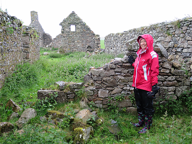
In addition to its natural beauty, Both Hill has historical significance. There are several ancient cairns and stone circles on the hill, indicating human activity in the area since prehistoric times. These archaeological features add an extra layer of fascination for visitors interested in exploring the region's history.

Overall, Both Hill in Aberdeenshire is a magnificent natural landmark that offers breathtaking views, diverse wildlife, and a glimpse into the region's ancient past. Whether hiking to its summit or simply admiring it from afar, Both Hill is a must-visit destination for nature lovers and history enthusiasts alike.

If you have any feedback on the listing, please let us know in the comments section below.
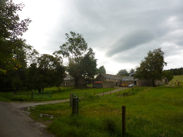
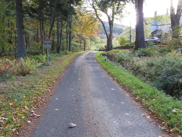
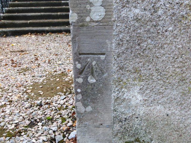
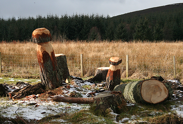
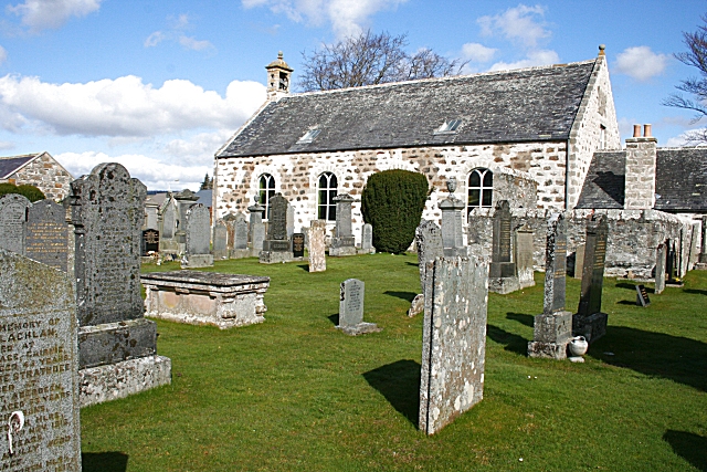
Both Hill Images

Images are sourced within 2km of 57.455258/-2.9321267 or Grid Reference NJ4440. Thanks to Geograph Open Source API. All images are credited.

Aswanley Castle The castle is a private residence and not open to the public. There was no possibility, to get a little bit closer for a better shoot.
The river in front of the castle is the River Deveron.
Aswanley Castle
The castle is a private residence and not open to the public. There was no possibility, to get a little bit closer for a better shoot. The river in front of the castle is the River Deveron.
Stable block at Aswanley <a href="https://www.geograph.org.uk/photo/1212162">NJ4339 : 'Sharpes of Aberdeen' workshops</a> refers to a workshop here; "Sharpes of Aberdeen"
Stable block at Aswanley
NJ4339 : 'Sharpes of Aberdeen' workshops refers to a workshop here; "Sharpes of Aberdeen"
Mains of Aswanley Mains in Scotland normally refers to the main buildings of a farm. This may include a farmhouse, farm buildings such as a byre and dairy, and workers' cottages.
The mains was usually the principal farm on an estate, or at least the one with the most fertile ground. The Laird's house - if there was one - may have been nearby or some distance away but is not usually part of the mains. The equivalent in England would be a home farm or perhaps a manor.
Mains of Aswanley
Mains in Scotland normally refers to the main buildings of a farm. This may include a farmhouse, farm buildings such as a byre and dairy, and workers' cottages. The mains was usually the principal farm on an estate, or at least the one with the most fertile ground. The Laird's house - if there was one - may have been nearby or some distance away but is not usually part of the mains. The equivalent in England would be a home farm or perhaps a manor.
Evening light at Aswanley Looking south over farmland from Wester Boghead.
Evening light at Aswanley
Looking south over farmland from Wester Boghead.
River Deveron at Aswanley Looking north towards Straitinnan at Wester Boghead.
River Deveron at Aswanley
Looking north towards Straitinnan at Wester Boghead.
Both Hill The wooded Both Hill by Belnaboth.
Both Hill
The wooded Both Hill by Belnaboth.
Pasture by Belnaboth Grassland by Belnaboth under Both Hill.
Pasture by Belnaboth
Grassland by Belnaboth under Both Hill.
Cattle Field by Cairnborrow Cattle grazing by Cairnbarrow Lodge.
Cattle Field by Cairnborrow
Cattle grazing by Cairnbarrow Lodge.
Straitinan, a cottage On the Aswanley estate, at Boghead, near the A920 between Huntley and Dufftown. Holiday cottage.
Straitinan, a cottage
On the Aswanley estate, at Boghead, near the A920 between Huntley and Dufftown. Holiday cottage.
Torry Farm
Torry Farm
Minor road at Torry Looking southward.
Minor road at Torry
Looking southward.
Ordnance Survey Cut Mark This mark can be found on the wall of the church at Torry. The benchmark height is recorded as being 192.249 metres above sea level.
For more detail see : <span class="nowrap"><a title="https://www.bench-marks.org.uk/bm101698" rel="nofollow ugc noopener" href="https://www.bench-marks.org.uk/bm101698">Link</a><img style="margin-left:2px;" alt="External link" title="External link - shift click to open in new window" src="https://s1.geograph.org.uk/img/external.png" width="10" height="10"/></span>
Ordnance Survey Cut Mark
This mark can be found on the wall of the church at Torry. The benchmark height is recorded as being 192.249 metres above sea level. For more detail see : LinkExternal link
Cairnmore One of several ruins of farm and croft buildings at Cairnmore. The scarlet-jacketed figure is a descendant of a family who lived here for about 250 years.
Cairnmore
One of several ruins of farm and croft buildings at Cairnmore. The scarlet-jacketed figure is a descendant of a family who lived here for about 250 years.
Nether Hilton Pleasantly situated on a south-facing slope, with the traditional clump of trees round it for added shelter.
Nether Hilton
Pleasantly situated on a south-facing slope, with the traditional clump of trees round it for added shelter.
Giant Toadstools Someone has apparently been enjoying using a chainsaw on tree stumps near the Burn of Hilton.
Giant Toadstools
Someone has apparently been enjoying using a chainsaw on tree stumps near the Burn of Hilton.
Minor road leading down to Torry
Minor road from A920 to Invermarkie Looking south-westward.
Minor road from A920 to Invermarkie
Looking south-westward.
Minor road at Torry Looking north-eastward.
Minor road at Torry
Looking north-eastward.
Show me another place!

Both Hill is located at Grid Ref: NJ4440 (Lat: 57.455258, Lng: -2.9321267)

Unitary Authority: Aberdeenshire

Police Authority: North East

What 3 Words

///spiking.unite.abode. Near Huntly, Aberdeenshire

Nearby Locations

Both Hill

Related Wikis

Blairmore School

Blairmore School was an independent boarding preparatory school in Glass near Huntly, Aberdeenshire until its closure in 1993. The site is now owned and...

Torry Burn, Huntly

Torry Burn is a burn which marks the boundary of the parish of Huntly, Aberdeenshire, Scotland. == References ==

Ardonald

Ardonald is a rural area near Cairnie in Aberdeenshire, Scotland. == References ==

Glass, Aberdeenshire

Glass is a parish about 8 miles west of Huntly, Aberdeenshire, Scotland. It is now wholly located in Aberdeenshire but before the reorganisation of Scottish...
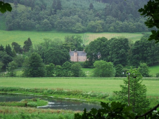
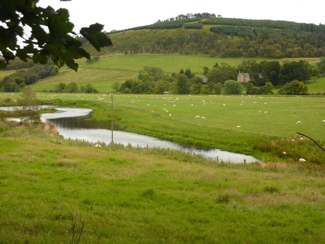
Beldorney Castle

Beldorney Castle is a Z-plan castle dating from the mid-16th century, about two miles south of Glass, in hilly country in the valley of the Deveron, in...

Pitlurg Castle

Pitlurg Castle was a 16th-century keep, about 3.5 miles (5.6 km) south of Keith, Banffshire, Scotland, north of the Burn of Davidston, at Mains of Pitlurg...

Cairnie

Cairnie, also written Cairney, (Scottish Gaelic: CĂ rnaidh/A' ChĂ rnaich) is a village in Aberdeenshire, Scotland. It is in the district of Huntly. It has...

Kye Hill

Kye Hill is a hill by Huntly, Aberdeenshire, Scotland. It lies southwest of The Clashmach hill and is nearly the same height. There is a former limestone...

Nearby Amenities

Located within 500m of 57.455258,-2.9321267
Both Hill
Ele: 328
Natural: peak
Lat/Long: 57.4549244/-2.9306054
Material: wood
Power: pole
Lat/Long: 57.4507939/-2.932911
Material: wood
Power: pole
Lat/Long: 57.4509242/-2.934054
The data included in this document is from www.openstreetmap.org. The data is made available under ODbL.

Have you been to Both Hill?

Leave your review of Both Hill below (or comments, questions and feedback).