Bairn's Hill

Hill, Mountain in Aberdeenshire

Scotland

Bairn's Hill

Ruined croft on the Moss of Tolophin
Ruined croft on the Moss of Tolophin Credit: Peter Moore

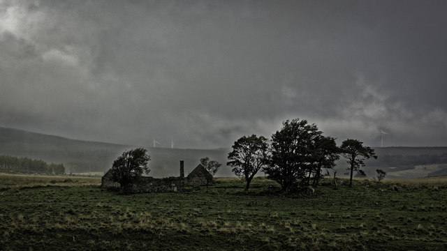
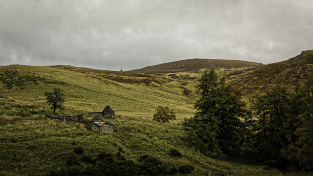
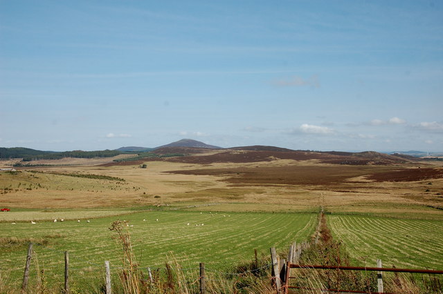
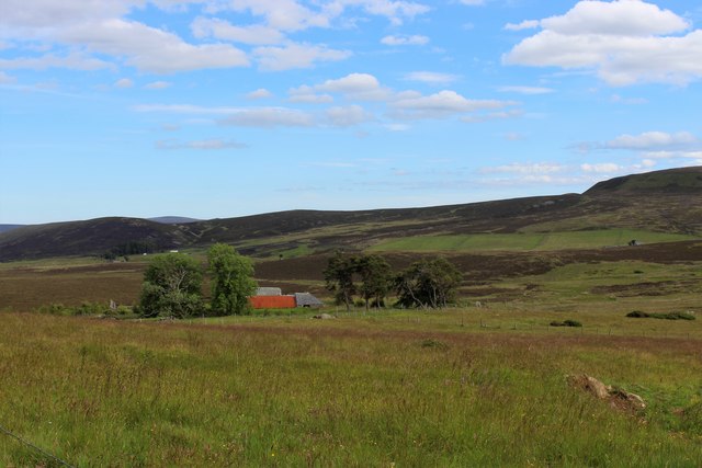
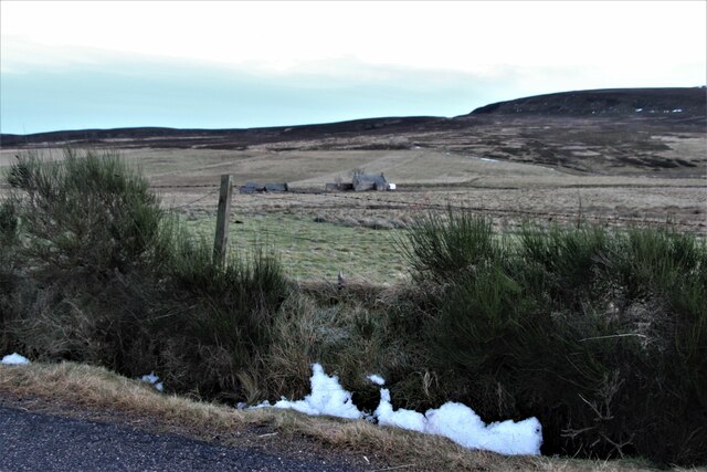
Bairn's Hill is a prominent landmark located in Aberdeenshire, Scotland. Standing at an elevation of approximately 600 meters, it is considered a medium-sized hill in the region. The hill is situated amidst the picturesque countryside, offering breathtaking views of the surrounding landscape.

Bairn's Hill is characterized by its gently sloping terrain and is covered with lush green vegetation, including heather, grasses, and scattered shrubs. The hill is predominantly composed of granite, which gives it a distinctive appearance and adds to its scenic beauty. It is believed that the hill was formed during the last ice age, as a result of glacial activity in the area.

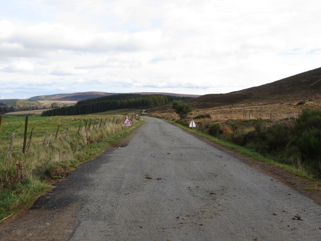
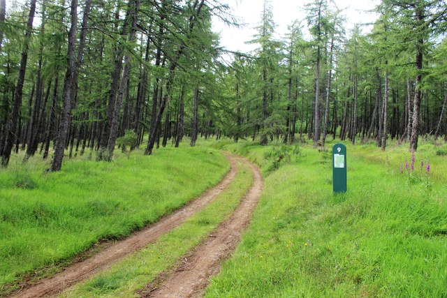
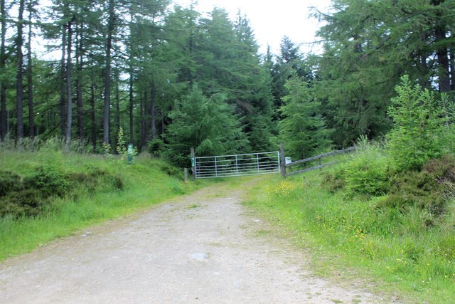
The hill is a popular destination for hikers and nature enthusiasts due to its accessibility and stunning vistas. Several well-marked trails lead visitors to the summit, where they can enjoy panoramic views of Aberdeenshire and the distant mountains. On clear days, it is even possible to catch a glimpse of the North Sea from the hilltop.

Bairn's Hill is also home to a diverse range of flora and fauna. It provides habitat for various bird species, including red grouse, skylarks, and meadow pipits. The hill's vegetation supports a variety of insects and small mammals as well.

Overall, Bairn's Hill offers visitors an opportunity to connect with nature and experience the beauty of the Scottish countryside. Its accessibility, scenic views, and diverse ecosystem make it an ideal destination for outdoor enthusiasts seeking a peaceful and refreshing escape.

If you have any feedback on the listing, please let us know in the comments section below.
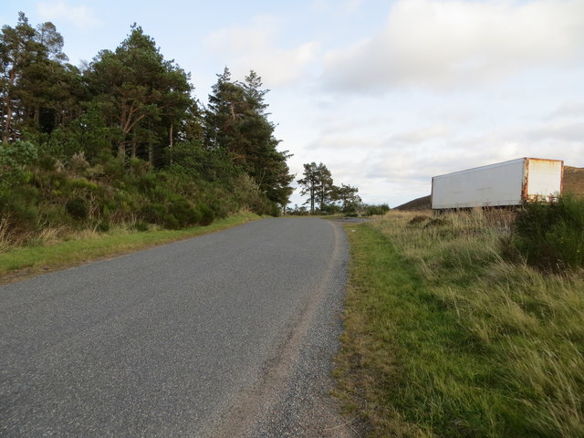
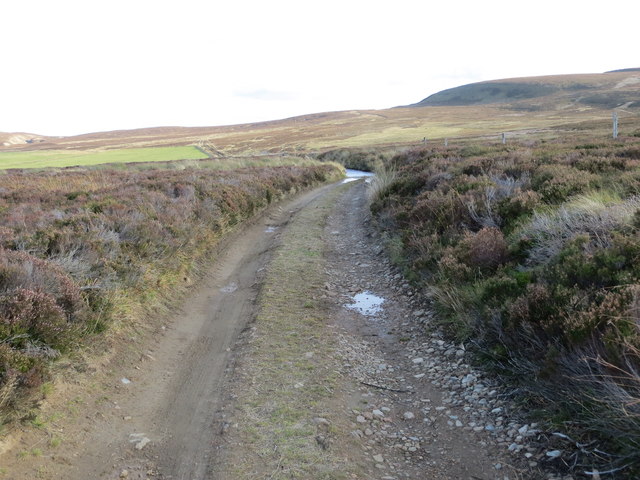
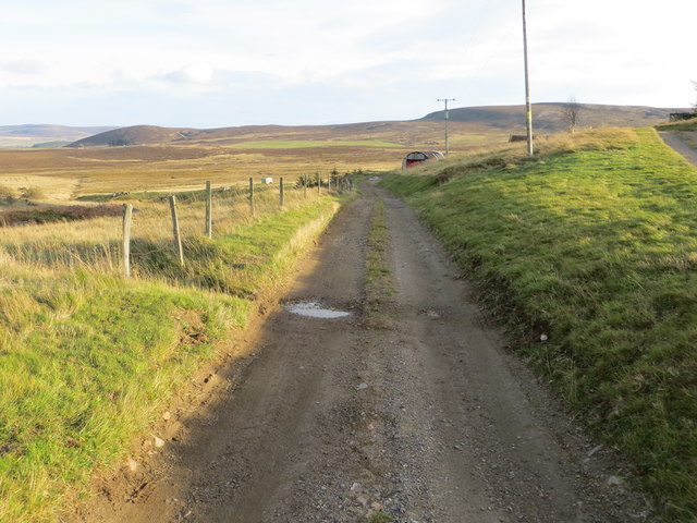
Bairn's Hill Images

Images are sourced within 2km of 57.319255/-2.9318353 or Grid Reference NJ4325. Thanks to Geograph Open Source API. All images are credited.

Ruined croft on the Moss of Tolophin
Ruin at Whitehillock
Ruin of Whitehillock farm A ruined farmhouse and water mill beside the Burn of Craig.  Canmore reference 106033: <span class="nowrap"><a title="https://canmore.org.uk/site/106033/whitehillock" rel="nofollow ugc noopener" href="https://canmore.org.uk/site/106033/whitehillock">Link</a><img style="margin-left:2px;" alt="External link" title="External link - shift click to open in new window" src="https://s1.geograph.org.uk/img/external.png" width="10" height="10"/></span> .
Ruin of Whitehillock farm
A ruined farmhouse and water mill beside the Burn of Craig. Canmore reference 106033: LinkExternal link .
View down the valley of the Burn of Craig Tap o'Noth (elev. 563 m) looms in the background.
View down the valley of the Burn of Craig
Tap o'Noth (elev. 563 m) looms in the background.
Road (B9002) near Stony Knap Looking south-eastward.
Road (B9002) near Stony Knap
Looking south-eastward.
Road (B9002) at Broom Stripe Looking north-westward.
Road (B9002) at Broom Stripe
Looking north-westward.
Road (B9002) near Whitehillock Looking westward.
Road (B9002) near Whitehillock
Looking westward.
Road (B9002) at Innesbrae Looking eastward.
Road (B9002) at Innesbrae
Looking eastward.
Moorland track near Broomhill heading towards Silverford Bridge Looking south-eastward.
Moorland track near Broomhill heading towards Silverford Bridge
Looking south-eastward.
Farm track to Elrick Looking south-eastward.
Farm track to Elrick
Looking south-eastward.
Ordnance Survey Flush Bracket 11888 This bracket can be found on the wall of a building at Elrick. The benchmark height is recorded as being 403.962 metres above sea level.
For more detail see : <span class="nowrap"><a title="https://www.bench-marks.org.uk/bm21899" rel="nofollow ugc noopener" href="https://www.bench-marks.org.uk/bm21899">Link</a><img style="margin-left:2px;" alt="External link" title="External link - shift click to open in new window" src="https://s1.geograph.org.uk/img/external.png" width="10" height="10"/></span>
Ordnance Survey Flush Bracket 11888
This bracket can be found on the wall of a building at Elrick. The benchmark height is recorded as being 403.962 metres above sea level. For more detail see : LinkExternal link
Grass Field before Blackmiddens Grassland leading down to the red roofed ruin of Blackmiddens.
Grass Field before Blackmiddens
Grassland leading down to the red roofed ruin of Blackmiddens.
Clashindarroch Trail 9 The entrance to forest trail 9 at Clashindarroch, used for a ski trail in winter and footpath in summer.
Clashindarroch Trail 9
The entrance to forest trail 9 at Clashindarroch, used for a ski trail in winter and footpath in summer.
Forest Trail 10 Amenity trail 10 in Clashindarroch.
Forest Trail 10
Amenity trail 10 in Clashindarroch.
Rough pasture at Silverford A disused farmstead.
Rough pasture at Silverford
A disused farmstead.
Track to Moss of Tolophin Burn of Buck runs down the depression on the right.
Track to Moss of Tolophin
Burn of Buck runs down the depression on the right.
Clashindarroch Forest A scrubby clearing beside the track just after entering Clashindarroch Forest from the A941.
Clashindarroch Forest
A scrubby clearing beside the track just after entering Clashindarroch Forest from the A941.
Firebreak? This gap doesn't really look wide enough to be very effective as a firebreak.
Firebreak?
This gap doesn't really look wide enough to be very effective as a firebreak.
Show me another place!

Bairn's Hill is located at Grid Ref: NJ4325 (Lat: 57.319255, Lng: -2.9318353)

Unitary Authority: Aberdeenshire

Police Authority: North East

What 3 Words

///massaged.orders.dodging. Near Huntly, Aberdeenshire

Related Wikis

Clashindarroch Forest

Clashindarroch Forest is possibly the largest forest in Aberdeenshire, situated to the south-west of the market town of Huntly. Managed by Forest Enterprise...

Lesmoir Castle

Lesmoir Castle was a 16th-century castle, about 2.0 miles (3.2 km) west of Rhynie, Aberdeenshire, Scotland, south-west of Tap o' Noth, at Mains of Lesmoir...

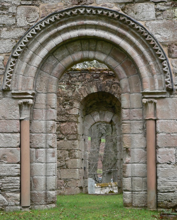
St Mary's Kirk, Auchindoir

St Mary's Kirk at Auchindoir, between Rhynie and Lumsden, in Aberdeenshire, Scotland, is one of the country's finest surviving medieval parish kirks. The...

Clova Monastery

Clova Monastery (also called Cloveth) was a medieval Culdee monastery in Kildrummy, Aberdeenshire, Scotland. == Founding == Clova was founded in the late...

Nearby Amenities

Located within 500m of 57.319255,-2.9318353
Bogs
Place: locality
Lat/Long: 57.3168851/-2.9291172
The data included in this document is from www.openstreetmap.org. The data is made available under ODbL.

Have you been to Bairn's Hill?

Leave your review of Bairn's Hill below (or comments, questions and feedback).