Bendhue Hill

Hill, Mountain in Westmorland South Lakeland

England

Bendhue Hill

Lane off Hyning Brow
Lane off Hyning Brow Credit: Anthony Parkes

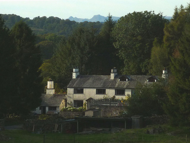
Bendhue Hill, located in Westmorland, is a prominent hill or mountain that forms part of the stunning landscape of the Lake District National Park in Cumbria, England. Standing at an impressive height of around 385 meters (1,263 feet), it offers breathtaking views of the surrounding countryside.

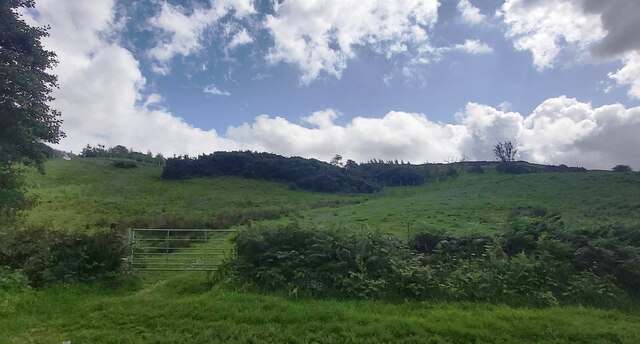
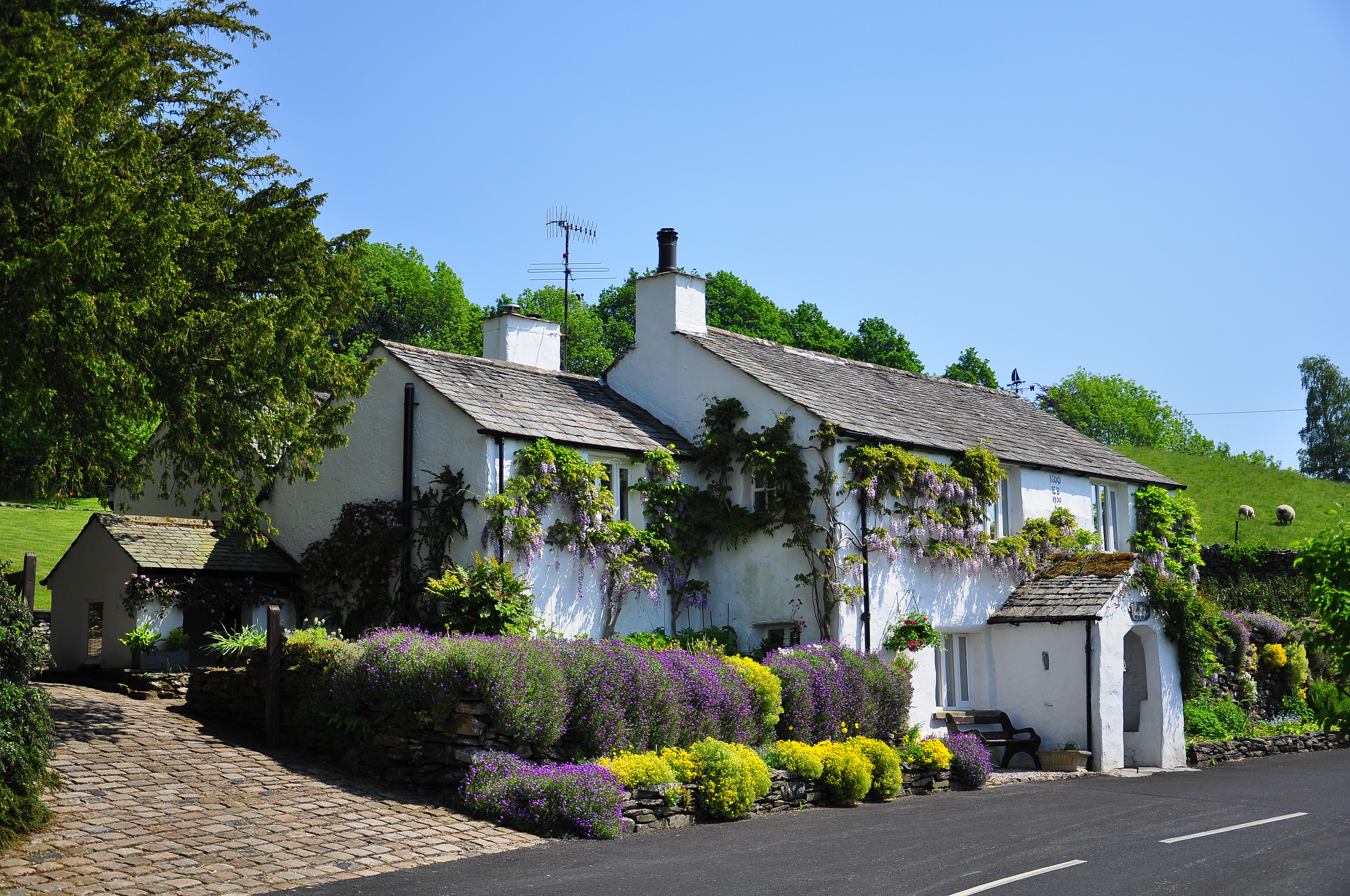
Bendhue Hill boasts a distinctive shape with a gentle slope on one side and a steep incline on the other. The hill is characterized by its lush greenery, with grassy slopes and patches of heather covering its surface. The hilltop is adorned with craggy rocks, providing a picturesque backdrop against the clear blue skies.

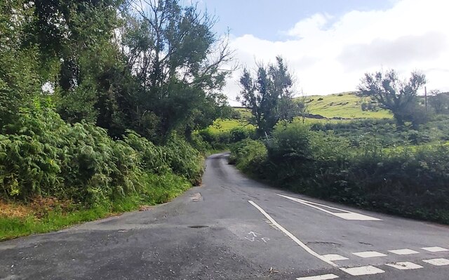
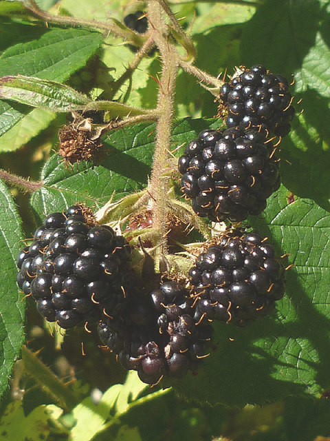
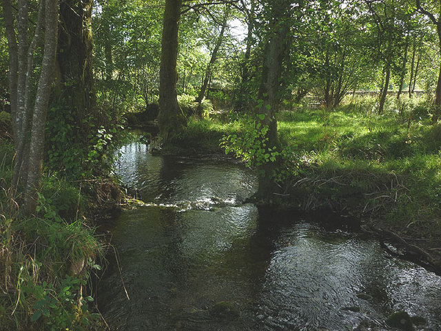
The ascent to Bendhue Hill is a popular trek for outdoor enthusiasts. Several well-marked footpaths and trails allow hikers and walkers to explore the area's natural beauty. The climb to the summit is moderately challenging, offering a rewarding experience for those who reach the top. During the ascent, visitors can observe various species of wildlife, including birds, rabbits, and occasionally, deer.

From the summit of Bendhue Hill, visitors are treated to panoramic vistas of the surrounding countryside. On a clear day, one can marvel at the sweeping views of the Lake District, including nearby peaks, rolling hills, and picturesque valleys. The hill's elevated position also provides a prime vantage point for capturing stunning photographs of the landscape.

Overall, Bendhue Hill is a captivating destination for nature lovers and outdoor enthusiasts alike. Its scenic beauty, coupled with its accessibility, makes it a favored spot for hiking, photography, and simply enjoying the tranquility of the Lake District's stunning natural environment.

If you have any feedback on the listing, please let us know in the comments section below.

Bendhue Hill Images

Images are sourced within 2km of 54.318948/-2.8637508 or Grid Reference SD4391. Thanks to Geograph Open Source API. All images are credited.

Lane off Hyning Brow
Mireside Farm
Mireside Farm
Mill Lane
Mill Lane
Tarnside Farm
Tarnside Farm
Head Lane
Head Lane
Hubbersty Head Lane
Hubbersty Head Lane
Track up Windyhowe Hill
Whitbarrow Road Witbarrow Road approaching Fellend Plantation.
Whitbarrow Road
Witbarrow Road approaching Fellend Plantation.
Whitbarrow Road Wild Garlic growing alongside Whitbarrow Road.
Whitbarrow Road
Wild Garlic growing alongside Whitbarrow Road.
2015 - a great year for blackberries The hedgerows this autumn have been full of juicy blackberries, the best I can recall for some time. This particular bunch near Crosthwaite did not long survive the photograph!
2015 - a great year for blackberries
The hedgerows this autumn have been full of juicy blackberries, the best I can recall for some time. This particular bunch near Crosthwaite did not long survive the photograph!
Outbuildings at Hardriggs, Crosthwaite Former farm buildings, they look too clean and tidied-up to be still used as such. A planning application has been passed for its conversion to a dwelling <span class="nowrap"><a title="http://www.lakedistrict.gov.uk/swiftlg/apas/run/WPHAPPDETAIL.DisplayUrl?theApnID=7/2015/5225&theTabNo=3&backURL=%3Ca%20href=wphappcriteria.display%3ESearch%20Criteria%3C/a%3E%20%3E%20%3Ca%20href=%27wphappsearchres.displayResultsURL?ResultID=1044769%26StartIndex=41%26SortOrder=apnkey%20desc%26DispResultsAs=WPHAPPSEARCHRES%26BackURL=%3Ca%20href=wphappcriteria.display%3ESearch%20Criteria%3C/a%3E%27%3ESearch%20Results%3C/a%3E" rel="nofollow ugc noopener" href="http://www.lakedistrict.gov.uk/swiftlg/apas/run/WPHAPPDETAIL.DisplayUrl?theApnID=7/2015/5225&theTabNo=3&backURL=%3Ca%20href=wphappcriteria.display%3ESearch%20Criteria%3C/a%3E%20%3E%20%3Ca%20href=%27wphappsearchres.displayResultsURL?ResultID=1044769%26StartIndex=41%26SortOrder=apnkey%20desc%26DispResultsAs=WPHAPPSEARCHRES%26BackURL=%3Ca%20href=wphappcriteria.display%3ESearch%20Criteria%3C/a%3E%27%3ESearch%20Results%3C/a%3E">Link</a><img style="margin-left:2px;" alt="External link" title="External link - shift click to open in new window" src="https://s1.geograph.org.uk/img/external.png" width="10" height="10"/></span>
Outbuildings at Hardriggs, Crosthwaite
Former farm buildings, they look too clean and tidied-up to be still used as such. A planning application has been passed for its conversion to a dwelling LinkExternal link
The River Gilpin below Foxhole Bank Viewed from the bridge that carries the access track/footpath.
The River Gilpin below Foxhole Bank
Viewed from the bridge that carries the access track/footpath.
Footbridge over the Gilpin at Dodds Howe, Crosthwaite This simple stone slab bridge is possibly 18th or 19th century and is a Grade II listed structure <span class="nowrap"><a title="http://www.britishlistedbuildings.co.uk/en-77098-footbridge-approximately-70-metres-to-wes#.VglcRH06tI4" rel="nofollow ugc noopener" href="http://www.britishlistedbuildings.co.uk/en-77098-footbridge-approximately-70-metres-to-wes#.VglcRH06tI4">Link</a><img style="margin-left:2px;" alt="External link" title="External link - shift click to open in new window" src="https://s1.geograph.org.uk/img/external.png" width="10" height="10"/></span>
Footbridge over the Gilpin at Dodds Howe, Crosthwaite
This simple stone slab bridge is possibly 18th or 19th century and is a Grade II listed structure LinkExternal link
Mirk Howe Large house above the River Gilpin near Crosthwaite.
Mirk Howe
Large house above the River Gilpin near Crosthwaite.
Heading for the Gilpin A pleasant route descends through pastureland from Head Lane down towards the River Gilpin.
Heading for the Gilpin
A pleasant route descends through pastureland from Head Lane down towards the River Gilpin.
Greenbank Farm The distinctive outline of the Langdale Pikes on the skyline.
Greenbank Farm
The distinctive outline of the Langdale Pikes on the skyline.
Sheep on Windyhowe Hill On the footpath south of Greenbank Farm.
Sheep on Windyhowe Hill
On the footpath south of Greenbank Farm.
Parish boundary stone Carved with Crosthwaite and Winster on opposite sides.
Parish boundary stone
Carved with Crosthwaite and Winster on opposite sides.
Show me another place!

Bendhue Hill is located at Grid Ref: SD4391 (Lat: 54.318948, Lng: -2.8637508)

Administrative County: Cumbria

District: South Lakeland

Police Authority: Cumbria

What 3 Words

///reclusive.muted.grows. Near Staveley, Cumbria

Related Wikis

Crosthwaite

Crosthwaite is a small village located in the Parish of Crosthwaite and Lyth, South Lakeland, Cumbria, England. It is in the Lake District National Park...

South Lakeland

South Lakeland was a local government district in Cumbria, England, from 1974 to 2023. Its council was based in Kendal. The district covered the southern...

Westmorland and Lonsdale (UK Parliament constituency)

Westmorland and Lonsdale is a constituency in the south of Cumbria, represented in the House of Commons of the UK Parliament since 2005 by Tim Farron,...

Sedbergh Rural District

Sedbergh Rural District was a rural district in the West Riding of Yorkshire in England from 1894 to its abolition in 1974. The district consisted of the...

Winster, Cumbria

Winster is a village in the South Lakeland District of Cumbria, in North West England. Historically within the county of Westmorland, it is situated less...

Lyth Valley

The Lyth Valley is on the edge of the Lake District National Park in Cumbria, England. It gives its name to an electoral ward (one of 45 in South Lakeland...

Underbarrow

Underbarrow is a small village in Cumbria, England, located 3 miles (4.8 km) west of Kendal. The village is in the Lake District National Park. It is in...

Cowmire Hall

Cowmire Hall is a country house near Crosthwaite in Cumbria, England. The hall, the garden wall and gate piers are recorded in the National Heritage List...

Nearby Amenities

Located within 500m of 54.318948,-2.8637508
Crosthwaite Green
Place: village
Source: npe
Lat/Long: 54.3159738/-2.8661589
Barrier: kissing_gate
Lat/Long: 54.3155376/-2.8659575
Post Box
Collection Times: Mo-Fr 11:30; Sa 09:00
Drive Through: no
Post Box Type: lamp
Ref: LA8 33
Source: survey
Lat/Long: 54.3160378/-2.8651779
Give Way
Direction: backward
Lat/Long: 54.3159857/-2.8661811
Turning Circle
Lat/Long: 54.3157944/-2.8597923
Generator Method: photovoltaic
Generator Orientation: south
Generator Output Electricity: yes
Generator Solar Modules: 8
Generator Source: solar
Generator Type: solar_photovoltaic_panel
Location: roof
Power: generator
Lat/Long: 54.3172365/-2.866457
Generator Method: photovoltaic
Generator Orientation: south_east
Generator Output Electricity: yes
Generator Solar Modules: 8
Generator Source: solar
Generator Type: solar_photovoltaic_panel
Location: roof
Power: generator
Lat/Long: 54.3170671/-2.8668775
Generator Method: photovoltaic
Generator Orientation: south_west
Generator Output Electricity: yes
Generator Solar Modules: 8
Generator Source: solar
Generator Type: solar_photovoltaic_panel
Location: roof
Power: generator
Lat/Long: 54.3170525/-2.8660696
Give Way
Direction: backward
Lat/Long: 54.3161319/-2.8663933
Turning Circle
Lat/Long: 54.3157476/-2.8596292
Give Way
Direction: backward
Lat/Long: 54.3150332/-2.8608416
Power: pole
Lat/Long: 54.3151242/-2.8665772
Power: pole
Lat/Long: 54.3204968/-2.8708099
Power: pole
Lat/Long: 54.3198814/-2.8706418
Power: pole
Lat/Long: 54.3191913/-2.8702303
Power: pole
Lat/Long: 54.3186655/-2.8699085
Power: pole
Lat/Long: 54.3178996/-2.8694412
Power: pole
Lat/Long: 54.3173761/-2.8691248
Power: pole
Lat/Long: 54.3165631/-2.8686344
Barrier: stile
Lat/Long: 54.3189669/-2.8702088
Barrier: stile
Lat/Long: 54.317306/-2.8698107
Barrier: kissing_gate
Lat/Long: 54.3170357/-2.8689909
Power: pole
Lat/Long: 54.3158402/-2.8673389
Power: pole
Lat/Long: 54.3162687/-2.8684586
Power: pole
Lat/Long: 54.3148065/-2.8636901
Power: pole
Lat/Long: 54.3147268/-2.8631291
The data included in this document is from www.openstreetmap.org. The data is made available under ODbL.

Have you been to Bendhue Hill?

Leave your review of Bendhue Hill below (or comments, questions and feedback).