Clean Hill
Hill, Mountain in Banffshire
Scotland
Clean Hill
Clean Hill is a prominent and picturesque mountain located in Banffshire, Scotland. With an elevation of 1,034 meters (3,392 feet), it stands as one of the most imposing peaks in the region. Clean Hill is situated in the eastern part of Banffshire, near the town of Glenlivet, and forms part of the Grampian Mountains range.
The mountain's name, Clean Hill, is derived from the Gaelic phrase "cluan," meaning a meadow or pastureland. This etymology is fitting, as the lower slopes of Clean Hill are indeed covered in lush green meadows, providing a serene and idyllic setting. However, as one ascends towards the summit, the landscape gradually transforms into a rugged terrain, characterized by craggy rocks and scree slopes.
Clean Hill offers a challenging yet rewarding climb for outdoor enthusiasts and mountaineers. It features several well-defined trails and paths that cater to different levels of hiking experience. The summit provides breathtaking panoramic views of the surrounding countryside, including the Cairngorms National Park and the Spey Valley.
The mountain is also home to a diverse range of wildlife and flora. Red deer, mountain hares, and ptarmigans are commonly spotted on the slopes of Clean Hill, while a variety of alpine plants and wildflowers adorn its rocky slopes.
Clean Hill holds significant historical and cultural importance as well. It has been a site of traditional Scottish gatherings, such as the Highland Games, which continue to be held in the vicinity. Its rich history and natural beauty make Clean Hill a must-visit destination for outdoor enthusiasts and nature lovers alike.
If you have any feedback on the listing, please let us know in the comments section below.
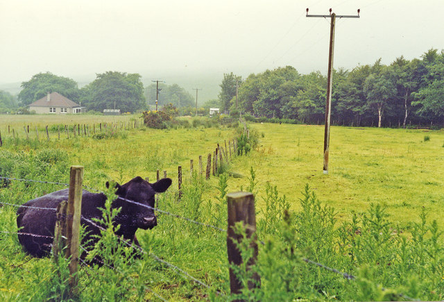
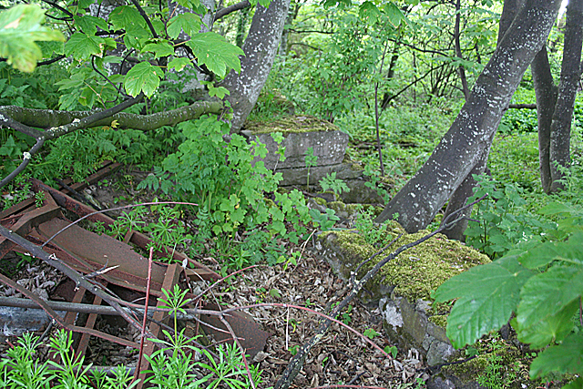
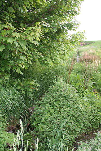
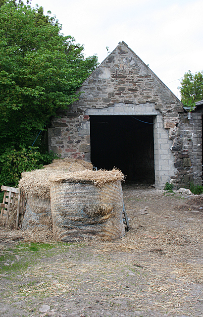
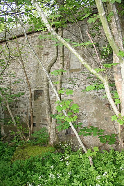
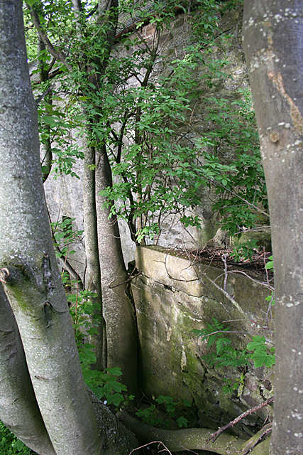
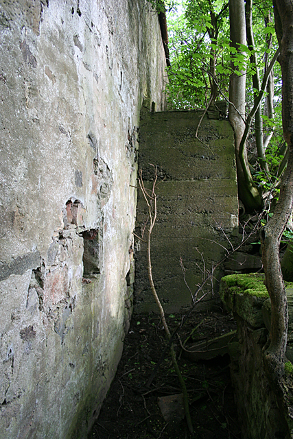
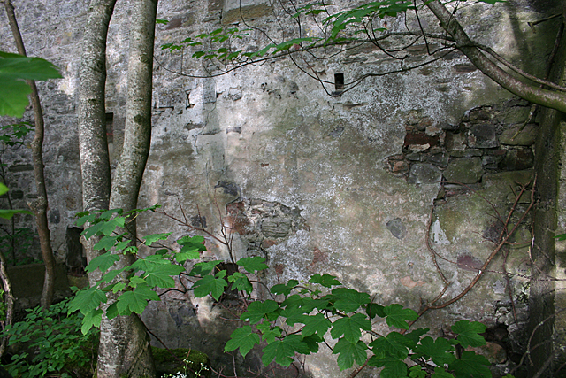
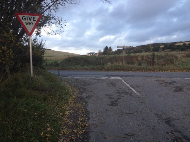
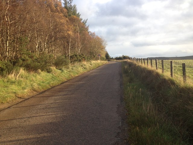
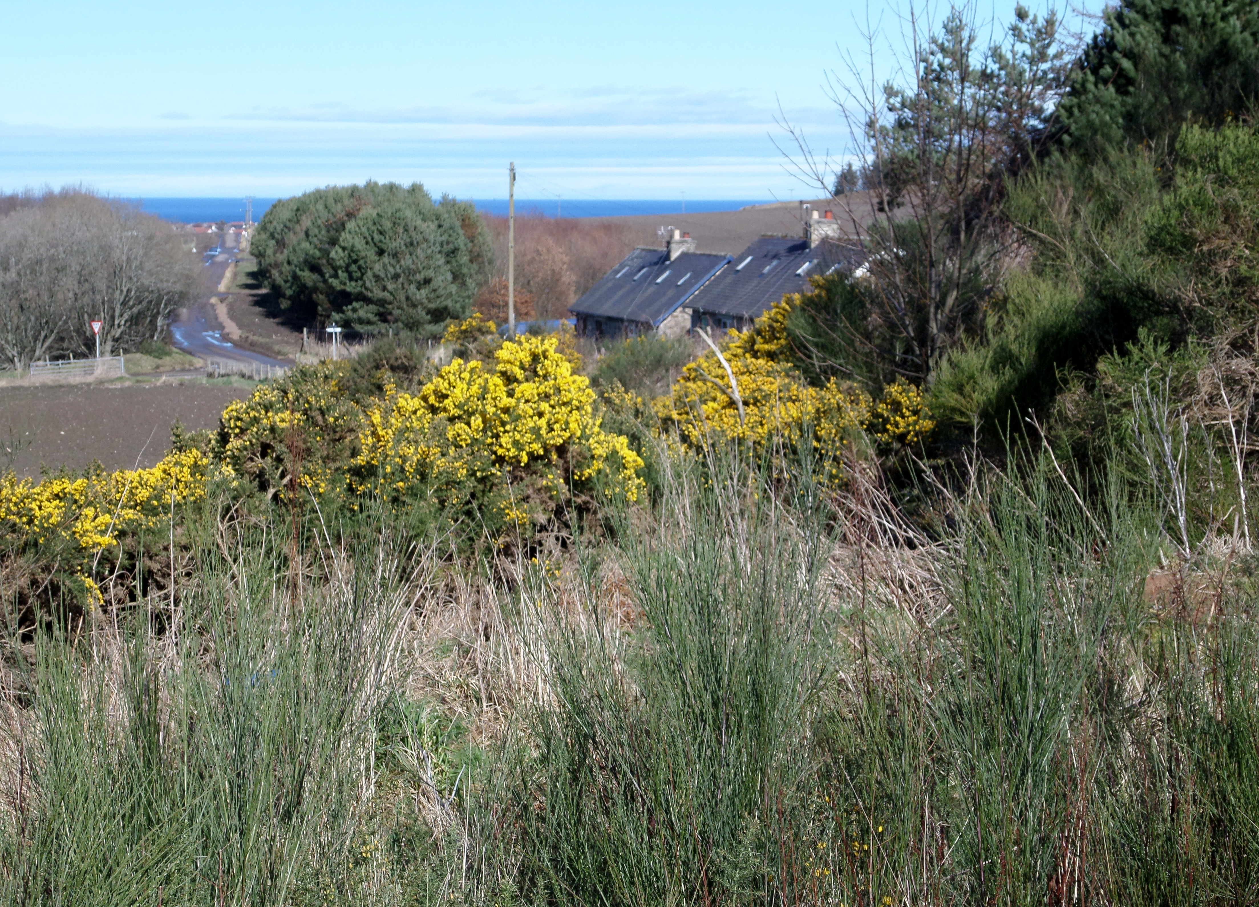
Clean Hill Images
Images are sourced within 2km of 57.660976/-2.9417896 or Grid Reference NJ4363. Thanks to Geograph Open Source API. All images are credited.


Clean Hill is located at Grid Ref: NJ4363 (Lat: 57.660976, Lng: -2.9417896)
Unitary Authority: Moray
Police Authority: North East
What 3 Words
///newspaper.tiptoes.energetic. Near Buckie, Moray
Nearby Locations
Related Wikis

Buckie railway station (Highland Railway)
Buckie railway station was one of two stations which once served the town of Buckie, in the parish of Rathven, Scottish county of Moray. This Highland...
Rathven railway station
Rathven railway station was a station which served the hamlet of that name, about a mile away in the parish of Rathven, Scottish county of Moray. It was...
Drybridge Platform railway station
Drybridge Platform railway station or Drybridge railway station was a station which served the hamlet of that name in the parish of Rathven and in addition...

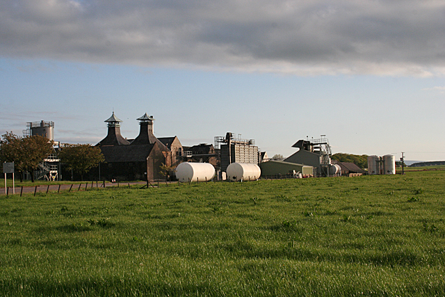
Inchgower distillery
Inchgower distillery is a whisky distillery producing a single malt of the same name located on the outskirts of Buckie, Moray, Scotland. == History... ==
Letterfourie House
Letterfourie House is a Georgian house in Moray, built by Robert Adam and completed in 1773. Its main block has three main storeys, with a raised cellar...

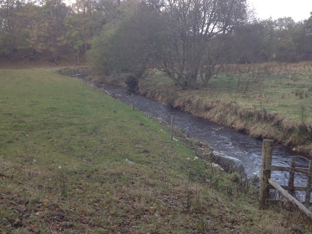
Craigmin Bridge
Craigmin Bridge is an eighteenth century bridge within the grounds of Letterfourie House, in Moray, Scotland. Spanning the Burn of Letterfourie, it once...
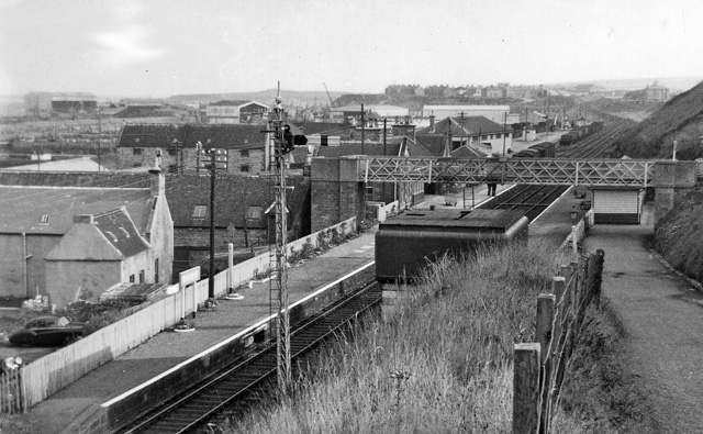
Buckie railway station
Buckie railway station was a railway station in Buckie, in current day Moray. The station was opened by the Great North of Scotland Railway (GNoSR) on...
Rathven
Rathven (Scots: Raffin) is an ecclesiastical parish, village and former civil parish in the historic county of Banff, now in Moray, Scotland. The civil...
Nearby Amenities
Located within 500m of 57.660976,-2.9417896Have you been to Clean Hill?
Leave your review of Clean Hill below (or comments, questions and feedback).