Hyssington

Settlement in Montgomeryshire

Wales

Hyssington

Roundton Hill Ablaze with gorse, the crag of Roundton, one of the last Welsh outcrops before the English border, is now a very lovely Montgomeryshire Wildlife Trust nature reserve.
Roundton Hill Credit: Mike Parker

Hyssington is a small, rural village located in Montgomeryshire, Wales. It is situated in the beautiful countryside, surrounded by rolling hills and lush green fields. The village is known for its peaceful and tranquil atmosphere, making it a popular destination for those seeking a quiet retreat.

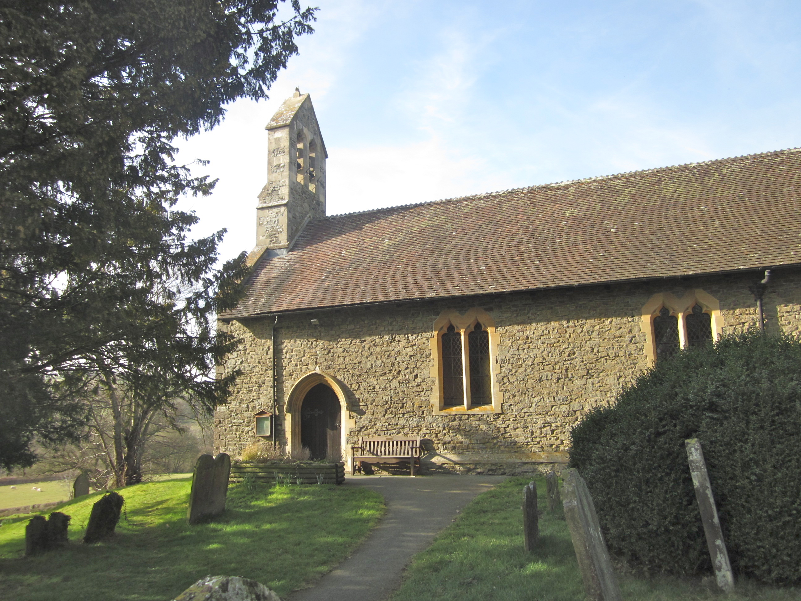
Hyssington is home to a close-knit community of residents who take pride in their village and its surroundings. The village is made up of traditional stone cottages and farmhouses, giving it a quaint and charming appearance. There is a small church in the village, adding to its historic and picturesque appeal.

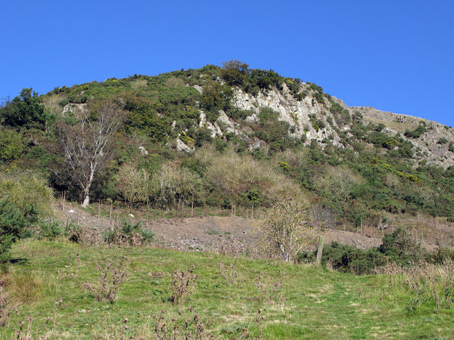
The surrounding area offers plenty of opportunities for outdoor activities such as hiking, cycling, and birdwatching. The nearby hills provide stunning views of the Welsh countryside, making it a popular spot for photographers and nature enthusiasts.

Overall, Hyssington is a hidden gem in Montgomeryshire, offering visitors a chance to escape the hustle and bustle of everyday life and immerse themselves in the beauty of the Welsh countryside.

If you have any feedback on the listing, please let us know in the comments section below.

Hyssington Images

Images are sourced within 2km of 52.541887/-3.016656 or Grid Reference SO3194. Thanks to Geograph Open Source API. All images are credited.

Roundton Hill Ablaze with gorse, the crag of Roundton, one of the last Welsh outcrops before the English border, is now a very lovely Montgomeryshire Wildlife Trust nature reserve.
Roundton Hill
Ablaze with gorse, the crag of Roundton, one of the last Welsh outcrops before the English border, is now a very lovely Montgomeryshire Wildlife Trust nature reserve.
A489 approaching Broadway Hall Looking east towards Bishop's Castle
A489 approaching Broadway Hall
Looking east towards Bishop's Castle
Roundton Roundton is a hill rising to just 370m; it's a National Nature Reserve in the care of Montgomery Wildlife Trust. <span class="nowrap"><a title="http://www.montwt.co.uk/hill.html" rel="nofollow ugc noopener" href="http://www.montwt.co.uk/hill.html">Link</a><img style="margin-left:2px;" alt="External link" title="External link - shift click to open in new window" src="https://s1.geograph.org.uk/img/external.png" width="10" height="10"/></span>  There's an Iron Age Fort too, at the summit.
Roundton
Roundton is a hill rising to just 370m; it's a National Nature Reserve in the care of Montgomery Wildlife Trust. LinkExternal link There's an Iron Age Fort too, at the summit.
Old wooden barn Viewed from a distance over a field.
Old wooden barn
Viewed from a distance over a field.
Old wooden barn and goose A goose is alert to interlopers approaching his barn.
Old wooden barn and goose
A goose is alert to interlopers approaching his barn.
Old farm buildings at Broadway Hall The outbuildings here may need a little attention.
Old farm buildings at Broadway Hall
The outbuildings here may need a little attention.
Old barn at Broadway Hall near Churchstoke Barns in a poor state of repair.
Old barn at Broadway Hall near Churchstoke
Barns in a poor state of repair.
On their way to Roundton Hill
Straight road to Broadway from Llanerch
Walkers leave the south cairn on Corndon Hill Corndon Hill has five stone cairns on prominent points around its summit, of which three can be easily accessed, two being sited in sheep pasture rather than on Open Access Land.
Walkers leave the south cairn on Corndon Hill
Corndon Hill has five stone cairns on prominent points around its summit, of which three can be easily accessed, two being sited in sheep pasture rather than on Open Access Land.
Slime mould on Corndon Hill If you have ever encountered this on walks you may well, as I have, discount it as dog vomit but it is in fact a slime mould, a life form that used to be classified as a fungi. It feeds on micro-organisms that you may find on the forest floor, lawns or logs. It grows to form a substance, such as this one, eventually dries out and becomes 'dust', dissolved in rain or washed away. The grass blades give scale but this example is five or six inches in length.
Slime mould on Corndon Hill
If you have ever encountered this on walks you may well, as I have, discount it as dog vomit but it is in fact a slime mould, a life form that used to be classified as a fungi. It feeds on micro-organisms that you may find on the forest floor, lawns or logs. It grows to form a substance, such as this one, eventually dries out and becomes 'dust', dissolved in rain or washed away. The grass blades give scale but this example is five or six inches in length.
Smaller slime mould on Corndon Hill The common name for this slime mould is 'Dog's vomit slime mould' as that is what it most readily resembles. I'm not a great person for getting on my knees to closely inspect things like this but I must say that they are amazing little life forms; emerging or forming, living their life cycle and drying out awaiting the opportunity to reform via spores released during their brief existence. They mystified early scientists and observers for years if not centuries until they have been more understood and studied only in recent decades.
Smaller slime mould on Corndon Hill
The common name for this slime mould is 'Dog's vomit slime mould' as that is what it most readily resembles. I'm not a great person for getting on my knees to closely inspect things like this but I must say that they are amazing little life forms; emerging or forming, living their life cycle and drying out awaiting the opportunity to reform via spores released during their brief existence. They mystified early scientists and observers for years if not centuries until they have been more understood and studied only in recent decades.
"Yeah, we're bored of slime moulds now" For scale, the slime moulds and some average sized human life forms.
"Yeah, we're bored of slime moulds now"
For scale, the slime moulds and some average sized human life forms.
Lay by off eastbound A489 near Lower Snead Farm
Barns at Brithdir Brithdir is a farm surrounded by low but steep hills. The barn(s) seen in this image from a path leading south-west, show a surprising number and variety of repair operations. The hillslopes seen beyond are of Corndon Hill.
Barns at Brithdir
Brithdir is a farm surrounded by low but steep hills. The barn(s) seen in this image from a path leading south-west, show a surprising number and variety of repair operations. The hillslopes seen beyond are of Corndon Hill.
Southern slope of Corndon Hill Grey scree contrasts with the brown of dead bracken and the grassed upper slope of Corndon Hill as seen over the roofs of buildings at Brithdir.
Southern slope of Corndon Hill
Grey scree contrasts with the brown of dead bracken and the grassed upper slope of Corndon Hill as seen over the roofs of buildings at Brithdir.
Daisy Bank Touring Caravan Park
Road junction near Welsh Lodge
Show me another place!

Hyssington is located at Grid Ref: SO3194 (Lat: 52.541887, Lng: -3.016656)

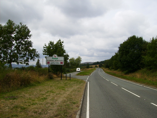
Unitary Authority: Powys

Police Authority: Dyfed Powys

What 3 Words

///ranks.merit.bogus. Near Lydham, Shropshire

Related Wikis

Hyssington

Hyssington (Welsh: Isatyn) is a parish in the South-Eastern corner of the historic county of Montgomeryshire in Wales and borders the county of Shropshire...
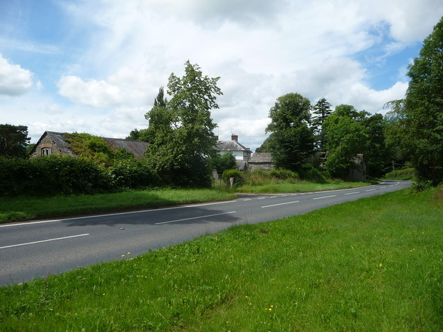
Snead, Powys

Snead is a small village in Powys, Wales. It is situated on the A489 road and the River Camlad. The English border is immediately to the east of the village...

Roundton Hill

Roundton Hill is a rounded, steep sided, 1,210 feet (370 m) hill, volcanic in origin, in the easternmost part of old Montgomeryshire (in present day-Powys...
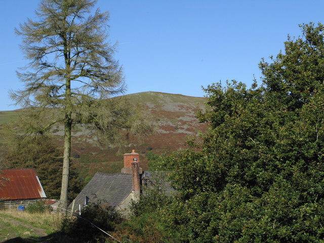
Heath Mynd

Heath Mynd is a hill in the English county of Shropshire. At a height of 452 metres (1,483 ft) it is fairly unnotable except for its Marilyn status, a...

Nearby Amenities

Located within 500m of 52.541887,-3.016656
Hyssington
Place: hamlet
Source: NPE
Lat/Long: 52.540444/-3.0144269
Direction: 100
Generator Method: photovoltaic
Generator Output Electricity: yes
Generator Solar Modules: 4
Generator Source: solar
Generator Type: solar_photovoltaic_panel
Location: roof
Power: generator
Lat/Long: 52.5397916/-3.0145166
Direction: 195
Fixme: suspect solar hot water
Generator Method: photovoltaic
Generator Output Electricity: yes
Generator Solar Modules: 2
Generator Source: solar
Generator Type: solar_photovoltaic_panel
Location: roof
Power: generator
Lat/Long: 52.539798/-3.0146353
Direction: 190
Generator Method: photovoltaic
Generator Output Electricity: yes
Generator Solar Modules: 2
Generator Source: solar
Generator Type: solar_photovoltaic_panel
Location: roof
Power: generator
Lat/Long: 52.5398108/-3.0146889
Direction: 190
Generator Method: photovoltaic
Generator Output Electricity: yes
Generator Solar Modules: 4
Generator Source: solar
Generator Type: solar_photovoltaic_panel
Location: roof
Power: generator
Lat/Long: 52.5398197/-3.014756
Direction: WSW
Generator Method: photovoltaic
Generator Output Electricity: yes
Generator Solar Modules: 16
Generator Source: solar
Generator Type: solar_photovoltaic_panel
Location: roof
Power: generator
Lat/Long: 52.5400269/-3.0144086
Direction: 215
Generator Method: photovoltaic
Generator Output Electricity: yes
Generator Solar Modules: 16
Generator Source: solar
Generator Type: solar_photovoltaic_panel
Location: roof
Power: generator
Lat/Long: 52.5401223/-3.0147989
Direction: SSW
Generator Method: photovoltaic
Generator Output Electricity: yes
Generator Solar Modules: 7
Generator Source: solar
Generator Type: solar_photovoltaic_panel
Location: roof
Power: generator
Lat/Long: 52.5438514/-3.0128999
Telephone
Booth: K6
Covered: booth
Listed Status: Grade II
Operator: BT
Phone: +44 1588 620360
Lat/Long: 52.5408747/-3.0147722
Post Box
Post Box Type: wall
Royal Cypher: GVIR
Royal Cypher Wikidata: Q33102169
Lat/Long: 52.540931/-3.0148011
The data included in this document is from www.openstreetmap.org. The data is made available under ODbL.

Have you been to Hyssington?

Leave your review of Hyssington below (or comments, questions and feedback).